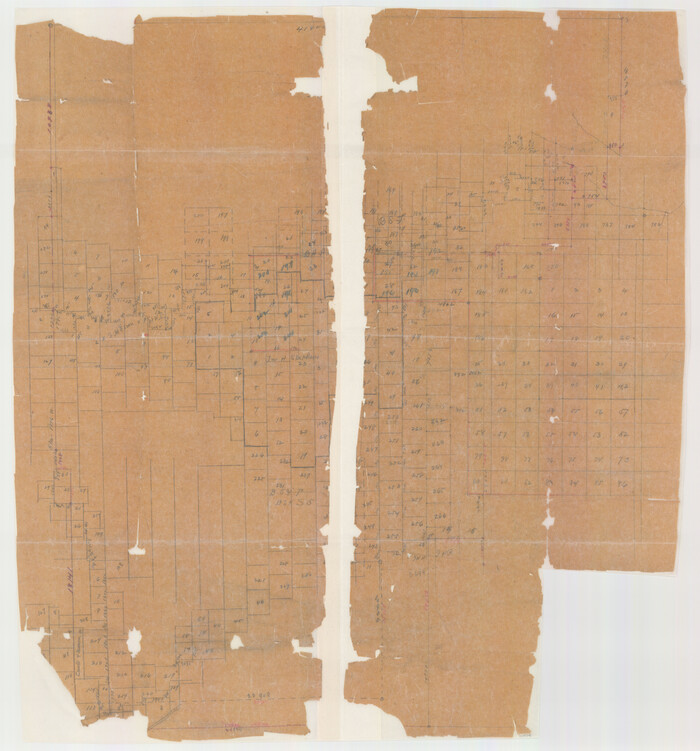
Hall County Sketch File 12
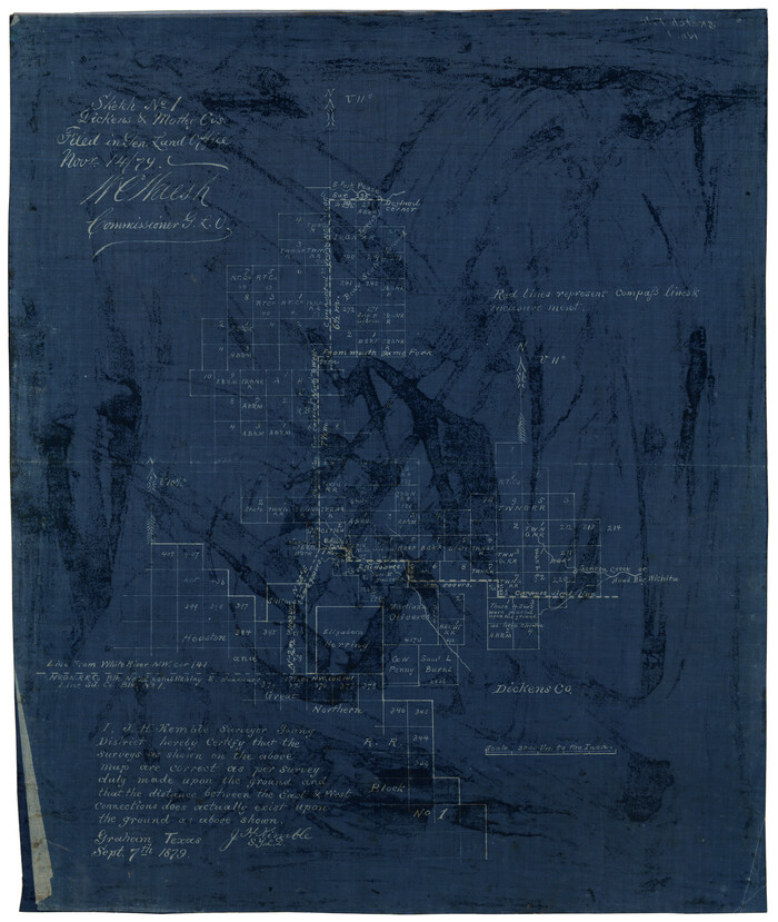
Sketch No. 1, Dickens & Motley Cos.
1879

Map of Motley County
1902

Briscoe County Sketch File 4
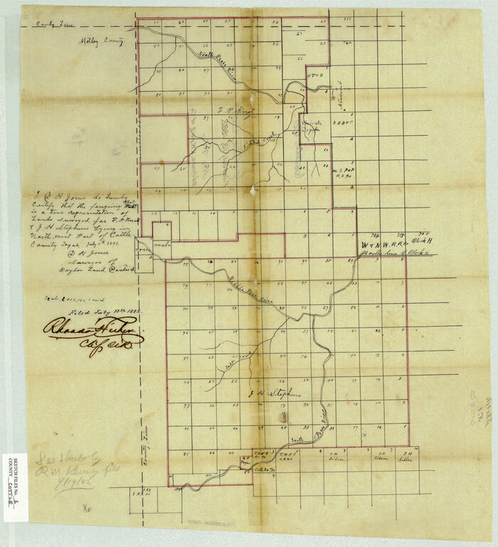
Cottle County Sketch File 1
1882

Cottle County Sketch File 7
1893

Cottle County Sketch File 8
1894

Cottle County Sketch File A1
1882
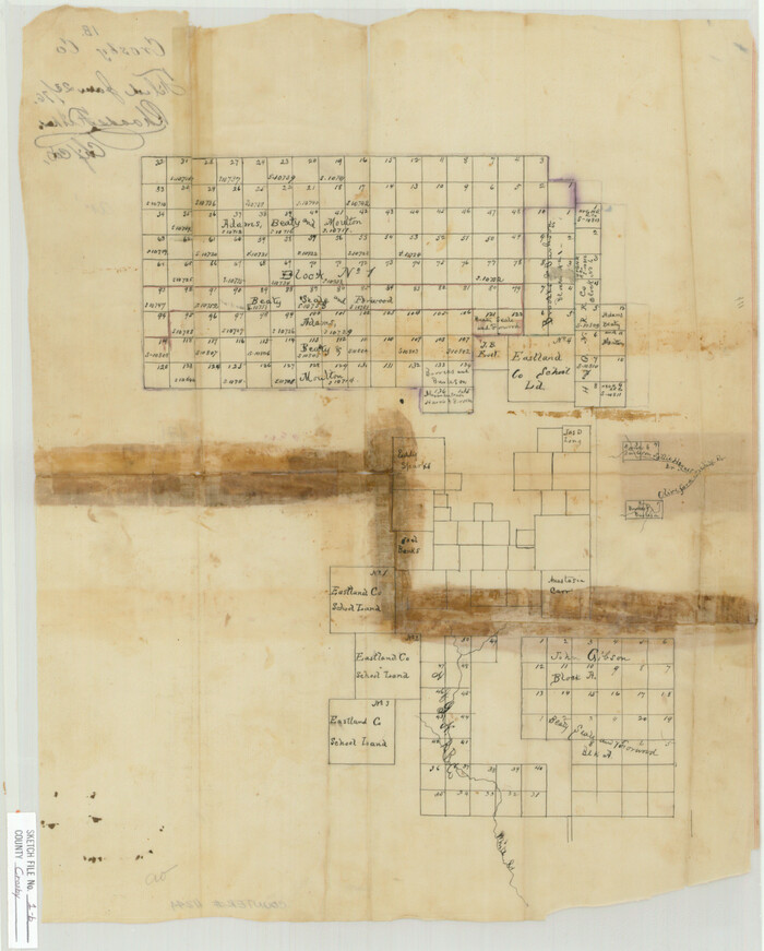
Crosby County Sketch File 1b
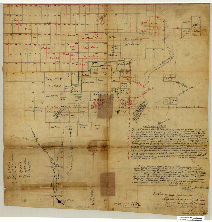
Crosby County Sketch File B
1877

Dickens County Sketch File 1
1879
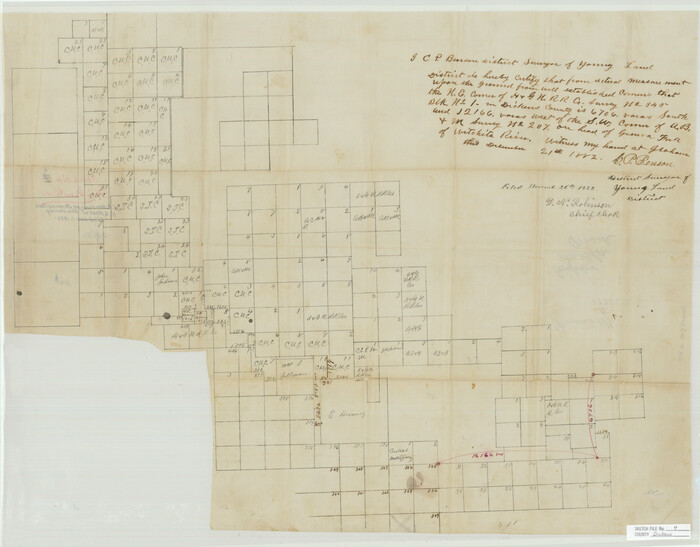
Dickens County Sketch File 4

Dickens County Sketch File 18aa
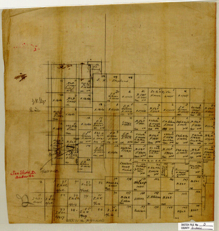
Dickens County Sketch File D
1883
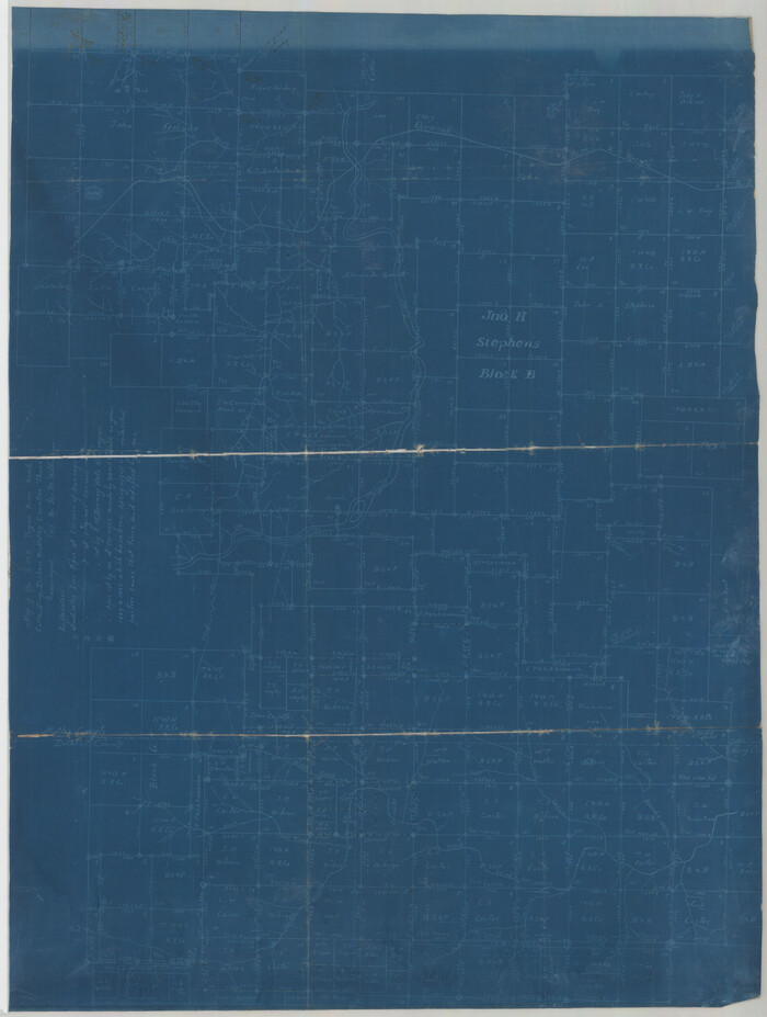
Dickens County Sketch File GW1
1911

Dickens County Sketch File GW3

Floyd County Sketch File 9
1901

Floyd County Sketch File 21
1914

Hall County Sketch File 5
1884

Hall County Sketch File 28
1913
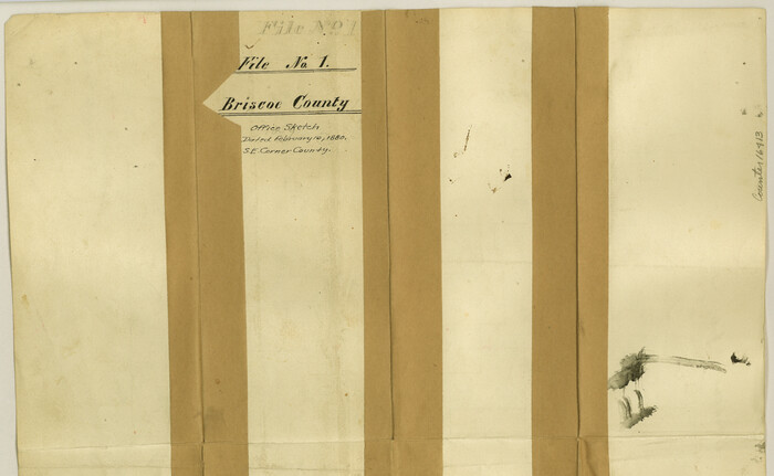
Briscoe County Sketch File 1
1880
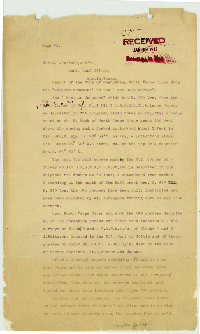
Briscoe County Sketch File 14a

Briscoe County Sketch File 16
1913
Cottle County Sketch File AA1
1895
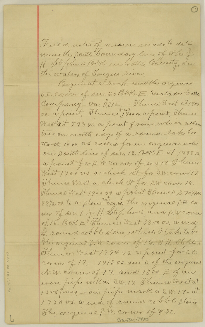
Cottle County Sketch File A and C
1902

Cottle County Sketch File F
1935

Cottle County Sketch File G

Hall County Sketch File 12
-
Size
31.9 x 35.5 inches
-
Map/Doc
10474

Sketch No. 1, Dickens & Motley Cos.
1879
-
Size
17.9 x 15.5 inches
-
Map/Doc
10761
-
Creation Date
1879

Motley Co.
1893
-
Size
49.5 x 37.8 inches
-
Map/Doc
10796
-
Creation Date
1893
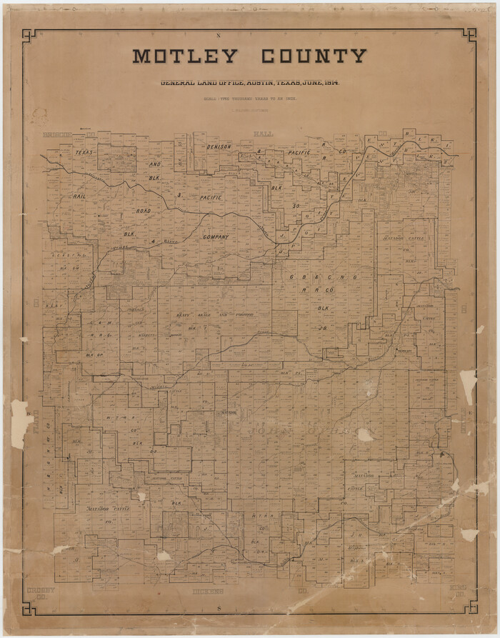
Motley County
1914
-
Size
47.7 x 37.4 inches
-
Map/Doc
10797
-
Creation Date
1914
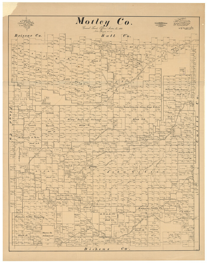
Motley Co.
1893
-
Size
40.9 x 32.9 inches
-
Map/Doc
10798
-
Creation Date
1893

Map of Motley County
1902
-
Size
43.4 x 37.7 inches
-
Map/Doc
10799
-
Creation Date
1902

Briscoe County Sketch File 4
-
Size
26.0 x 33.5 inches
-
Map/Doc
10993

Cottle County Sketch File 1
1882
-
Size
20.7 x 18.9 inches
-
Map/Doc
11189
-
Creation Date
1882

Cottle County Sketch File 7
1893
-
Size
22.1 x 20.7 inches
-
Map/Doc
11191
-
Creation Date
1893

Cottle County Sketch File 8
1894
-
Size
37.6 x 17.6 inches
-
Map/Doc
11192
-
Creation Date
1894

Cottle County Sketch File A1
1882
-
Size
15.7 x 29.1 inches
-
Map/Doc
11199
-
Creation Date
1882

Crosby County Sketch File 1b
-
Size
18.0 x 14.5 inches
-
Map/Doc
11244

Crosby County Sketch File B
1877
-
Size
21.9 x 21.0 inches
-
Map/Doc
11259
-
Creation Date
1877

Dickens County Sketch File 1
1879
-
Size
18.2 x 15.5 inches
-
Map/Doc
11315
-
Creation Date
1879

Dickens County Sketch File 4
-
Size
21.2 x 27.1 inches
-
Map/Doc
11317

Dickens County Sketch File 18aa
-
Size
17.2 x 18.2 inches
-
Map/Doc
11323

Dickens County Sketch File D
1883
-
Size
15.7 x 14.8 inches
-
Map/Doc
11330
-
Creation Date
1883

Dickens County Sketch File GW1
1911
-
Size
31.5 x 24.4 inches
-
Map/Doc
11334
-
Creation Date
1911

Dickens County Sketch File GW3
-
Size
13.9 x 26.6 inches
-
Map/Doc
11335

Floyd County Sketch File 9
1901
-
Size
22.1 x 15.3 inches
-
Map/Doc
11484
-
Creation Date
1901

Floyd County Sketch File 21
1914
-
Size
30.0 x 23.2 inches
-
Map/Doc
11486
-
Creation Date
1914

Hall County Sketch File 5
1884
-
Size
18.9 x 24.1 inches
-
Map/Doc
11602
-
Creation Date
1884

Hall County Sketch File 28
1913
-
Size
18.0 x 21.5 inches
-
Map/Doc
11611
-
Creation Date
1913

Briscoe County Sketch File 1
1880
-
Size
9.1 x 14.8 inches
-
Map/Doc
16413
-
Creation Date
1880

Briscoe County Sketch File 14a
-
Size
14.3 x 8.6 inches
-
Map/Doc
16519

Briscoe County Sketch File 16
1913
-
Size
13.4 x 9.1 inches
-
Map/Doc
16535
-
Creation Date
1913

Cottle County Sketch File AA1
1895
-
Size
9.4 x 4.2 inches
-
Map/Doc
19398
-
Creation Date
1895

Cottle County Sketch File A and C
1902
-
Size
12.7 x 8.0 inches
-
Map/Doc
19422
-
Creation Date
1902

Cottle County Sketch File F
1935
-
Size
11.5 x 8.8 inches
-
Map/Doc
19444
-
Creation Date
1935

Cottle County Sketch File G
-
Size
11.5 x 7.3 inches
-
Map/Doc
19447