
Water-Shed of the Pease River Drainage Area
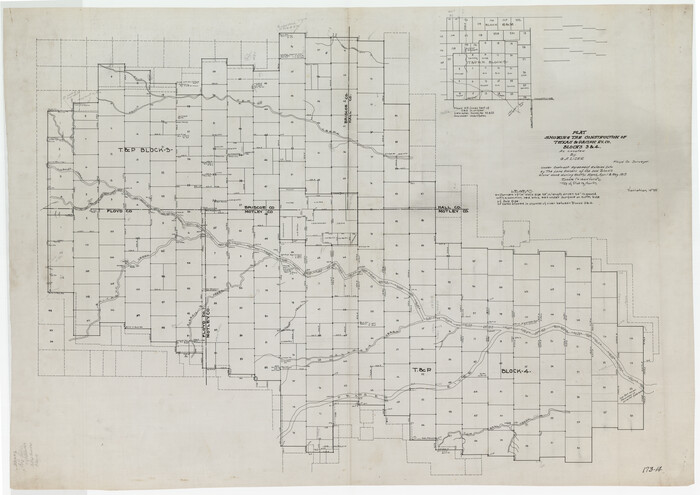
Plat Showing the Construction of Texas & Pacific Ry. Co. Blocks 3 & 4 As Located by G. A. Lider
1913
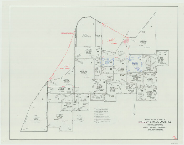
Motley County Working Sketch 7
1983
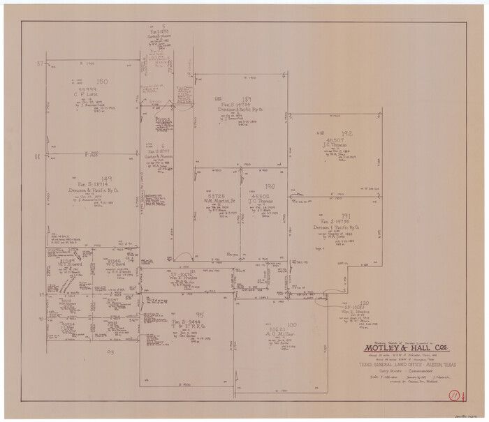
Motley County Working Sketch 11
1989

Motley County Sketch File C (N)

Motley County Sketch File B4 (N)
1900

Motley County Sketch File 8 (N)
1901

Motley County Sketch File 6 (N)
1900

Motley County Sketch File 38 (N)
1910
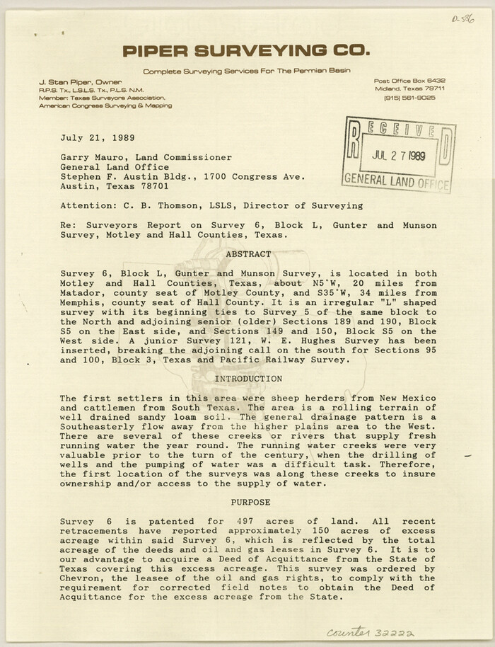
Motley County Sketch File 37 (S)
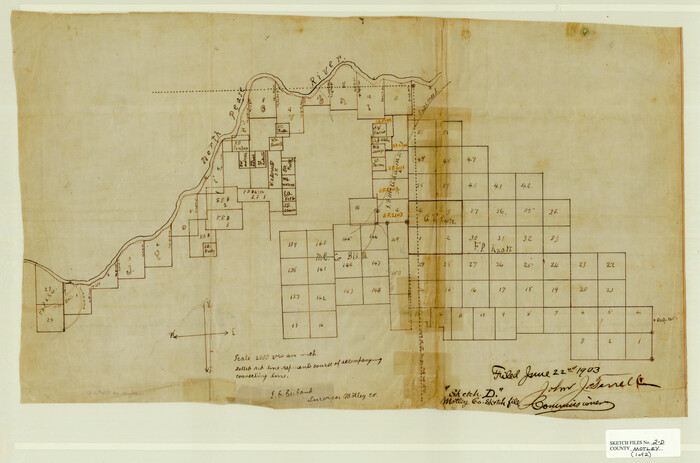
Motley County Sketch File 2-D
1903
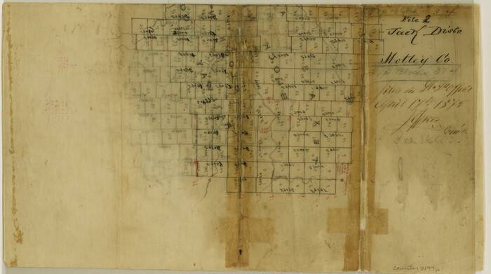
Motley County Sketch File 2 (N)
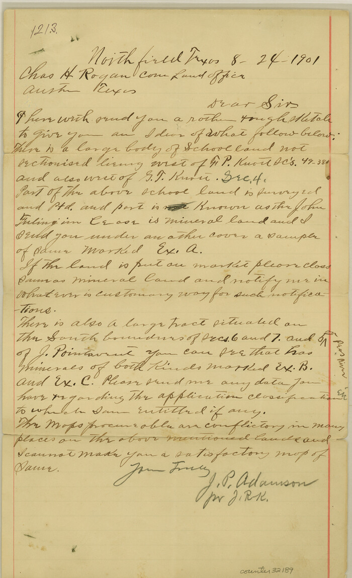
Motley County Sketch File 17 (S)
1901
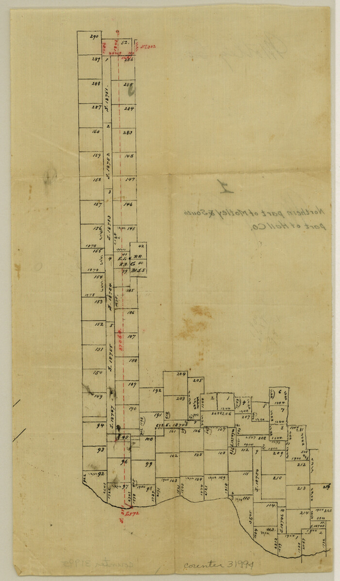
Motley County Sketch File 1 (N)
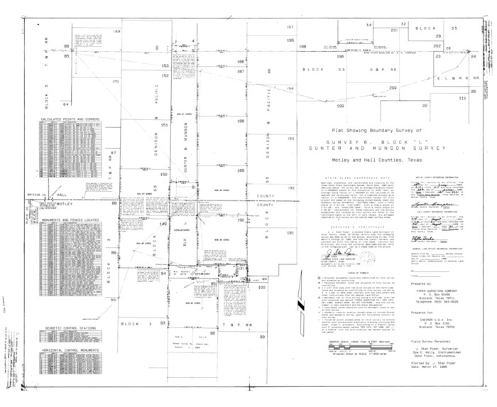
Motley County Rolled Sketch 1
1989

Map of Hall County
1900
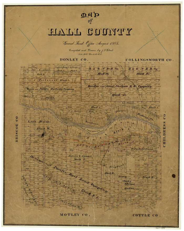
Map of Hall County
1895

Hardeman County Sketch File 8a

Hardeman County Sketch File 8

Hardeman County Sketch File 1

Hardeman County Rolled Sketch 14
1884
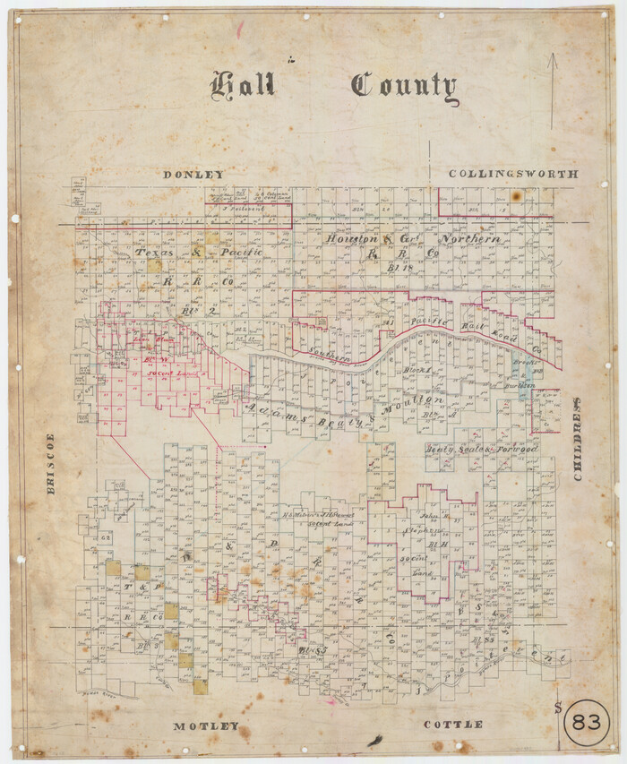
Hall County, Texas
1880

Hall County Working Sketch Graphic Index
1972
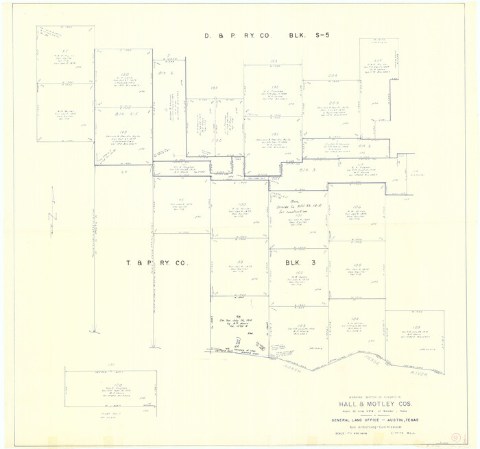
Hall County Working Sketch 9
1972
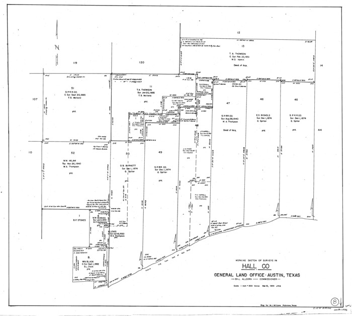
Hall County Working Sketch 8
1959
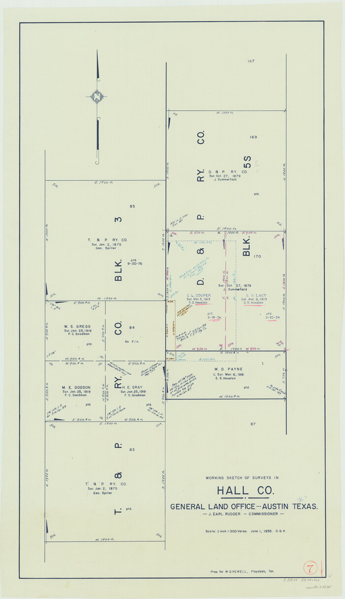
Hall County Working Sketch 7
1955

Hall County Working Sketch 6
1954
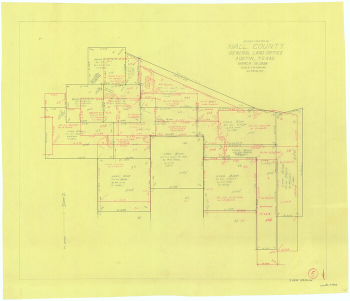
Hall County Working Sketch 5
1938
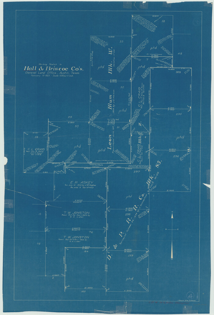
Hall County Working Sketch 4
1923
![1993, [Jack District], General Map Collection](https://historictexasmaps.com/wmedia_w700/maps/1993-1.tif.jpg)
[Jack District]
1878
-
Size
42.1 x 64.5 inches
-
Map/Doc
1993
-
Creation Date
1878

Water-Shed of the Pease River Drainage Area
-
Size
14.9 x 31.0 inches
-
Map/Doc
65102

Plat Showing the Construction of Texas & Pacific Ry. Co. Blocks 3 & 4 As Located by G. A. Lider
1913
-
Size
51.4 x 36.3 inches
-
Map/Doc
89931
-
Creation Date
1913

Motley County Working Sketch 7
1983
-
Size
33.8 x 42.8 inches
-
Map/Doc
71212
-
Creation Date
1983

Motley County Working Sketch 11
1989
-
Size
28.5 x 33.0 inches
-
Map/Doc
71216
-
Creation Date
1989

Motley County Sketch File C (N)
-
Size
7.7 x 18.4 inches
-
Map/Doc
31978

Motley County Sketch File B4 (N)
1900
-
Size
23.5 x 25.8 inches
-
Map/Doc
42151
-
Creation Date
1900

Motley County Sketch File 8 (N)
1901
-
Size
13.2 x 8.1 inches
-
Map/Doc
32016
-
Creation Date
1901

Motley County Sketch File 6 (N)
1900
-
Size
14.0 x 8.6 inches
-
Map/Doc
32004
-
Creation Date
1900

Motley County Sketch File 38 (N)
1910
-
Size
14.4 x 8.8 inches
-
Map/Doc
32086
-
Creation Date
1910

Motley County Sketch File 37 (S)
-
Size
11.3 x 8.7 inches
-
Map/Doc
32222

Motley County Sketch File 2-D
1903
-
Size
16.3 x 24.7 inches
-
Map/Doc
42134
-
Creation Date
1903

Motley County Sketch File 2 (N)
-
Size
8.3 x 14.8 inches
-
Map/Doc
31996

Motley County Sketch File 17 (S)
1901
-
Size
14.2 x 8.7 inches
-
Map/Doc
32189
-
Creation Date
1901

Motley County Sketch File 1 (N)
-
Size
11.4 x 6.7 inches
-
Map/Doc
31994

Motley County Rolled Sketch 1
1989
-
Size
39.0 x 47.6 inches
-
Map/Doc
9552
-
Creation Date
1989

Map of Hall County
1900
-
Size
41.2 x 41.3 inches
-
Map/Doc
16842
-
Creation Date
1900

Map of Hall County
1895
-
Size
25.2 x 20.2 inches
-
Map/Doc
3619
-
Creation Date
1895

Hardeman County Sketch File 8a
-
Size
16.0 x 32.0 inches
-
Map/Doc
11623

Hardeman County Sketch File 8
-
Size
12.8 x 8.2 inches
-
Map/Doc
25002

Hardeman County Sketch File 1
-
Size
31.0 x 45.7 inches
-
Map/Doc
10477

Hardeman County Rolled Sketch 14
1884
-
Size
23.9 x 59.2 inches
-
Map/Doc
9099
-
Creation Date
1884

Hall County, Texas
1880
-
Size
24.9 x 20.4 inches
-
Map/Doc
480
-
Creation Date
1880

Hall County Working Sketch Graphic Index
1972
-
Size
41.7 x 33.7 inches
-
Map/Doc
76563
-
Creation Date
1972

Hall County Working Sketch 9
1972
-
Size
36.9 x 39.4 inches
-
Map/Doc
63337
-
Creation Date
1972

Hall County Working Sketch 8
1959
-
Size
29.4 x 32.8 inches
-
Map/Doc
63336
-
Creation Date
1959

Hall County Working Sketch 7
1955
-
Size
31.6 x 18.2 inches
-
Map/Doc
63335
-
Creation Date
1955

Hall County Working Sketch 6
1954
-
Size
21.8 x 21.6 inches
-
Map/Doc
63334
-
Creation Date
1954

Hall County Working Sketch 5
1938
-
Size
21.7 x 25.2 inches
-
Map/Doc
63333
-
Creation Date
1938

Hall County Working Sketch 4
1923
-
Size
29.0 x 19.7 inches
-
Map/Doc
63332
-
Creation Date
1923