Motley County Sketch File 1 (N)
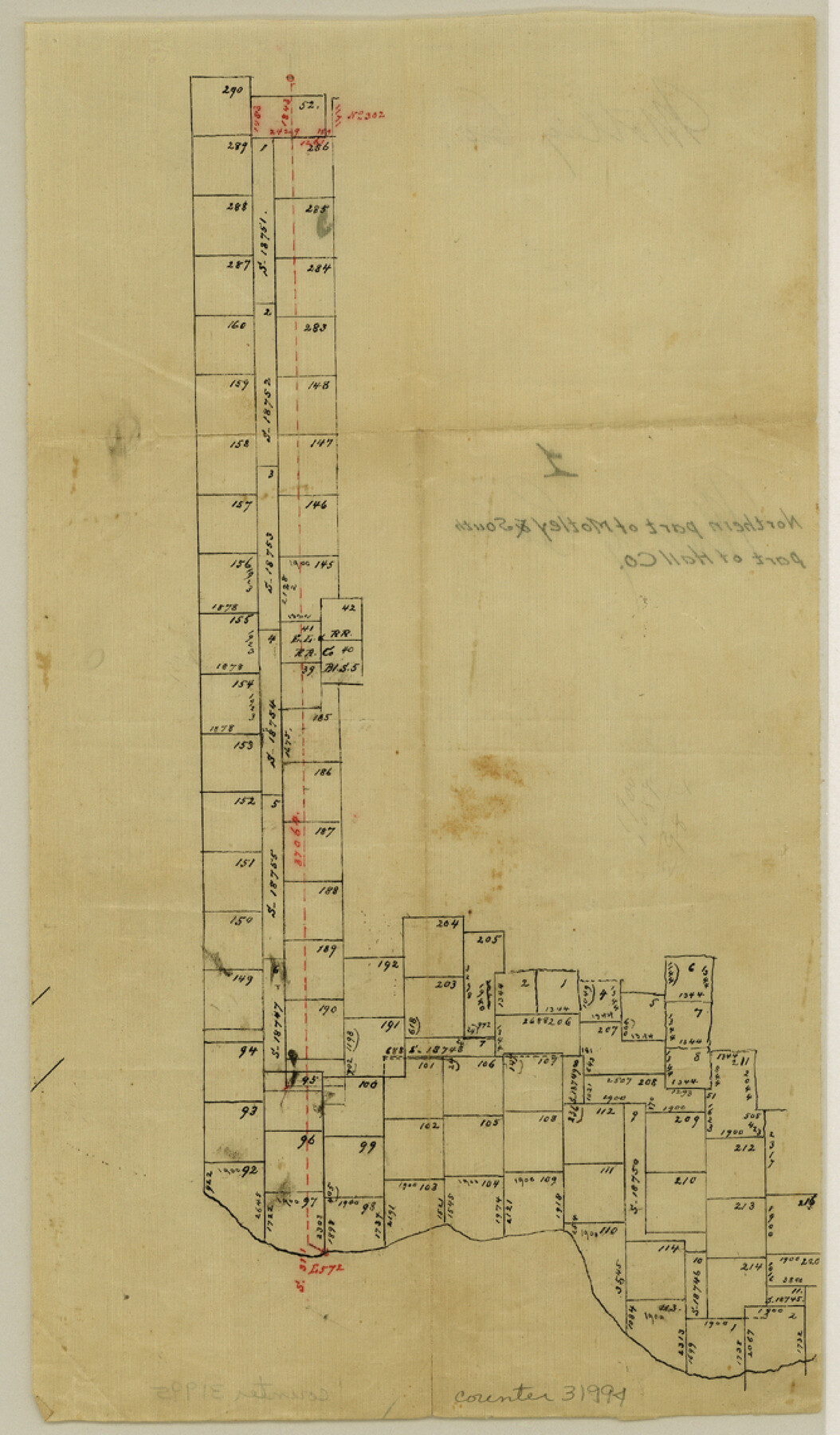
[Sketch of northern part of Motley County and south part of Hall County]
-
Map/Doc
31994
-
Collection
General Map Collection
-
Counties
Motley Hall
-
Subjects
Surveying Sketch File
-
Height x Width
11.4 x 6.7 inches
29.0 x 17.0 cm
-
Medium
paper, manuscript
Part of: General Map Collection
Brazoria County Working Sketch 34

Print $20.00
- Digital $50.00
Brazoria County Working Sketch 34
1981
Size 15.8 x 19.0 inches
Map/Doc 67519
Flight Mission No. DQO-8K, Frame 50, Galveston County

Print $20.00
- Digital $50.00
Flight Mission No. DQO-8K, Frame 50, Galveston County
1952
Size 18.7 x 22.4 inches
Map/Doc 85157
Hardin County Sketch File 46

Print $8.00
- Digital $50.00
Hardin County Sketch File 46
1875
Size 12.8 x 8.4 inches
Map/Doc 25196
Castro County Sketch File 4c

Print $4.00
- Digital $50.00
Castro County Sketch File 4c
Size 12.7 x 8.8 inches
Map/Doc 17469
Parker County Working Sketch 12

Print $20.00
- Digital $50.00
Parker County Working Sketch 12
1974
Map/Doc 71462
Willacy County

Print $20.00
- Digital $50.00
Willacy County
1921
Size 25.2 x 33.1 inches
Map/Doc 1901
Gaines County

Print $40.00
- Digital $50.00
Gaines County
1956
Size 43.8 x 55.0 inches
Map/Doc 73154
Grayson County Sketch File 14

Print $23.00
- Digital $50.00
Grayson County Sketch File 14
1873
Size 14.0 x 12.0 inches
Map/Doc 24482
Duval County Sketch File 37

Print $8.00
- Digital $50.00
Duval County Sketch File 37
Size 13.7 x 9.0 inches
Map/Doc 21385
Liberty County Sketch File 33

Print $4.00
- Digital $50.00
Liberty County Sketch File 33
Size 10.7 x 7.8 inches
Map/Doc 29967
Rio Grande Rectification Project, El Paso and Juarez Valley

Print $20.00
- Digital $50.00
Rio Grande Rectification Project, El Paso and Juarez Valley
1935
Size 11.0 x 29.7 inches
Map/Doc 60864
Potter County Rolled Sketch 10

Print $20.00
- Digital $50.00
Potter County Rolled Sketch 10
1963
Size 31.8 x 43.3 inches
Map/Doc 7323
You may also like
[Surveys in the Bexar District along the Medina River]
![17, [Surveys in the Bexar District along the Medina River], General Map Collection](https://historictexasmaps.com/wmedia_w700/maps/17.tif.jpg)
Print $20.00
- Digital $50.00
[Surveys in the Bexar District along the Medina River]
1841
Size 16.9 x 12.7 inches
Map/Doc 17
Flight Mission No. DCL-6C, Frame 179, Kenedy County

Print $20.00
- Digital $50.00
Flight Mission No. DCL-6C, Frame 179, Kenedy County
1943
Size 18.6 x 22.4 inches
Map/Doc 85991
Crane County Working Sketch 8

Print $20.00
- Digital $50.00
Crane County Working Sketch 8
1929
Size 33.2 x 28.4 inches
Map/Doc 68285
San Augustine County

Print $20.00
- Digital $50.00
San Augustine County
1871
Size 20.7 x 14.2 inches
Map/Doc 4014
Galveston County Working Sketch 21

Print $20.00
- Digital $50.00
Galveston County Working Sketch 21
1987
Size 28.9 x 23.9 inches
Map/Doc 69358
University Land Field Notes for Blocks 39, 41, 42, 44, 45, 46, 47, 50, and 51 in Crockett County, Blocks 38 and 40 in Crockett and Irion Counties, and Blocks 48 and 49 in Crockett and Reagan Counties, and Block 43 in Crockett, Irion, and Reagan Counties

University Land Field Notes for Blocks 39, 41, 42, 44, 45, 46, 47, 50, and 51 in Crockett County, Blocks 38 and 40 in Crockett and Irion Counties, and Blocks 48 and 49 in Crockett and Reagan Counties, and Block 43 in Crockett, Irion, and Reagan Counties
Map/Doc 81718
Van Zandt County Sketch File 16

Print $4.00
- Digital $50.00
Van Zandt County Sketch File 16
1858
Size 6.8 x 8.0 inches
Map/Doc 39410
Trinity River, Levee Improvement Districts, Widths of Floodways

Print $20.00
- Digital $50.00
Trinity River, Levee Improvement Districts, Widths of Floodways
1923
Size 37.6 x 28.2 inches
Map/Doc 65253
Matagorda Bay Including Lavaca and Tres Palacios Bays

Print $20.00
- Digital $50.00
Matagorda Bay Including Lavaca and Tres Palacios Bays
1975
Size 37.2 x 47.7 inches
Map/Doc 73364
Midland County Sketch File 14

Print $8.00
- Digital $50.00
Midland County Sketch File 14
1951
Size 10.9 x 8.7 inches
Map/Doc 31578
Capitol Lands survey by J. T. Munson

Print $20.00
- Digital $50.00
Capitol Lands survey by J. T. Munson
Size 24.8 x 20.4 inches
Map/Doc 90585
Henderson County

Print $40.00
- Digital $50.00
Henderson County
1922
Size 33.0 x 62.7 inches
Map/Doc 66861