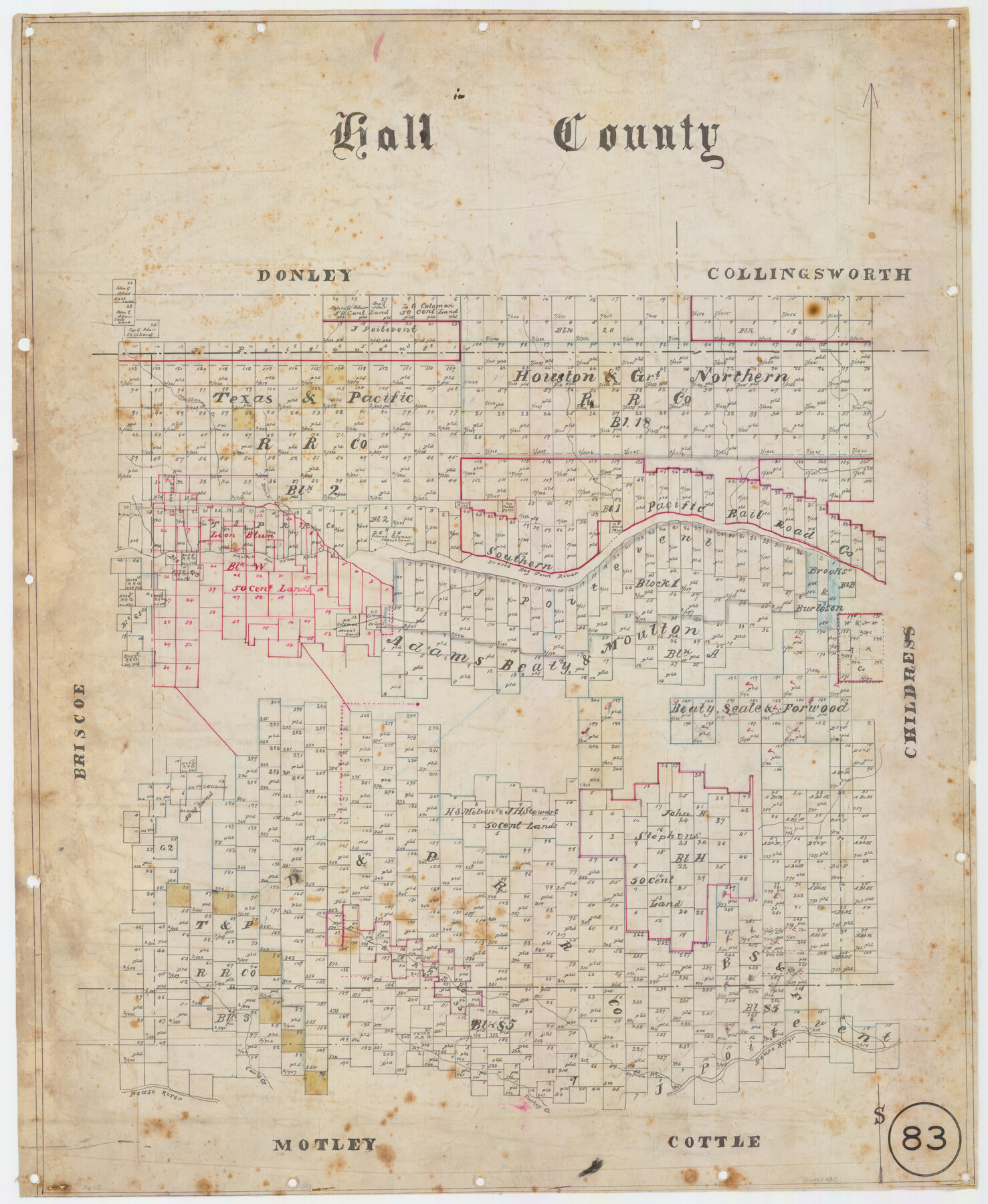
Hall County, Texas
-
Map/Doc
480
-
Collection
Maddox Collection
-
Object Dates
1880 (Creation Date)
-
Counties
Hall
-
Subjects
County
-
Height x Width
24.9 x 20.4 inches
63.2 x 51.8 cm
-
Medium
linen, manuscript
-
Comments
Conservation funded in 2009 by Friends of the Texas General Land Office.
-
Features
Mulberry Creek
Bank Creek
Barnes Creek
Prairie Dog Town River
Pease River
Gypsum Creek
Turkey Creek
Couls Creek
Part of: Maddox Collection
Map of Briscoe County, Texas

Print $20.00
- Digital $50.00
Map of Briscoe County, Texas
1879
Size 22.6 x 18.0 inches
Map/Doc 614
Map of surveys 191 & 192 T. C. R.R. Co. in Travis County, Texas

Print $20.00
- Digital $50.00
Map of surveys 191 & 192 T. C. R.R. Co. in Travis County, Texas
1915
Size 20.6 x 13.6 inches
Map/Doc 75554

[Upton County Sketch]
![76176, [Upton County Sketch], Maddox Collection](https://historictexasmaps.com/wmedia_w700/maps/76176.tif.jpg)
Print $40.00
- Digital $50.00
[Upton County Sketch]
Size 19.1 x 60.8 inches
Map/Doc 76176
[Joaquin Galan Grant, Webb County]
![583, [Joaquin Galan Grant, Webb County], Maddox Collection](https://historictexasmaps.com/wmedia_w700/maps/583-1.tif.jpg)
Print $20.00
- Digital $50.00
[Joaquin Galan Grant, Webb County]
1882
Size 12.4 x 11.7 inches
Map/Doc 583
Lynn County, Texas

Print $20.00
- Digital $50.00
Lynn County, Texas
1883
Size 19.0 x 18.3 inches
Map/Doc 739
Castro County, Texas

Print $20.00
- Digital $50.00
Castro County, Texas
1883
Size 20.8 x 18.7 inches
Map/Doc 682
Smithville, Bastrop County, Texas

Print $3.00
- Digital $50.00
Smithville, Bastrop County, Texas
1895
Size 11.0 x 17.2 inches
Map/Doc 531
Graham's Addition Being a Subdivision of a Portion of Lot No. 1 of Spear League

Print $20.00
- Digital $50.00
Graham's Addition Being a Subdivision of a Portion of Lot No. 1 of Spear League
1914
Size 33.2 x 13.6 inches
Map/Doc 83426
Tarrant County, Texas

Print $20.00
- Digital $50.00
Tarrant County, Texas
1870
Size 24.1 x 19.1 inches
Map/Doc 758
[Surveying Sketch of John Knight, Champion Choate, A. M. Lejarza, et al in Hardin County, Texas - Exhibit "G"]
![75821, [Surveying Sketch of John Knight, Champion Choate, A. M. Lejarza, et al in Hardin County, Texas - Exhibit "G"], Maddox Collection](https://historictexasmaps.com/wmedia_w700/maps/75821.tif.jpg)
Print $20.00
- Digital $50.00
[Surveying Sketch of John Knight, Champion Choate, A. M. Lejarza, et al in Hardin County, Texas - Exhibit "G"]
Size 18.3 x 23.5 inches
Map/Doc 75821
Map of Lands in King County, Texas owned and leased by the Louisville Land and Cattle Company

Print $20.00
- Digital $50.00
Map of Lands in King County, Texas owned and leased by the Louisville Land and Cattle Company
Size 32.1 x 25.9 inches
Map/Doc 5070
You may also like
Matagorda County Working Sketch 4

Print $20.00
- Digital $50.00
Matagorda County Working Sketch 4
1908
Size 33.1 x 32.0 inches
Map/Doc 70862
Mason County Working Sketch 18

Print $20.00
- Digital $50.00
Mason County Working Sketch 18
1980
Size 19.4 x 15.0 inches
Map/Doc 70854
Crockett County Working Sketch 80

Print $20.00
- Digital $50.00
Crockett County Working Sketch 80
1973
Size 28.1 x 26.1 inches
Map/Doc 68413
Wood County Rolled Sketch 7

Print $20.00
- Digital $50.00
Wood County Rolled Sketch 7
Size 31.9 x 26.9 inches
Map/Doc 8285
Bravo Deed, Instrument 24, Tract A and Tract B

Digital $50.00
Bravo Deed, Instrument 24, Tract A and Tract B
Map/Doc 91480
Bowie County Working Sketch 23

Print $20.00
- Digital $50.00
Bowie County Working Sketch 23
1969
Size 25.5 x 29.7 inches
Map/Doc 67427
Randall County Sketch File 6

Print $20.00
- Digital $50.00
Randall County Sketch File 6
Size 17.2 x 23.5 inches
Map/Doc 12208
[Sketch Showing Blocks O18 and B11]
![93108, [Sketch Showing Blocks O18 and B11], Twichell Survey Records](https://historictexasmaps.com/wmedia_w700/maps/93108-1.tif.jpg)
Print $3.00
- Digital $50.00
[Sketch Showing Blocks O18 and B11]
Size 15.5 x 11.9 inches
Map/Doc 93108
Upton County Rolled Sketch 4

Print $20.00
- Digital $50.00
Upton County Rolled Sketch 4
Size 34.4 x 42.8 inches
Map/Doc 76025
Brazos River, Darrington-Ramsey Farms Project

Print $20.00
- Digital $50.00
Brazos River, Darrington-Ramsey Farms Project
1930
Size 37.5 x 26.8 inches
Map/Doc 69677
Flight Mission No. DAG-21K, Frame 99, Matagorda County

Print $20.00
- Digital $50.00
Flight Mission No. DAG-21K, Frame 99, Matagorda County
1952
Size 17.5 x 16.3 inches
Map/Doc 86428
Map of Europe engraved to illustrate Mitchell's school and family geography

Print $20.00
- Digital $50.00
Map of Europe engraved to illustrate Mitchell's school and family geography
1839
Size 9.5 x 11.8 inches
Map/Doc 93502