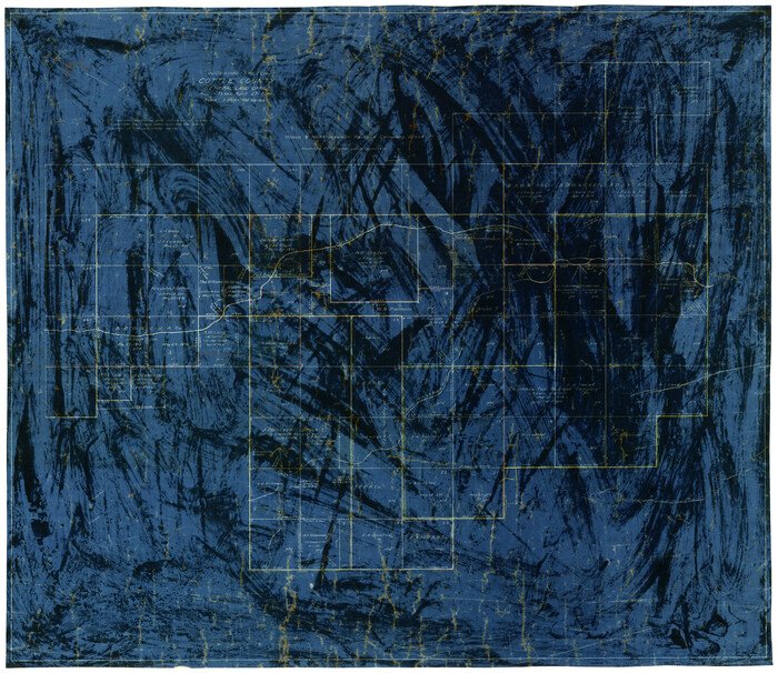
![583, [Joaquin Galan Grant, Webb County], Maddox Collection](https://historictexasmaps.com/wmedia_w1800h1800/maps/583-1.tif.jpg)
[Joaquin Galan Grant, Webb County]
-
Map/Doc
583
-
Collection
Maddox Collection
-
Object Dates
1/23/1882 (Creation Date)
-
People and Organizations
W.C. Walsh (GLO Commissioner)
GLO (Author)
-
Counties
Webb
-
Height x Width
12.4 x 11.7 inches
31.5 x 29.7 cm
-
Medium
paper, manuscript
-
Features
Arroyo Palo Blanco
Rancho of M. Gonzales
La Hamado San Pedro
Extillero Creek
Santo Tomas
Arroyo del Espada
Palafox
Llano Creek
Tomas Creek
Zacatosa Creek
San Isabel Creek
Republic of Mexico
Rio Grande
Part of: Maddox Collection
Red River County, Texas

Print $20.00
- Digital $50.00
Red River County, Texas
1870
Size 23.2 x 18.7 inches
Map/Doc 748
Working Sketch, Cottle County
Print $20.00
- Digital $50.00
Working Sketch, Cottle County
1916
Size 26.0 x 28.9 inches
Map/Doc 4435
[Pitchfork Ranch]
![4480, [Pitchfork Ranch], Maddox Collection](https://historictexasmaps.com/wmedia_w700/maps/4480.tif.jpg)
Print $20.00
- Digital $50.00
[Pitchfork Ranch]
1915
Size 20.8 x 17.2 inches
Map/Doc 4480
Hall County, Texas

Print $20.00
- Digital $50.00
Hall County, Texas
1880
Size 24.9 x 20.4 inches
Map/Doc 480
Sketch of Crosby Co.

Print $20.00
- Digital $50.00
Sketch of Crosby Co.
1884
Size 14.8 x 12.5 inches
Map/Doc 506
[Sketch of F.R. Lehmann surveys on the Rio Grande]
![554, [Sketch of F.R. Lehmann surveys on the Rio Grande], Maddox Collection](https://historictexasmaps.com/wmedia_w700/maps/554.tif.jpg)
Print $20.00
- Digital $50.00
[Sketch of F.R. Lehmann surveys on the Rio Grande]
Size 14.7 x 16.8 inches
Map/Doc 554
Sketch compiled from records of Collin County in General Land Office

Print $3.00
- Digital $50.00
Sketch compiled from records of Collin County in General Land Office
1878
Size 11.5 x 13.5 inches
Map/Doc 504
McClennan [sic] County, Texas
![577, McClennan [sic] County, Texas, Maddox Collection](https://historictexasmaps.com/wmedia_w700/maps/577.tif.jpg)
Print $20.00
- Digital $50.00
McClennan [sic] County, Texas
1880
Size 23.5 x 26.7 inches
Map/Doc 577
Map of Tyler County, Texas

Print $20.00
- Digital $50.00
Map of Tyler County, Texas
1881
Size 22.3 x 24.2 inches
Map/Doc 762
Throckmorton County, Texas

Print $20.00
- Digital $50.00
Throckmorton County, Texas
1880
Size 28.8 x 22.5 inches
Map/Doc 627
Hopkins County

Print $20.00
- Digital $50.00
Hopkins County
1888
Size 36.4 x 36.6 inches
Map/Doc 448
Wise County, Texas

Print $20.00
- Digital $50.00
Wise County, Texas
1870
Size 20.9 x 18.0 inches
Map/Doc 767
You may also like
McLennan County Sketch File 19

Print $18.00
- Digital $50.00
McLennan County Sketch File 19
1889
Size 12.8 x 7.9 inches
Map/Doc 31284
Lavaca County Working Sketch 19

Print $20.00
- Digital $50.00
Lavaca County Working Sketch 19
1980
Size 26.9 x 29.6 inches
Map/Doc 70372
Calhoun County Rolled Sketch 30

Print $20.00
- Digital $50.00
Calhoun County Rolled Sketch 30
1974
Size 18.5 x 27.5 inches
Map/Doc 5496
Palo Pinto County Working Sketch 8

Print $20.00
- Digital $50.00
Palo Pinto County Working Sketch 8
1922
Map/Doc 71391
Flight Mission No. CUG-3P, Frame 90, Kleberg County

Print $20.00
- Digital $50.00
Flight Mission No. CUG-3P, Frame 90, Kleberg County
1956
Size 18.6 x 22.3 inches
Map/Doc 86260
Jeff Davis County Sketch File 26 1/2

Print $10.00
- Digital $50.00
Jeff Davis County Sketch File 26 1/2
Size 9.0 x 10.4 inches
Map/Doc 27999
Matagorda County State Real Property Sketch 1

Print $20.00
- Digital $50.00
Matagorda County State Real Property Sketch 1
1989
Size 19.1 x 25.2 inches
Map/Doc 95171
[Parts of T. & P. 30 and 31, T3N, H. & T. C. 27]
![91206, [Parts of T. & P. 30 and 31, T3N, H. & T. C. 27], Twichell Survey Records](https://historictexasmaps.com/wmedia_w700/maps/91206-1.tif.jpg)
Print $20.00
- Digital $50.00
[Parts of T. & P. 30 and 31, T3N, H. & T. C. 27]
Size 17.4 x 14.4 inches
Map/Doc 91206
[Right of Way Map, Belton Branch of the M.K.&T. RR.]
![64229, [Right of Way Map, Belton Branch of the M.K.&T. RR.], General Map Collection](https://historictexasmaps.com/wmedia_w700/maps/64229.tif.jpg)
Print $20.00
- Digital $50.00
[Right of Way Map, Belton Branch of the M.K.&T. RR.]
1896
Size 22.1 x 7.3 inches
Map/Doc 64229
General Highway Map, Fayette County, Texas

Print $20.00
General Highway Map, Fayette County, Texas
1940
Size 18.5 x 25.0 inches
Map/Doc 79089
Harris County Sketch File 92

Print $20.00
- Digital $50.00
Harris County Sketch File 92
1932
Size 37.9 x 35.0 inches
Map/Doc 10483
[Surveys in the vicinity of Coyote Lake, Bailey County]
![90161, [Surveys in the vicinity of Coyote Lake, Bailey County], Twichell Survey Records](https://historictexasmaps.com/wmedia_w700/maps/90161-1.tif.jpg)
Print $20.00
- Digital $50.00
[Surveys in the vicinity of Coyote Lake, Bailey County]
1913
Size 26.8 x 26.7 inches
Map/Doc 90161