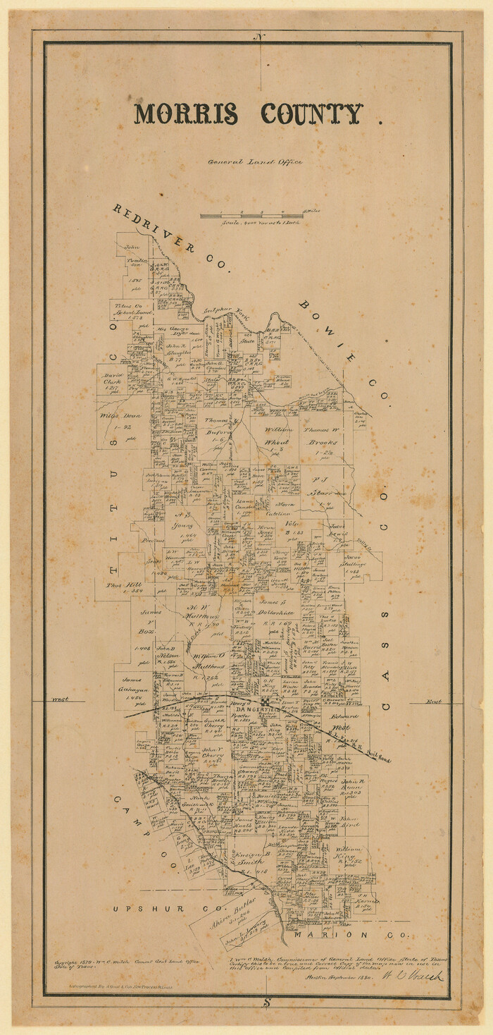
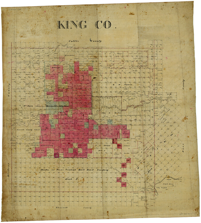
McClennan [sic] County, Texas
-
Map/Doc
577
-
Collection
Maddox Collection
-
Object Dates
1880 (Creation Date)
-
People and Organizations
General Land Office (Publisher)
W.C. Walsh (GLO Commissioner)
August Gast & Co. (Lithographer)
-
Counties
McLennan
-
Subjects
County
-
Height x Width
23.5 x 26.7 inches
59.7 x 67.8 cm
-
Medium
paper, etching/engraving/lithograph
-
Scale
1:4000
-
Comments
Adopted with contributions from the 2009 State Employee Charitable Campaign (SECC).
-
Features
Perr Road
Waco Creek
Waco Spring
Sheep Range Creek
Comanche Spring Road
Bellton [sic] Road
Tehuacano [Creek]
Harrison
Road to Marlin
Road to Kosse
Turtle Bayou
River Road
Robinso[n]ville
Road to Eagle Spring
Road to Gatesville
Goliad Road
Bullhide or Lake Creek
Bullhide Creek
Lake Creek
Moonville Road
Bear Creek
Fish Creek
Perry
Lower Waco Creek
Big Sandy Creek
Brazos River
Cow Bayou
Main Bosque [River]
Childers or Clear Creek
Childers Creek
Clear Creek
Snake Creek
Bold Springs
Elm Fork of Tehuacano Creek
Road to Dallas
Whiterock Creek
Aquila Creek
Road to Fort Graham
Road to Meridia
China Springs
P.O. China Springs
East Fork of Elm Fork of Tehuacano Creek
Soursville and Clifton Road
Soursville Road
Clifton Road
Hogg Creek
Live Oak Creek
Middle Bosque [River]
Bosque R[iver]
Road to Corsicana
Caddo Trail
Tradinghouse Creek
Road to Springfield
Waco
Part of: Maddox Collection
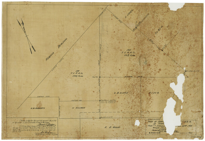
Map of surveys 189 & 190, T. C. R.R. Co. in Travis County, Texas

Print $20.00
- Digital $50.00
Map of surveys 189 & 190, T. C. R.R. Co. in Travis County, Texas
1915
Size 16.3 x 23.5 inches
Map/Doc 75762
Map Showing Position of Surveys Represented Hereon


Print $40.00
- Digital $50.00
Map Showing Position of Surveys Represented Hereon
Size 38.9 x 57.2 inches
Map/Doc 75809
Map of the C.C. Browning survey 412 enlarged from General Land Office map of the west part of Travis County, Texas


Print $3.00
- Digital $50.00
Map of the C.C. Browning survey 412 enlarged from General Land Office map of the west part of Travis County, Texas
1920
Size 11.3 x 9.1 inches
Map/Doc 10752
Refugio County, Texas


Print $20.00
- Digital $50.00
Refugio County, Texas
1879
Size 19.9 x 29.0 inches
Map/Doc 600
Guadalupe County, Texas


Print $20.00
- Digital $50.00
Guadalupe County, Texas
1880
Size 24.7 x 22.5 inches
Map/Doc 491
Part of Tom Green County, Texas (No. 1)


Print $20.00
- Digital $50.00
Part of Tom Green County, Texas (No. 1)
1870
Size 22.8 x 17.7 inches
Map/Doc 759
[Robertson Co.]
![4488, [Robertson Co.], Maddox Collection](https://historictexasmaps.com/wmedia_w700/maps/4488.tif.jpg)
![4488, [Robertson Co.], Maddox Collection](https://historictexasmaps.com/wmedia_w700/maps/4488.tif.jpg)
Print $20.00
- Digital $50.00
[Robertson Co.]
1880
Size 32.3 x 44.3 inches
Map/Doc 4488
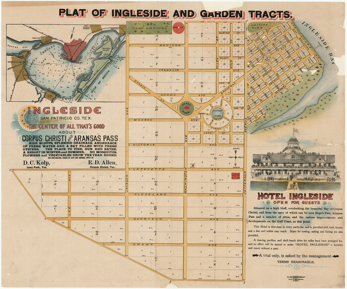
Plat of Ingleside and Garden Tracts

Print $20.00
- Digital $50.00
Plat of Ingleside and Garden Tracts
1890
Size 25.4 x 30.4 inches
Map/Doc 661
Map of surveys 189 & 190 T. C. R.R. Co. in Travis County, Texas
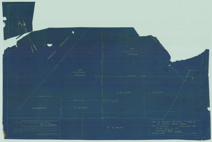

Print $20.00
- Digital $50.00
Map of surveys 189 & 190 T. C. R.R. Co. in Travis County, Texas
1915
Size 16.1 x 24.0 inches
Map/Doc 5079
Trinity County, Texas
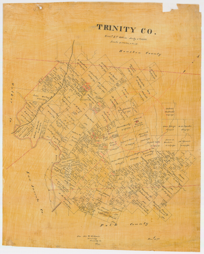

Print $20.00
- Digital $50.00
Trinity County, Texas
1882
Size 20.3 x 17.4 inches
Map/Doc 485
You may also like
Kleberg County Rolled Sketch 10-21


Print $20.00
- Digital $50.00
Kleberg County Rolled Sketch 10-21
1952
Size 37.5 x 32.9 inches
Map/Doc 9403
Wichita County Sketch File R
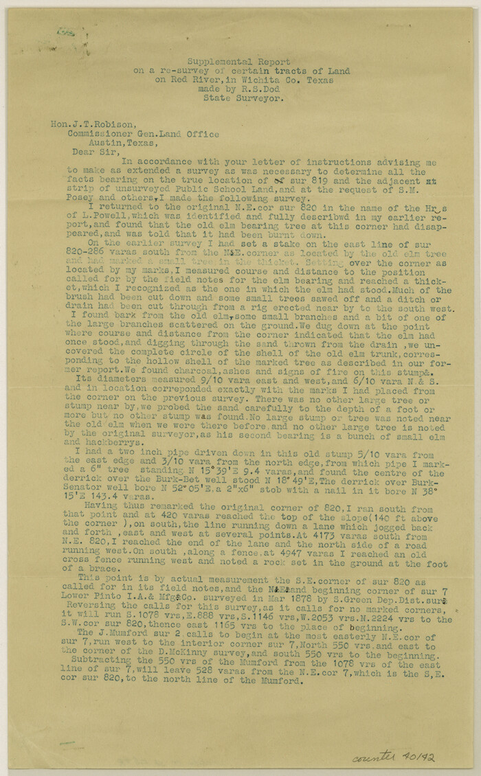

Print $8.00
- Digital $50.00
Wichita County Sketch File R
Size 14.3 x 8.8 inches
Map/Doc 40142
Pecos County Sketch [University Blocks 19 and 20]
![2439, Pecos County Sketch [University Blocks 19 and 20], General Map Collection](https://historictexasmaps.com/wmedia_w700/maps/2439-1.tif.jpg)
![2439, Pecos County Sketch [University Blocks 19 and 20], General Map Collection](https://historictexasmaps.com/wmedia_w700/maps/2439-1.tif.jpg)
Print $20.00
- Digital $50.00
Pecos County Sketch [University Blocks 19 and 20]
1951
Size 31.3 x 15.8 inches
Map/Doc 2439
Current Miscellaneous File 88
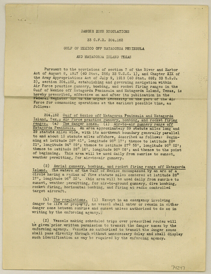

Print $12.00
- Digital $50.00
Current Miscellaneous File 88
1954
Size 10.9 x 8.4 inches
Map/Doc 74247
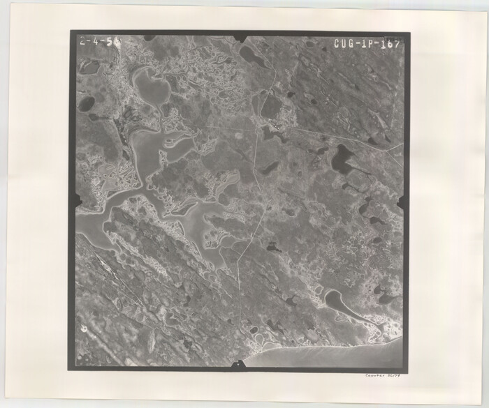
Flight Mission No. CUG-1P, Frame 167, Kleberg County

Print $20.00
- Digital $50.00
Flight Mission No. CUG-1P, Frame 167, Kleberg County
1956
Size 18.7 x 22.4 inches
Map/Doc 86174
Copy of Surveyor's Field Book, Morris Browning - In Blocks 7, 5 & 4, I&GNRRCo., Hutchinson and Carson Counties, Texas


Print $2.00
- Digital $50.00
Copy of Surveyor's Field Book, Morris Browning - In Blocks 7, 5 & 4, I&GNRRCo., Hutchinson and Carson Counties, Texas
1888
Size 6.9 x 8.8 inches
Map/Doc 62281
Water-Shed of the Brazos River


Print $40.00
- Digital $50.00
Water-Shed of the Brazos River
1925
Size 35.0 x 88.0 inches
Map/Doc 65263
Sterling County Rolled Sketch 14

Print $20.00
- Digital $50.00
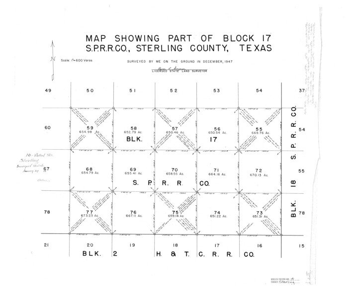
Sterling County Rolled Sketch 14
Size 22.3 x 26.6 inches
Map/Doc 7848
Working Sketch in Hutchinson County


Print $20.00
- Digital $50.00
Working Sketch in Hutchinson County
1922
Size 16.9 x 13.6 inches
Map/Doc 91251
Fisher County Working Sketch 4

Print $20.00
- Digital $50.00
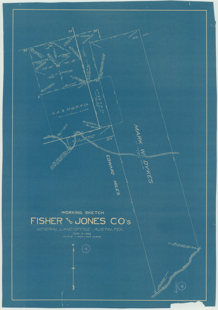
Fisher County Working Sketch 4
1926
Size 24.4 x 17.2 inches
Map/Doc 69138
Pecos County Sketch File 20

Print $20.00
- Digital $50.00
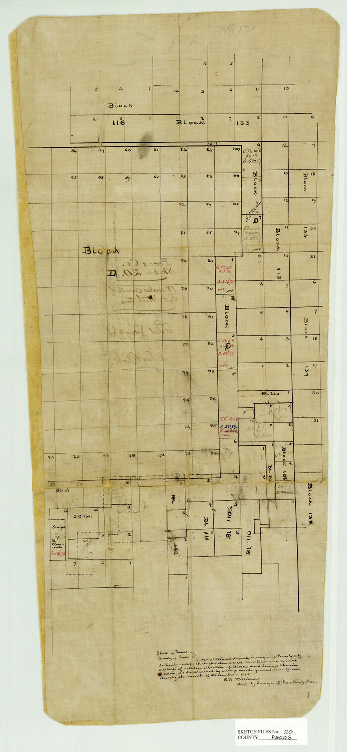
Pecos County Sketch File 20
Size 25.9 x 12.0 inches
Map/Doc 12160
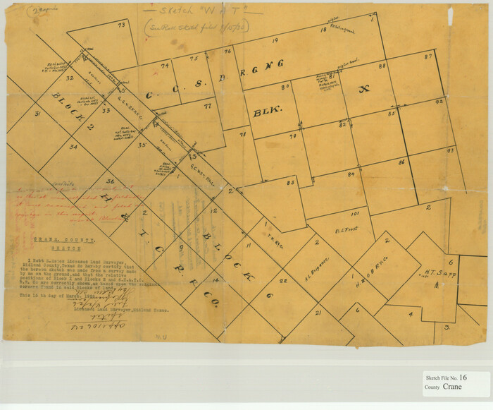
Crane County Sketch File 16

Print $20.00
- Digital $50.00
Crane County Sketch File 16
Size 15.8 x 19.1 inches
Map/Doc 11209
![577, McClennan [sic] County, Texas, Maddox Collection](https://historictexasmaps.com/wmedia_w1800h1800/maps/577.tif.jpg)
