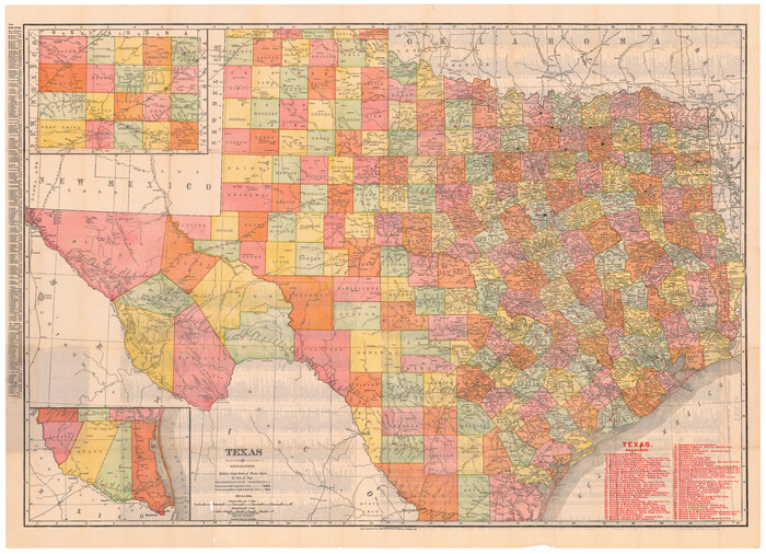
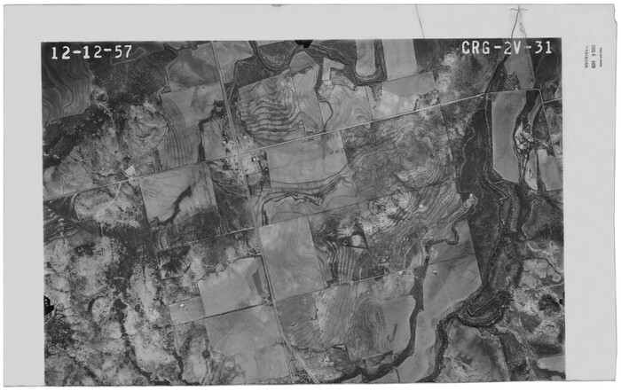
[Portion of Motley County]
173-10
-
Map/Doc
91501
-
Collection
Twichell Survey Records
-
People and Organizations
W.D. Twichell (Surveyor/Engineer)
-
Counties
Motley
-
Height x Width
28.8 x 18.4 inches
73.2 x 46.7 cm
Part of: Twichell Survey Records
[Texas State Capitol Land Leagues and Surrounding Blocks]
![91055, [Texas State Capitol Land Leagues and Surrounding Blocks], Twichell Survey Records](https://historictexasmaps.com/wmedia_w700/maps/91055-1.tif.jpg)
![91055, [Texas State Capitol Land Leagues and Surrounding Blocks], Twichell Survey Records](https://historictexasmaps.com/wmedia_w700/maps/91055-1.tif.jpg)
Print $20.00
- Digital $50.00
[Texas State Capitol Land Leagues and Surrounding Blocks]
Size 30.2 x 33.6 inches
Map/Doc 91055
[John S. Stephens Blk. S2, Lgs. 174-177, 186-193, 201-209]
![89984, [John S. Stephens Blk. S2, Lgs. 174-177, 186-193, 201-209], Twichell Survey Records](https://historictexasmaps.com/wmedia_w700/maps/89984-1.tif.jpg)
![89984, [John S. Stephens Blk. S2, Lgs. 174-177, 186-193, 201-209], Twichell Survey Records](https://historictexasmaps.com/wmedia_w700/maps/89984-1.tif.jpg)
Print $2.00
- Digital $50.00
[John S. Stephens Blk. S2, Lgs. 174-177, 186-193, 201-209]
1912
Size 11.4 x 8.8 inches
Map/Doc 89984
University of Texas System University Lands


Print $20.00
- Digital $50.00
University of Texas System University Lands
1936
Size 23.1 x 17.5 inches
Map/Doc 93239
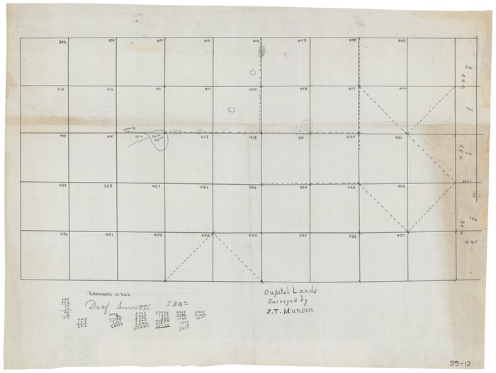
Capitol Lands Surveyed by J. T. Munson

Print $20.00
- Digital $50.00
Capitol Lands Surveyed by J. T. Munson
Size 25.8 x 19.4 inches
Map/Doc 90597
[Sections 51-80 Block 47 and part of Block 3]
![91810, [Sections 51-80 Block 47 and part of Block 3], Twichell Survey Records](https://historictexasmaps.com/wmedia_w700/maps/91810-1.tif.jpg)
![91810, [Sections 51-80 Block 47 and part of Block 3], Twichell Survey Records](https://historictexasmaps.com/wmedia_w700/maps/91810-1.tif.jpg)
Print $20.00
- Digital $50.00
[Sections 51-80 Block 47 and part of Block 3]
Size 25.0 x 32.8 inches
Map/Doc 91810
[Blks. B9, J, D19, John Walker]
![90482, [Blks. B9, J, D19, John Walker], Twichell Survey Records](https://historictexasmaps.com/wmedia_w700/maps/90482-1.tif.jpg)
![90482, [Blks. B9, J, D19, John Walker], Twichell Survey Records](https://historictexasmaps.com/wmedia_w700/maps/90482-1.tif.jpg)
Print $20.00
- Digital $50.00
[Blks. B9, J, D19, John Walker]
Size 27.8 x 15.9 inches
Map/Doc 90482
[Sketch in Sherman County around Coldwater]
![91901, [Sketch in Sherman County around Coldwater], Twichell Survey Records](https://historictexasmaps.com/wmedia_w700/maps/91901-1.tif.jpg)
![91901, [Sketch in Sherman County around Coldwater], Twichell Survey Records](https://historictexasmaps.com/wmedia_w700/maps/91901-1.tif.jpg)
Print $20.00
- Digital $50.00
[Sketch in Sherman County around Coldwater]
1888
Size 12.7 x 18.7 inches
Map/Doc 91901
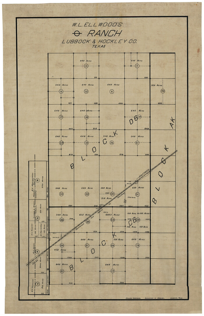
W. L. Ellwood's O Ranch, Lubbock and Hockley Co.

Print $20.00
- Digital $50.00
W. L. Ellwood's O Ranch, Lubbock and Hockley Co.
Size 15.5 x 23.8 inches
Map/Doc 92762
[Sketch showing Block H, Section 11 of Roberts County, including the south bank of the Canadian River]
![91761, [Sketch showing Block H, Section 11 of Roberts County, including the south bank of the Canadian River], Twichell Survey Records](https://historictexasmaps.com/wmedia_w700/maps/91761-1.tif.jpg)
![91761, [Sketch showing Block H, Section 11 of Roberts County, including the south bank of the Canadian River], Twichell Survey Records](https://historictexasmaps.com/wmedia_w700/maps/91761-1.tif.jpg)
Print $2.00
- Digital $50.00
[Sketch showing Block H, Section 11 of Roberts County, including the south bank of the Canadian River]
1919
Size 14.4 x 8.8 inches
Map/Doc 91761
Steele Addition, Seagraves, Texas


Print $20.00
- Digital $50.00
Steele Addition, Seagraves, Texas
Size 17.4 x 26.3 inches
Map/Doc 92655
[Letter from T. F. Pinckney to W. D. Twichell accompanying sketch showing Blocks 14, 341, and G5]
![93110, [Letter from T. F. Pinckney to W. D. Twichell accompanying sketch showing Blocks 14, 341, and G5], Twichell Survey Records](https://historictexasmaps.com/wmedia_w700/maps/93110-1.tif.jpg)
![93110, [Letter from T. F. Pinckney to W. D. Twichell accompanying sketch showing Blocks 14, 341, and G5], Twichell Survey Records](https://historictexasmaps.com/wmedia_w700/maps/93110-1.tif.jpg)
Print $2.00
- Digital $50.00
[Letter from T. F. Pinckney to W. D. Twichell accompanying sketch showing Blocks 14, 341, and G5]
1911
Size 8.0 x 9.5 inches
Map/Doc 93110
You may also like
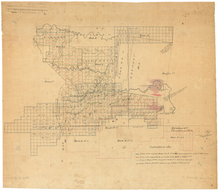
Knox County Rolled Sketch 8

Print $20.00
- Digital $50.00
Knox County Rolled Sketch 8
Size 28.2 x 32.5 inches
Map/Doc 9406
International boundary between U.S. & Mexico in Gulf of Mexico from 12 mile point easterly to 200 mile limit

Print $3.00
- Digital $50.00
International boundary between U.S. & Mexico in Gulf of Mexico from 12 mile point easterly to 200 mile limit
1976
Size 9.6 x 14.8 inches
Map/Doc 1748
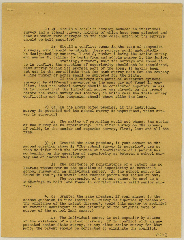
Current Miscellaneous File 87

Print $8.00
- Digital $50.00
Current Miscellaneous File 87
Size 11.3 x 8.6 inches
Map/Doc 74243
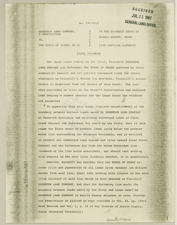
Harris County Sketch File 91

Print $141.00
- Digital $50.00
Harris County Sketch File 91
1980
Size 11.3 x 8.9 inches
Map/Doc 25600
Aransas County Rolled Sketch 15A


Print $20.00
- Digital $50.00
Aransas County Rolled Sketch 15A
1969
Size 26.3 x 25.4 inches
Map/Doc 8411
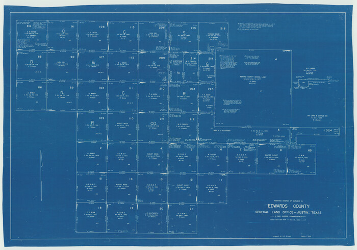
Edwards County Working Sketch 63

Print $20.00
- Digital $50.00
Edwards County Working Sketch 63
1955
Size 32.5 x 46.4 inches
Map/Doc 68939
Pecos County Rolled Sketch 14
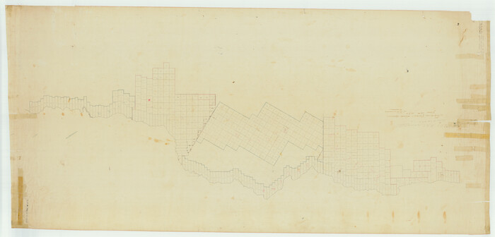

Print $40.00
- Digital $50.00
Pecos County Rolled Sketch 14
Size 39.5 x 82.3 inches
Map/Doc 75942
Map of the United States engraved to illustrate Mitchell's school and family geography (Inset: Map of the Gold Region of California)
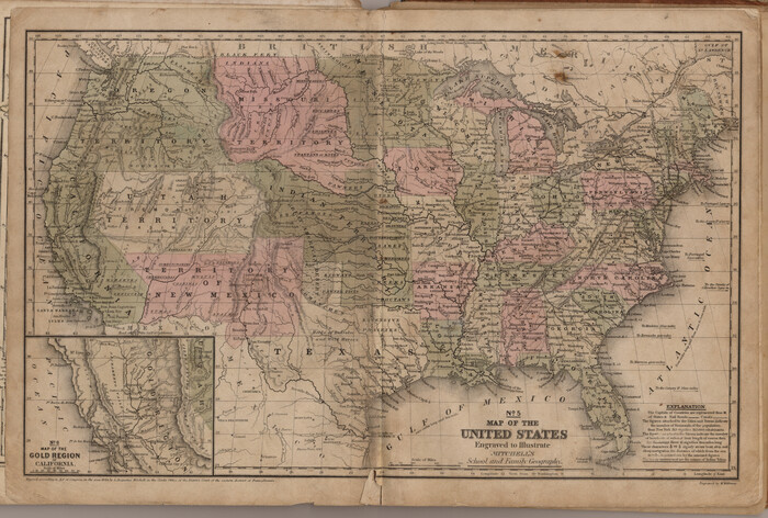

Print $20.00
- Digital $50.00
Map of the United States engraved to illustrate Mitchell's school and family geography (Inset: Map of the Gold Region of California)
1849
Size 11.8 x 17.5 inches
Map/Doc 93494
Upshur County Working Sketch 16, revised
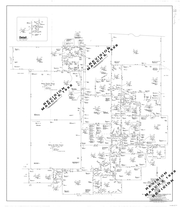

Print $20.00
- Digital $50.00
Upshur County Working Sketch 16, revised
1997
Size 42.9 x 37.2 inches
Map/Doc 69574
Callahan County Working Sketch 14
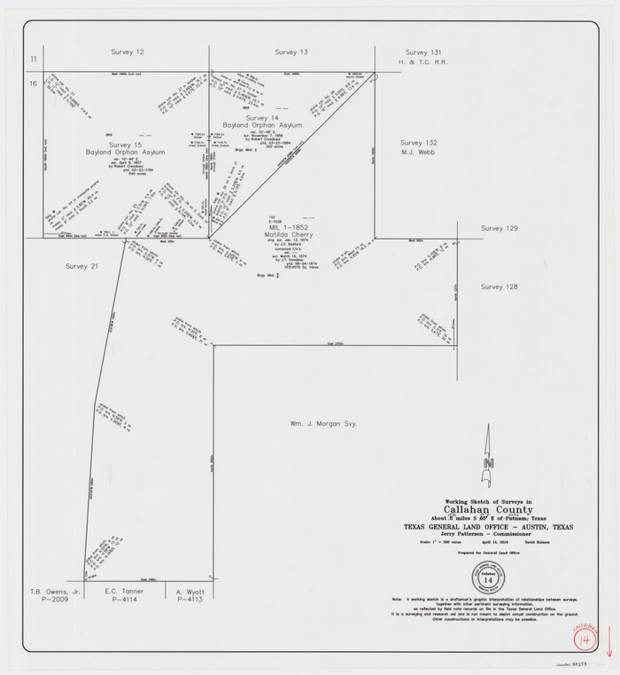

Print $20.00
- Digital $50.00
Callahan County Working Sketch 14
2010
Size 25.8 x 23.7 inches
Map/Doc 89273
Jones County Rolled Sketch 1

Print $20.00
- Digital $50.00
Jones County Rolled Sketch 1
1957
Size 17.7 x 28.1 inches
Map/Doc 6451
![91501, [Portion of Motley County], Twichell Survey Records](https://historictexasmaps.com/wmedia_w1800h1800/maps/91501-1.tif.jpg)

