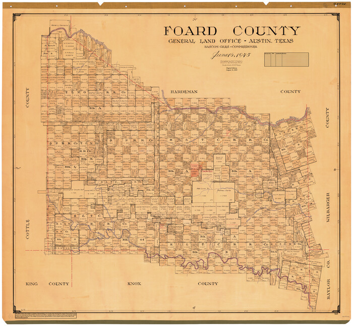
[Leagues 464-467]
185-18
-
Map/Doc
91555
-
Collection
Twichell Survey Records
-
Counties
Parmer
-
Height x Width
19.4 x 15.1 inches
49.3 x 38.4 cm
Part of: Twichell Survey Records
[Public School Land Blocks B1 and B7]
![91974, [Public School Land Blocks B1 and B7], Twichell Survey Records](https://historictexasmaps.com/wmedia_w700/maps/91974-1.tif.jpg)
![91974, [Public School Land Blocks B1 and B7], Twichell Survey Records](https://historictexasmaps.com/wmedia_w700/maps/91974-1.tif.jpg)
Print $20.00
- Digital $50.00
[Public School Land Blocks B1 and B7]
Size 22.9 x 14.8 inches
Map/Doc 91974
[Sketch of Blocks 4X, E, T, C42, and Y with Double Lake Corner tie to Rhoads Fisher Corners]
![91940, [Sketch of Blocks 4X, E, T, C42, and Y with Double Lake Corner tie to Rhoads Fisher Corners], Twichell Survey Records](https://historictexasmaps.com/wmedia_w700/maps/91940-2.tif.jpg)
![91940, [Sketch of Blocks 4X, E, T, C42, and Y with Double Lake Corner tie to Rhoads Fisher Corners], Twichell Survey Records](https://historictexasmaps.com/wmedia_w700/maps/91940-2.tif.jpg)
Print $20.00
- Digital $50.00
[Sketch of Blocks 4X, E, T, C42, and Y with Double Lake Corner tie to Rhoads Fisher Corners]
Size 34.0 x 11.5 inches
Map/Doc 91940
Bravo Deed, Instrument 24, Tract A and Tract B
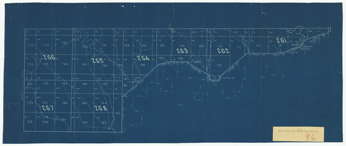

Print $20.00
- Digital $50.00
Bravo Deed, Instrument 24, Tract A and Tract B
Size 33.4 x 14.3 inches
Map/Doc 91434
Map of Edwards County, Texas
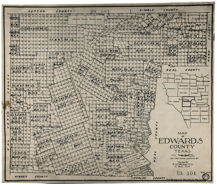

Print $20.00
- Digital $50.00
Map of Edwards County, Texas
Size 21.5 x 18.2 inches
Map/Doc 92635
[Sketch in Crosby County]
![89759, [Sketch in Crosby County], Twichell Survey Records](https://historictexasmaps.com/wmedia_w700/maps/89759-1.tif.jpg)
![89759, [Sketch in Crosby County], Twichell Survey Records](https://historictexasmaps.com/wmedia_w700/maps/89759-1.tif.jpg)
Print $40.00
- Digital $50.00
[Sketch in Crosby County]
Size 54.6 x 46.5 inches
Map/Doc 89759
Map of North Alamosa Pasture
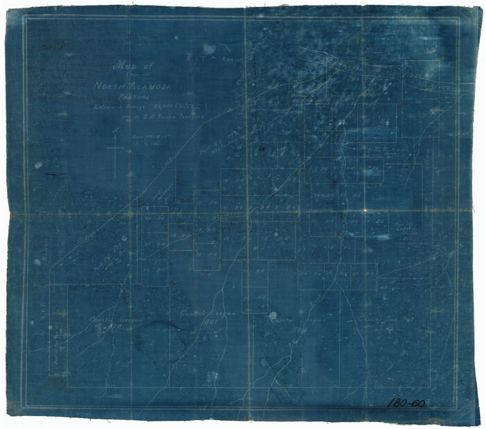

Print $20.00
- Digital $50.00
Map of North Alamosa Pasture
Size 17.7 x 15.7 inches
Map/Doc 91431
Tech Memorial Park, Inc. Section Q


Print $20.00
- Digital $50.00
Tech Memorial Park, Inc. Section Q
Size 34.8 x 21.2 inches
Map/Doc 92357
[Leagues 575, 578, 609, and 616, Blocks T2, T3, and K13]
![91053, [Leagues 575, 578, 609, and 616, Blocks T2, T3, and K13], Twichell Survey Records](https://historictexasmaps.com/wmedia_w700/maps/91053-1.tif.jpg)
![91053, [Leagues 575, 578, 609, and 616, Blocks T2, T3, and K13], Twichell Survey Records](https://historictexasmaps.com/wmedia_w700/maps/91053-1.tif.jpg)
Print $20.00
- Digital $50.00
[Leagues 575, 578, 609, and 616, Blocks T2, T3, and K13]
Size 20.5 x 20.0 inches
Map/Doc 91053
Lamb-Castro County Line


Print $20.00
- Digital $50.00
Lamb-Castro County Line
Size 45.3 x 15.5 inches
Map/Doc 91057
[Township 3 North, Blocks 31 and 32]
![91213, [Township 3 North, Blocks 31 and 32], Twichell Survey Records](https://historictexasmaps.com/wmedia_w700/maps/91213-1.tif.jpg)
![91213, [Township 3 North, Blocks 31 and 32], Twichell Survey Records](https://historictexasmaps.com/wmedia_w700/maps/91213-1.tif.jpg)
Print $3.00
- Digital $50.00
[Township 3 North, Blocks 31 and 32]
Size 12.5 x 10.8 inches
Map/Doc 91213
Gaines County
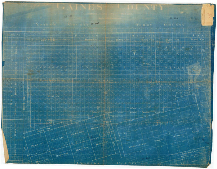

Print $40.00
- Digital $50.00
Gaines County
1902
Size 49.7 x 38.6 inches
Map/Doc 89863
Section H Tech Memorial Park, Inc.


Print $20.00
- Digital $50.00
Section H Tech Memorial Park, Inc.
Size 18.0 x 11.3 inches
Map/Doc 92302
You may also like
Lubbock County Rolled Sketch 3


Print $20.00
- Digital $50.00
Lubbock County Rolled Sketch 3
Size 25.0 x 38.7 inches
Map/Doc 9469
Polk County Sketch File 3
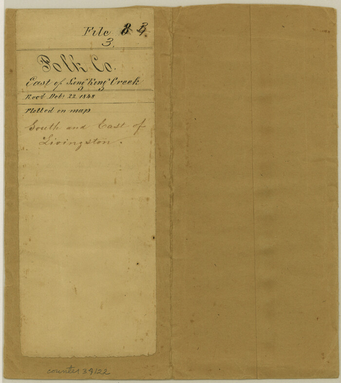

Print $10.00
- Digital $50.00
Polk County Sketch File 3
1848
Size 8.5 x 7.6 inches
Map/Doc 34122
Outer Continental Shelf Leasing Maps (Louisiana Offshore Operations)


Print $20.00
- Digital $50.00
Outer Continental Shelf Leasing Maps (Louisiana Offshore Operations)
1955
Size 17.2 x 9.4 inches
Map/Doc 76081
Flight Mission No. DQN-1K, Frame 108, Calhoun County
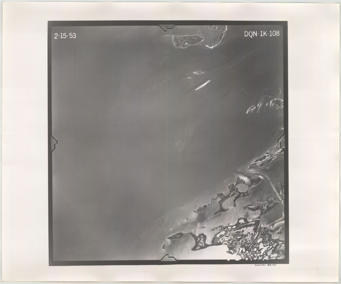

Print $20.00
- Digital $50.00
Flight Mission No. DQN-1K, Frame 108, Calhoun County
1953
Size 18.4 x 22.1 inches
Map/Doc 84175
Terrell County Working Sketch 8b


Print $20.00
- Digital $50.00
Terrell County Working Sketch 8b
1916
Size 15.1 x 18.6 inches
Map/Doc 69695
Presidio County Working Sketch 118


Print $20.00
- Digital $50.00
Presidio County Working Sketch 118
1983
Size 47.4 x 41.6 inches
Map/Doc 71795
Liberty County Rolled Sketch JP


Print $40.00
- Digital $50.00
Liberty County Rolled Sketch JP
Size 43.6 x 70.1 inches
Map/Doc 9566
Stonewall County Rolled Sketch A and B


Print $20.00
- Digital $50.00
Stonewall County Rolled Sketch A and B
1886
Size 17.8 x 45.3 inches
Map/Doc 9957
Bastrop County Working Sketch 11
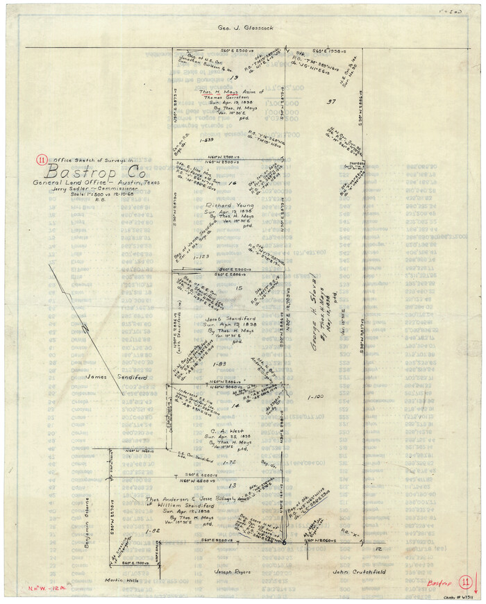

Print $20.00
- Digital $50.00
Bastrop County Working Sketch 11
1968
Size 31.2 x 25.1 inches
Map/Doc 67311
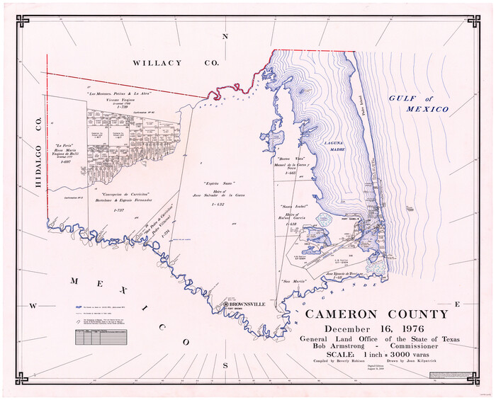
Cameron County

Print $20.00
- Digital $50.00
Cameron County
1976
Size 31.0 x 38.3 inches
Map/Doc 95447
[Atchison, Topeka & Santa Fe from Paisano to south of Plata]
![64713, [Atchison, Topeka & Santa Fe from Paisano to south of Plata], General Map Collection](https://historictexasmaps.com/wmedia_w700/maps/64713-1.tif.jpg)
![64713, [Atchison, Topeka & Santa Fe from Paisano to south of Plata], General Map Collection](https://historictexasmaps.com/wmedia_w700/maps/64713-1.tif.jpg)
Print $40.00
- Digital $50.00
[Atchison, Topeka & Santa Fe from Paisano to south of Plata]
Size 32.2 x 116.3 inches
Map/Doc 64713
![91555, [Leagues 464-467], Twichell Survey Records](https://historictexasmaps.com/wmedia_w1800h1800/maps/91555-1.tif.jpg)
