[Section 34, Block 194 G. C. & S. F.]
186-61
-
Map/Doc
91671
-
Collection
Twichell Survey Records
-
Object Dates
4/27/1927 (Creation Date)
-
Counties
Pecos
-
Height x Width
7.6 x 5.9 inches
19.3 x 15.0 cm
Part of: Twichell Survey Records
[Block D3, Block A, Block O]
![92750, [Block D3, Block A, Block O], Twichell Survey Records](https://historictexasmaps.com/wmedia_w700/maps/92750-1.tif.jpg)
![92750, [Block D3, Block A, Block O], Twichell Survey Records](https://historictexasmaps.com/wmedia_w700/maps/92750-1.tif.jpg)
Print $20.00
- Digital $50.00
[Block D3, Block A, Block O]
Size 25.2 x 13.1 inches
Map/Doc 92750
[Sketch of Part of B. S. & F. Block 9]
![93090, [Sketch of Part of B. S. & F. Block 9], Twichell Survey Records](https://historictexasmaps.com/wmedia_w700/maps/93090-1.tif.jpg)
![93090, [Sketch of Part of B. S. & F. Block 9], Twichell Survey Records](https://historictexasmaps.com/wmedia_w700/maps/93090-1.tif.jpg)
Print $2.00
- Digital $50.00
[Sketch of Part of B. S. & F. Block 9]
Size 7.6 x 7.4 inches
Map/Doc 93090
[Sketch showing various surveys south and along Holiday Creek]
![90164, [Sketch showing various surveys south and along Holiday Creek], Twichell Survey Records](https://historictexasmaps.com/wmedia_w700/maps/90164-1.tif.jpg)
![90164, [Sketch showing various surveys south and along Holiday Creek], Twichell Survey Records](https://historictexasmaps.com/wmedia_w700/maps/90164-1.tif.jpg)
Print $20.00
- Digital $50.00
[Sketch showing various surveys south and along Holiday Creek]
Size 40.6 x 35.1 inches
Map/Doc 90164
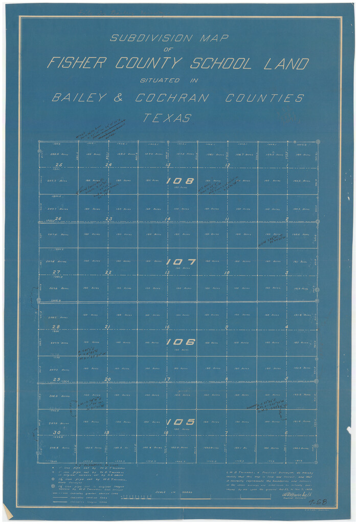
Subdivision Map of Fisher County School Land situated in Bailey and Cochran Counties, Texas

Print $20.00
- Digital $50.00
Subdivision Map of Fisher County School Land situated in Bailey and Cochran Counties, Texas
1924
Size 20.0 x 29.6 inches
Map/Doc 90243
[Northwest Garza Co., E. J. Powell surveys and vicinity]
![90852, [Northwest Garza Co., E. J. Powell surveys and vicinity], Twichell Survey Records](https://historictexasmaps.com/wmedia_w700/maps/90852-2.tif.jpg)
![90852, [Northwest Garza Co., E. J. Powell surveys and vicinity], Twichell Survey Records](https://historictexasmaps.com/wmedia_w700/maps/90852-2.tif.jpg)
Print $2.00
- Digital $50.00
[Northwest Garza Co., E. J. Powell surveys and vicinity]
Size 8.9 x 14.2 inches
Map/Doc 90852
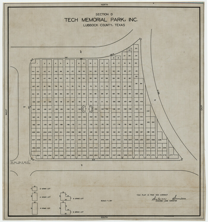
Section D Tech Memorial Park, Inc.

Print $20.00
- Digital $50.00
Section D Tech Memorial Park, Inc.
Size 19.0 x 20.5 inches
Map/Doc 92300
[Sketch showing surveys in Blocks 70, 71 and 72 surrounding the town of Toyah]
![91835, [Sketch showing surveys in Blocks 70, 71 and 72 surrounding the town of Toyah], Twichell Survey Records](https://historictexasmaps.com/wmedia_w700/maps/91835-1.tif.jpg)
![91835, [Sketch showing surveys in Blocks 70, 71 and 72 surrounding the town of Toyah], Twichell Survey Records](https://historictexasmaps.com/wmedia_w700/maps/91835-1.tif.jpg)
Print $20.00
- Digital $50.00
[Sketch showing surveys in Blocks 70, 71 and 72 surrounding the town of Toyah]
Size 44.1 x 24.0 inches
Map/Doc 91835
[Strip map showing F. W. & D. C. RR. line from New Mexico border to Dallam-Hartley County Line]
![93147, [Strip map showing F. W. & D. C. RR. line from New Mexico border to Dallam-Hartley County Line], Twichell Survey Records](https://historictexasmaps.com/wmedia_w700/maps/93147-1.tif.jpg)
![93147, [Strip map showing F. W. & D. C. RR. line from New Mexico border to Dallam-Hartley County Line], Twichell Survey Records](https://historictexasmaps.com/wmedia_w700/maps/93147-1.tif.jpg)
Print $40.00
- Digital $50.00
[Strip map showing F. W. & D. C. RR. line from New Mexico border to Dallam-Hartley County Line]
Size 105.5 x 20.9 inches
Map/Doc 93147
Cochran County Sketch [showing lines run by C. A. Tubbs]
![90443, Cochran County Sketch [showing lines run by C. A. Tubbs], Twichell Survey Records](https://historictexasmaps.com/wmedia_w700/maps/90443-1.tif.jpg)
![90443, Cochran County Sketch [showing lines run by C. A. Tubbs], Twichell Survey Records](https://historictexasmaps.com/wmedia_w700/maps/90443-1.tif.jpg)
Print $20.00
- Digital $50.00
Cochran County Sketch [showing lines run by C. A. Tubbs]
Size 9.6 x 23.5 inches
Map/Doc 90443
[Sketch showing west part of county]
![91712, [Sketch showing west part of county], Twichell Survey Records](https://historictexasmaps.com/wmedia_w700/maps/91712-1.tif.jpg)
![91712, [Sketch showing west part of county], Twichell Survey Records](https://historictexasmaps.com/wmedia_w700/maps/91712-1.tif.jpg)
Print $3.00
- Digital $50.00
[Sketch showing west part of county]
1907
Size 16.4 x 11.1 inches
Map/Doc 91712
[West line of H. & T. C. Block 97]
![90210, [West line of H. & T. C. Block 97], Twichell Survey Records](https://historictexasmaps.com/wmedia_w700/maps/90210-1.tif.jpg)
![90210, [West line of H. & T. C. Block 97], Twichell Survey Records](https://historictexasmaps.com/wmedia_w700/maps/90210-1.tif.jpg)
Print $20.00
- Digital $50.00
[West line of H. & T. C. Block 97]
Size 19.7 x 35.1 inches
Map/Doc 90210
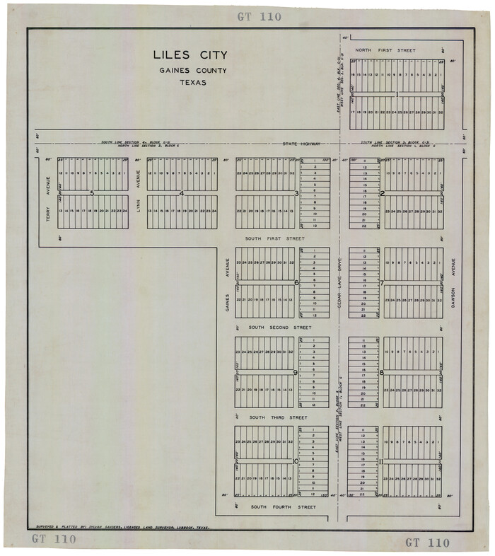
Liles City, Gaines County, Texas

Print $20.00
- Digital $50.00
Liles City, Gaines County, Texas
Size 21.5 x 23.9 inches
Map/Doc 92683
You may also like
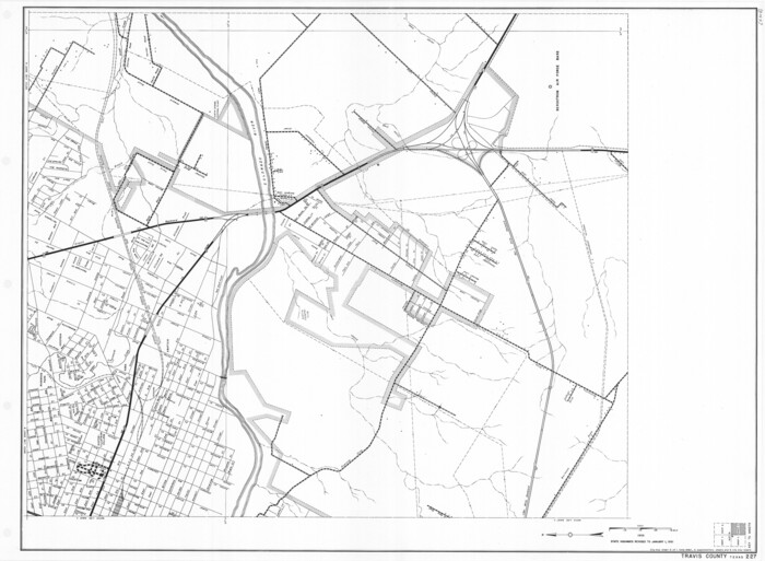
General Highway Map. Detail of Cities and Towns in Travis County, Texas. City Map, Austin and vicinity, Travis County, Texas

Print $20.00
General Highway Map. Detail of Cities and Towns in Travis County, Texas. City Map, Austin and vicinity, Travis County, Texas
1961
Size 18.1 x 24.7 inches
Map/Doc 79687
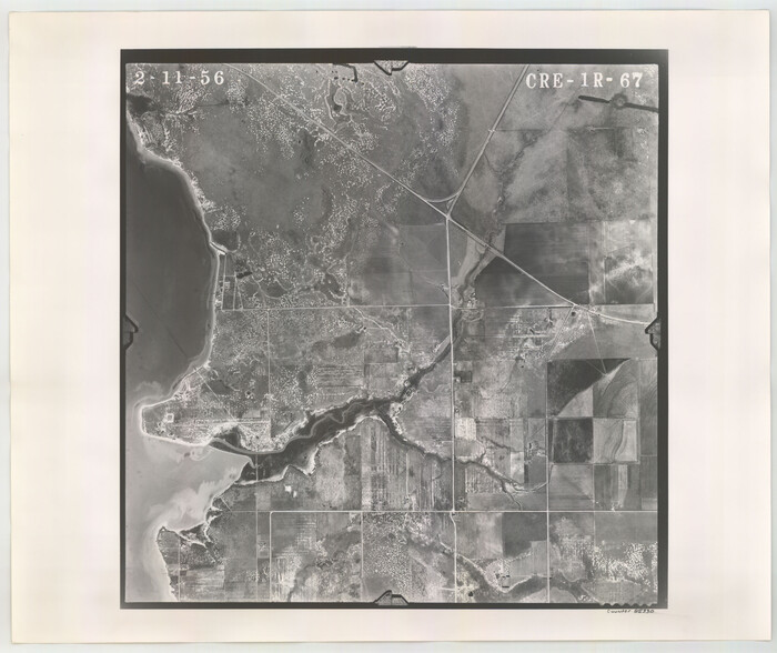
Flight Mission No. CRE-1R, Frame 67, Jackson County

Print $20.00
- Digital $50.00
Flight Mission No. CRE-1R, Frame 67, Jackson County
1956
Size 18.7 x 22.3 inches
Map/Doc 85330
Jefferson County NRC Article 33.136 Sketch 8


Print $20.00
- Digital $50.00
Jefferson County NRC Article 33.136 Sketch 8
2007
Size 20.1 x 18.7 inches
Map/Doc 87503
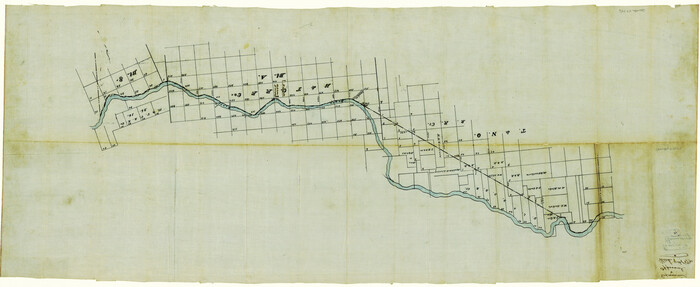
Foard County Boundary File 5a

Print $40.00
- Digital $50.00
Foard County Boundary File 5a
Size 18.2 x 44.4 inches
Map/Doc 53546
Houston Co[unty]
![78409, Houston Co[unty], General Map Collection](https://historictexasmaps.com/wmedia_w700/maps/78409.tif.jpg)
![78409, Houston Co[unty], General Map Collection](https://historictexasmaps.com/wmedia_w700/maps/78409.tif.jpg)
Print $20.00
- Digital $50.00
Houston Co[unty]
1896
Size 47.4 x 47.7 inches
Map/Doc 78409
List of County School Lands


Print $20.00
- Digital $50.00
List of County School Lands
Size 18.4 x 23.4 inches
Map/Doc 65798
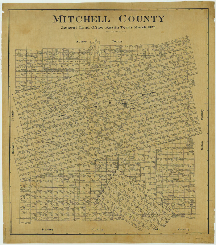
Mitchell County

Print $20.00
- Digital $50.00
Mitchell County
1922
Size 43.4 x 38.2 inches
Map/Doc 66936
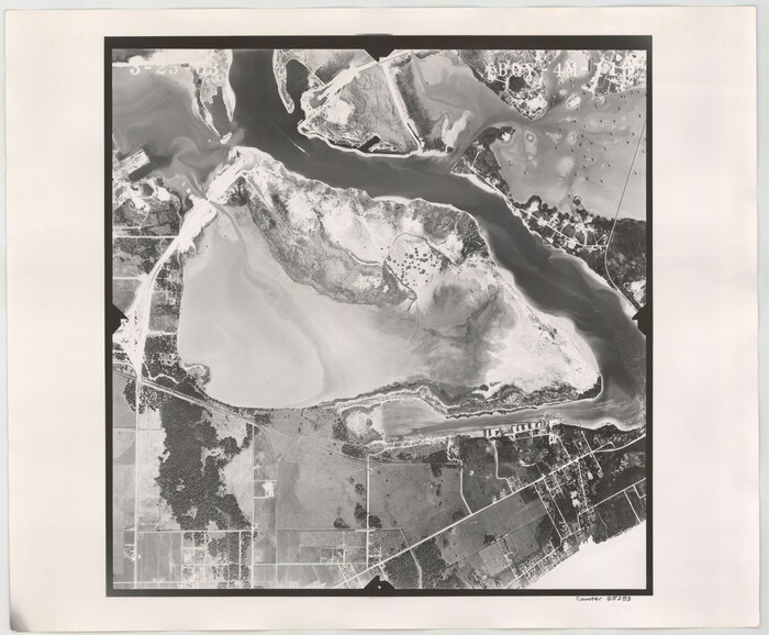
Flight Mission No. BQY-4M, Frame 116, Harris County

Print $20.00
- Digital $50.00
Flight Mission No. BQY-4M, Frame 116, Harris County
1953
Size 18.5 x 22.4 inches
Map/Doc 85283
Carson County


Print $20.00
- Digital $50.00
Carson County
1932
Size 43.4 x 38.8 inches
Map/Doc 95449
[Blks A, B and C, and Irion, Floyd, Sutton and Lubbock County School Land Leagues]
![90202, [Blks A, B and C, and Irion, Floyd, Sutton and Lubbock County School Land Leagues], Twichell Survey Records](https://historictexasmaps.com/wmedia_w700/maps/90202-1.tif.jpg)
![90202, [Blks A, B and C, and Irion, Floyd, Sutton and Lubbock County School Land Leagues], Twichell Survey Records](https://historictexasmaps.com/wmedia_w700/maps/90202-1.tif.jpg)
Print $20.00
- Digital $50.00
[Blks A, B and C, and Irion, Floyd, Sutton and Lubbock County School Land Leagues]
Size 15.6 x 19.2 inches
Map/Doc 90202
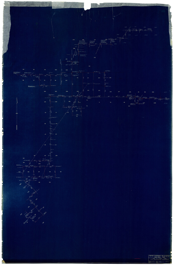
Duval County Rolled Sketch HO and R

Print $40.00
- Digital $50.00
Duval County Rolled Sketch HO and R
1933
Size 65.8 x 43.1 inches
Map/Doc 8807
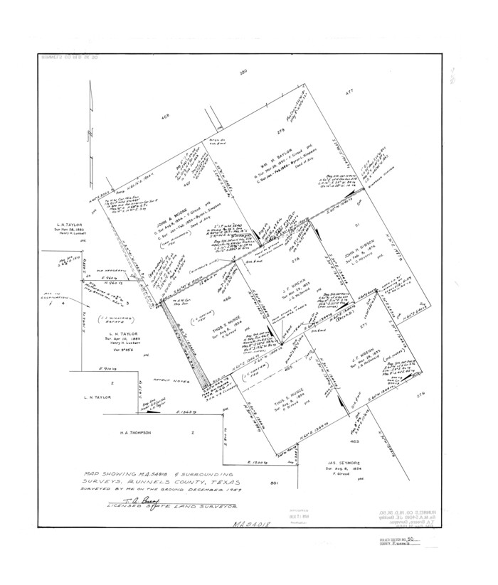
Runnels County Rolled Sketch 50

Print $20.00
- Digital $50.00
Runnels County Rolled Sketch 50
Size 31.3 x 26.7 inches
Map/Doc 7535
![91671, [Section 34, Block 194 G. C. & S. F.], Twichell Survey Records](https://historictexasmaps.com/wmedia_w1800h1800/maps/91671-1.tif.jpg)