[Strip map showing F. W. & D. C. RR. line from New Mexico border to Dallam-Hartley County Line]
56-16
-
Map/Doc
93147
-
Collection
Twichell Survey Records
-
Counties
Dallam
-
Height x Width
105.5 x 20.9 inches
268.0 x 53.1 cm
Part of: Twichell Survey Records
Green & Lumsden's Ranch


Print $20.00
- Digital $50.00
Green & Lumsden's Ranch
Size 28.9 x 25.1 inches
Map/Doc 92946
Jarrott Ranch Yeso, New Mexico


Print $20.00
- Digital $50.00
Jarrott Ranch Yeso, New Mexico
Size 26.3 x 19.8 inches
Map/Doc 92423
[Area around J. E. Arnold survey]
![91885, [Area around J. E. Arnold survey], Twichell Survey Records](https://historictexasmaps.com/wmedia_w700/maps/91885-1.tif.jpg)
![91885, [Area around J. E. Arnold survey], Twichell Survey Records](https://historictexasmaps.com/wmedia_w700/maps/91885-1.tif.jpg)
Print $2.00
- Digital $50.00
[Area around J. E. Arnold survey]
Size 15.3 x 8.2 inches
Map/Doc 91885
Plat showing Deed Locations in East Half Section 2, Block E


Print $20.00
- Digital $50.00
Plat showing Deed Locations in East Half Section 2, Block E
Size 16.2 x 30.1 inches
Map/Doc 92736
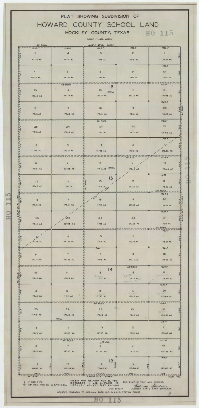
Plat Showing Subdivision of Howard County School Land Hockley County, Texas

Print $20.00
- Digital $50.00
Plat Showing Subdivision of Howard County School Land Hockley County, Texas
1947
Size 13.9 x 28.1 inches
Map/Doc 92256
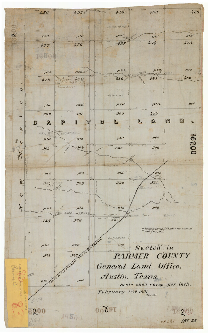
Sketch in Parmer County

Print $20.00
- Digital $50.00
Sketch in Parmer County
1901
Size 15.1 x 23.8 inches
Map/Doc 91644
[Blocks T1, T2, T3, and Vicinity]
![90982, [Blocks T1, T2, T3, and Vicinity], Twichell Survey Records](https://historictexasmaps.com/wmedia_w700/maps/90982-1.tif.jpg)
![90982, [Blocks T1, T2, T3, and Vicinity], Twichell Survey Records](https://historictexasmaps.com/wmedia_w700/maps/90982-1.tif.jpg)
Print $20.00
- Digital $50.00
[Blocks T1, T2, T3, and Vicinity]
Size 30.6 x 32.7 inches
Map/Doc 90982
[S51-58, 27, 30, 303-306, 221-224, 562, 564]
![92185, [S51-58, 27, 30, 303-306, 221-224, 562, 564], Twichell Survey Records](https://historictexasmaps.com/wmedia_w700/maps/92185-1.tif.jpg)
![92185, [S51-58, 27, 30, 303-306, 221-224, 562, 564], Twichell Survey Records](https://historictexasmaps.com/wmedia_w700/maps/92185-1.tif.jpg)
Print $20.00
- Digital $50.00
[S51-58, 27, 30, 303-306, 221-224, 562, 564]
Size 31.1 x 15.6 inches
Map/Doc 92185
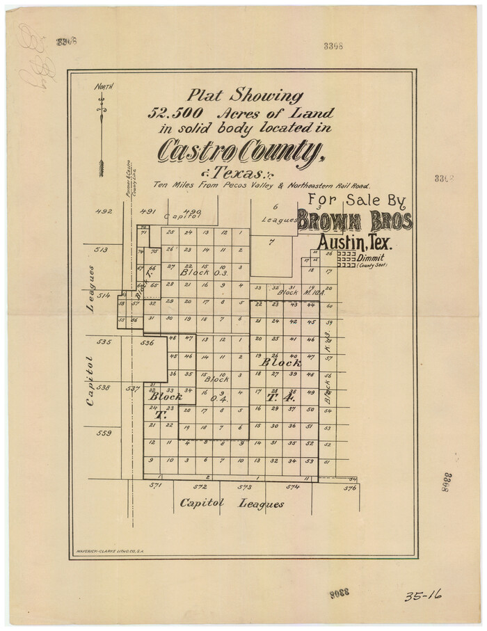
Plat showing 52,500 acres of land in solid body located in Castro County, Texas

Print $20.00
- Digital $50.00
Plat showing 52,500 acres of land in solid body located in Castro County, Texas
Size 13.4 x 17.6 inches
Map/Doc 90404
[Part of Block JK4 and A1]
![90784, [Part of Block JK4 and A1], Twichell Survey Records](https://historictexasmaps.com/wmedia_w700/maps/90784-1.tif.jpg)
![90784, [Part of Block JK4 and A1], Twichell Survey Records](https://historictexasmaps.com/wmedia_w700/maps/90784-1.tif.jpg)
Print $3.00
- Digital $50.00
[Part of Block JK4 and A1]
Size 17.0 x 11.2 inches
Map/Doc 90784
You may also like
The Peters Colony. July 26, 1842
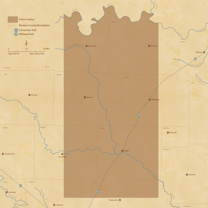

Print $20.00
The Peters Colony. July 26, 1842
2020
Size 21.7 x 21.7 inches
Map/Doc 96364
[Sketch N, showing Blocks C-10, C-14 through C-16]
![91772, [Sketch N, showing Blocks C-10, C-14 through C-16], Twichell Survey Records](https://historictexasmaps.com/wmedia_w700/maps/91772-1.tif.jpg)
![91772, [Sketch N, showing Blocks C-10, C-14 through C-16], Twichell Survey Records](https://historictexasmaps.com/wmedia_w700/maps/91772-1.tif.jpg)
Print $20.00
- Digital $50.00
[Sketch N, showing Blocks C-10, C-14 through C-16]
Size 38.6 x 22.1 inches
Map/Doc 91772
Pecos County Sketch File 78


Print $6.00
- Digital $50.00
Pecos County Sketch File 78
1943
Size 11.1 x 8.8 inches
Map/Doc 33911
Liberty County Working Sketch 42
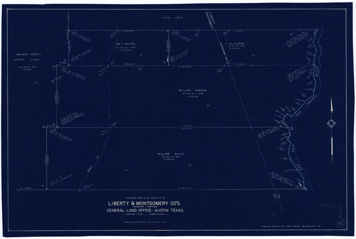

Print $20.00
- Digital $50.00
Liberty County Working Sketch 42
1953
Size 24.0 x 35.8 inches
Map/Doc 70501
Blanco County Sketch File 30


Print $5.00
- Digital $50.00
Blanco County Sketch File 30
Size 9.1 x 10.6 inches
Map/Doc 14627
Borden County Working Sketch 9
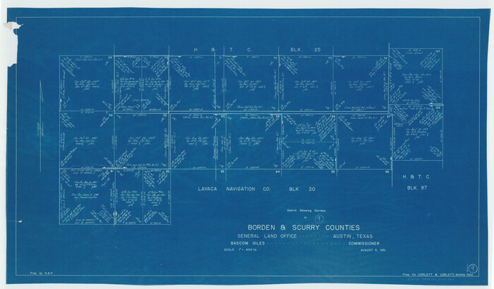

Print $20.00
- Digital $50.00
Borden County Working Sketch 9
1951
Size 24.8 x 42.3 inches
Map/Doc 67469
Clay County Sketch File 14


Print $40.00
- Digital $50.00
Clay County Sketch File 14
1873
Size 16.5 x 13.8 inches
Map/Doc 18417
Sectional map of Central and Eastern Texas traversed by the Missouri, Kansas & Texas Railway, showing the crops adapted to each section, with the elevation and average annual rainfall


Print $20.00
- Digital $50.00
Sectional map of Central and Eastern Texas traversed by the Missouri, Kansas & Texas Railway, showing the crops adapted to each section, with the elevation and average annual rainfall
1902
Size 19.7 x 16.2 inches
Map/Doc 95812
Parmer County Sketch File 1


Print $28.00
- Digital $50.00
Parmer County Sketch File 1
1902
Size 10.6 x 8.2 inches
Map/Doc 33621
Pecos County Rolled Sketch 65


Print $20.00
- Digital $50.00
Pecos County Rolled Sketch 65
1928
Size 37.9 x 33.8 inches
Map/Doc 9699
Current Miscellaneous File 77
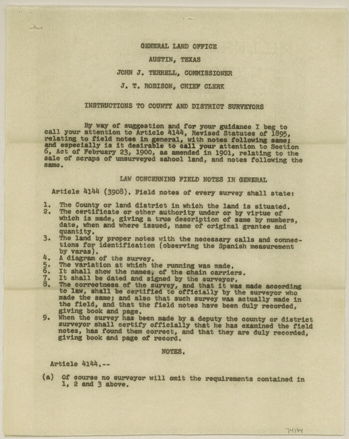

Print $10.00
- Digital $50.00
Current Miscellaneous File 77
1900
Size 11.0 x 8.8 inches
Map/Doc 74194
![93147, [Strip map showing F. W. & D. C. RR. line from New Mexico border to Dallam-Hartley County Line], Twichell Survey Records](https://historictexasmaps.com/wmedia_w1800h1800/maps/93147-1.tif.jpg)
![93063, [Block B11], Twichell Survey Records](https://historictexasmaps.com/wmedia_w700/maps/93063-1.tif.jpg)
