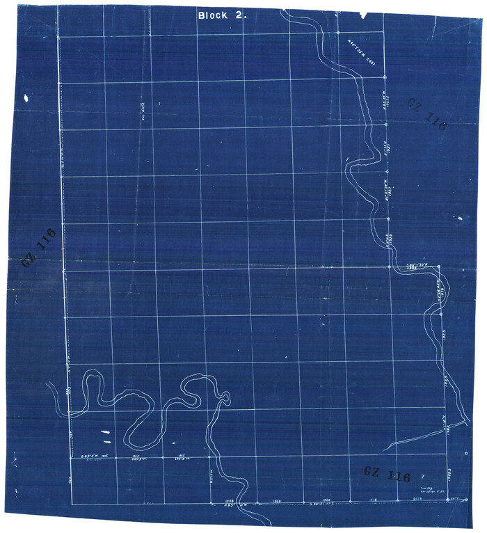
[Sketch showing Block AX, North part of Block G, Block S and part of Block D]
251-24
-
Map/Doc
92018
-
Collection
Twichell Survey Records
-
Counties
Yoakum Gaines
-
Height x Width
33.2 x 44.1 inches
84.3 x 112.0 cm
Part of: Twichell Survey Records
Wheelock Second Addition


Print $20.00
- Digital $50.00
Wheelock Second Addition
1952
Size 9.3 x 24.3 inches
Map/Doc 92308
[Blocks H and C41]
![92623, [Blocks H and C41], Twichell Survey Records](https://historictexasmaps.com/wmedia_w700/maps/92623-1.tif.jpg)
![92623, [Blocks H and C41], Twichell Survey Records](https://historictexasmaps.com/wmedia_w700/maps/92623-1.tif.jpg)
Print $20.00
- Digital $50.00
[Blocks H and C41]
1951
Size 24.6 x 18.8 inches
Map/Doc 92623
[Capitol Leagues 633, 634, 635, 636, and 637]
![90998, [Capitol Leagues 633, 634, 635, 636, and 637], Twichell Survey Records](https://historictexasmaps.com/wmedia_w700/maps/90998-1.tif.jpg)
![90998, [Capitol Leagues 633, 634, 635, 636, and 637], Twichell Survey Records](https://historictexasmaps.com/wmedia_w700/maps/90998-1.tif.jpg)
Print $20.00
- Digital $50.00
[Capitol Leagues 633, 634, 635, 636, and 637]
Size 23.2 x 10.2 inches
Map/Doc 90998
Dr. S. C. Arnett Farm Part Section 5, Block E2


Print $20.00
- Digital $50.00
Dr. S. C. Arnett Farm Part Section 5, Block E2
Size 12.7 x 15.8 inches
Map/Doc 92296
East Line of Lipscomb County


Print $20.00
- Digital $50.00
East Line of Lipscomb County
Size 8.9 x 21.8 inches
Map/Doc 91318
Plat showing Deed Locations in East Half Section 2, Block E


Print $20.00
- Digital $50.00
Plat showing Deed Locations in East Half Section 2, Block E
Size 16.2 x 30.1 inches
Map/Doc 92736
[Public School Land Blocks B1 and B7]
![91974, [Public School Land Blocks B1 and B7], Twichell Survey Records](https://historictexasmaps.com/wmedia_w700/maps/91974-1.tif.jpg)
![91974, [Public School Land Blocks B1 and B7], Twichell Survey Records](https://historictexasmaps.com/wmedia_w700/maps/91974-1.tif.jpg)
Print $20.00
- Digital $50.00
[Public School Land Blocks B1 and B7]
Size 22.9 x 14.8 inches
Map/Doc 91974
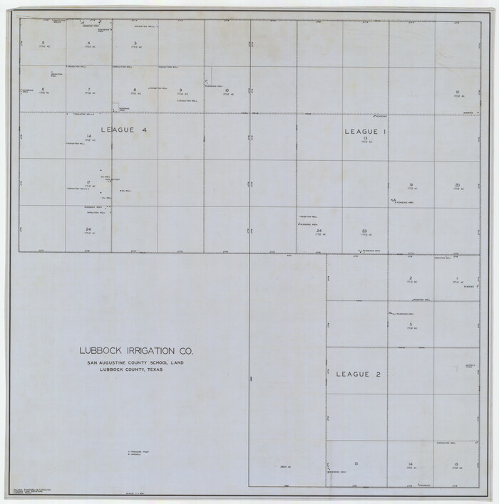
Lubbock Irrigation Co. San Augustine County School Land Lubbock County, Texas

Print $20.00
- Digital $50.00
Lubbock Irrigation Co. San Augustine County School Land Lubbock County, Texas
Size 37.5 x 37.9 inches
Map/Doc 89894
[Section 2, Block 5, Dawson County, Texas]
![92617, [Section 2, Block 5, Dawson County, Texas], Twichell Survey Records](https://historictexasmaps.com/wmedia_w700/maps/92617-1.tif.jpg)
![92617, [Section 2, Block 5, Dawson County, Texas], Twichell Survey Records](https://historictexasmaps.com/wmedia_w700/maps/92617-1.tif.jpg)
Print $2.00
- Digital $50.00
[Section 2, Block 5, Dawson County, Texas]
Size 9.2 x 12.3 inches
Map/Doc 92617
[Map showing Sanborn's Addition and Denver Heights Addition]
![91829, [Map showing Sanborn's Addition and Denver Heights Addition], Twichell Survey Records](https://historictexasmaps.com/wmedia_w700/maps/91829-1.tif.jpg)
![91829, [Map showing Sanborn's Addition and Denver Heights Addition], Twichell Survey Records](https://historictexasmaps.com/wmedia_w700/maps/91829-1.tif.jpg)
Print $20.00
- Digital $50.00
[Map showing Sanborn's Addition and Denver Heights Addition]
Size 22.5 x 38.9 inches
Map/Doc 91829
You may also like
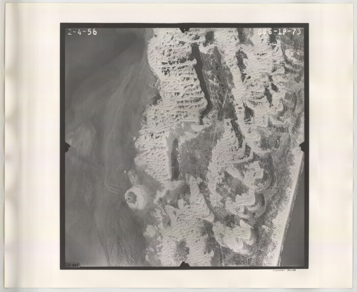
Flight Mission No. CUG-1P, Frame 73, Kleberg County

Print $20.00
- Digital $50.00
Flight Mission No. CUG-1P, Frame 73, Kleberg County
1956
Size 18.4 x 22.5 inches
Map/Doc 86138
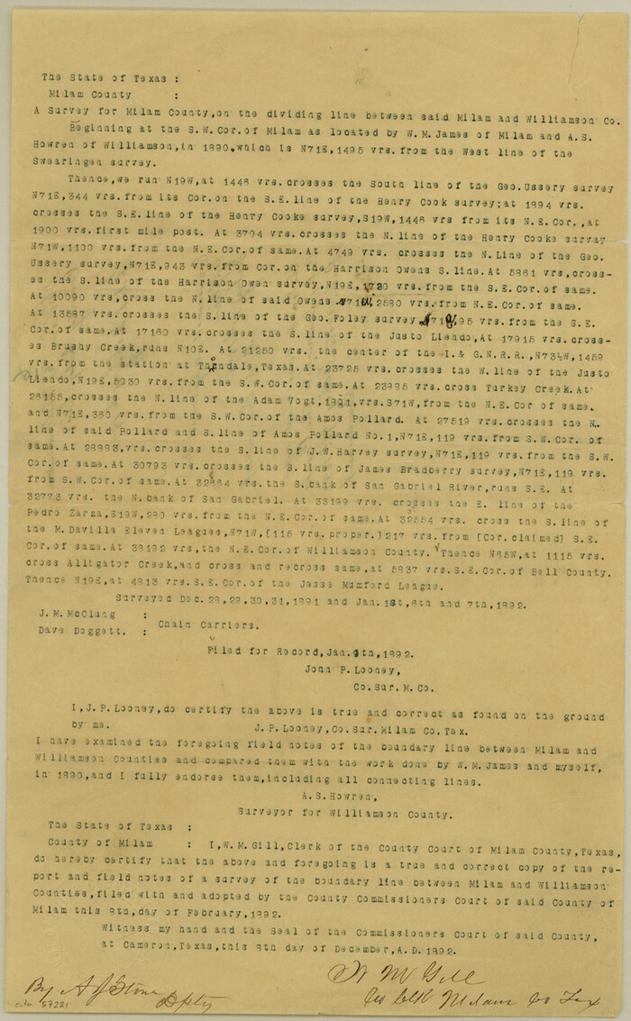
Milam County Boundary File 4

Print $4.00
- Digital $50.00
Milam County Boundary File 4
Size 13.3 x 8.2 inches
Map/Doc 57221
Hopkins County


Print $20.00
- Digital $50.00
Hopkins County
1888
Size 36.4 x 36.6 inches
Map/Doc 448
Flight Mission No. DQN-2K, Frame 42, Calhoun County


Print $20.00
- Digital $50.00
Flight Mission No. DQN-2K, Frame 42, Calhoun County
1953
Size 18.5 x 22.2 inches
Map/Doc 84247
Orange County Sketch File 42
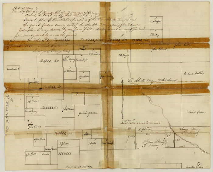

Print $40.00
- Digital $50.00
Orange County Sketch File 42
1873
Size 12.8 x 15.8 inches
Map/Doc 33383
Kendall County Boundary File 1


Print $6.00
- Digital $50.00
Kendall County Boundary File 1
Size 14.2 x 8.7 inches
Map/Doc 55743
Flight Mission No. DAG-16K, Frame 69, Matagorda County

Print $20.00
- Digital $50.00
Flight Mission No. DAG-16K, Frame 69, Matagorda County
1952
Size 18.4 x 22.2 inches
Map/Doc 86315
Fractional Township No. 9 South Range No. 8 East of the Indian Meridian, Indian Territory
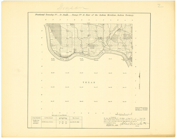

Print $20.00
- Digital $50.00
Fractional Township No. 9 South Range No. 8 East of the Indian Meridian, Indian Territory
1898
Size 19.2 x 24.4 inches
Map/Doc 75215
Mud Creek in Nacogdoches District
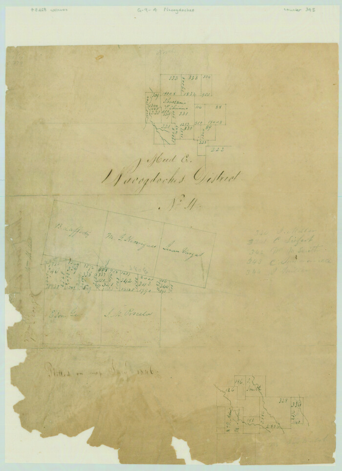

Print $2.00
- Digital $50.00
Mud Creek in Nacogdoches District
1846
Size 10.7 x 7.8 inches
Map/Doc 345
Flight Mission No. DAG-19K, Frame 63, Matagorda County
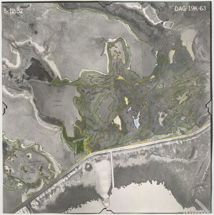

Print $20.00
- Digital $50.00
Flight Mission No. DAG-19K, Frame 63, Matagorda County
1952
Size 16.1 x 16.1 inches
Map/Doc 86390
Cherokee County Sketch File 23
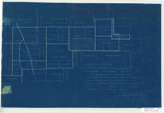

Print $20.00
- Digital $50.00
Cherokee County Sketch File 23
1922
Size 12.8 x 18.5 inches
Map/Doc 11073
Atlas B, 1-137, Burnet's Colony


Atlas B, 1-137, Burnet's Colony
Size 13.2 x 18.1 inches
Map/Doc 94537
![92018, [Sketch showing Block AX, North part of Block G, Block S and part of Block D], Twichell Survey Records](https://historictexasmaps.com/wmedia_w1800h1800/maps/92018-1.tif.jpg)

