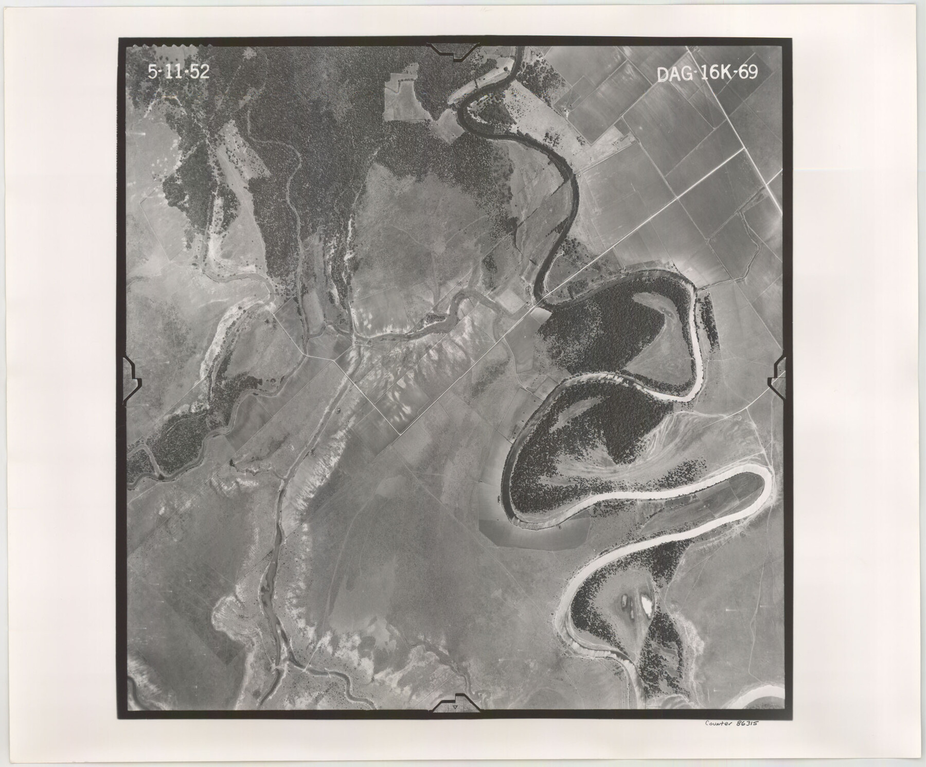
Flight Mission No. DAG-16K, Frame 69, Matagorda County
DAG-16K-69
- 
                          Map/Doc86315
- 
                            CollectionGeneral Map Collection
- 
                            Object Dates1952/5/11 (Creation Date)
- 
                            People and OrganizationsU. S. Department of Agriculture (Publisher)
- 
                            CountiesMatagorda
- 
                            SubjectsAerial Photograph
- 
                            Height x Width18.4 x 22.2 inches46.7 x 56.4 cm
- 
                            CommentsFlown by Aero Exploration Company of Tulsa, Oklahoma.
Part of: General Map Collection
            Lynn County Sketch File A1


                                            Print $12.00                    
                                             -                         Digital $50.00                                    
                Lynn County Sketch File A1
1903
Size 12.7 x 8.2 inches
                                Map/Doc 30464
            
            Orange County Rolled Sketch CR


                                            Print $20.00                    
                                             -                         Digital $50.00                                    
                Orange County Rolled Sketch CR
Size 39.4 x 31.5 inches
                                Map/Doc 9653
            
            St. L. S.-W. Ry. of Texas, Map of Lufkin Branch in Smith County, Texas


                                            Print $40.00                    
                                             -                         Digital $50.00                                    
                St. L. S.-W. Ry. of Texas, Map of Lufkin Branch in Smith County, Texas
1912
Size 24.3 x 122.9 inches
                                Map/Doc 64692
            
            San Patricio County


                                            Print $20.00                    
                                             -                         Digital $50.00                                    
                San Patricio County
1939
Size 31.6 x 41.6 inches
                                Map/Doc 77416
            
            Maverick County Sketch File 10a


                                            Print $19.00                    
                                             -                         Digital $50.00                                    
                Maverick County Sketch File 10a
1878
Size 15.4 x 10.0 inches
                                Map/Doc 31083
            
            Flight Mission No. BRE-1P, Frame 151, Nueces County


                                            Print $20.00                    
                                             -                         Digital $50.00                                    
                Flight Mission No. BRE-1P, Frame 151, Nueces County
1956
Size 18.7 x 22.5 inches
                                Map/Doc 86711
            
            Bowie County Working Sketch 3


                                            Print $20.00                    
                                             -                         Digital $50.00                                    
                Bowie County Working Sketch 3
1913
Size 25.5 x 17.1 inches
                                Map/Doc 67407
            
            Duval County Boundary File 1e


                                            Print $40.00                    
                                             -                         Digital $50.00                                    
                Duval County Boundary File 1e
Size 6.1 x 23.1 inches
                                Map/Doc 52701
            
            Sabine County Working Sketch 8


                                            Print $20.00                    
                                             -                         Digital $50.00                                    
                Sabine County Working Sketch 8
1923
Size 40.8 x 43.5 inches
                                Map/Doc 63679
            
            Kenedy County Rolled Sketch 6


                                            Print $20.00                    
                                             -                         Digital $50.00                                    
                Kenedy County Rolled Sketch 6
1911
Size 28.5 x 25.4 inches
                                Map/Doc 6463
            
            Liberty County Working Sketch 64


                                            Print $4.00                    
                                             -                         Digital $50.00                                    
                Liberty County Working Sketch 64
1970
Size 21.3 x 26.8 inches
                                Map/Doc 70524
            
            Medina County Working Sketch 5


                                            Print $20.00                    
                                             -                         Digital $50.00                                    
                Medina County Working Sketch 5
1949
Size 38.5 x 37.3 inches
                                Map/Doc 70920
            You may also like
            Shelby County Sketch File 2


                                            Print $4.00                    
                                             -                         Digital $50.00                                    
                Shelby County Sketch File 2
1849
Size 12.6 x 7.6 inches
                                Map/Doc 36593
            
            Map of the Republic of Texas Shewing [sic] its division into Counties and Latest Improvements to 1837
            
                                    ![476, Map of the Republic of Texas Shewing [sic] its division into Counties and Latest Improvements to 1837, General Map Collection](https://historictexasmaps.com/wmedia_w700/maps/476-1.tif.jpg) 


    ![476, Map of the Republic of Texas Shewing [sic] its division into Counties and Latest Improvements to 1837, General Map Collection](https://historictexasmaps.com/wmedia_w700/maps/476-1.tif.jpg) 
                                
            
                                            Print $20.00                    
                                             -                         Digital $50.00                                    
                Map of the Republic of Texas Shewing [sic] its division into Counties and Latest Improvements to 1837
1837
Size 28.2 x 23.0 inches
                                Map/Doc 476
            
            Webb County Sketch File 14a


                                            Print $40.00                    
                                             -                         Digital $50.00                                    
                Webb County Sketch File 14a
1893
Size 17.4 x 13.7 inches
                                Map/Doc 39810
            
            Orange County Sketch File 28


                                            Print $4.00                    
                                             -                         Digital $50.00                                    
                Orange County Sketch File 28
1922
Size 11.3 x 8.7 inches
                                Map/Doc 33356
            
            United States - Gulf Coast - Padre I. and Laguna Madre Lat. 27° 12' to Lat. 26° 33' Texas


                                            Print $20.00                    
                                             -                         Digital $50.00                                    
                United States - Gulf Coast - Padre I. and Laguna Madre Lat. 27° 12' to Lat. 26° 33' Texas
1913
Size 27.0 x 18.3 inches
                                Map/Doc 72819
            
            Ward County Sketch File 6


                                            Print $20.00                    
                                             -                         Digital $50.00                                    
                Ward County Sketch File 6
Size 21.6 x 45.5 inches
                                Map/Doc 10427
            
            Bexar County Rolled Sketch 4A


                                            Print $20.00                    
                                             -                         Digital $50.00                                    
                Bexar County Rolled Sketch 4A
1982
Size 24.4 x 36.7 inches
                                Map/Doc 5138
            
            [Leagues along West line of County]
            
                                    ![90547, [Leagues along West line of County], Twichell Survey Records](https://historictexasmaps.com/wmedia_w700/maps/90547-1.tif.jpg) 


    ![90547, [Leagues along West line of County], Twichell Survey Records](https://historictexasmaps.com/wmedia_w700/maps/90547-1.tif.jpg) 
                                
            
                                            Print $2.00                    
                                             -                         Digital $50.00                                    
                [Leagues along West line of County]
Size 5.7 x 11.6 inches
                                Map/Doc 90547
            
            Map of Kimble County, 1860


                                            Print $20.00                    
                                             -                         Digital $50.00                                    
                Map of Kimble County, 1860
1860
Size 20.7 x 30.5 inches
                                Map/Doc 3769
            
            The Chief Justice County of San Augustine. April 22, 1837


                                            Print $20.00                    
                                    
                The Chief Justice County of San Augustine. April 22, 1837
2020
Size 14.6 x 21.7 inches
                                Map/Doc 96070
            
            Gillespie County Sketch File 9


                                            Print $4.00                    
                                             -                         Digital $50.00                                    
                Gillespie County Sketch File 9
1873
Size 8.2 x 10.5 inches
                                Map/Doc 24145
            
            Map of University Land in McLennan County


                                            Print $20.00                    
                                             -                         Digital $50.00                                    
                Map of University Land in McLennan County
1905
Size 35.1 x 32.9 inches
                                Map/Doc 2432
            