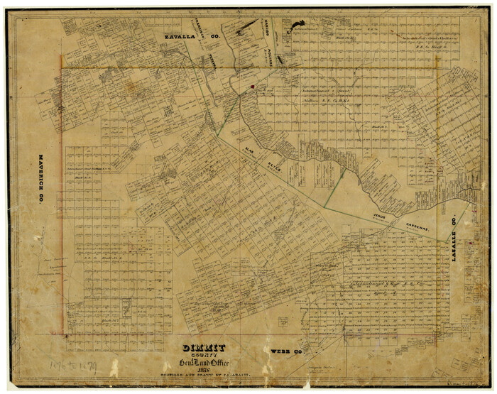
[Texas & Pacific RR. Co. Blocks 6 and 4, L. C. Denison, Guadalupe College and vicinity]
-
Map/Doc
92133
-
Collection
Twichell Survey Records
-
Counties
Stephens
-
Height x Width
32.5 x 19.8 inches
82.6 x 50.3 cm
Part of: Twichell Survey Records
Suburban Homes Addition


Print $2.00
- Digital $50.00
Suburban Homes Addition
1926
Size 12.9 x 9.2 inches
Map/Doc 92263
[Elizabeth Stanley, William H. Anderson, and surrounding surveys]
![91022, [Elizabeth Stanley, William H. Anderson, and surrounding surveys], Twichell Survey Records](https://historictexasmaps.com/wmedia_w700/maps/91022-1.tif.jpg)
![91022, [Elizabeth Stanley, William H. Anderson, and surrounding surveys], Twichell Survey Records](https://historictexasmaps.com/wmedia_w700/maps/91022-1.tif.jpg)
Print $20.00
- Digital $50.00
[Elizabeth Stanley, William H. Anderson, and surrounding surveys]
Size 27.0 x 18.9 inches
Map/Doc 91022
Mrs. R. L. Westerman Subdivision of 2 1/2 Acres out of North Half of Survey Number 1, Block Number 36, Township 5 North. Dawson County, Texas


Print $20.00
- Digital $50.00
Mrs. R. L. Westerman Subdivision of 2 1/2 Acres out of North Half of Survey Number 1, Block Number 36, Township 5 North. Dawson County, Texas
1924
Size 18.6 x 24.5 inches
Map/Doc 92591
[H. & T. C. RR. Company, Block 47]
![91150, [H. & T. C. RR. Company, Block 47], Twichell Survey Records](https://historictexasmaps.com/wmedia_w700/maps/91150-1.tif.jpg)
![91150, [H. & T. C. RR. Company, Block 47], Twichell Survey Records](https://historictexasmaps.com/wmedia_w700/maps/91150-1.tif.jpg)
Print $20.00
- Digital $50.00
[H. & T. C. RR. Company, Block 47]
1874
Size 20.4 x 12.5 inches
Map/Doc 91150
University of Texas System University Lands


Print $20.00
- Digital $50.00
University of Texas System University Lands
Size 23.0 x 17.5 inches
Map/Doc 93240
[Sketch showing A. B. & M. Block 2]
![91702, [Sketch showing A. B. & M. Block 2], Twichell Survey Records](https://historictexasmaps.com/wmedia_w700/maps/91702-1.tif.jpg)
![91702, [Sketch showing A. B. & M. Block 2], Twichell Survey Records](https://historictexasmaps.com/wmedia_w700/maps/91702-1.tif.jpg)
Print $2.00
- Digital $50.00
[Sketch showing A. B. & M. Block 2]
Size 8.0 x 7.9 inches
Map/Doc 91702
Subdivision of Alexander Ranch, Cochran County, Texas
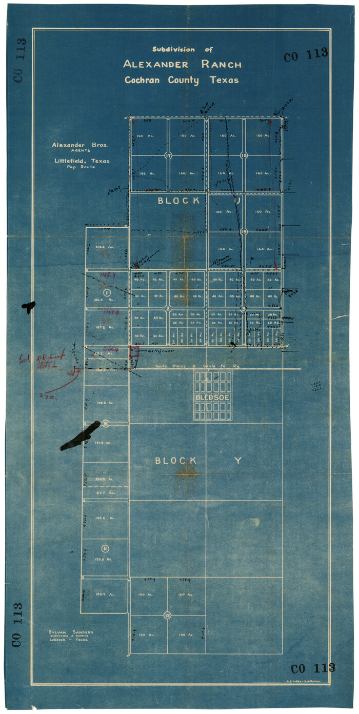

Print $20.00
- Digital $50.00
Subdivision of Alexander Ranch, Cochran County, Texas
Size 15.4 x 29.8 inches
Map/Doc 92496
Wortham & Williams' Subdivisions of the San Augustine County School Leagues situated in Lubbock Co., Texas
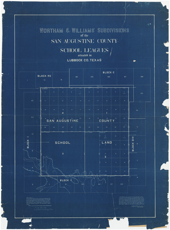

Print $40.00
- Digital $50.00
Wortham & Williams' Subdivisions of the San Augustine County School Leagues situated in Lubbock Co., Texas
1909
Size 38.7 x 52.1 inches
Map/Doc 89935
[Part of Eastern Texas RR. Co. Block 1]
![91898, [Part of Eastern Texas RR. Co. Block 1], Twichell Survey Records](https://historictexasmaps.com/wmedia_w700/maps/91898-1.tif.jpg)
![91898, [Part of Eastern Texas RR. Co. Block 1], Twichell Survey Records](https://historictexasmaps.com/wmedia_w700/maps/91898-1.tif.jpg)
Print $20.00
- Digital $50.00
[Part of Eastern Texas RR. Co. Block 1]
Size 21.2 x 12.2 inches
Map/Doc 91898
[Blocks 46, XO3, and Y]
![91181, [Blocks 46, XO3, and Y], Twichell Survey Records](https://historictexasmaps.com/wmedia_w700/maps/91181-1.tif.jpg)
![91181, [Blocks 46, XO3, and Y], Twichell Survey Records](https://historictexasmaps.com/wmedia_w700/maps/91181-1.tif.jpg)
Print $3.00
- Digital $50.00
[Blocks 46, XO3, and Y]
Size 9.8 x 16.0 inches
Map/Doc 91181
Sketch in Block 9, Potter County Texas


Print $20.00
- Digital $50.00
Sketch in Block 9, Potter County Texas
1945
Size 15.7 x 18.5 inches
Map/Doc 91719
Working Sketch Crockett County
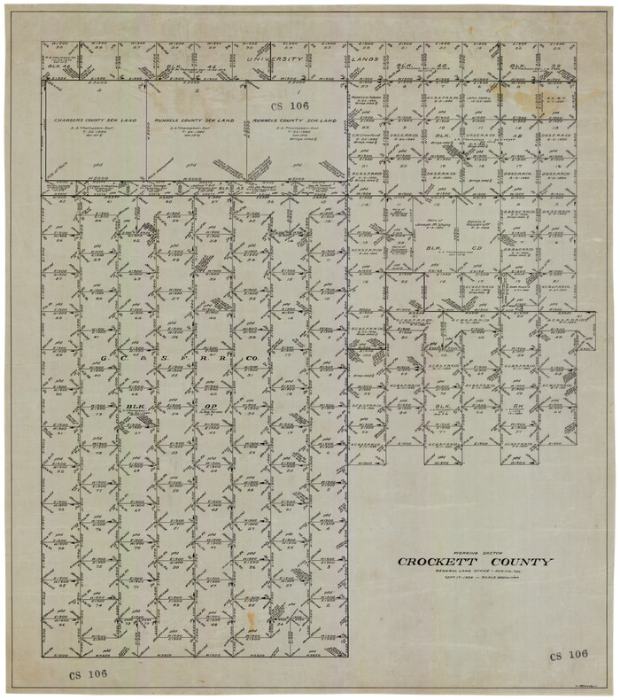

Print $20.00
- Digital $50.00
Working Sketch Crockett County
1924
Size 31.2 x 35.1 inches
Map/Doc 92608
You may also like
Scurry County Rolled Sketch 1
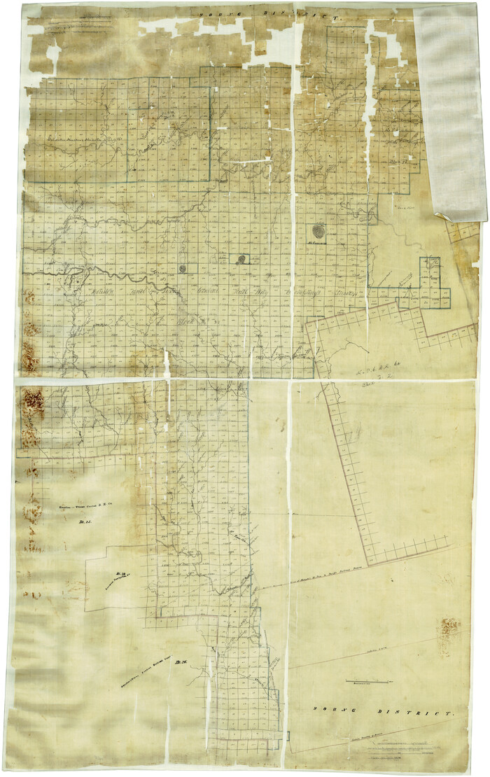

Print $40.00
- Digital $50.00
Scurry County Rolled Sketch 1
Size 70.5 x 44.9 inches
Map/Doc 9910
Nacogdoches County Working Sketch 7
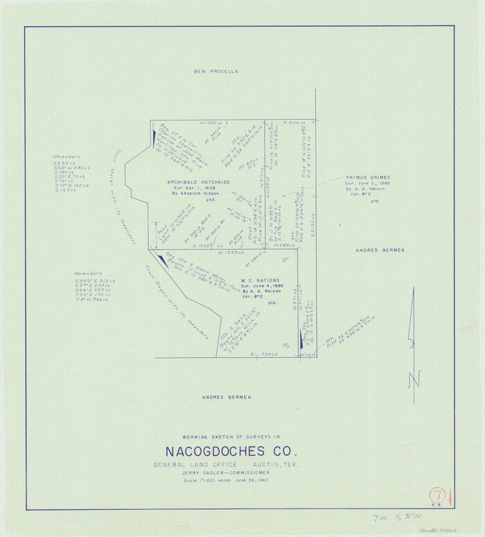

Print $20.00
- Digital $50.00
Nacogdoches County Working Sketch 7
1962
Size 24.1 x 21.7 inches
Map/Doc 71223
Culberson County Sketch File 44


Print $57.00
- Digital $50.00
Culberson County Sketch File 44
1968
Size 11.4 x 8.9 inches
Map/Doc 20331
Hudspeth County Working Sketch 64


Print $20.00
- Digital $50.00
Hudspeth County Working Sketch 64
2006
Size 30.1 x 37.1 inches
Map/Doc 83064
Flight Mission No. DQO-8K, Frame 46, Galveston County
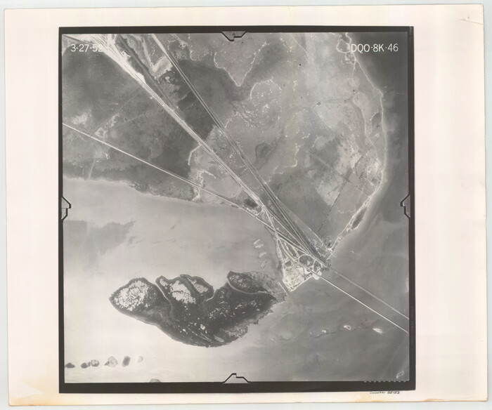

Print $20.00
- Digital $50.00
Flight Mission No. DQO-8K, Frame 46, Galveston County
1952
Size 18.7 x 22.4 inches
Map/Doc 85153
Duval County Sketch File 4b
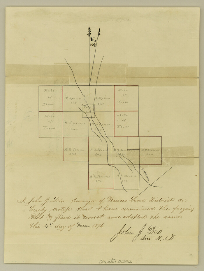

Print $4.00
- Digital $50.00
Duval County Sketch File 4b
1874
Size 10.4 x 7.8 inches
Map/Doc 21282
Castro County, Texas


Print $20.00
- Digital $50.00
Castro County, Texas
1891
Size 24.5 x 20.4 inches
Map/Doc 694
Hardin County Working Sketch 8
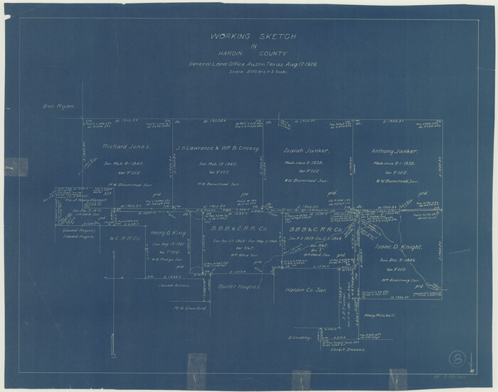

Print $20.00
- Digital $50.00
Hardin County Working Sketch 8
1926
Size 16.5 x 21.0 inches
Map/Doc 63406
Southern Pacific Rice Belt
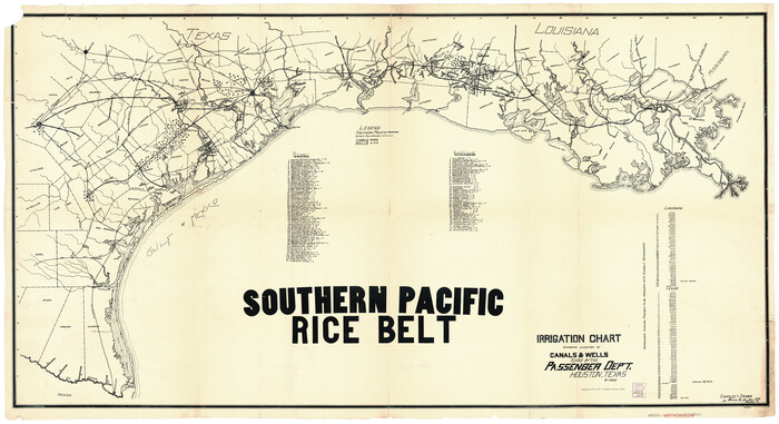

Print $40.00
- Digital $50.00
Southern Pacific Rice Belt
Size 31.6 x 57.9 inches
Map/Doc 96793
Taylor County Sketch File 1


Print $20.00
- Digital $50.00
Taylor County Sketch File 1
Size 33.3 x 40.8 inches
Map/Doc 10381
Nolan County Sketch File 20


Print $40.00
- Digital $50.00
Nolan County Sketch File 20
1954
Size 21.1 x 22.4 inches
Map/Doc 42168
![92133, [Texas & Pacific RR. Co. Blocks 6 and 4, L. C. Denison, Guadalupe College and vicinity], Twichell Survey Records](https://historictexasmaps.com/wmedia_w1800h1800/maps/92133-1.tif.jpg)
