[Kent County Block 4, Sections 33 and 46, Block 97, Sections 771 and 772]
K108
-
Map/Doc
92192
-
Collection
Twichell Survey Records
-
Object Dates
4/30/1951 (Creation Date)
-
People and Organizations
Sylvan Sanders (Surveyor/Engineer)
-
Counties
Kent
-
Height x Width
8.7 x 15.6 inches
22.1 x 39.6 cm
Part of: Twichell Survey Records
[E. L. & R. R. RR. Co. Block D8 and vicinity]
![91862, [E. L. & R. R. RR. Co. Block D8 and vicinity], Twichell Survey Records](https://historictexasmaps.com/wmedia_w700/maps/91862-1.tif.jpg)
![91862, [E. L. & R. R. RR. Co. Block D8 and vicinity], Twichell Survey Records](https://historictexasmaps.com/wmedia_w700/maps/91862-1.tif.jpg)
Print $20.00
- Digital $50.00
[E. L. & R. R. RR. Co. Block D8 and vicinity]
1889
Size 17.1 x 19.8 inches
Map/Doc 91862
Caldwell County


Print $20.00
- Digital $50.00
Caldwell County
1896
Size 42.7 x 33.3 inches
Map/Doc 93039
[Blocks M25, M22, R, and vicinity]
![91240, [Blocks M25, M22, R, and vicinity], Twichell Survey Records](https://historictexasmaps.com/wmedia_w700/maps/91240-1.tif.jpg)
![91240, [Blocks M25, M22, R, and vicinity], Twichell Survey Records](https://historictexasmaps.com/wmedia_w700/maps/91240-1.tif.jpg)
Print $20.00
- Digital $50.00
[Blocks M25, M22, R, and vicinity]
1922
Size 29.0 x 25.7 inches
Map/Doc 91240
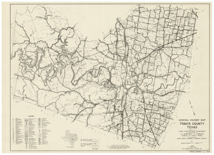
General Highway Map Travis County

Print $20.00
- Digital $50.00
General Highway Map Travis County
1952
Size 17.2 x 12.5 inches
Map/Doc 92288
Dawson County Sketch [showing T. & P. Blocks 34 and 33, Township 5 N]
![90546, Dawson County Sketch [showing T. & P. Blocks 34 and 33, Township 5 N], Twichell Survey Records](https://historictexasmaps.com/wmedia_w700/maps/90546-1.tif.jpg)
![90546, Dawson County Sketch [showing T. & P. Blocks 34 and 33, Township 5 N], Twichell Survey Records](https://historictexasmaps.com/wmedia_w700/maps/90546-1.tif.jpg)
Print $2.00
- Digital $50.00
Dawson County Sketch [showing T. & P. Blocks 34 and 33, Township 5 N]
Size 12.6 x 7.0 inches
Map/Doc 90546
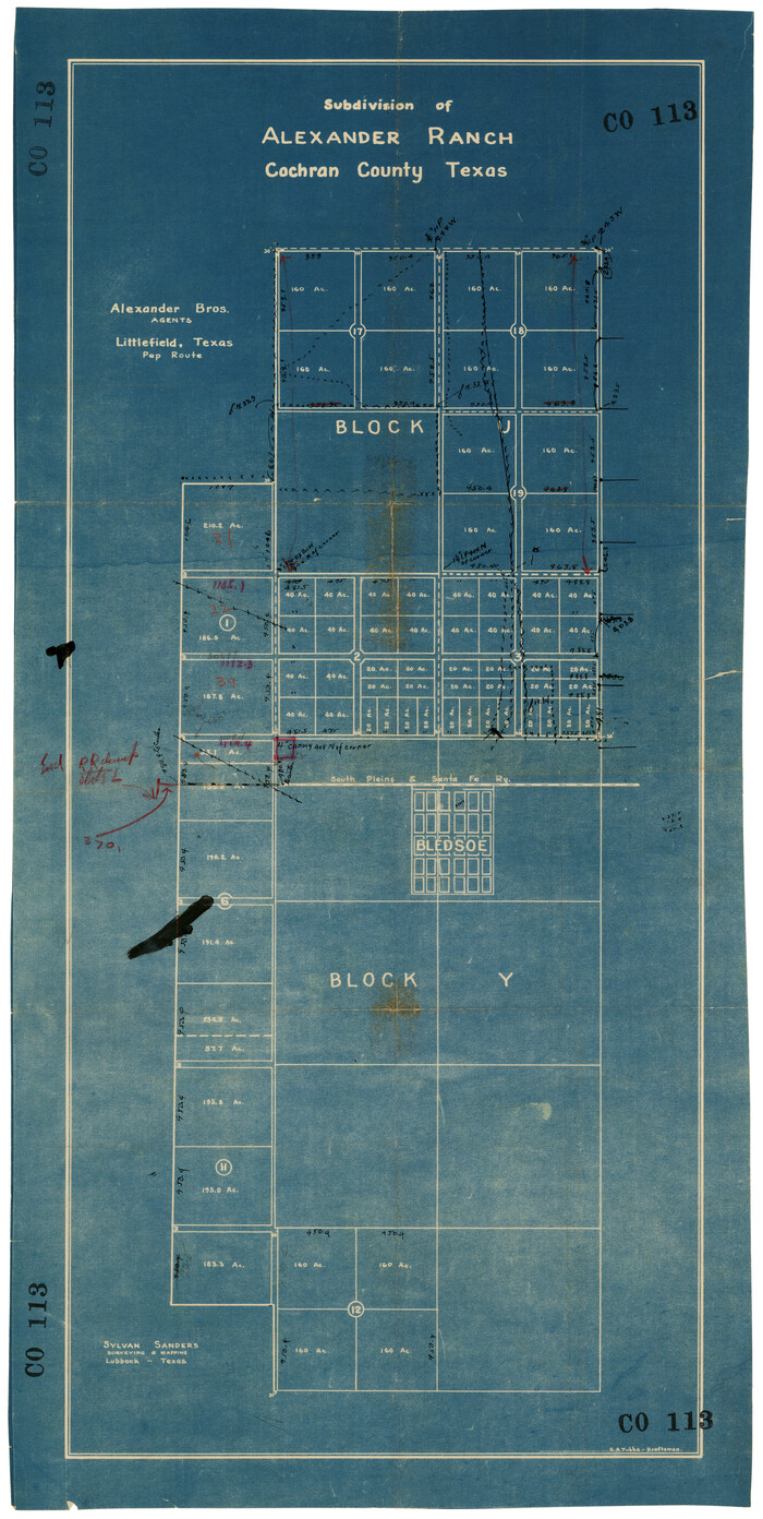
Subdivision of Alexander Ranch, Cochran County, Texas

Print $20.00
- Digital $50.00
Subdivision of Alexander Ranch, Cochran County, Texas
Size 15.4 x 29.8 inches
Map/Doc 92496
[Sketch of area around Mary Fury and John P. Rohus Surveys]
![91917, [Sketch of area around Mary Fury and John P. Rohus Surveys], Twichell Survey Records](https://historictexasmaps.com/wmedia_w700/maps/91917-1.tif.jpg)
![91917, [Sketch of area around Mary Fury and John P. Rohus Surveys], Twichell Survey Records](https://historictexasmaps.com/wmedia_w700/maps/91917-1.tif.jpg)
Print $20.00
- Digital $50.00
[Sketch of area around Mary Fury and John P. Rohus Surveys]
Size 19.4 x 19.7 inches
Map/Doc 91917
Part of Lea County


Print $20.00
- Digital $50.00
Part of Lea County
Size 42.2 x 35.5 inches
Map/Doc 92438
[Surveys in Southeast part of Stephens County]
![91909, [Surveys in Southeast part of Stephens County], Twichell Survey Records](https://historictexasmaps.com/wmedia_w700/maps/91909-1.tif.jpg)
![91909, [Surveys in Southeast part of Stephens County], Twichell Survey Records](https://historictexasmaps.com/wmedia_w700/maps/91909-1.tif.jpg)
Print $2.00
- Digital $50.00
[Surveys in Southeast part of Stephens County]
Size 9.1 x 7.0 inches
Map/Doc 91909
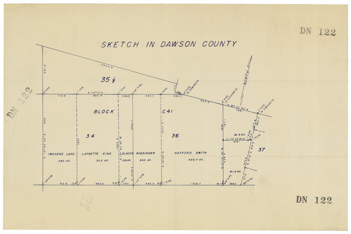
Sketch in Dawson County

Print $20.00
- Digital $50.00
Sketch in Dawson County
Size 18.7 x 12.4 inches
Map/Doc 92567
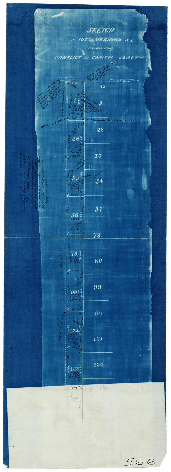
Sketch of 103rd Meridian, W. L. showing Conflict of Capitol Leagues

Print $20.00
- Digital $50.00
Sketch of 103rd Meridian, W. L. showing Conflict of Capitol Leagues
Size 8.1 x 22.1 inches
Map/Doc 90578
[Area north of Leagues 1 & 4, Morris County School Land]
![90353, [Area north of Leagues 1 & 4, Morris County School Land], Twichell Survey Records](https://historictexasmaps.com/wmedia_w700/maps/90353-1.tif.jpg)
![90353, [Area north of Leagues 1 & 4, Morris County School Land], Twichell Survey Records](https://historictexasmaps.com/wmedia_w700/maps/90353-1.tif.jpg)
Print $20.00
- Digital $50.00
[Area north of Leagues 1 & 4, Morris County School Land]
Size 21.3 x 16.0 inches
Map/Doc 90353
You may also like
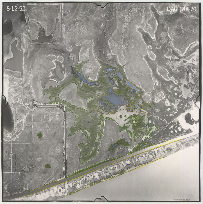
Flight Mission No. DAG-18K, Frame 70, Matagorda County

Print $20.00
- Digital $50.00
Flight Mission No. DAG-18K, Frame 70, Matagorda County
1952
Size 16.3 x 16.2 inches
Map/Doc 86363
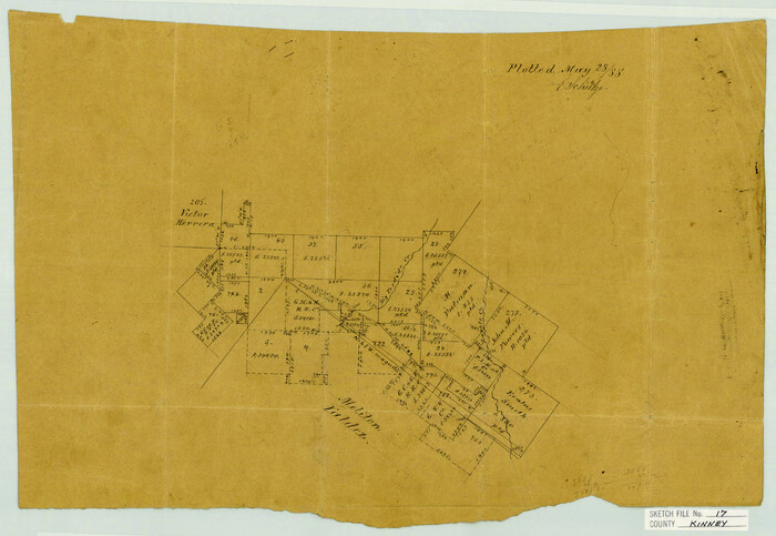
Kinney County Sketch File 17

Print $3.00
- Digital $50.00
Kinney County Sketch File 17
1888
Size 11.7 x 16.9 inches
Map/Doc 11942
Cochran County Sketch File A


Print $20.00
- Digital $50.00
Cochran County Sketch File A
1923
Size 21.2 x 12.5 inches
Map/Doc 11102
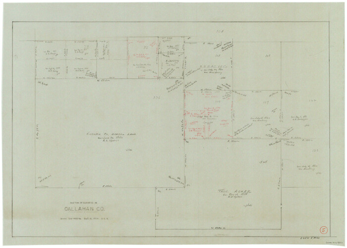
Callahan County Working Sketch 5

Print $20.00
- Digital $50.00
Callahan County Working Sketch 5
1954
Size 24.3 x 33.8 inches
Map/Doc 67887
Flight Mission No. CRC-2R, Frame 123, Chambers County


Print $20.00
- Digital $50.00
Flight Mission No. CRC-2R, Frame 123, Chambers County
1956
Size 18.6 x 22.4 inches
Map/Doc 84747
Chart showing the positions of the lights in the Eighth L. H. District extending from the Perdido River, Florida to the Rio Grande, Texas


Print $20.00
- Digital $50.00
Chart showing the positions of the lights in the Eighth L. H. District extending from the Perdido River, Florida to the Rio Grande, Texas
1876
Size 24.7 x 18.2 inches
Map/Doc 72682
Map of the Fort Worth & Denver City Railway


Print $40.00
- Digital $50.00
Map of the Fort Worth & Denver City Railway
1887
Size 22.8 x 124.4 inches
Map/Doc 64458
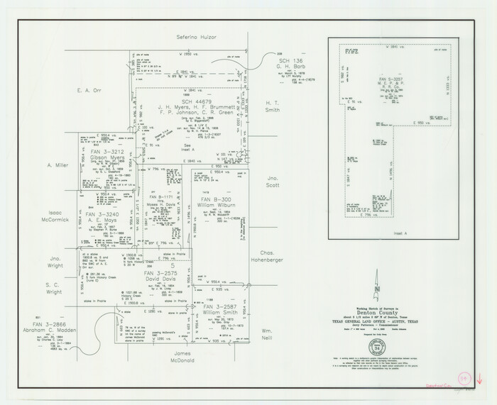
Denton County Working Sketch 34

Print $20.00
- Digital $50.00
Denton County Working Sketch 34
2005
Size 22.2 x 27.3 inches
Map/Doc 83570
Pecos County Sketch File 68
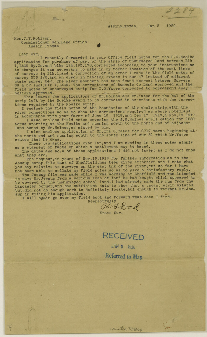

Print $6.00
- Digital $50.00
Pecos County Sketch File 68
1920
Size 14.4 x 8.8 inches
Map/Doc 33866
General Highway Map, El Paso County, Texas
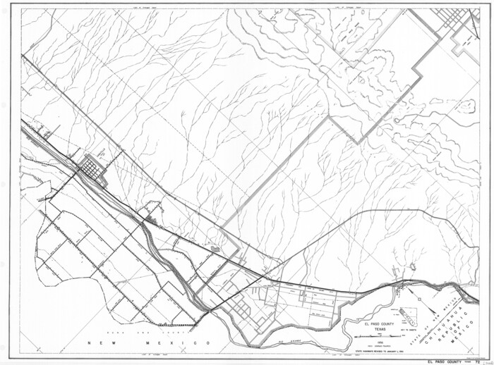

Print $20.00
General Highway Map, El Paso County, Texas
1961
Size 18.1 x 24.5 inches
Map/Doc 79456
Newton County Working Sketch 4


Print $20.00
- Digital $50.00
Newton County Working Sketch 4
1924
Size 24.1 x 21.0 inches
Map/Doc 71250
Map of Texas compiled from surveys recorded in the Land Office of Texas, and other official surveys


Print $20.00
- Digital $50.00
Map of Texas compiled from surveys recorded in the Land Office of Texas, and other official surveys
1843
Size 27.1 x 22.5 inches
Map/Doc 93863
![92192, [Kent County Block 4, Sections 33 and 46, Block 97, Sections 771 and 772], Twichell Survey Records](https://historictexasmaps.com/wmedia_w1800h1800/maps/92192-1.tif.jpg)