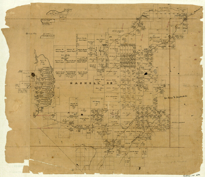
[Area north of Leagues 1 & 4, Morris County School Land]
54-35
-
Map/Doc
90353
-
Collection
Twichell Survey Records
-
Counties
Crosby
-
Height x Width
21.3 x 16.0 inches
54.1 x 40.6 cm
Part of: Twichell Survey Records
[H. & T. C. RR. Company, Block 47 and vicinity]
![91158, [H. & T. C. RR. Company, Block 47 and vicinity], Twichell Survey Records](https://historictexasmaps.com/wmedia_w700/maps/91158-1.tif.jpg)
![91158, [H. & T. C. RR. Company, Block 47 and vicinity], Twichell Survey Records](https://historictexasmaps.com/wmedia_w700/maps/91158-1.tif.jpg)
Print $20.00
- Digital $50.00
[H. & T. C. RR. Company, Block 47 and vicinity]
Size 18.5 x 19.2 inches
Map/Doc 91158
[Area between G. C. & S. F. RR. Co. Block 194 and Runnels County School Land Survey No. 3]
![91635, [Area between G. C. & S. F. RR. Co. Block 194 and Runnels County School Land Survey No. 3], Twichell Survey Records](https://historictexasmaps.com/wmedia_w700/maps/91635-1.tif.jpg)
![91635, [Area between G. C. & S. F. RR. Co. Block 194 and Runnels County School Land Survey No. 3], Twichell Survey Records](https://historictexasmaps.com/wmedia_w700/maps/91635-1.tif.jpg)
Print $3.00
- Digital $50.00
[Area between G. C. & S. F. RR. Co. Block 194 and Runnels County School Land Survey No. 3]
1926
Size 16.6 x 11.9 inches
Map/Doc 91635
Welch, Dawson County, Texas
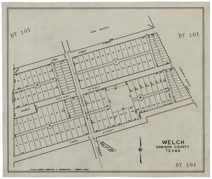

Print $20.00
- Digital $50.00
Welch, Dawson County, Texas
Size 19.4 x 16.6 inches
Map/Doc 92592
Property of Hobbs Trailers Manufacturing Company
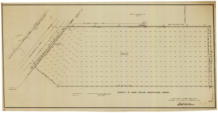

Print $20.00
- Digital $50.00
Property of Hobbs Trailers Manufacturing Company
1956
Size 36.6 x 18.9 inches
Map/Doc 92733
Fair View Heights Addition to City of Lubbock Located on Survey 80, Blk. A
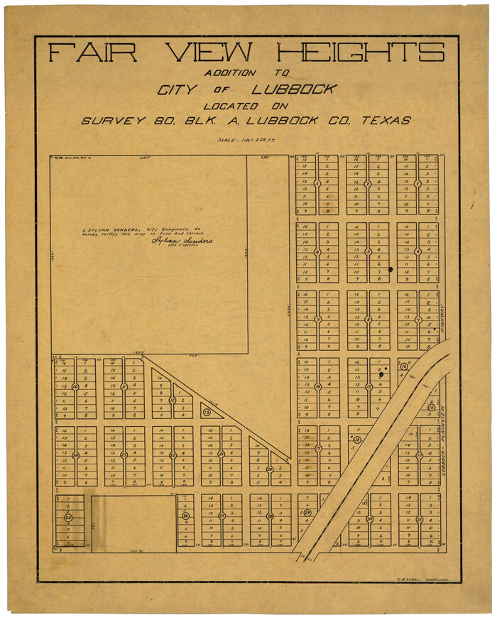

Print $20.00
- Digital $50.00
Fair View Heights Addition to City of Lubbock Located on Survey 80, Blk. A
Size 16.8 x 21.1 inches
Map/Doc 92760
Lands of C. W. Post in Garza and Lynn Counties, Texas, and Surrounding Lands


Print $20.00
- Digital $50.00
Lands of C. W. Post in Garza and Lynn Counties, Texas, and Surrounding Lands
Size 15.8 x 18.0 inches
Map/Doc 92645
[PSL Blocks A, 38, 40, 51-57, B-1 and C and T. & P. Block 46, Township 1N]
![93149, [PSL Blocks A, 38, 40, 51-57, B-1 and C and T. & P. Block 46, Township 1N], Twichell Survey Records](https://historictexasmaps.com/wmedia_w700/maps/93149-1.tif.jpg)
![93149, [PSL Blocks A, 38, 40, 51-57, B-1 and C and T. & P. Block 46, Township 1N], Twichell Survey Records](https://historictexasmaps.com/wmedia_w700/maps/93149-1.tif.jpg)
Print $40.00
- Digital $50.00
[PSL Blocks A, 38, 40, 51-57, B-1 and C and T. & P. Block 46, Township 1N]
Size 23.8 x 84.4 inches
Map/Doc 93149
Sketch Terrell and Val Verde Counties
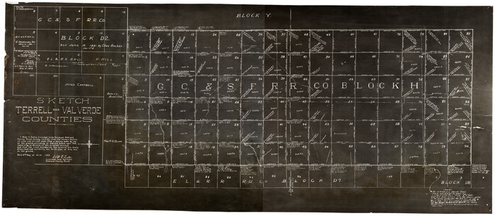

Print $20.00
- Digital $50.00
Sketch Terrell and Val Verde Counties
1932
Size 41.2 x 18.2 inches
Map/Doc 92800
[G. C. & S. F. Block S, E. L. & R. R. Block M and B9, D. & W. Block 24]
![91278, [G. C. & S. F. Block S, E. L. & R. R. Block M and B9, D. & W. Block 24], Twichell Survey Records](https://historictexasmaps.com/wmedia_w700/maps/91278-1.tif.jpg)
![91278, [G. C. & S. F. Block S, E. L. & R. R. Block M and B9, D. & W. Block 24], Twichell Survey Records](https://historictexasmaps.com/wmedia_w700/maps/91278-1.tif.jpg)
Print $20.00
- Digital $50.00
[G. C. & S. F. Block S, E. L. & R. R. Block M and B9, D. & W. Block 24]
Size 20.7 x 15.7 inches
Map/Doc 91278
Map of Terry County


Print $20.00
- Digital $50.00
Map of Terry County
Size 34.0 x 34.2 inches
Map/Doc 92933
You may also like
Childress County Sketch File 3


Print $30.00
- Digital $50.00
Childress County Sketch File 3
1885
Size 14.1 x 8.6 inches
Map/Doc 18245
Upton County Rolled Sketch 53


Print $20.00
- Digital $50.00
Upton County Rolled Sketch 53
Size 26.9 x 30.8 inches
Map/Doc 8088
Jefferson County Sketch File 42
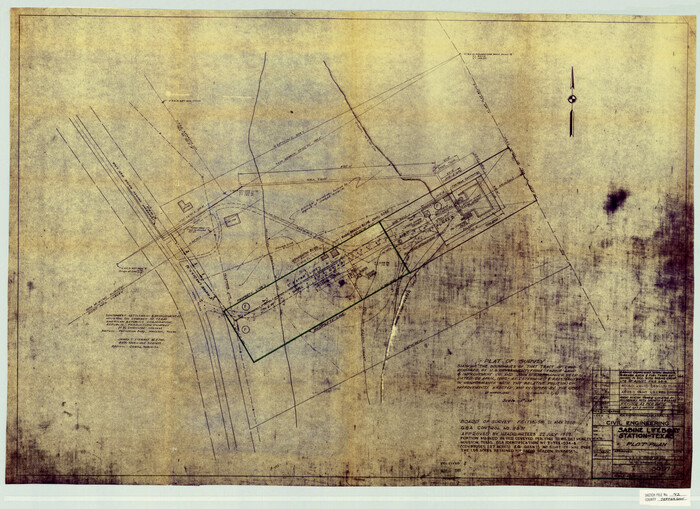

Print $20.00
- Digital $50.00
Jefferson County Sketch File 42
1945
Size 25.5 x 35.1 inches
Map/Doc 11876
McCulloch County
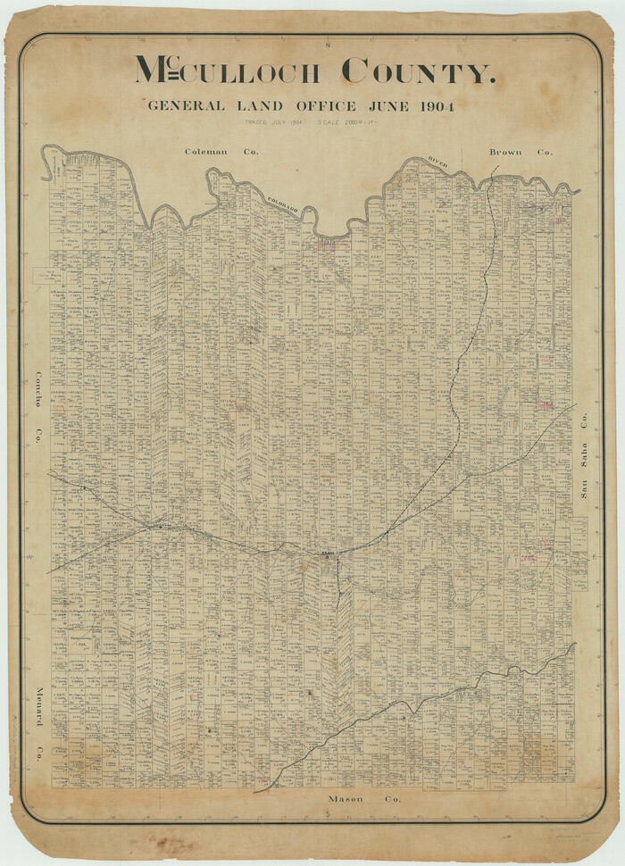

Print $40.00
- Digital $50.00
McCulloch County
1904
Size 49.2 x 35.5 inches
Map/Doc 66921
Falls County Working Sketch 1


Print $20.00
- Digital $50.00
Falls County Working Sketch 1
1922
Size 23.0 x 33.1 inches
Map/Doc 69176
Haskell County Boundary File 2
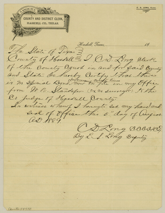

Print $2.00
- Digital $50.00
Haskell County Boundary File 2
Size 10.7 x 8.3 inches
Map/Doc 54538
The Magic Valley of the Lower Rio Grande


The Magic Valley of the Lower Rio Grande
1926
Map/Doc 96733
Kuechler's Corners, Texas & Pacific Ry. Co. 80 Mile Reserve


Print $703.00
- Digital $50.00
Kuechler's Corners, Texas & Pacific Ry. Co. 80 Mile Reserve
1934
Size 11.0 x 8.5 inches
Map/Doc 2248
Garza County Sketch File H
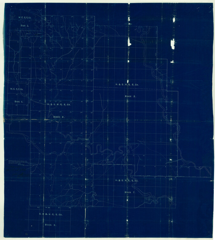

Print $20.00
- Digital $50.00
Garza County Sketch File H
Size 43.1 x 38.7 inches
Map/Doc 10472
Freestone County Working Sketch 3
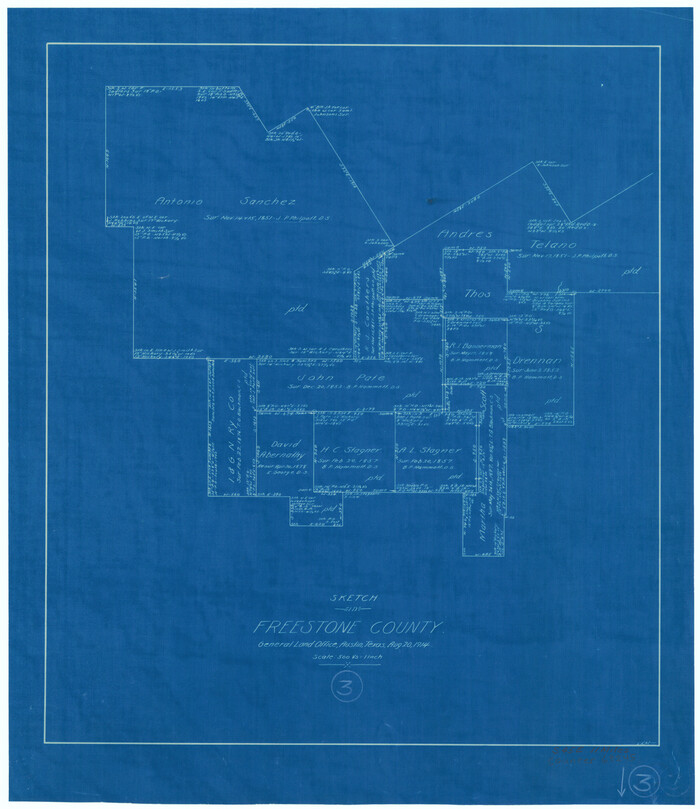

Print $20.00
- Digital $50.00
Freestone County Working Sketch 3
1914
Size 18.8 x 16.2 inches
Map/Doc 69245
![90353, [Area north of Leagues 1 & 4, Morris County School Land], Twichell Survey Records](https://historictexasmaps.com/wmedia_w1800h1800/maps/90353-1.tif.jpg)
![92619, [Hart Townsite], Twichell Survey Records](https://historictexasmaps.com/wmedia_w700/maps/92619-1.tif.jpg)
![91462, [Block B7], Twichell Survey Records](https://historictexasmaps.com/wmedia_w700/maps/91462-1.tif.jpg)
