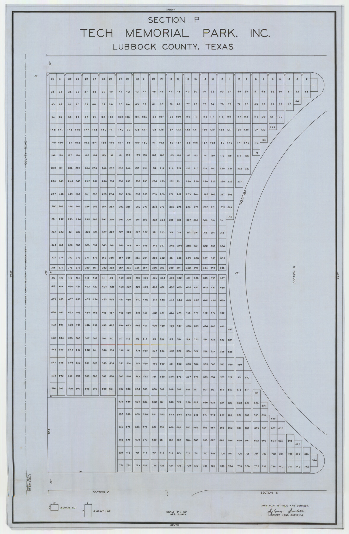
Section P Tech Memorial Park, Inc.
- 
                          Map/Doc92353
- 
                            CollectionTwichell Survey Records
- 
                            Object Dates4/14/1953 (Creation Date)
- 
                            People and OrganizationsSylvan Sanders (Surveyor/Engineer)
- 
                            CountiesLubbock
- 
                            Height x Width21.1 x 32.3 inches53.6 x 82.0 cm
Part of: Twichell Survey Records
            [Map showing connecting line from New Mexico to Double Lakes]
            
                                    ![91998, [Map showing connecting line from New Mexico to Double Lakes], Twichell Survey Records](https://historictexasmaps.com/wmedia_w700/maps/91998-1.tif.jpg) 


    ![91998, [Map showing connecting line from New Mexico to Double Lakes], Twichell Survey Records](https://historictexasmaps.com/wmedia_w700/maps/91998-1.tif.jpg) 
                                
            
                                            Print $20.00                    
                                             -                         Digital $50.00                                    
                [Map showing connecting line from New Mexico to Double Lakes]
1913
Size 39.6 x 24.2 inches
                                Map/Doc 91998
            
            Culberson County Sketch [showing PSL Blocks 109-111, 113-115 and University Block 46]
            
                                    ![90500, Culberson County Sketch [showing PSL Blocks 109-111, 113-115 and University Block 46], Twichell Survey Records](https://historictexasmaps.com/wmedia_w700/maps/90500-1.tif.jpg) 


    ![90500, Culberson County Sketch [showing PSL Blocks 109-111, 113-115 and University Block 46], Twichell Survey Records](https://historictexasmaps.com/wmedia_w700/maps/90500-1.tif.jpg) 
                                
            
                                            Print $20.00                    
                                             -                         Digital $50.00                                    
                Culberson County Sketch [showing PSL Blocks 109-111, 113-115 and University Block 46]
Size 25.8 x 12.7 inches
                                Map/Doc 90500
            
            Sketch Showing Section 3, Block JW, Subdivided to Show Quantity East of Texas Sections


                                            Print $40.00                    
                                             -                         Digital $50.00                                    
                Sketch Showing Section 3, Block JW, Subdivided to Show Quantity East of Texas Sections
Size 5.8 x 49.9 inches
                                Map/Doc 91303
            
            [Strickland Survey Sketch Showing Abercrombie Corner, Exhibit C]
            
                                    ![91369, [Strickland Survey Sketch Showing Abercrombie Corner, Exhibit C], Twichell Survey Records](https://historictexasmaps.com/wmedia_w700/maps/91369-1.tif.jpg) 


    ![91369, [Strickland Survey Sketch Showing Abercrombie Corner, Exhibit C], Twichell Survey Records](https://historictexasmaps.com/wmedia_w700/maps/91369-1.tif.jpg) 
                                
            
                                            Print $20.00                    
                                             -                         Digital $50.00                                    
                [Strickland Survey Sketch Showing Abercrombie Corner, Exhibit C]
Size 18.0 x 24.5 inches
                                Map/Doc 91369
            
            East Line of Lipscomb County


                                            Print $20.00                    
                                             -                         Digital $50.00                                    
                East Line of Lipscomb County
Size 8.9 x 21.7 inches
                                Map/Doc 91317
            
            [Block K5, Section 13]
            
                                    ![91452, [Block K5, Section 13], Twichell Survey Records](https://historictexasmaps.com/wmedia_w700/maps/91452-1.tif.jpg) 


    ![91452, [Block K5, Section 13], Twichell Survey Records](https://historictexasmaps.com/wmedia_w700/maps/91452-1.tif.jpg) 
                                
            
                                            Print $20.00                    
                                             -                         Digital $50.00                                    
                [Block K5, Section 13]
Size 22.2 x 18.5 inches
                                Map/Doc 91452
            
            [Sketch showing various surveys south and along Holiday Creek]
            
                                    ![89979, [Sketch showing various surveys south and along Holiday Creek], Twichell Survey Records](https://historictexasmaps.com/wmedia_w700/maps/89979-1.tif.jpg) 


    ![89979, [Sketch showing various surveys south and along Holiday Creek], Twichell Survey Records](https://historictexasmaps.com/wmedia_w700/maps/89979-1.tif.jpg) 
                                
            
                                            Print $20.00                    
                                             -                         Digital $50.00                                    
                [Sketch showing various surveys south and along Holiday Creek]
Size 36.1 x 30.1 inches
                                Map/Doc 89979
            
            [Southeast Corner of Glasscock County]
            
                                    ![90786, [Southeast Corner of Glasscock County], Twichell Survey Records](https://historictexasmaps.com/wmedia_w700/maps/90786-1.tif.jpg) 


    ![90786, [Southeast Corner of Glasscock County], Twichell Survey Records](https://historictexasmaps.com/wmedia_w700/maps/90786-1.tif.jpg) 
                                
            
                                            Print $20.00                    
                                             -                         Digital $50.00                                    
                [Southeast Corner of Glasscock County]
Size 19.2 x 22.5 inches
                                Map/Doc 90786
            
            Navarro County, 1888


                                            Print $20.00                    
                                             -                         Digital $50.00                                    
                Navarro County, 1888
1888
Size 43.8 x 32.2 inches
                                Map/Doc 89651
            
            Map of Pecos County, Texas


                                            Print $20.00                    
                                             -                         Digital $50.00                                    
                Map of Pecos County, Texas
Size 18.9 x 22.8 inches
                                Map/Doc 91573
            
            [Sketch Between Wheeler County and Oklahoma]
            
                                    ![89665, [Sketch Between Wheeler County and Oklahoma], Twichell Survey Records](https://historictexasmaps.com/wmedia_w700/maps/89665-1.tif.jpg) 


    ![89665, [Sketch Between Wheeler County and Oklahoma], Twichell Survey Records](https://historictexasmaps.com/wmedia_w700/maps/89665-1.tif.jpg) 
                                
            
                                            Print $40.00                    
                                             -                         Digital $50.00                                    
                [Sketch Between Wheeler County and Oklahoma]
Size 8.8 x 62.7 inches
                                Map/Doc 89665
            You may also like
            Map of Anderson County


                                            Print $20.00                    
                                             -                         Digital $50.00                                    
                Map of Anderson County
1879
Size 18.9 x 23.5 inches
                                Map/Doc 3229
            
            General Highway Map.  Detail of Cities and Towns in Milam County, Texas  [Rockdale and Cameron and vicinities]
            
                                    ![79598, General Highway Map.  Detail of Cities and Towns in Milam County, Texas  [Rockdale and Cameron and vicinities], Texas State Library and Archives](https://historictexasmaps.com/wmedia_w700/maps/79598.tif.jpg) 


    ![79598, General Highway Map.  Detail of Cities and Towns in Milam County, Texas  [Rockdale and Cameron and vicinities], Texas State Library and Archives](https://historictexasmaps.com/wmedia_w700/maps/79598.tif.jpg) 
                                
            
                                            Print $20.00                    
                                    
                General Highway Map. Detail of Cities and Towns in Milam County, Texas [Rockdale and Cameron and vicinities]
1961
Size 18.1 x 24.6 inches
                                Map/Doc 79598
            
            Marion County Working Sketch 42


                                            Print $20.00                    
                                             -                         Digital $50.00                                    
                Marion County Working Sketch 42
2000
Size 29.6 x 41.4 inches
                                Map/Doc 70818
            
            Starr County Rolled Sketch 11


                                            Print $20.00                    
                                             -                         Digital $50.00                                    
                Starr County Rolled Sketch 11
1912
Size 16.5 x 16.4 inches
                                Map/Doc 7798
            
            Pottsboro Quadrangle


                                            Print $20.00                    
                                             -                         Digital $50.00                                    
                Pottsboro Quadrangle
1999
Size 35.4 x 23.4 inches
                                Map/Doc 97363
            
            Presidio County Rolled Sketch 128


                                            Print $20.00                    
                                             -                         Digital $50.00                                    
                Presidio County Rolled Sketch 128
1931
Size 26.9 x 38.0 inches
                                Map/Doc 7398
            
            Flight Mission No. CRC-4R, Frame 110, Chambers County


                                            Print $20.00                    
                                             -                         Digital $50.00                                    
                Flight Mission No. CRC-4R, Frame 110, Chambers County
1956
Size 18.6 x 22.3 inches
                                Map/Doc 84907
            
            Matagorda County Sketch File 10


                                            Print $26.00                    
                                             -                         Digital $50.00                                    
                Matagorda County Sketch File 10
Size 8.3 x 5.2 inches
                                Map/Doc 30755
            
            McLennan County Sketch File 29


                                            Print $4.00                    
                                             -                         Digital $50.00                                    
                McLennan County Sketch File 29
Size 4.5 x 8.2 inches
                                Map/Doc 31302
            
            Flight Mission No. BRE-2P, Frame 39, Nueces County


                                            Print $20.00                    
                                             -                         Digital $50.00                                    
                Flight Mission No. BRE-2P, Frame 39, Nueces County
1956
Size 18.6 x 22.4 inches
                                Map/Doc 86741
            
            Victoria County Rolled Sketch 4A


                                            Print $40.00                    
                                             -                         Digital $50.00                                    
                Victoria County Rolled Sketch 4A
Size 66.4 x 43.9 inches
                                Map/Doc 10095
            
            Survey of Lots 1 and 2, Desha Bunton Subdivision


                                            Print $20.00                    
                                             -                         Digital $50.00                                    
                Survey of Lots 1 and 2, Desha Bunton Subdivision
1916
Size 19.6 x 18.4 inches
                                Map/Doc 487
             
                        