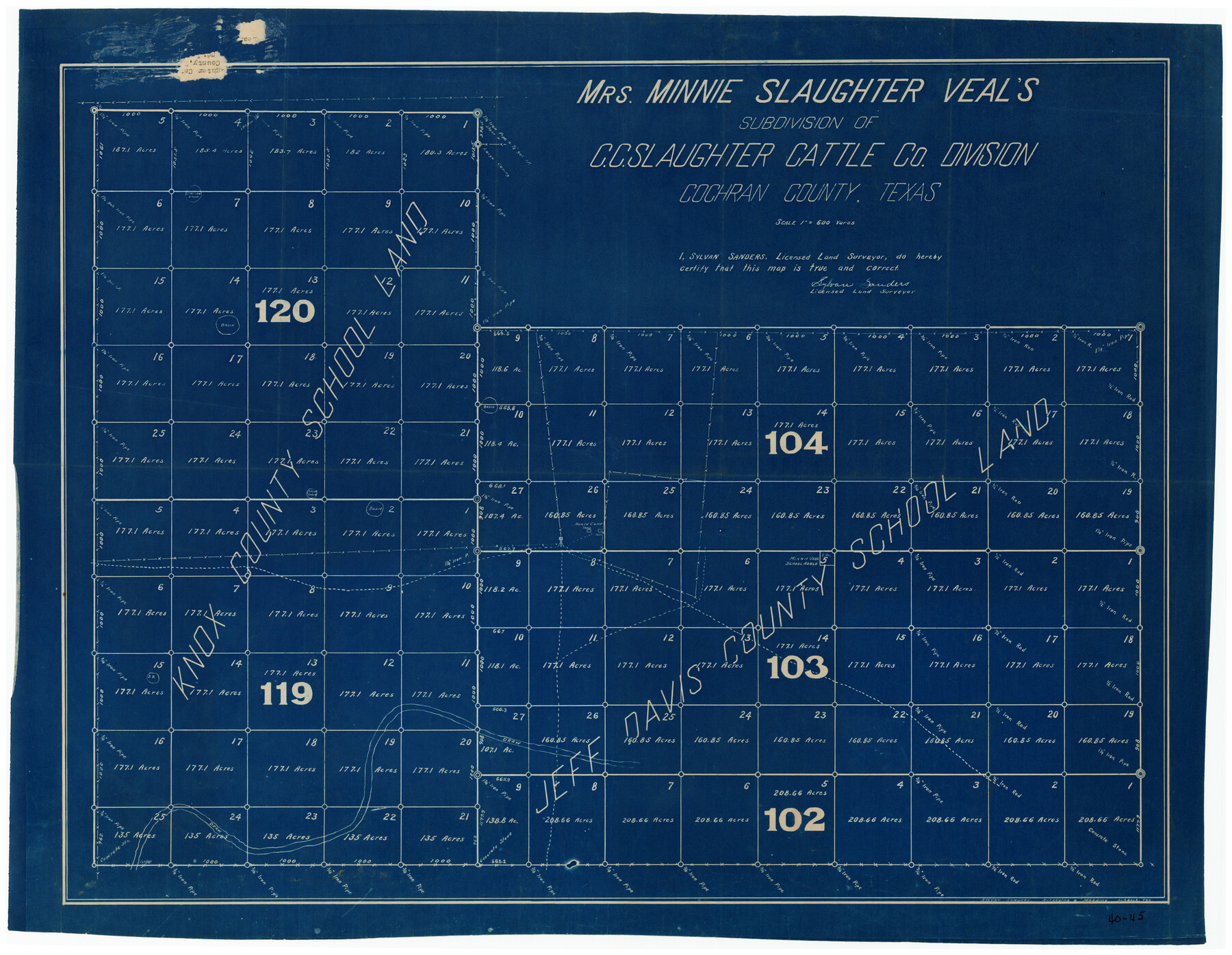
Mrs. Minnie Slaughter Veal's Subdivision of C. C. Slaughter Cattle Co. Division, Cochran County, Texas
40-45
-
Map/Doc
90296
-
Collection
Twichell Survey Records
-
People and Organizations
Sylvan Sanders (Surveyor/Engineer)
-
Counties
Cochran
-
Height x Width
26.6 x 20.5 inches
67.6 x 52.1 cm
Part of: Twichell Survey Records
[Littlefield Subdivision Blocks 657-687]
![91008, [Littlefield Subdivision Blocks 657-687], Twichell Survey Records](https://historictexasmaps.com/wmedia_w700/maps/91008-1.tif.jpg)
Print $20.00
- Digital $50.00
[Littlefield Subdivision Blocks 657-687]
Size 15.7 x 12.1 inches
Map/Doc 91008
Temple Morrow Irrigated Farm South Half of Section 1, Block D6

Print $3.00
- Digital $50.00
Temple Morrow Irrigated Farm South Half of Section 1, Block D6
Size 9.5 x 12.8 inches
Map/Doc 92311
[West Half of the State of Kansas]
![93159, [West Half of the State of Kansas], Twichell Survey Records](https://historictexasmaps.com/wmedia_w700/maps/93159-1.tif.jpg)
Print $40.00
- Digital $50.00
[West Half of the State of Kansas]
Size 60.8 x 54.0 inches
Map/Doc 93159
[Block E, and Portions of Blocks 20 and S]
![91327, [Block E, and Portions of Blocks 20 and S], Twichell Survey Records](https://historictexasmaps.com/wmedia_w700/maps/91327-1.tif.jpg)
Print $20.00
- Digital $50.00
[Block E, and Portions of Blocks 20 and S]
Size 14.9 x 30.2 inches
Map/Doc 91327
Map of the Survey of the 100th Meridian of Longitude west of Greenwich beginning at Red River and extending to the parallel 36 1/2 degrees north latitude

Print $40.00
- Digital $50.00
Map of the Survey of the 100th Meridian of Longitude west of Greenwich beginning at Red River and extending to the parallel 36 1/2 degrees north latitude
Size 11.4 x 111.7 inches
Map/Doc 93191
Map of Sections 1-60 Block 46, H. & T. C. RR. Co. Survey according to courses and distances - Maddox survey

Print $40.00
- Digital $50.00
Map of Sections 1-60 Block 46, H. & T. C. RR. Co. Survey according to courses and distances - Maddox survey
Size 75.6 x 20.2 inches
Map/Doc 93129
[T. T. RR. Co. Block 8 and vicinity]
![90795, [T. T. RR. Co. Block 8 and vicinity], Twichell Survey Records](https://historictexasmaps.com/wmedia_w700/maps/90795-1.tif.jpg)
Print $20.00
- Digital $50.00
[T. T. RR. Co. Block 8 and vicinity]
Size 20.3 x 15.2 inches
Map/Doc 90795
[Sketch showing H. & G. N. Blk. 1]
![89634, [Sketch showing H. & G. N. Blk. 1], Twichell Survey Records](https://historictexasmaps.com/wmedia_w700/maps/89634-1.tif.jpg)
Print $40.00
- Digital $50.00
[Sketch showing H. & G. N. Blk. 1]
Size 27.1 x 60.6 inches
Map/Doc 89634
[Sketch of Blk. 1, I. & G. N., Secs. 61-65, 545, Pt. Blk. 194]
![89637, [Sketch of Blk. 1, I. & G. N., Secs. 61-65, 545, Pt. Blk. 194], Twichell Survey Records](https://historictexasmaps.com/wmedia_w700/maps/89637-1.tif.jpg)
Print $40.00
- Digital $50.00
[Sketch of Blk. 1, I. & G. N., Secs. 61-65, 545, Pt. Blk. 194]
Size 56.2 x 22.8 inches
Map/Doc 89637
[Texas and New Orleans Railroad Company, Block 2]
![92702, [Texas and New Orleans Railroad Company, Block 2], Twichell Survey Records](https://historictexasmaps.com/wmedia_w700/maps/92702-1.tif.jpg)
Print $20.00
- Digital $50.00
[Texas and New Orleans Railroad Company, Block 2]
1906
Size 21.1 x 14.4 inches
Map/Doc 92702
[Blocks M1 and 3T]
![91515, [Blocks M1 and 3T], Twichell Survey Records](https://historictexasmaps.com/wmedia_w700/maps/91515-1.tif.jpg)
Print $20.00
- Digital $50.00
[Blocks M1 and 3T]
Size 10.1 x 26.3 inches
Map/Doc 91515
[PSL Blocks A57, 77; B1-B3, T. & P. Block 46, T-1-N]
![90167, [PSL Blocks A57, 77; B1-B3, T. & P. Block 46, T-1-N], Twichell Survey Records](https://historictexasmaps.com/wmedia_w700/maps/90167-1.tif.jpg)
Print $20.00
- Digital $50.00
[PSL Blocks A57, 77; B1-B3, T. & P. Block 46, T-1-N]
Size 33.4 x 36.1 inches
Map/Doc 90167
You may also like
Hidalgo County Sketch

Print $20.00
- Digital $50.00
Hidalgo County Sketch
1903
Size 30.4 x 37.7 inches
Map/Doc 4450
Texas, nach den besten Quellen entw. u. gez. vom Hauptm. Radefeld

Print $20.00
- Digital $50.00
Texas, nach den besten Quellen entw. u. gez. vom Hauptm. Radefeld
1851
Size 15.0 x 18.4 inches
Map/Doc 93776
Knox County, Texas

Print $20.00
- Digital $50.00
Knox County, Texas
1880
Size 27.7 x 23.4 inches
Map/Doc 550
Culberson County Rolled Sketch 1

Print $20.00
- Digital $50.00
Culberson County Rolled Sketch 1
1889
Size 28.7 x 26.4 inches
Map/Doc 5645
Jefferson County Sketch File 8

Print $8.00
- Digital $50.00
Jefferson County Sketch File 8
Size 8.0 x 7.6 inches
Map/Doc 28116
Armstrong County Sketch File B

Print $26.00
- Digital $50.00
Armstrong County Sketch File B
1903
Size 14.2 x 8.5 inches
Map/Doc 13669
Roberts County Boundary File 3

Print $44.00
- Digital $50.00
Roberts County Boundary File 3
Size 14.2 x 9.3 inches
Map/Doc 58368
Reagan County Rolled Sketch 39

Print $20.00
- Digital $50.00
Reagan County Rolled Sketch 39
1966
Size 25.7 x 25.1 inches
Map/Doc 7450
Upton County Sketch File 26

Print $20.00
- Digital $50.00
Upton County Sketch File 26
1928
Size 22.6 x 14.2 inches
Map/Doc 12520
Flight Mission No. DCL-6C, Frame 7, Kenedy County

Print $20.00
- Digital $50.00
Flight Mission No. DCL-6C, Frame 7, Kenedy County
1943
Size 18.6 x 22.4 inches
Map/Doc 85867
Texas Gulf Coast Map from the Sabine River to the Rio Grande as subdivided for mineral development

Print $20.00
- Digital $50.00
Texas Gulf Coast Map from the Sabine River to the Rio Grande as subdivided for mineral development
1948
Size 45.0 x 39.9 inches
Map/Doc 2911
Dimmit County Sketch File 48

Print $20.00
- Digital $50.00
Dimmit County Sketch File 48
1909
Size 17.9 x 19.3 inches
Map/Doc 11357