[Leagues 218, 219, 226, 222, 223, 228, and 229]
180-45
-
Map/Doc
91442
-
Collection
Twichell Survey Records
-
Object Dates
9/8/1898 (Creation Date)
-
Counties
Oldham
-
Height x Width
9.4 x 14.8 inches
23.9 x 37.6 cm
Part of: Twichell Survey Records
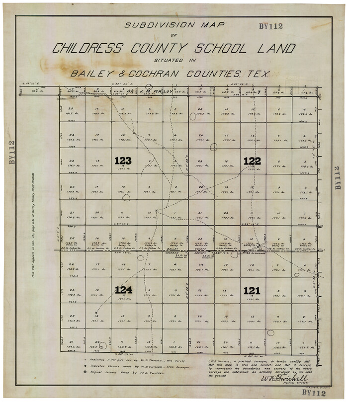
Subdivision Map of Childress County School Land Situated in Bailey and Cochran Counties, Texas

Print $20.00
- Digital $50.00
Subdivision Map of Childress County School Land Situated in Bailey and Cochran Counties, Texas
Size 23.0 x 26.4 inches
Map/Doc 92526
[Sections 58-63, I. & G. N. Block 1 and adjacent area to the west]
![91641, [Sections 58-63, I. & G. N. Block 1 and adjacent area to the west], Twichell Survey Records](https://historictexasmaps.com/wmedia_w700/maps/91641-1.tif.jpg)
![91641, [Sections 58-63, I. & G. N. Block 1 and adjacent area to the west], Twichell Survey Records](https://historictexasmaps.com/wmedia_w700/maps/91641-1.tif.jpg)
Print $20.00
- Digital $50.00
[Sections 58-63, I. & G. N. Block 1 and adjacent area to the west]
Size 22.6 x 14.8 inches
Map/Doc 91641
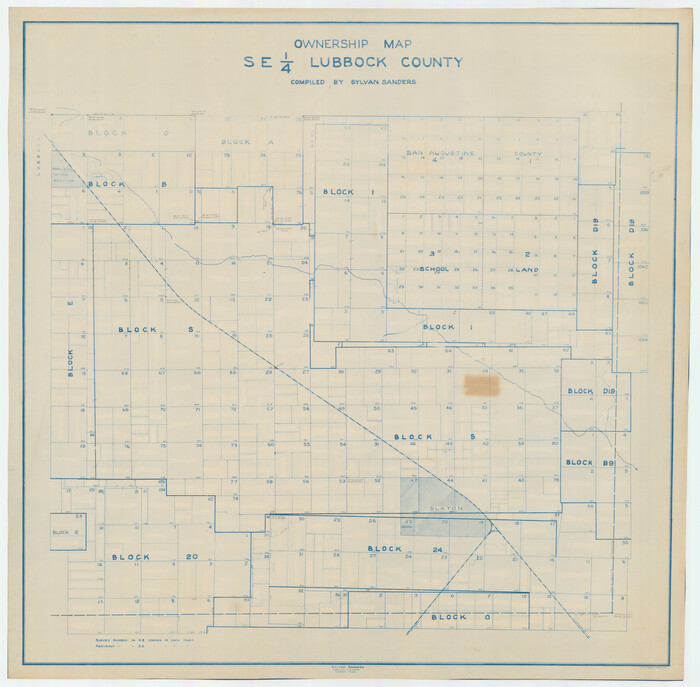
Ownership Map SE 1/4 Lubbock County

Print $20.00
- Digital $50.00
Ownership Map SE 1/4 Lubbock County
Size 36.6 x 35.9 inches
Map/Doc 89898
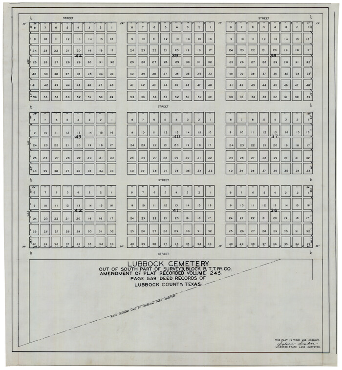
Lubbock Cemetery out of South Part of Survey 3, Block B, T.T. Ry. Co. Amendment of Plat Recorded

Print $20.00
- Digital $50.00
Lubbock Cemetery out of South Part of Survey 3, Block B, T.T. Ry. Co. Amendment of Plat Recorded
Size 22.6 x 24.5 inches
Map/Doc 92794
[T. A. Thomson Block T, R. M. Thomson Block 1]
![90968, [T. A. Thomson Block T, R. M. Thomson Block 1], Twichell Survey Records](https://historictexasmaps.com/wmedia_w700/maps/90968-1.tif.jpg)
![90968, [T. A. Thomson Block T, R. M. Thomson Block 1], Twichell Survey Records](https://historictexasmaps.com/wmedia_w700/maps/90968-1.tif.jpg)
Print $20.00
- Digital $50.00
[T. A. Thomson Block T, R. M. Thomson Block 1]
Size 12.3 x 17.5 inches
Map/Doc 90968
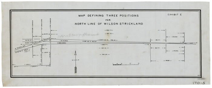
Map Defining Three Positions for North Line of Wilson Strickland

Print $20.00
- Digital $50.00
Map Defining Three Positions for North Line of Wilson Strickland
Size 25.5 x 10.7 inches
Map/Doc 91284
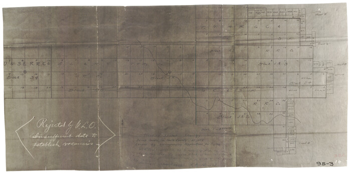
Working Sketch Showing Scrap Lands in Hale County

Print $20.00
- Digital $50.00
Working Sketch Showing Scrap Lands in Hale County
1915
Size 22.7 x 11.1 inches
Map/Doc 90742
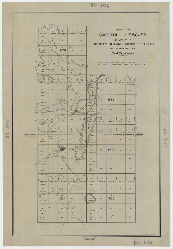
Map of Capitol Leagues Situated in Hockley and Lamb Counties, Texas

Print $20.00
- Digital $50.00
Map of Capitol Leagues Situated in Hockley and Lamb Counties, Texas
Size 18.5 x 26.1 inches
Map/Doc 92205
[T. & P. Blocks 33 and 34, Townships 4N and 5N]
![90625, [T. & P. Blocks 33 and 34, Townships 4N and 5N], Twichell Survey Records](https://historictexasmaps.com/wmedia_w700/maps/90625-1.tif.jpg)
![90625, [T. & P. Blocks 33 and 34, Townships 4N and 5N], Twichell Survey Records](https://historictexasmaps.com/wmedia_w700/maps/90625-1.tif.jpg)
Print $20.00
- Digital $50.00
[T. & P. Blocks 33 and 34, Townships 4N and 5N]
Size 14.4 x 17.7 inches
Map/Doc 90625
Working Sketch in Wheeler County [showing East line of County along border with Oklahoma]
![92085, Working Sketch in Wheeler County [showing East line of County along border with Oklahoma], Twichell Survey Records](https://historictexasmaps.com/wmedia_w700/maps/92085-1.tif.jpg)
![92085, Working Sketch in Wheeler County [showing East line of County along border with Oklahoma], Twichell Survey Records](https://historictexasmaps.com/wmedia_w700/maps/92085-1.tif.jpg)
Print $20.00
- Digital $50.00
Working Sketch in Wheeler County [showing East line of County along border with Oklahoma]
1910
Size 4.8 x 26.1 inches
Map/Doc 92085
Suburban Homes Addition


Print $2.00
- Digital $50.00
Suburban Homes Addition
1926
Size 12.9 x 9.2 inches
Map/Doc 92263
Sketch Terrell and Val Verde Counties


Print $20.00
- Digital $50.00
Sketch Terrell and Val Verde Counties
1932
Size 41.9 x 18.3 inches
Map/Doc 91947
You may also like
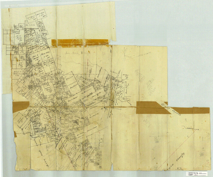
Bee County Sketch File 11

Print $40.00
- Digital $50.00
Bee County Sketch File 11
Size 20.8 x 25.0 inches
Map/Doc 10915
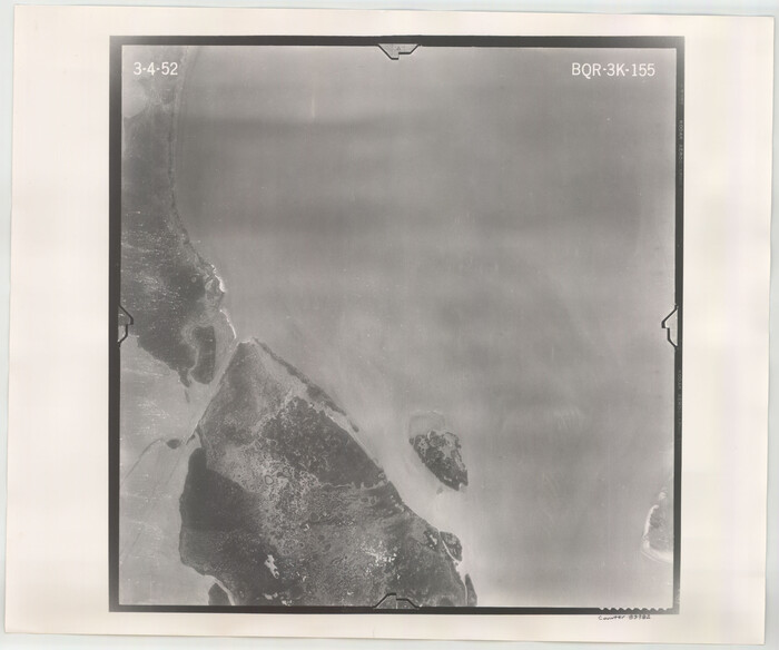
Flight Mission No. BQR-3K, Frame 155, Brazoria County

Print $20.00
- Digital $50.00
Flight Mission No. BQR-3K, Frame 155, Brazoria County
1952
Size 18.7 x 22.4 inches
Map/Doc 83982
Sutton County Sketch File 33a-b
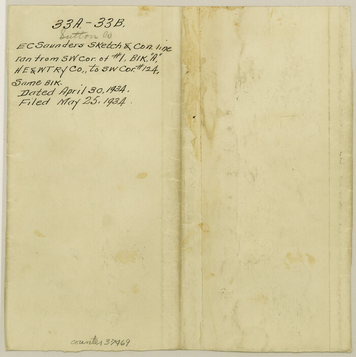

Print $7.00
- Digital $50.00
Sutton County Sketch File 33a-b
1934
Size 8.4 x 8.4 inches
Map/Doc 37469
Flight Mission No. CRC-3R, Frame 102, Chambers County
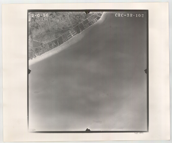

Print $20.00
- Digital $50.00
Flight Mission No. CRC-3R, Frame 102, Chambers County
1956
Size 18.7 x 22.5 inches
Map/Doc 84840
Sherman County Rolled Sketch 6
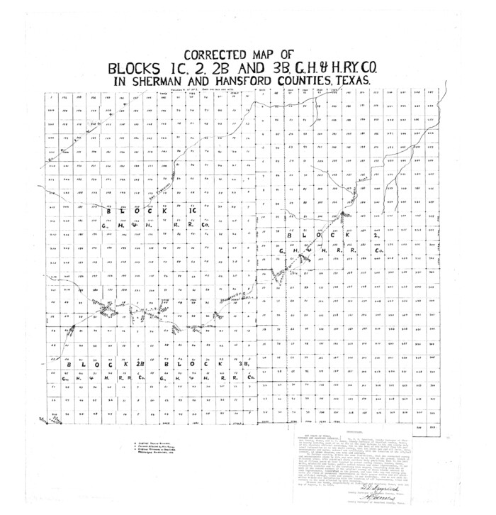

Print $20.00
- Digital $50.00
Sherman County Rolled Sketch 6
1919
Size 37.3 x 36.0 inches
Map/Doc 10731
Culberson County Sketch File 4
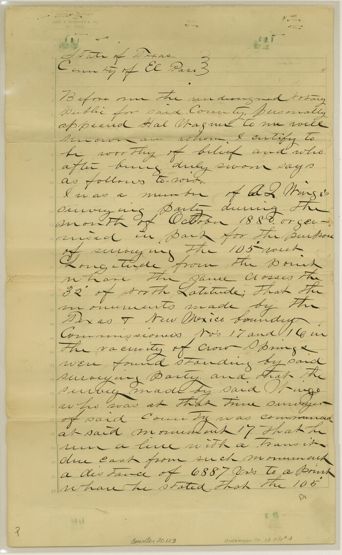

Print $56.00
- Digital $50.00
Culberson County Sketch File 4
1881
Size 14.3 x 8.8 inches
Map/Doc 20123
Reeves County Rolled Sketch 34
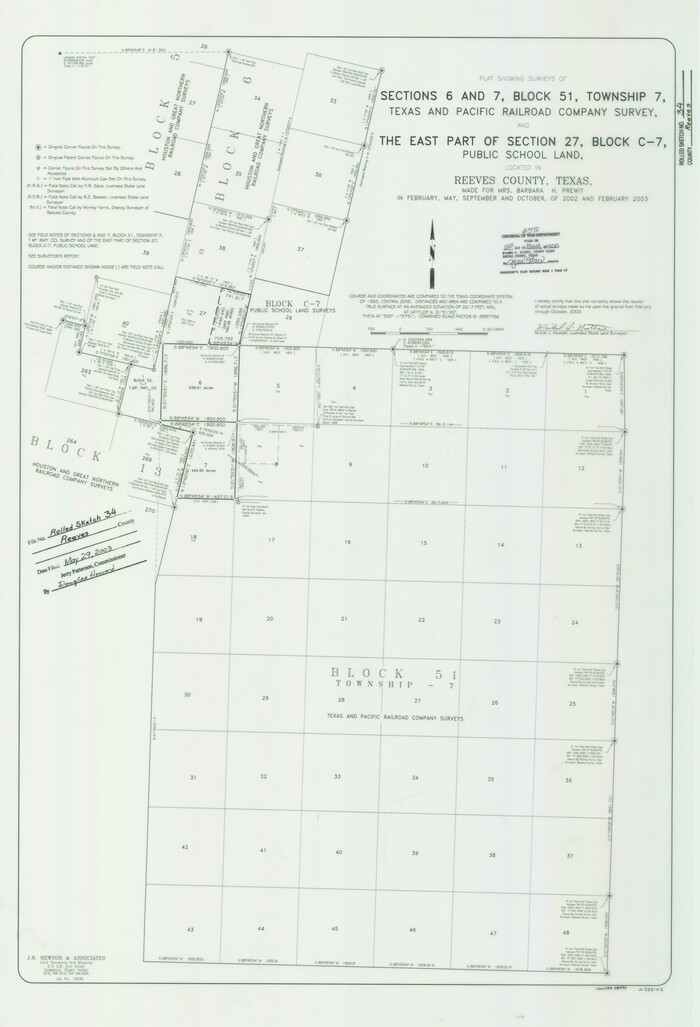

Print $20.00
- Digital $50.00
Reeves County Rolled Sketch 34
Size 35.4 x 24.1 inches
Map/Doc 78490
Jim Hogg County Rolled Sketch 5
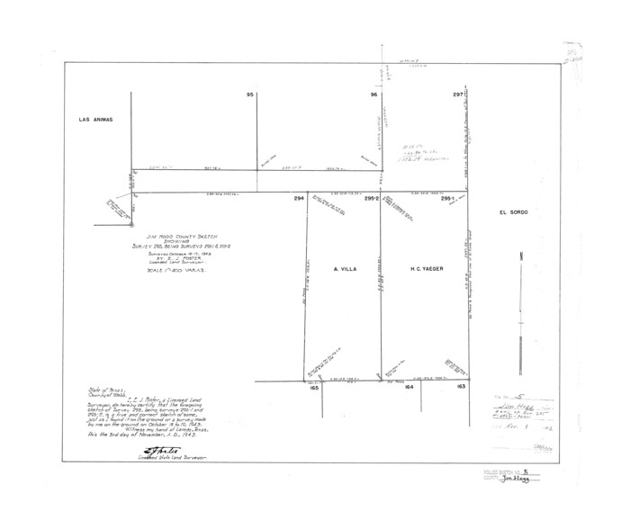

Print $20.00
- Digital $50.00
Jim Hogg County Rolled Sketch 5
1943
Size 19.9 x 24.1 inches
Map/Doc 6441
Brooks County Rolled Sketch 17


Print $20.00
- Digital $50.00
Brooks County Rolled Sketch 17
1941
Size 30.8 x 36.5 inches
Map/Doc 8532
General Chart of the Coast No. XXI Gulf Coast from Galveston to the Rio Grande


Print $20.00
- Digital $50.00
General Chart of the Coast No. XXI Gulf Coast from Galveston to the Rio Grande
1883
Size 26.7 x 18.2 inches
Map/Doc 72727
Shaw Farm, State Prison Farm, Bowie County


Print $20.00
- Digital $50.00
Shaw Farm, State Prison Farm, Bowie County
Size 16.1 x 17.9 inches
Map/Doc 73559
Palo Pinto County Boundary File 1


Print $4.00
- Digital $50.00
Palo Pinto County Boundary File 1
Size 12.8 x 8.4 inches
Map/Doc 57789
![91442, [Leagues 218, 219, 226, 222, 223, 228, and 229], Twichell Survey Records](https://historictexasmaps.com/wmedia_w1800h1800/maps/91442-1.tif.jpg)