S/L Blk. 42 & H&TC Pt. of W/L[Sketch showing H. & T. C. Blocks 42 and 46]
197-9
-
Map/Doc
91765
-
Collection
Twichell Survey Records
-
Counties
Roberts
-
Height x Width
35.2 x 19.3 inches
89.4 x 49.0 cm
Part of: Twichell Survey Records
[Sutton County School Land and vicinity]
![92477, [Sutton County School Land and vicinity], Twichell Survey Records](https://historictexasmaps.com/wmedia_w700/maps/92477-1.tif.jpg)
![92477, [Sutton County School Land and vicinity], Twichell Survey Records](https://historictexasmaps.com/wmedia_w700/maps/92477-1.tif.jpg)
Print $20.00
- Digital $50.00
[Sutton County School Land and vicinity]
Size 21.0 x 34.3 inches
Map/Doc 92477
[Various County School Land Leagues]
![89849, [Various County School Land Leagues], Twichell Survey Records](https://historictexasmaps.com/wmedia_w700/maps/89849-1.tif.jpg)
![89849, [Various County School Land Leagues], Twichell Survey Records](https://historictexasmaps.com/wmedia_w700/maps/89849-1.tif.jpg)
Print $40.00
- Digital $50.00
[Various County School Land Leagues]
Size 55.7 x 41.4 inches
Map/Doc 89849
[Part of Eastern Texas RR. Co. Block 1]
![91920, [Part of Eastern Texas RR. Co. Block 1], Twichell Survey Records](https://historictexasmaps.com/wmedia_w700/maps/91920-1.tif.jpg)
![91920, [Part of Eastern Texas RR. Co. Block 1], Twichell Survey Records](https://historictexasmaps.com/wmedia_w700/maps/91920-1.tif.jpg)
Print $20.00
- Digital $50.00
[Part of Eastern Texas RR. Co. Block 1]
Size 35.7 x 15.6 inches
Map/Doc 91920
[T. C. & S. F. Block K11, Capitol Leagues 367, 373, 374, and Blocks D and B]
![90542, [T. C. & S. F. Block K11, Capitol Leagues 367, 373, 374, and Blocks D and B], Twichell Survey Records](https://historictexasmaps.com/wmedia_w700/maps/90542-1.tif.jpg)
![90542, [T. C. & S. F. Block K11, Capitol Leagues 367, 373, 374, and Blocks D and B], Twichell Survey Records](https://historictexasmaps.com/wmedia_w700/maps/90542-1.tif.jpg)
Print $3.00
- Digital $50.00
[T. C. & S. F. Block K11, Capitol Leagues 367, 373, 374, and Blocks D and B]
Size 9.8 x 13.5 inches
Map/Doc 90542
[Sketch showing H. & G. N. Block A on the north side of the Canadian River and H. & T. C. Block 46 on the south side of the Canadian River]
![91763, [Sketch showing H. & G. N. Block A on the north side of the Canadian River and H. & T. C. Block 46 on the south side of the Canadian River], Twichell Survey Records](https://historictexasmaps.com/wmedia_w700/maps/91763-1.tif.jpg)
![91763, [Sketch showing H. & G. N. Block A on the north side of the Canadian River and H. & T. C. Block 46 on the south side of the Canadian River], Twichell Survey Records](https://historictexasmaps.com/wmedia_w700/maps/91763-1.tif.jpg)
Print $20.00
- Digital $50.00
[Sketch showing H. & G. N. Block A on the north side of the Canadian River and H. & T. C. Block 46 on the south side of the Canadian River]
1927
Size 25.1 x 11.2 inches
Map/Doc 91763
Conoco Official Road Map New Mexico


Print $20.00
- Digital $50.00
Conoco Official Road Map New Mexico
1934
Size 18.5 x 24.5 inches
Map/Doc 92437
[Land on East Side of Creek, Exhibit G]
![91372, [Land on East Side of Creek, Exhibit G], Twichell Survey Records](https://historictexasmaps.com/wmedia_w700/maps/91372-1.tif.jpg)
![91372, [Land on East Side of Creek, Exhibit G], Twichell Survey Records](https://historictexasmaps.com/wmedia_w700/maps/91372-1.tif.jpg)
Print $20.00
- Digital $50.00
[Land on East Side of Creek, Exhibit G]
Size 19.4 x 29.6 inches
Map/Doc 91372
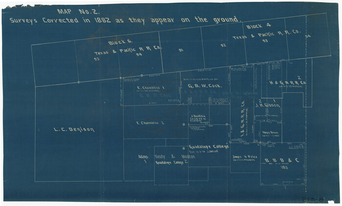
Map No. 2 - Surveys Corrected in 1882 as they appear on the ground

Print $20.00
- Digital $50.00
Map No. 2 - Surveys Corrected in 1882 as they appear on the ground
Size 30.8 x 18.5 inches
Map/Doc 91891
[Northeast 1/4 County]
![90876, [Northeast 1/4 County], Twichell Survey Records](https://historictexasmaps.com/wmedia_w700/maps/90876-2.tif.jpg)
![90876, [Northeast 1/4 County], Twichell Survey Records](https://historictexasmaps.com/wmedia_w700/maps/90876-2.tif.jpg)
Print $20.00
- Digital $50.00
[Northeast 1/4 County]
Size 11.9 x 20.3 inches
Map/Doc 90876
Map of a Part of Lea County, New Mexico


Print $40.00
- Digital $50.00
Map of a Part of Lea County, New Mexico
Size 60.5 x 42.0 inches
Map/Doc 89910
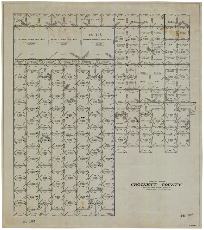
Working Sketch Crockett County

Print $20.00
- Digital $50.00
Working Sketch Crockett County
1924
Size 31.2 x 35.1 inches
Map/Doc 92608
Littlefield, being a part of League 664, Lamb County, Texas


Print $20.00
- Digital $50.00
Littlefield, being a part of League 664, Lamb County, Texas
1912
Size 30.5 x 16.9 inches
Map/Doc 92150
You may also like
General Highway Map. Detail of Cities and Towns in Lubbock County, Texas [Lubbock and vicinity]
![79181, General Highway Map. Detail of Cities and Towns in Lubbock County, Texas [Lubbock and vicinity], Texas State Library and Archives](https://historictexasmaps.com/wmedia_w700/maps/79181.tif.jpg)
![79181, General Highway Map. Detail of Cities and Towns in Lubbock County, Texas [Lubbock and vicinity], Texas State Library and Archives](https://historictexasmaps.com/wmedia_w700/maps/79181.tif.jpg)
Print $20.00
General Highway Map. Detail of Cities and Towns in Lubbock County, Texas [Lubbock and vicinity]
1940
Size 18.3 x 24.8 inches
Map/Doc 79181
Township No. 5 South Range No. 15 West, Indian Meridian, Oklahoma


Print $4.00
- Digital $50.00
Township No. 5 South Range No. 15 West, Indian Meridian, Oklahoma
1927
Size 18.2 x 23.9 inches
Map/Doc 75136
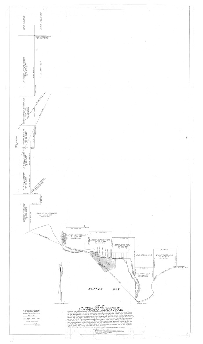
San Patricio County Rolled Sketch 30 & 30A

Print $20.00
- Digital $50.00
San Patricio County Rolled Sketch 30 & 30A
1941
Size 47.1 x 27.9 inches
Map/Doc 9896
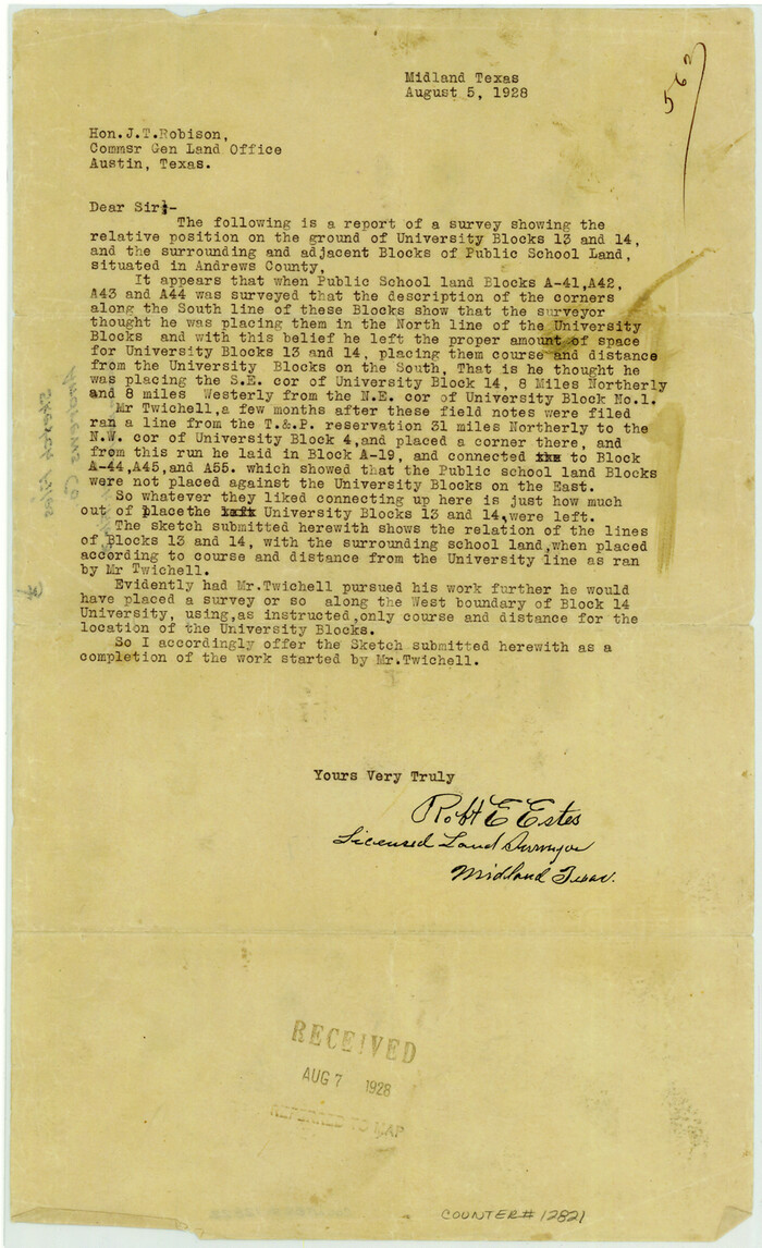
Andrews County Sketch File 3

Print $46.00
- Digital $50.00
Andrews County Sketch File 3
1928
Size 33.0 x 36.6 inches
Map/Doc 10317
Montague County Sketch File 20


Print $42.00
- Digital $50.00
Montague County Sketch File 20
1923
Size 34.6 x 19.8 inches
Map/Doc 12106
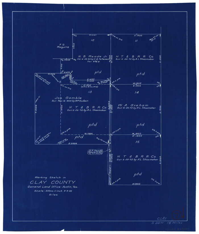
Clay County Working Sketch 7

Print $20.00
- Digital $50.00
Clay County Working Sketch 7
Size 17.5 x 14.7 inches
Map/Doc 68030
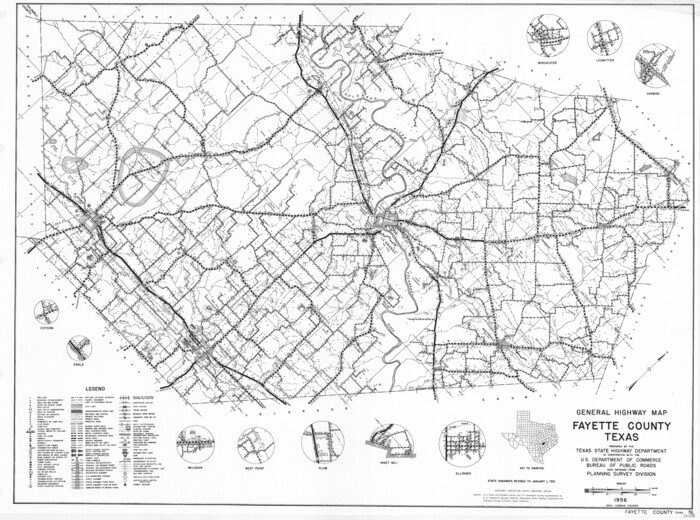
General Highway Map, Fayette County, Texas

Print $20.00
General Highway Map, Fayette County, Texas
1961
Size 18.2 x 24.5 inches
Map/Doc 79465
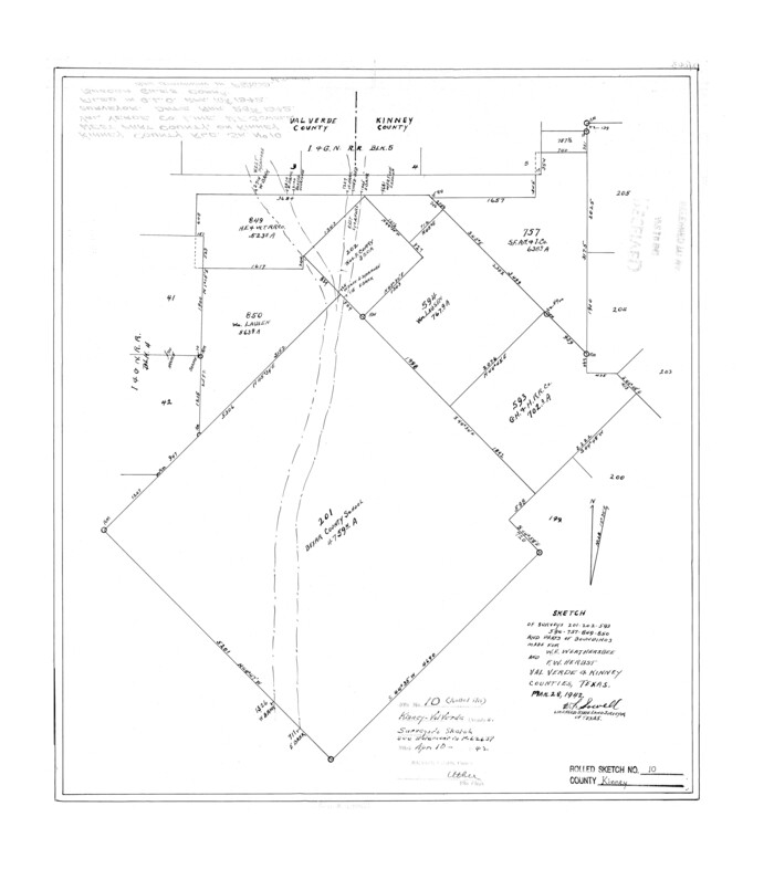
Kinney County Rolled Sketch 10

Print $20.00
- Digital $50.00
Kinney County Rolled Sketch 10
1942
Size 22.9 x 20.4 inches
Map/Doc 6539
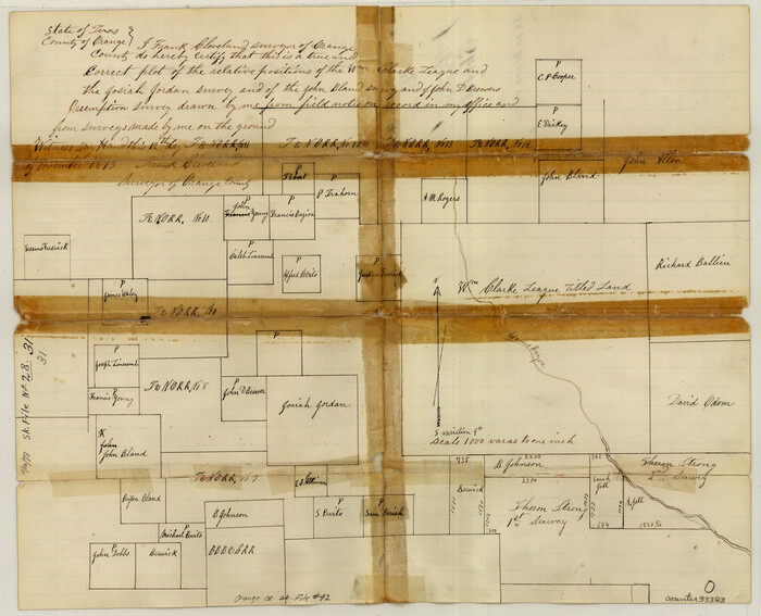
Orange County Sketch File 42

Print $40.00
- Digital $50.00
Orange County Sketch File 42
1873
Size 12.8 x 15.8 inches
Map/Doc 33383
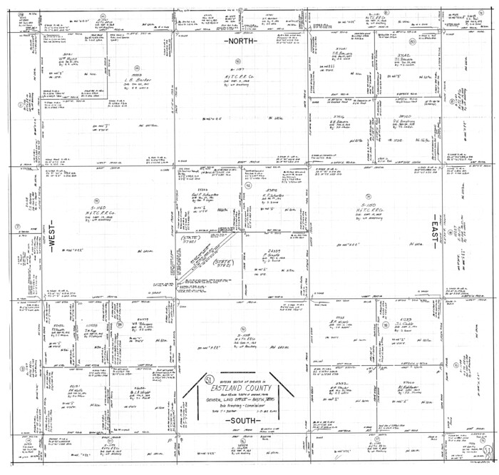
Eastland County Working Sketch 51

Print $20.00
- Digital $50.00
Eastland County Working Sketch 51
1982
Size 37.7 x 39.6 inches
Map/Doc 68832
[State Capitol Lands]
![91650, [State Capitol Lands], Twichell Survey Records](https://historictexasmaps.com/wmedia_w700/maps/91650-1.tif.jpg)
![91650, [State Capitol Lands], Twichell Survey Records](https://historictexasmaps.com/wmedia_w700/maps/91650-1.tif.jpg)
Print $20.00
- Digital $50.00
[State Capitol Lands]
1902
Size 33.1 x 29.3 inches
Map/Doc 91650
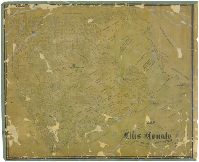
Map of Ellis County

Print $40.00
- Digital $50.00
Map of Ellis County
1889
Size 39.2 x 48.1 inches
Map/Doc 4712
![91765, S/L Blk. 42 & H&TC Pt. of W/L[Sketch showing H. & T. C. Blocks 42 and 46], Twichell Survey Records](https://historictexasmaps.com/wmedia_w1800h1800/maps/91765-1.tif.jpg)