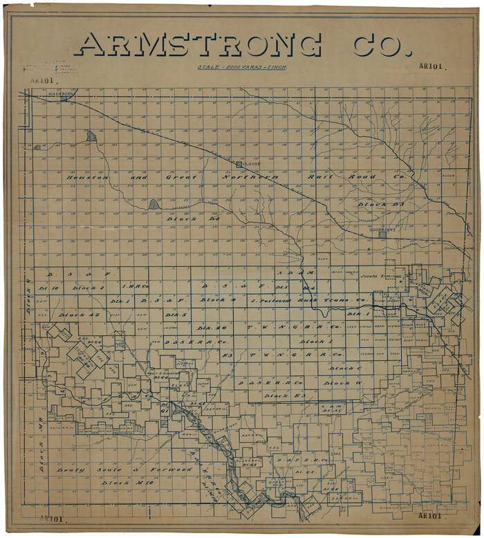
[Ector County Line Descriptions]
EX103
-
Map/Doc
92636
-
Collection
Twichell Survey Records
-
Counties
El Paso Fisher Floyd
-
Height x Width
37.2 x 44.2 inches
94.5 x 112.3 cm
-
Medium
paper
Part of: Twichell Survey Records
[Blocks JK, JK4, JD, A1, and A2]
![90748, [Blocks JK, JK4, JD, A1, and A2], Twichell Survey Records](https://historictexasmaps.com/wmedia_w700/maps/90748-1.tif.jpg)
![90748, [Blocks JK, JK4, JD, A1, and A2], Twichell Survey Records](https://historictexasmaps.com/wmedia_w700/maps/90748-1.tif.jpg)
Print $20.00
- Digital $50.00
[Blocks JK, JK4, JD, A1, and A2]
Size 12.5 x 28.8 inches
Map/Doc 90748
[George Gentry, Wm. Williams, and surrounding surveys]
![90973, [George Gentry, Wm. Williams, and surrounding surveys], Twichell Survey Records](https://historictexasmaps.com/wmedia_w700/maps/90973-1.tif.jpg)
![90973, [George Gentry, Wm. Williams, and surrounding surveys], Twichell Survey Records](https://historictexasmaps.com/wmedia_w700/maps/90973-1.tif.jpg)
Print $2.00
- Digital $50.00
[George Gentry, Wm. Williams, and surrounding surveys]
Size 8.3 x 12.6 inches
Map/Doc 90973
[Sections 58-63, I. & G. N. Block 1 and adjacent area]
![91614, [Sections 58-63, I. & G. N. Block 1 and adjacent area], Twichell Survey Records](https://historictexasmaps.com/wmedia_w700/maps/91614-1.tif.jpg)
![91614, [Sections 58-63, I. & G. N. Block 1 and adjacent area], Twichell Survey Records](https://historictexasmaps.com/wmedia_w700/maps/91614-1.tif.jpg)
Print $20.00
- Digital $50.00
[Sections 58-63, I. & G. N. Block 1 and adjacent area]
Size 21.3 x 14.4 inches
Map/Doc 91614
[H. & G. N. Block 1]
![90942, [H. & G. N. Block 1], Twichell Survey Records](https://historictexasmaps.com/wmedia_w700/maps/90942-1.tif.jpg)
![90942, [H. & G. N. Block 1], Twichell Survey Records](https://historictexasmaps.com/wmedia_w700/maps/90942-1.tif.jpg)
Print $20.00
- Digital $50.00
[H. & G. N. Block 1]
1873
Size 14.3 x 17.6 inches
Map/Doc 90942
[Sketch of sections 33 and 34]
![91574, [Sketch of sections 33 and 34], Twichell Survey Records](https://historictexasmaps.com/wmedia_w700/maps/91574-1.tif.jpg)
![91574, [Sketch of sections 33 and 34], Twichell Survey Records](https://historictexasmaps.com/wmedia_w700/maps/91574-1.tif.jpg)
Print $2.00
- Digital $50.00
[Sketch of sections 33 and 34]
Size 5.1 x 8.8 inches
Map/Doc 91574
Sketch Showing Lands Conveyed to Texas State Park Board by the City of Lubbock, Texas for the Location of MacKenzie State Park


Print $20.00
- Digital $50.00
Sketch Showing Lands Conveyed to Texas State Park Board by the City of Lubbock, Texas for the Location of MacKenzie State Park
1935
Size 26.4 x 33.1 inches
Map/Doc 92724
[Part of T. & N. O. RR. Co Block 2 and area around Jasper Hays survey]
![90850, [Part of T. & N. O. RR. Co Block 2 and area around Jasper Hays survey], Twichell Survey Records](https://historictexasmaps.com/wmedia_w700/maps/90850-2.tif.jpg)
![90850, [Part of T. & N. O. RR. Co Block 2 and area around Jasper Hays survey], Twichell Survey Records](https://historictexasmaps.com/wmedia_w700/maps/90850-2.tif.jpg)
Print $20.00
- Digital $50.00
[Part of T. & N. O. RR. Co Block 2 and area around Jasper Hays survey]
1907
Size 13.3 x 28.4 inches
Map/Doc 90850
Conoco Official Road Map New Mexico
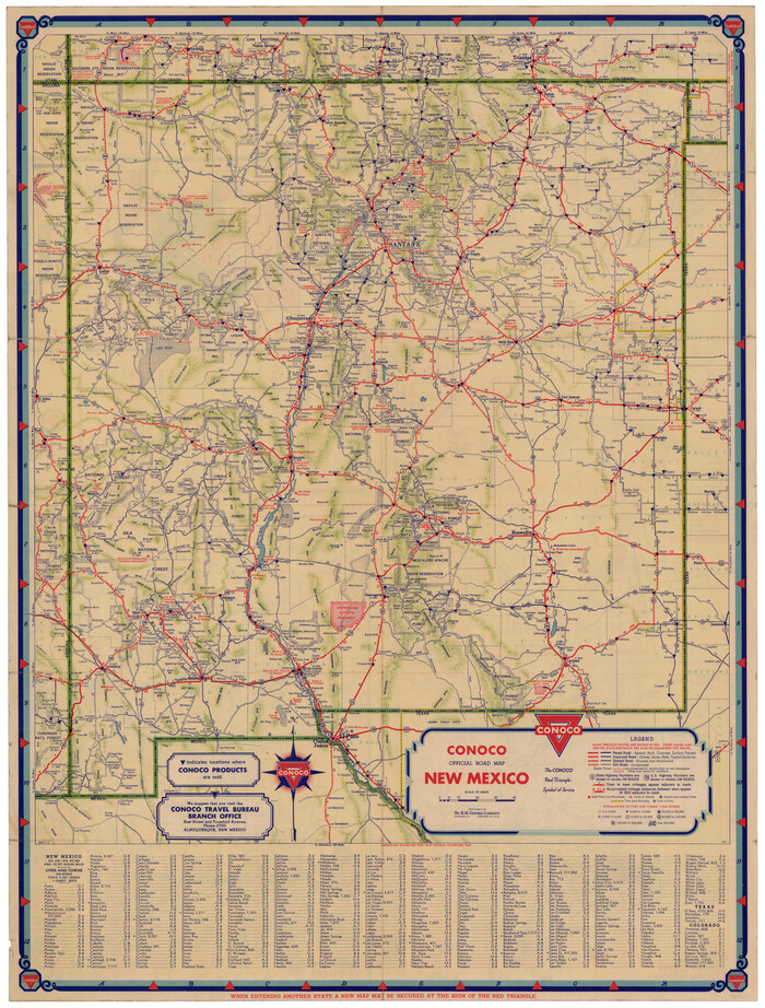

Print $20.00
- Digital $50.00
Conoco Official Road Map New Mexico
1934
Size 18.5 x 24.4 inches
Map/Doc 92436
Sketch in Crockett County [UT Blk. 31, 32, 46, 51, Blks. UV, ST, QR, MN]
![89677, Sketch in Crockett County [UT Blk. 31, 32, 46, 51, Blks. UV, ST, QR, MN], Twichell Survey Records](https://historictexasmaps.com/wmedia_w700/maps/89677-1.tif.jpg)
![89677, Sketch in Crockett County [UT Blk. 31, 32, 46, 51, Blks. UV, ST, QR, MN], Twichell Survey Records](https://historictexasmaps.com/wmedia_w700/maps/89677-1.tif.jpg)
Print $40.00
- Digital $50.00
Sketch in Crockett County [UT Blk. 31, 32, 46, 51, Blks. UV, ST, QR, MN]
1913
Size 33.7 x 48.0 inches
Map/Doc 89677
You may also like
Harris County Sketch File 53


Print $20.00
- Digital $50.00
Harris County Sketch File 53
1914
Size 15.9 x 12.0 inches
Map/Doc 11654
Bosque County Sketch File 30a
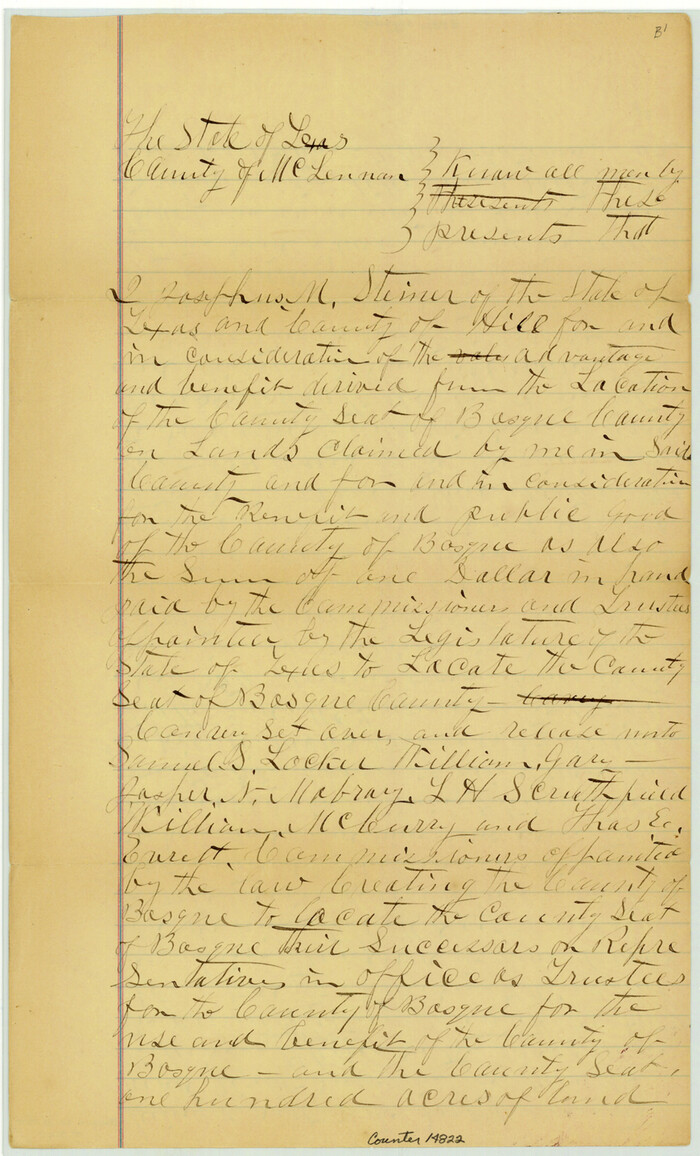

Print $8.00
- Digital $50.00
Bosque County Sketch File 30a
1854
Size 14.4 x 8.7 inches
Map/Doc 14822
Colorado County Sketch File 19

Print $4.00
- Digital $50.00
Colorado County Sketch File 19
Size 9.1 x 7.5 inches
Map/Doc 18952
Flight Mission No. BQR-13K, Frame 123, Brazoria County
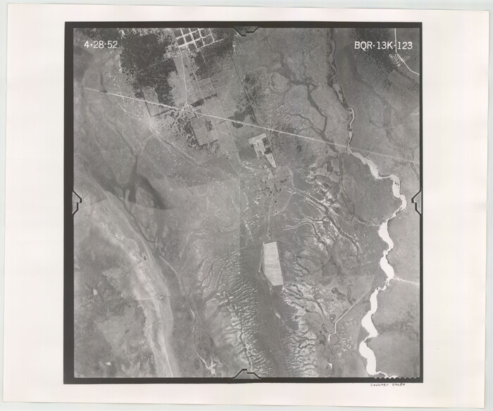

Print $20.00
- Digital $50.00
Flight Mission No. BQR-13K, Frame 123, Brazoria County
1952
Size 18.7 x 22.4 inches
Map/Doc 84084
Current Miscellaneous File 85
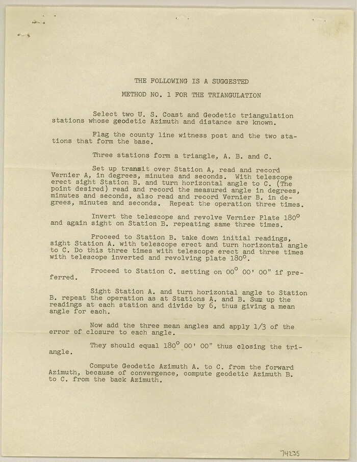

Print $10.00
- Digital $50.00
Current Miscellaneous File 85
Size 11.3 x 8.8 inches
Map/Doc 74235
[Sketch of Blocks C2, C, D7, A, RG and San Augustine County School Land]
![93021, [Sketch of Blocks C2, C, D7, A, RG and San Augustine County School Land], Twichell Survey Records](https://historictexasmaps.com/wmedia_w700/maps/93021-1.tif.jpg)
![93021, [Sketch of Blocks C2, C, D7, A, RG and San Augustine County School Land], Twichell Survey Records](https://historictexasmaps.com/wmedia_w700/maps/93021-1.tif.jpg)
Print $20.00
- Digital $50.00
[Sketch of Blocks C2, C, D7, A, RG and San Augustine County School Land]
Size 15.5 x 25.8 inches
Map/Doc 93021
Registro de las de los documentos y títulos espedidos en la primera empresa de colonización del empresario Estevan F. Austin en Tejas (1827)

Registro de las de los documentos y títulos espedidos en la primera empresa de colonización del empresario Estevan F. Austin en Tejas (1827)
1827
Size 18.9 x 13.8 inches
Map/Doc 94248
Galveston County Boundary File 32a
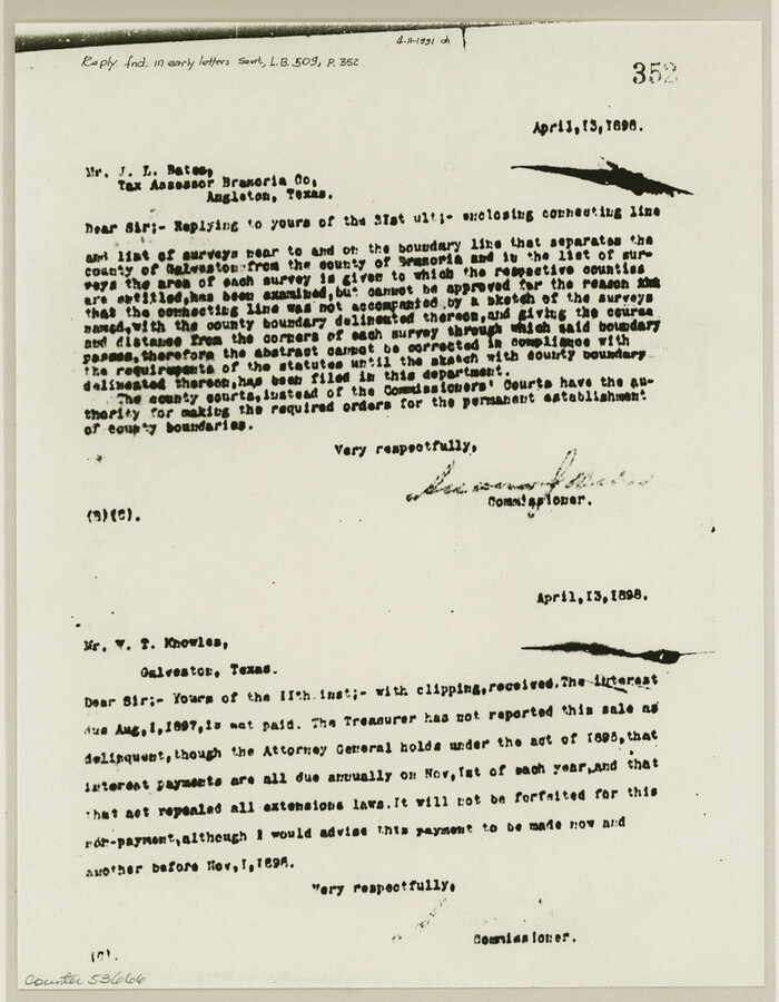

Print $10.00
- Digital $50.00
Galveston County Boundary File 32a
Size 11.4 x 8.9 inches
Map/Doc 53666
Val Verde County Rolled Sketch 66


Print $40.00
- Digital $50.00
Val Verde County Rolled Sketch 66
1957
Size 30.7 x 55.0 inches
Map/Doc 10084
Maverick County Working Sketch 23
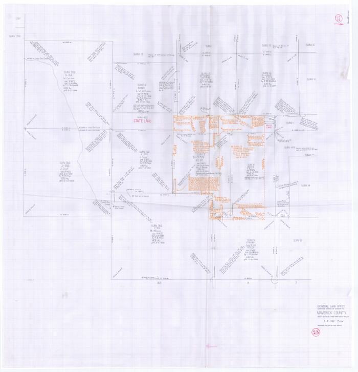

Print $20.00
- Digital $50.00
Maverick County Working Sketch 23
1985
Size 37.8 x 36.4 inches
Map/Doc 70915
[Surveys in the vicinity of Falls County School Land]
![90168, [Surveys in the vicinity of Falls County School Land], Twichell Survey Records](https://historictexasmaps.com/wmedia_w700/maps/90168-1.tif.jpg)
![90168, [Surveys in the vicinity of Falls County School Land], Twichell Survey Records](https://historictexasmaps.com/wmedia_w700/maps/90168-1.tif.jpg)
Print $20.00
- Digital $50.00
[Surveys in the vicinity of Falls County School Land]
Size 32.5 x 37.1 inches
Map/Doc 90168
![92636, [Ector County Line Descriptions], Twichell Survey Records](https://historictexasmaps.com/wmedia_w1800h1800/maps/92636-1.tif.jpg)
