[Hockley, Lubbock, Terry and Lynn Corner]
-
Map/Doc
92889
-
Collection
Twichell Survey Records
-
People and Organizations
N.K. Smith (Surveyor/Engineer)
-
Counties
Hockley Lubbock Terry Lynn
-
Height x Width
17.6 x 15.6 inches
44.7 x 39.6 cm
Part of: Twichell Survey Records
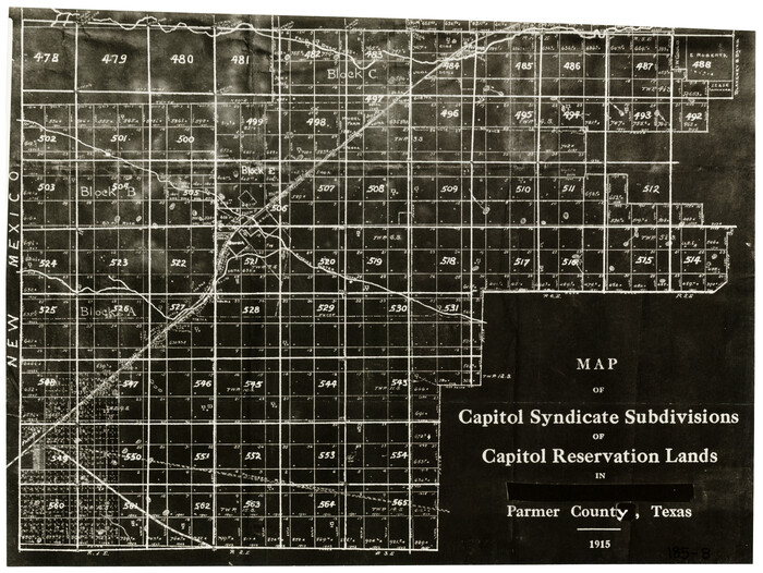
Map of Capitol Syndicate Subdivisions of Capitol Reservation Lands in Parmer County, Texas

Print $20.00
- Digital $50.00
Map of Capitol Syndicate Subdivisions of Capitol Reservation Lands in Parmer County, Texas
1915
Size 17.7 x 13.2 inches
Map/Doc 91553
[Sketch from Paul McCombs Map of 1884, showing T. & P. Township 5, Block 60, Township 6, Block 59, and Township 7, Blocks 59 and 60]
![91774, [Sketch from Paul McCombs Map of 1884, showing T. & P. Township 5, Block 60, Township 6, Block 59, and Township 7, Blocks 59 and 60], Twichell Survey Records](https://historictexasmaps.com/wmedia_w700/maps/91774-1.tif.jpg)
![91774, [Sketch from Paul McCombs Map of 1884, showing T. & P. Township 5, Block 60, Township 6, Block 59, and Township 7, Blocks 59 and 60], Twichell Survey Records](https://historictexasmaps.com/wmedia_w700/maps/91774-1.tif.jpg)
Print $2.00
- Digital $50.00
[Sketch from Paul McCombs Map of 1884, showing T. & P. Township 5, Block 60, Township 6, Block 59, and Township 7, Blocks 59 and 60]
Size 9.2 x 15.0 inches
Map/Doc 91774
[G. & M. Block 5]
![91793, [G. & M. Block 5], Twichell Survey Records](https://historictexasmaps.com/wmedia_w700/maps/91793-1.tif.jpg)
![91793, [G. & M. Block 5], Twichell Survey Records](https://historictexasmaps.com/wmedia_w700/maps/91793-1.tif.jpg)
Print $20.00
- Digital $50.00
[G. & M. Block 5]
Size 34.9 x 17.2 inches
Map/Doc 91793
[River Secs. 55-79, Archer County School Land League 3 and surrounding surveys]
![90472, [River Secs. 55-79, Archer County School Land League 3 and surrounding surveys], Twichell Survey Records](https://historictexasmaps.com/wmedia_w700/maps/90472-1.tif.jpg)
![90472, [River Secs. 55-79, Archer County School Land League 3 and surrounding surveys], Twichell Survey Records](https://historictexasmaps.com/wmedia_w700/maps/90472-1.tif.jpg)
Print $20.00
- Digital $50.00
[River Secs. 55-79, Archer County School Land League 3 and surrounding surveys]
Size 28.3 x 20.4 inches
Map/Doc 90472
[Blocks M-22, M-25 and vicinity]
![91235, [Blocks M-22, M-25 and vicinity], Twichell Survey Records](https://historictexasmaps.com/wmedia_w700/maps/91235-1.tif.jpg)
![91235, [Blocks M-22, M-25 and vicinity], Twichell Survey Records](https://historictexasmaps.com/wmedia_w700/maps/91235-1.tif.jpg)
Print $20.00
- Digital $50.00
[Blocks M-22, M-25 and vicinity]
Size 27.4 x 25.2 inches
Map/Doc 91235
[University Lands Blocks 16-18]
![91568, [University Lands Blocks 16-18], Twichell Survey Records](https://historictexasmaps.com/wmedia_w700/maps/91568-1.tif.jpg)
![91568, [University Lands Blocks 16-18], Twichell Survey Records](https://historictexasmaps.com/wmedia_w700/maps/91568-1.tif.jpg)
Print $20.00
- Digital $50.00
[University Lands Blocks 16-18]
Size 18.5 x 12.7 inches
Map/Doc 91568
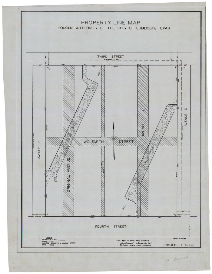
Property Line Map, Housing Authority of the City of Lubbock, Texas

Print $20.00
- Digital $50.00
Property Line Map, Housing Authority of the City of Lubbock, Texas
1946
Size 19.4 x 25.4 inches
Map/Doc 92777
[Blocks S1, O6, O, A1, A2, A3, A4, JK, JK2, JK4, and JD]
![90658, [Blocks S1, O6, O, A1, A2, A3, A4, JK, JK2, JK4, and JD], Twichell Survey Records](https://historictexasmaps.com/wmedia_w700/maps/90658-1.tif.jpg)
![90658, [Blocks S1, O6, O, A1, A2, A3, A4, JK, JK2, JK4, and JD], Twichell Survey Records](https://historictexasmaps.com/wmedia_w700/maps/90658-1.tif.jpg)
Print $20.00
- Digital $50.00
[Blocks S1, O6, O, A1, A2, A3, A4, JK, JK2, JK4, and JD]
Size 20.3 x 21.7 inches
Map/Doc 90658
[Sketch showing H. T. & B. section 126 and B. H. Epperson]
![90932, [Sketch showing H. T. & B. section 126 and B. H. Epperson], Twichell Survey Records](https://historictexasmaps.com/wmedia_w700/maps/90932-1.tif.jpg)
![90932, [Sketch showing H. T. & B. section 126 and B. H. Epperson], Twichell Survey Records](https://historictexasmaps.com/wmedia_w700/maps/90932-1.tif.jpg)
Print $20.00
- Digital $50.00
[Sketch showing H. T. & B. section 126 and B. H. Epperson]
Size 23.9 x 32.5 inches
Map/Doc 90932
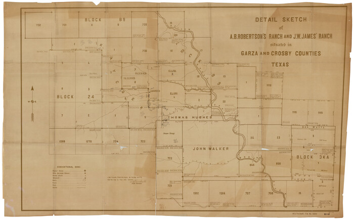
Detail Sketch of A.B. Robertson's Ranch and J.W. James' Ranch situated in Garza and Crosby Counties, Texas

Print $40.00
- Digital $50.00
Detail Sketch of A.B. Robertson's Ranch and J.W. James' Ranch situated in Garza and Crosby Counties, Texas
Size 50.9 x 32.4 inches
Map/Doc 89945
[Sketch to determine conflict between H. & T. C. Blk. 97 and T. & P. Ry. Co. Blk. 30]
![90139, [Sketch to determine conflict between H. & T. C. Blk. 97 and T. & P. Ry. Co. Blk. 30], Twichell Survey Records](https://historictexasmaps.com/wmedia_w700/maps/90139-1.tif.jpg)
![90139, [Sketch to determine conflict between H. & T. C. Blk. 97 and T. & P. Ry. Co. Blk. 30], Twichell Survey Records](https://historictexasmaps.com/wmedia_w700/maps/90139-1.tif.jpg)
Print $20.00
- Digital $50.00
[Sketch to determine conflict between H. & T. C. Blk. 97 and T. & P. Ry. Co. Blk. 30]
1903
Size 19.1 x 26.9 inches
Map/Doc 90139
N. F. Cleavinger


Print $3.00
- Digital $50.00
N. F. Cleavinger
Size 16.5 x 10.6 inches
Map/Doc 92406
You may also like
Maps of Gulf Intracoastal Waterway, Texas - Sabine River to the Rio Grande and connecting waterways including ship channels


Print $20.00
- Digital $50.00
Maps of Gulf Intracoastal Waterway, Texas - Sabine River to the Rio Grande and connecting waterways including ship channels
1966
Size 14.5 x 20.8 inches
Map/Doc 61968
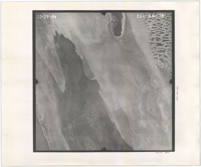
Flight Mission No. CLL-4N, Frame 38, Willacy County

Print $20.00
- Digital $50.00
Flight Mission No. CLL-4N, Frame 38, Willacy County
1954
Size 18.4 x 22.1 inches
Map/Doc 87111
Map Exhibiting the Leading Transportation Lines of the Pacific Coast, prepared for the report of the Chief of the Bureau of Statistics on the internal commerce of the United States
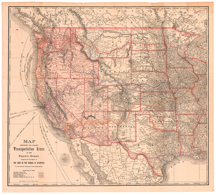

Print $20.00
- Digital $50.00
Map Exhibiting the Leading Transportation Lines of the Pacific Coast, prepared for the report of the Chief of the Bureau of Statistics on the internal commerce of the United States
1887
Size 22.2 x 24.5 inches
Map/Doc 95905
Garza County Sketch File 32
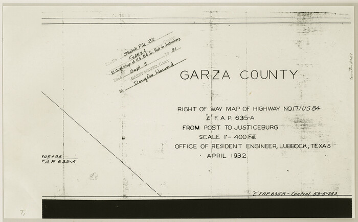

Print $28.00
- Digital $50.00
Garza County Sketch File 32
1932
Size 8.9 x 14.3 inches
Map/Doc 24109
Dimmit County Working Sketch Graphic Index - sheet B
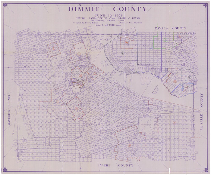

Print $40.00
- Digital $50.00
Dimmit County Working Sketch Graphic Index - sheet B
1976
Size 41.5 x 49.9 inches
Map/Doc 76525
Angelina County Sketch File 23a
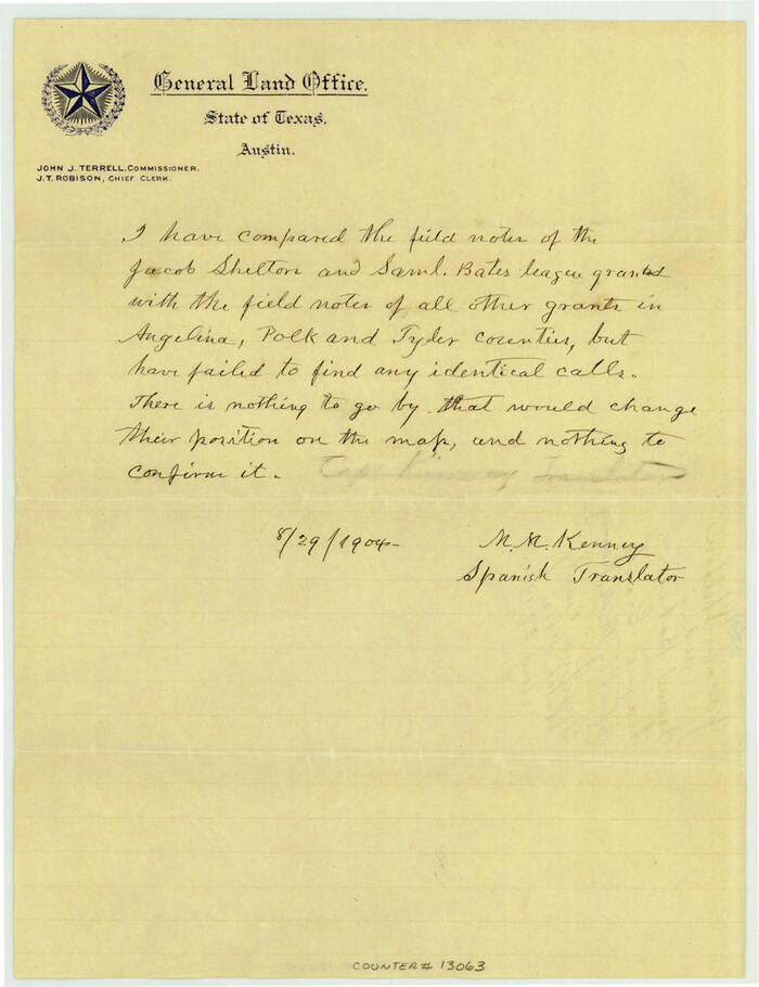

Print $4.00
- Digital $50.00
Angelina County Sketch File 23a
1904
Size 11.2 x 8.6 inches
Map/Doc 13063
Dawson County Working Sketch 18
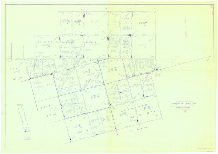

Print $40.00
- Digital $50.00
Dawson County Working Sketch 18
1963
Size 41.2 x 58.3 inches
Map/Doc 68562
Duval County Boundary File 3f


Print $6.00
- Digital $50.00
Duval County Boundary File 3f
Size 8.1 x 5.5 inches
Map/Doc 52744
[Borden County Lines - Description of County Line Markers]
![90215, [Borden County Lines - Description of County Line Markers], Twichell Survey Records](https://historictexasmaps.com/wmedia_w700/maps/90215-1.tif.jpg)
![90215, [Borden County Lines - Description of County Line Markers], Twichell Survey Records](https://historictexasmaps.com/wmedia_w700/maps/90215-1.tif.jpg)
Print $3.00
- Digital $50.00
[Borden County Lines - Description of County Line Markers]
Size 14.4 x 10.1 inches
Map/Doc 90215
Calhoun County Working Sketch 6
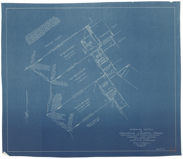

Print $20.00
- Digital $50.00
Calhoun County Working Sketch 6
1943
Size 20.8 x 24.1 inches
Map/Doc 67822
The Republic County of Gonzales. May 24, 1838
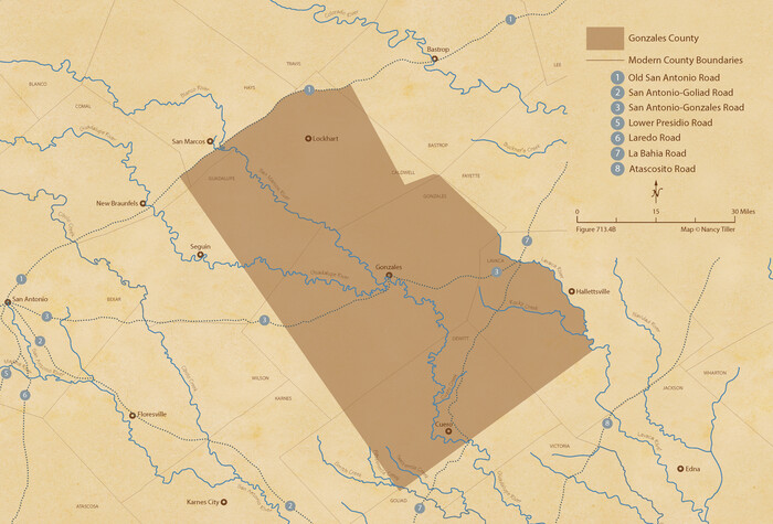

Print $20.00
The Republic County of Gonzales. May 24, 1838
2020
Size 14.7 x 21.7 inches
Map/Doc 96156
Coleman County Sketch File 41
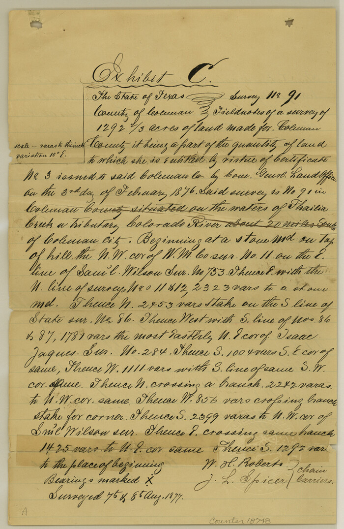

Print $32.00
- Digital $50.00
Coleman County Sketch File 41
Size 12.8 x 8.4 inches
Map/Doc 18748
![92889, [Hockley, Lubbock, Terry and Lynn Corner], Twichell Survey Records](https://historictexasmaps.com/wmedia_w1800h1800/maps/92889-1.tif.jpg)