[Townships 1 & 2, Blocks 56, 57]
-
Map/Doc
92927
-
Collection
Twichell Survey Records
-
Counties
Loving Reeves
-
Height x Width
19.7 x 22.8 inches
50.0 x 57.9 cm
Part of: Twichell Survey Records
[Part of Connected map of Stephen F. Austin's Colony on file at the GLO]
![90208, [Part of Connected map of Stephen F. Austin's Colony on file at the GLO], Twichell Survey Records](https://historictexasmaps.com/wmedia_w700/maps/90208-1.tif.jpg)
![90208, [Part of Connected map of Stephen F. Austin's Colony on file at the GLO], Twichell Survey Records](https://historictexasmaps.com/wmedia_w700/maps/90208-1.tif.jpg)
Print $20.00
- Digital $50.00
[Part of Connected map of Stephen F. Austin's Colony on file at the GLO]
1923
Size 18.8 x 18.2 inches
Map/Doc 90208
[H. & T. C. 46, Sections 79- 84]
![91262, [H. & T. C. 46, Sections 79- 84], Twichell Survey Records](https://historictexasmaps.com/wmedia_w700/maps/91262-1.tif.jpg)
![91262, [H. & T. C. 46, Sections 79- 84], Twichell Survey Records](https://historictexasmaps.com/wmedia_w700/maps/91262-1.tif.jpg)
Print $20.00
- Digital $50.00
[H. & T. C. 46, Sections 79- 84]
Size 27.3 x 32.6 inches
Map/Doc 91262
[Blocks 57, 56, 55, 54, 76, 53]
![92928, [Blocks 57, 56, 55, 54, 76, 53], Twichell Survey Records](https://historictexasmaps.com/wmedia_w700/maps/92928-1.tif.jpg)
![92928, [Blocks 57, 56, 55, 54, 76, 53], Twichell Survey Records](https://historictexasmaps.com/wmedia_w700/maps/92928-1.tif.jpg)
Print $20.00
- Digital $50.00
[Blocks 57, 56, 55, 54, 76, 53]
Size 36.6 x 23.1 inches
Map/Doc 92928
[Southwest corner of county covering Blks. 24 and B9]
![90489, [Southwest corner of county covering Blks. 24 and B9], Twichell Survey Records](https://historictexasmaps.com/wmedia_w700/maps/90489-1.tif.jpg)
![90489, [Southwest corner of county covering Blks. 24 and B9], Twichell Survey Records](https://historictexasmaps.com/wmedia_w700/maps/90489-1.tif.jpg)
Print $20.00
- Digital $50.00
[Southwest corner of county covering Blks. 24 and B9]
1905
Size 16.7 x 13.9 inches
Map/Doc 90489
[Blocks A, RG, O, B and 11]
![92861, [Blocks A, RG, O, B and 11], Twichell Survey Records](https://historictexasmaps.com/wmedia_w700/maps/92861-1.tif.jpg)
![92861, [Blocks A, RG, O, B and 11], Twichell Survey Records](https://historictexasmaps.com/wmedia_w700/maps/92861-1.tif.jpg)
Print $20.00
- Digital $50.00
[Blocks A, RG, O, B and 11]
Size 21.0 x 18.1 inches
Map/Doc 92861
[River Sections 58-62 and vicinity]
![91587, [River Sections 58-62 and vicinity], Twichell Survey Records](https://historictexasmaps.com/wmedia_w700/maps/91587-1.tif.jpg)
![91587, [River Sections 58-62 and vicinity], Twichell Survey Records](https://historictexasmaps.com/wmedia_w700/maps/91587-1.tif.jpg)
Print $20.00
- Digital $50.00
[River Sections 58-62 and vicinity]
Size 17.6 x 14.6 inches
Map/Doc 91587
[University Lands Blocks 16-20]
![91628, [University Lands Blocks 16-20], Twichell Survey Records](https://historictexasmaps.com/wmedia_w700/maps/91628-1.tif.jpg)
![91628, [University Lands Blocks 16-20], Twichell Survey Records](https://historictexasmaps.com/wmedia_w700/maps/91628-1.tif.jpg)
Print $3.00
- Digital $50.00
[University Lands Blocks 16-20]
Size 14.5 x 11.2 inches
Map/Doc 91628
Resurvey of the Original Townsite of Sundown Hockley County, Texas


Print $20.00
- Digital $50.00
Resurvey of the Original Townsite of Sundown Hockley County, Texas
Size 21.7 x 40.3 inches
Map/Doc 92234
[Township 3 North, Blocks 31 and 32, T. & P. RR. Company]
![92621, [Township 3 North, Blocks 31 and 32, T. & P. RR. Company], Twichell Survey Records](https://historictexasmaps.com/wmedia_w700/maps/92621-1.tif.jpg)
![92621, [Township 3 North, Blocks 31 and 32, T. & P. RR. Company], Twichell Survey Records](https://historictexasmaps.com/wmedia_w700/maps/92621-1.tif.jpg)
Print $20.00
- Digital $50.00
[Township 3 North, Blocks 31 and 32, T. & P. RR. Company]
Size 21.7 x 16.3 inches
Map/Doc 92621
[Blocks 16, O, N, B19 and 34]
![91958, [Blocks 16, O, N, B19 and 34], Twichell Survey Records](https://historictexasmaps.com/wmedia_w700/maps/91958-1.tif.jpg)
![91958, [Blocks 16, O, N, B19 and 34], Twichell Survey Records](https://historictexasmaps.com/wmedia_w700/maps/91958-1.tif.jpg)
Print $20.00
- Digital $50.00
[Blocks 16, O, N, B19 and 34]
Size 22.5 x 26.1 inches
Map/Doc 91958
[Blocks B-19, B-29, 34 and 5]
![91846, [Blocks B-19, B-29, 34 and 5], Twichell Survey Records](https://historictexasmaps.com/wmedia_w700/maps/91846-1.tif.jpg)
![91846, [Blocks B-19, B-29, 34 and 5], Twichell Survey Records](https://historictexasmaps.com/wmedia_w700/maps/91846-1.tif.jpg)
Print $20.00
- Digital $50.00
[Blocks B-19, B-29, 34 and 5]
1902
Size 12.2 x 16.4 inches
Map/Doc 91846
You may also like
Wichita County Sketch File 33


Print $6.00
- Digital $50.00
Wichita County Sketch File 33
1949
Size 11.0 x 17.0 inches
Map/Doc 40152
Flight Mission No. CGI-3N, Frame 159, Cameron County
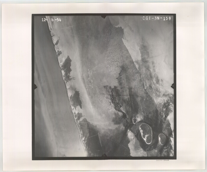

Print $20.00
- Digital $50.00
Flight Mission No. CGI-3N, Frame 159, Cameron County
1954
Size 18.6 x 22.3 inches
Map/Doc 84623
[Drawings of individual counties for Pressler and Langermann's 1879 Map of Texas]
![[Drawings of individual counties for Pressler and Langermann's 1879 Map of Texas]](https://historictexasmaps.com/wmedia_w700/maps/4865.tif.jpg)
![[Drawings of individual counties for Pressler and Langermann's 1879 Map of Texas]](https://historictexasmaps.com/wmedia_w700/maps/4865.tif.jpg)
Print $20.00
- Digital $50.00
[Drawings of individual counties for Pressler and Langermann's 1879 Map of Texas]
1878
Size 27.3 x 38.1 inches
Map/Doc 4865
Mexico and Guatimala
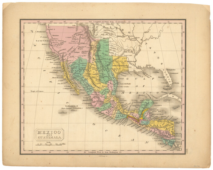

Print $20.00
- Digital $50.00
Mexico and Guatimala
1828
Size 9.9 x 12.4 inches
Map/Doc 97276
Haskell County Working Sketch 3


Print $20.00
- Digital $50.00
Haskell County Working Sketch 3
1920
Size 41.4 x 21.9 inches
Map/Doc 66061
Pecos County Working Sketch 9
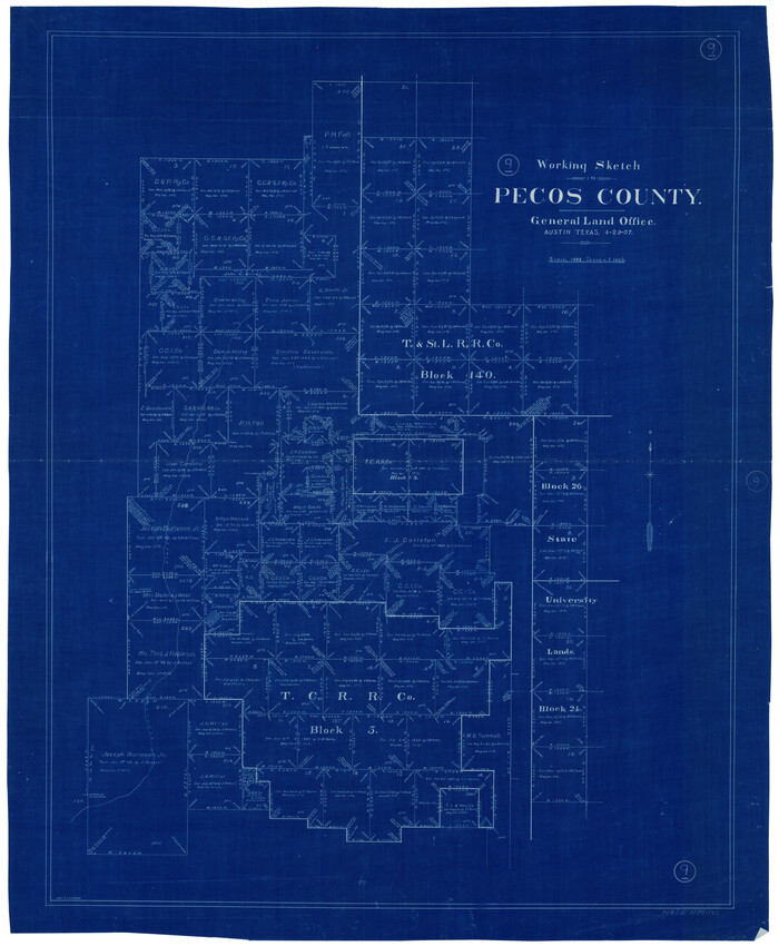

Print $20.00
- Digital $50.00
Pecos County Working Sketch 9
1907
Size 32.4 x 26.7 inches
Map/Doc 71479
Webb County Working Sketch 10
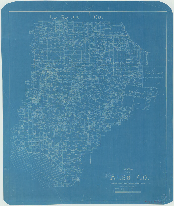

Print $20.00
- Digital $50.00
Webb County Working Sketch 10
1913
Size 23.7 x 20.0 inches
Map/Doc 72375
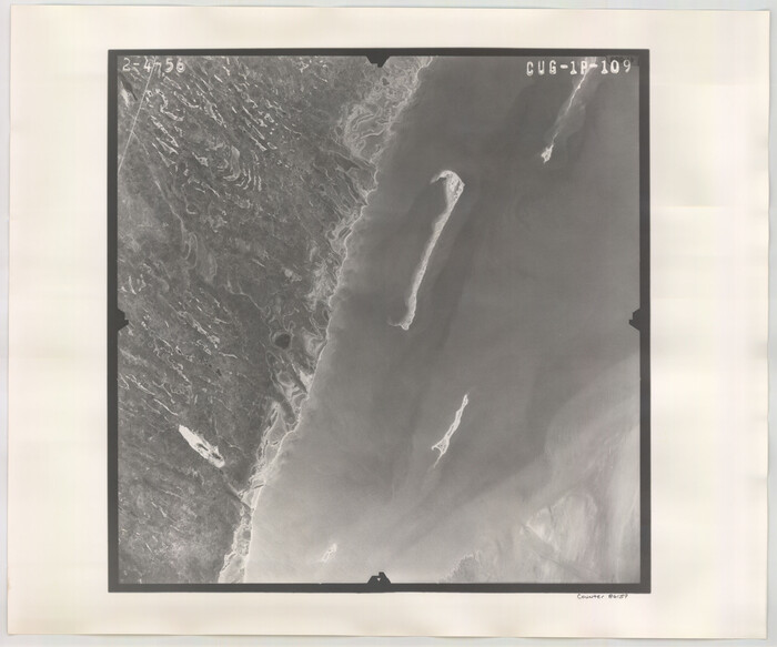
Flight Mission No. CUG-1P, Frame 109, Kleberg County

Print $20.00
- Digital $50.00
Flight Mission No. CUG-1P, Frame 109, Kleberg County
1956
Size 18.6 x 22.3 inches
Map/Doc 86159
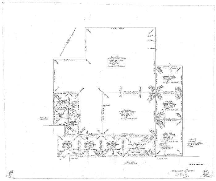
Runnels County Working Sketch 12

Print $20.00
- Digital $50.00
Runnels County Working Sketch 12
1950
Size 27.7 x 33.0 inches
Map/Doc 63608
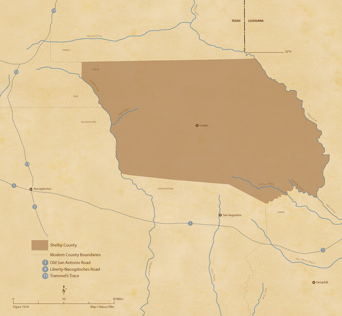
The Republic County of Shelby. December 29, 1845

Print $20.00
The Republic County of Shelby. December 29, 1845
2020
Size 20.0 x 21.7 inches
Map/Doc 96288
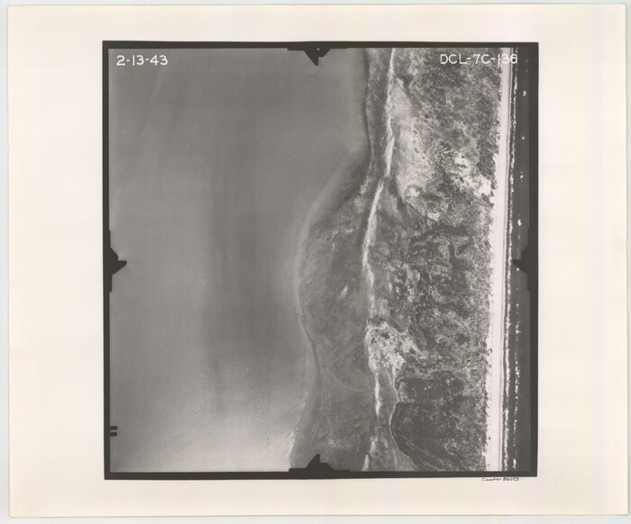
Flight Mission No. DCL-7C, Frame 136, Kenedy County

Print $20.00
- Digital $50.00
Flight Mission No. DCL-7C, Frame 136, Kenedy County
1943
Size 18.6 x 22.3 inches
Map/Doc 86093
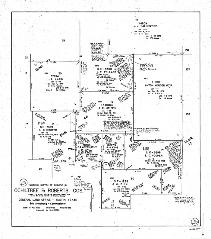
Roberts County Working Sketch 25

Print $20.00
- Digital $50.00
Roberts County Working Sketch 25
1982
Size 23.0 x 20.4 inches
Map/Doc 63551
![92927, [Townships 1 & 2, Blocks 56, 57], Twichell Survey Records](https://historictexasmaps.com/wmedia_w1800h1800/maps/92927-1.tif.jpg)
