[University Lands Blocks 16-20]
186-78
-
Map/Doc
91628
-
Collection
Twichell Survey Records
-
Counties
Pecos
-
Subjects
University Land
-
Height x Width
14.5 x 11.2 inches
36.8 x 28.5 cm
Part of: Twichell Survey Records
[Sketch of sections 33 and 34]
![91575, [Sketch of sections 33 and 34], Twichell Survey Records](https://historictexasmaps.com/wmedia_w700/maps/91575-1.tif.jpg)
![91575, [Sketch of sections 33 and 34], Twichell Survey Records](https://historictexasmaps.com/wmedia_w700/maps/91575-1.tif.jpg)
Print $2.00
- Digital $50.00
[Sketch of sections 33 and 34]
Size 5.0 x 8.7 inches
Map/Doc 91575
[Sketch of Part of B. S. & F. Block 9]
![93094, [Sketch of Part of B. S. & F. Block 9], Twichell Survey Records](https://historictexasmaps.com/wmedia_w700/maps/93094-1.tif.jpg)
![93094, [Sketch of Part of B. S. & F. Block 9], Twichell Survey Records](https://historictexasmaps.com/wmedia_w700/maps/93094-1.tif.jpg)
Print $2.00
- Digital $50.00
[Sketch of Part of B. S. & F. Block 9]
Size 7.9 x 7.9 inches
Map/Doc 93094
Map Prepared from Data by Original Field Book by W.D. Twichell


Print $40.00
- Digital $50.00
Map Prepared from Data by Original Field Book by W.D. Twichell
Size 64.0 x 40.0 inches
Map/Doc 89733
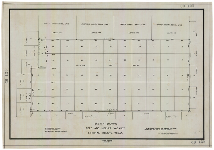
Sketch Showing Reed and Meeker Vacancy, Cochran County, Texas

Print $20.00
- Digital $50.00
Sketch Showing Reed and Meeker Vacancy, Cochran County, Texas
Size 28.9 x 20.3 inches
Map/Doc 92514
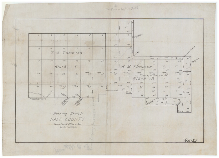
Working Sketch in Hale County

Print $3.00
- Digital $50.00
Working Sketch in Hale County
Size 16.4 x 11.8 inches
Map/Doc 90746
Shackelford County, Map of SE part of Block No. 1, Eastern Texas RR. Co. Survey


Print $20.00
- Digital $50.00
Shackelford County, Map of SE part of Block No. 1, Eastern Texas RR. Co. Survey
Size 19.1 x 19.5 inches
Map/Doc 91899
Hutchinson County Map
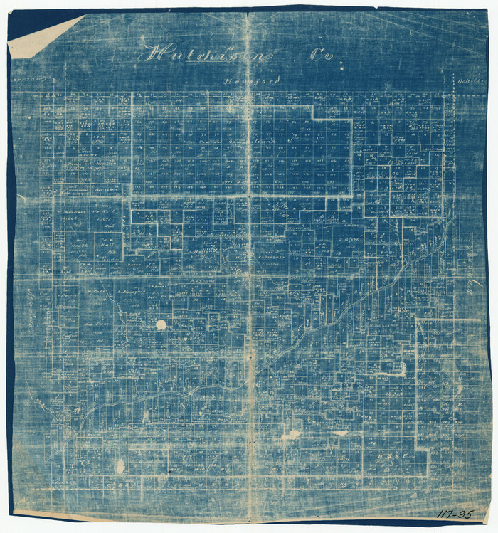

Print $20.00
- Digital $50.00
Hutchinson County Map
Size 18.1 x 19.4 inches
Map/Doc 91185
Evans Subdivision Number 2
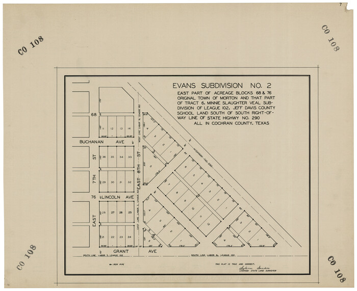

Print $20.00
- Digital $50.00
Evans Subdivision Number 2
Size 23.9 x 19.4 inches
Map/Doc 92497
[H. & T. C. RR. Company, Block 47 and vicinity]
![91157, [H. & T. C. RR. Company, Block 47 and vicinity], Twichell Survey Records](https://historictexasmaps.com/wmedia_w700/maps/91157-1.tif.jpg)
![91157, [H. & T. C. RR. Company, Block 47 and vicinity], Twichell Survey Records](https://historictexasmaps.com/wmedia_w700/maps/91157-1.tif.jpg)
Print $20.00
- Digital $50.00
[H. & T. C. RR. Company, Block 47 and vicinity]
Size 20.7 x 24.3 inches
Map/Doc 91157
[Portion of a sketch showing S.F. 7265]
![90386, [Portion of a sketch showing S.F. 7265], Twichell Survey Records](https://historictexasmaps.com/wmedia_w700/maps/90386-1.tif.jpg)
![90386, [Portion of a sketch showing S.F. 7265], Twichell Survey Records](https://historictexasmaps.com/wmedia_w700/maps/90386-1.tif.jpg)
Print $2.00
- Digital $50.00
[Portion of a sketch showing S.F. 7265]
Size 13.3 x 9.1 inches
Map/Doc 90386
[T. A. Thomson Block T, R. M. Thomson Block 1, and Block B]
![91054, [T. A. Thomson Block T, R. M. Thomson Block 1, and Block B], Twichell Survey Records](https://historictexasmaps.com/wmedia_w700/maps/91054-1.tif.jpg)
![91054, [T. A. Thomson Block T, R. M. Thomson Block 1, and Block B], Twichell Survey Records](https://historictexasmaps.com/wmedia_w700/maps/91054-1.tif.jpg)
Print $20.00
- Digital $50.00
[T. A. Thomson Block T, R. M. Thomson Block 1, and Block B]
Size 17.3 x 20.4 inches
Map/Doc 91054
You may also like
Cameron County Rolled Sketch 20E
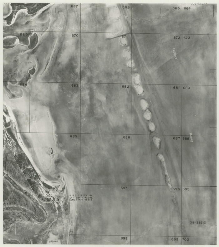

Print $20.00
- Digital $50.00
Cameron County Rolled Sketch 20E
Size 12.9 x 11.4 inches
Map/Doc 5479
Sutton County
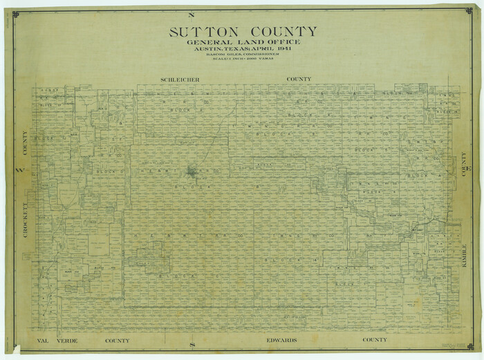

Print $40.00
- Digital $50.00
Sutton County
1941
Size 42.3 x 56.8 inches
Map/Doc 63052
[Sketch for Mineral Application 13271- Trinity River]
![65627, [Sketch for Mineral Application 13271- Trinity River], General Map Collection](https://historictexasmaps.com/wmedia_w700/maps/65627.tif.jpg)
![65627, [Sketch for Mineral Application 13271- Trinity River], General Map Collection](https://historictexasmaps.com/wmedia_w700/maps/65627.tif.jpg)
Print $40.00
- Digital $50.00
[Sketch for Mineral Application 13271- Trinity River]
1925
Size 63.4 x 25.0 inches
Map/Doc 65627
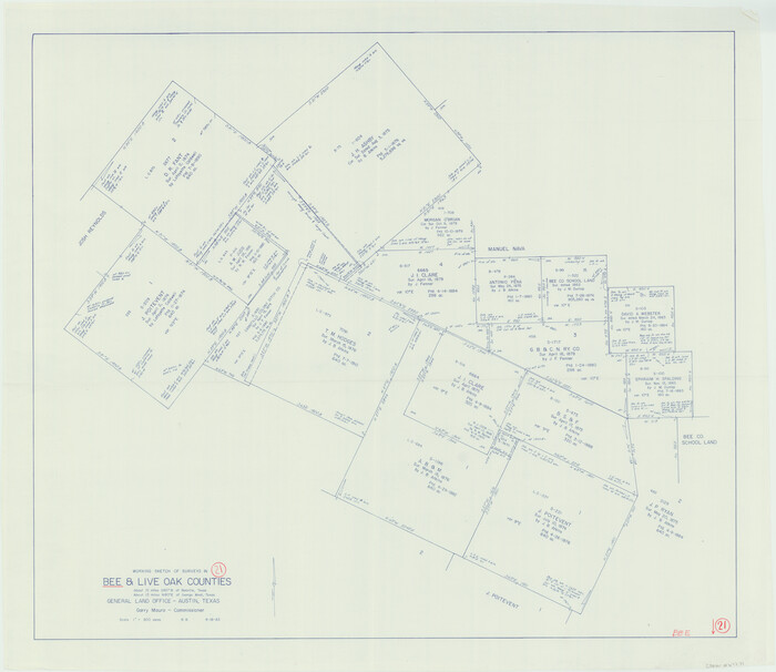
Bee County Working Sketch 21

Print $20.00
- Digital $50.00
Bee County Working Sketch 21
1983
Size 32.5 x 37.5 inches
Map/Doc 67271
Hockley County Sketch File 2


Print $20.00
- Digital $50.00
Hockley County Sketch File 2
1900
Size 13.2 x 18.1 inches
Map/Doc 11768
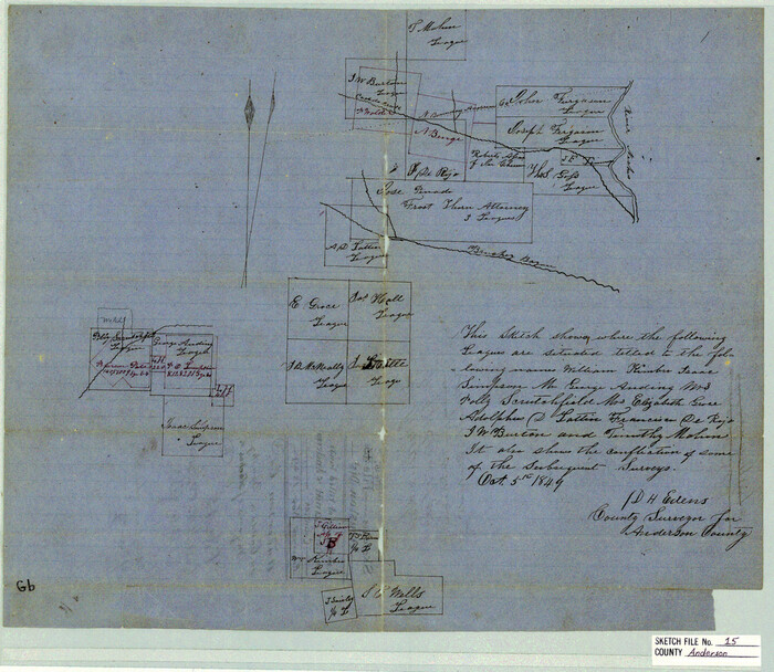
Anderson County Sketch File 15

Print $40.00
- Digital $50.00
Anderson County Sketch File 15
1849
Size 13.6 x 15.6 inches
Map/Doc 10800
Wise County Sketch File 50


Print $20.00
- Digital $50.00
Wise County Sketch File 50
1895
Size 23.7 x 29.9 inches
Map/Doc 12703
Young County Sketch File 14


Print $20.00
- Digital $50.00
Young County Sketch File 14
1895
Size 10.9 x 27.3 inches
Map/Doc 12712
Flight Mission No. DCL-7C, Frame 27, Kenedy County

Print $20.00
- Digital $50.00
Flight Mission No. DCL-7C, Frame 27, Kenedy County
1943
Size 15.4 x 15.2 inches
Map/Doc 86019
Military Map of the Rio Grande Frontier Prepared from Original Surveys, County Maps, Reports of Officers, etc


Print $20.00
Military Map of the Rio Grande Frontier Prepared from Original Surveys, County Maps, Reports of Officers, etc
1883
Size 17.4 x 27.3 inches
Map/Doc 76242
![91628, [University Lands Blocks 16-20], Twichell Survey Records](https://historictexasmaps.com/wmedia_w1800h1800/maps/91628-1.tif.jpg)

