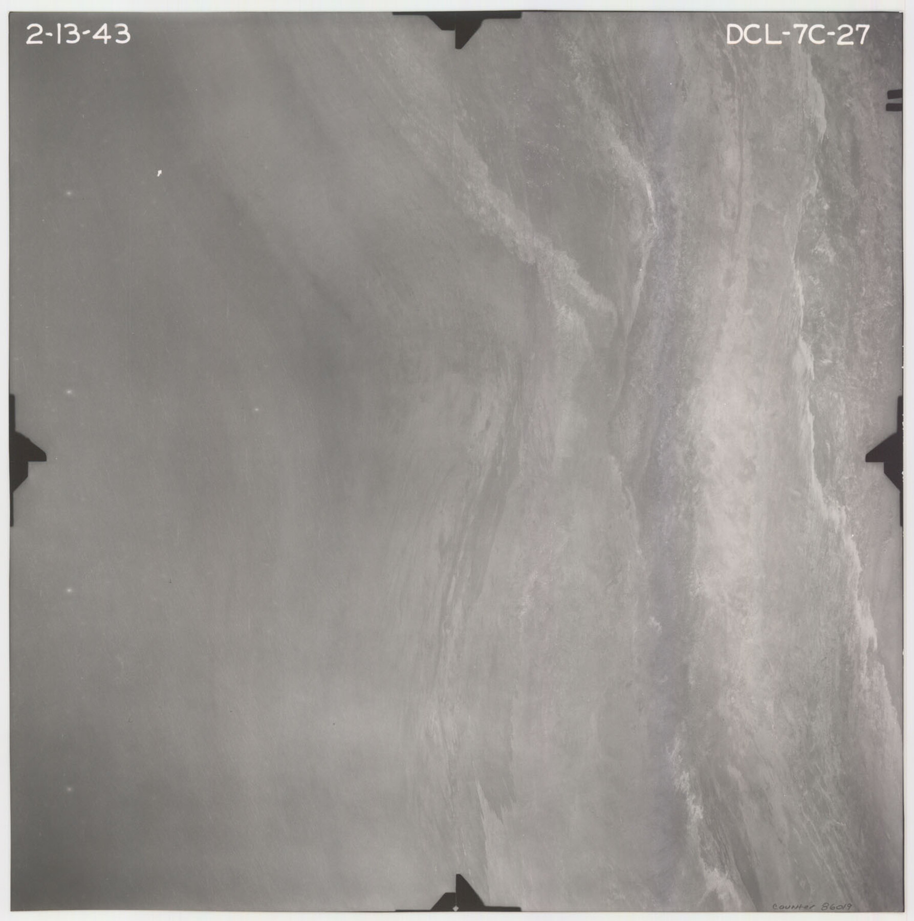
Flight Mission No. DCL-7C, Frame 27, Kenedy County
DCL-7C-27
- 
                          Map/Doc86019
- 
                            CollectionGeneral Map Collection
- 
                            Object Dates1943/2/13 (Creation Date)
- 
                            People and OrganizationsU. S. Department of Agriculture (Publisher)
- 
                            CountiesKenedy
- 
                            SubjectsAerial Photograph
- 
                            Height x Width15.4 x 15.2 inches39.1 x 38.6 cm
- 
                            CommentsFlown by Aerial Surveys of Pittsburgh, Inc. of Pittsburgh, Pennsylvania.
Part of: General Map Collection
            Kaufman County Boundary File 1a


                                            Print $8.00                    
                                             -                         Digital $50.00                                    
                Kaufman County Boundary File 1a
Size 14.1 x 8.6 inches
                                Map/Doc 55907
            
            Val Verde County Sketch File A1 1/2


                                            Print $20.00                    
                                             -                         Digital $50.00                                    
                Val Verde County Sketch File A1 1/2
Size 24.8 x 17.3 inches
                                Map/Doc 12539
            
            Flight Mission No. CUG-3P, Frame 89, Kleberg County


                                            Print $20.00                    
                                             -                         Digital $50.00                                    
                Flight Mission No. CUG-3P, Frame 89, Kleberg County
1956
Size 18.4 x 22.1 inches
                                Map/Doc 86259
            
            Upton County Working Sketch 33


                                            Print $20.00                    
                                             -                         Digital $50.00                                    
                Upton County Working Sketch 33
1955
Size 17.9 x 37.8 inches
                                Map/Doc 69529
            
            Flight Mission No. DCL-5C, Frame 72, Kenedy County


                                            Print $20.00                    
                                             -                         Digital $50.00                                    
                Flight Mission No. DCL-5C, Frame 72, Kenedy County
1943
Size 18.7 x 22.5 inches
                                Map/Doc 85855
            
            Matagorda County Rolled Sketch 16A


                                            Print $20.00                    
                                             -                         Digital $50.00                                    
                Matagorda County Rolled Sketch 16A
Size 23.6 x 41.1 inches
                                Map/Doc 6683
            
            [Surveys in the Bexar District along the Medina River]
            
                                    ![17, [Surveys in the Bexar District along the Medina River], General Map Collection](https://historictexasmaps.com/wmedia_w700/maps/17.tif.jpg) 


    ![17, [Surveys in the Bexar District along the Medina River], General Map Collection](https://historictexasmaps.com/wmedia_w700/maps/17.tif.jpg) 
                                
            
                                            Print $20.00                    
                                             -                         Digital $50.00                                    
                [Surveys in the Bexar District along the Medina River]
1841
Size 16.9 x 12.7 inches
                                Map/Doc 17
            
            Flight Mission No. DAG-21K, Frame 99, Matagorda County


                                            Print $20.00                    
                                             -                         Digital $50.00                                    
                Flight Mission No. DAG-21K, Frame 99, Matagorda County
1952
Size 17.5 x 16.3 inches
                                Map/Doc 86428
            
            Flight Mission No. CGI-4N, Frame 196, Cameron County


                                            Print $20.00                    
                                             -                         Digital $50.00                                    
                Flight Mission No. CGI-4N, Frame 196, Cameron County
1955
Size 18.5 x 22.2 inches
                                Map/Doc 84699
            
            Foard County Sketch File 14


                                            Print $4.00                    
                                             -                         Digital $50.00                                    
                Foard County Sketch File 14
1885
Size 14.4 x 8.8 inches
                                Map/Doc 22819
            
            Brazos County Rolled Sketch 6


                                            Print $20.00                    
                                             -                         Digital $50.00                                    
                Brazos County Rolled Sketch 6
1979
Size 24.3 x 36.4 inches
                                Map/Doc 5190
            
            Houston Ship Channel, Atkinson Island to Alexander Island


                                            Print $40.00                    
                                             -                         Digital $50.00                                    
                Houston Ship Channel, Atkinson Island to Alexander Island
1973
Size 36.7 x 50.2 inches
                                Map/Doc 69902
            You may also like
            Montague County Working Sketch 8


                                            Print $20.00                    
                                             -                         Digital $50.00                                    
                Montague County Working Sketch 8
1928
Size 20.9 x 18.9 inches
                                Map/Doc 71074
            
            Freestone County Working Sketch 18


                                            Print $20.00                    
                                             -                         Digital $50.00                                    
                Freestone County Working Sketch 18
1980
Size 43.3 x 46.9 inches
                                Map/Doc 69260
            
            [Map of Nacogdoches County]
            
                                    ![10784, [Map of Nacogdoches County], General Map Collection](https://historictexasmaps.com/wmedia_w700/maps/10784-1.tif.jpg) 


    ![10784, [Map of Nacogdoches County], General Map Collection](https://historictexasmaps.com/wmedia_w700/maps/10784-1.tif.jpg) 
                                
            
                                            Print $40.00                    
                                             -                         Digital $50.00                                    
                [Map of Nacogdoches County]
1840
Size 79.3 x 69.8 inches
                                Map/Doc 10784
            
            Map Showing Soash Lands in Castro, Lamb, and Hale Counties, Texas


                                            Print $20.00                    
                                             -                         Digital $50.00                                    
                Map Showing Soash Lands in Castro, Lamb, and Hale Counties, Texas
1907
Size 13.9 x 17.6 inches
                                Map/Doc 91000
            
            Nora Jane Wilson Lease


                                            Print $20.00                    
                                             -                         Digital $50.00                                    
                Nora Jane Wilson Lease
1952
Size 12.5 x 15.0 inches
                                Map/Doc 92962
            
            Right of Way and Track Map, Texas & New Orleans R.R. Co. operated by the T. & N. O. R.R. Co., Dallas-Sabine Branch


                                            Print $40.00                    
                                             -                         Digital $50.00                                    
                Right of Way and Track Map, Texas & New Orleans R.R. Co. operated by the T. & N. O. R.R. Co., Dallas-Sabine Branch
1918
Size 24.9 x 56.9 inches
                                Map/Doc 64630
            
            The American Military Pocket Atlas; being an approved Collection of Correct Maps, both general and particular, of the British Colonies; Especially those which now are, or probably may be the Theatre of War


            The American Military Pocket Atlas; being an approved Collection of Correct Maps, both general and particular, of the British Colonies; Especially those which now are, or probably may be the Theatre of War
1776
Map/Doc 97398
            
            McLennan County Boundary File 7


                                            Print $8.00                    
                                             -                         Digital $50.00                                    
                McLennan County Boundary File 7
Size 14.1 x 8.6 inches
                                Map/Doc 57005
            
            Hutchinson Co.


                                            Print $20.00                    
                                             -                         Digital $50.00                                    
                Hutchinson Co.
1891
Size 27.5 x 21.3 inches
                                Map/Doc 4986
            
            Raymond Marshall Farm


                                            Print $3.00                    
                                             -                         Digital $50.00                                    
                Raymond Marshall Farm
Size 9.8 x 12.6 inches
                                Map/Doc 92310
            
            Harris County Working Sketch 118


                                            Print $20.00                    
                                             -                         Digital $50.00                                    
                Harris County Working Sketch 118
1984
Size 24.1 x 34.8 inches
                                Map/Doc 66010
            
            Flight Mission No. BRA-3M, Frame 121, Jefferson County


                                            Print $20.00                    
                                             -                         Digital $50.00                                    
                Flight Mission No. BRA-3M, Frame 121, Jefferson County
1953
Size 18.8 x 22.3 inches
                                Map/Doc 85395
            