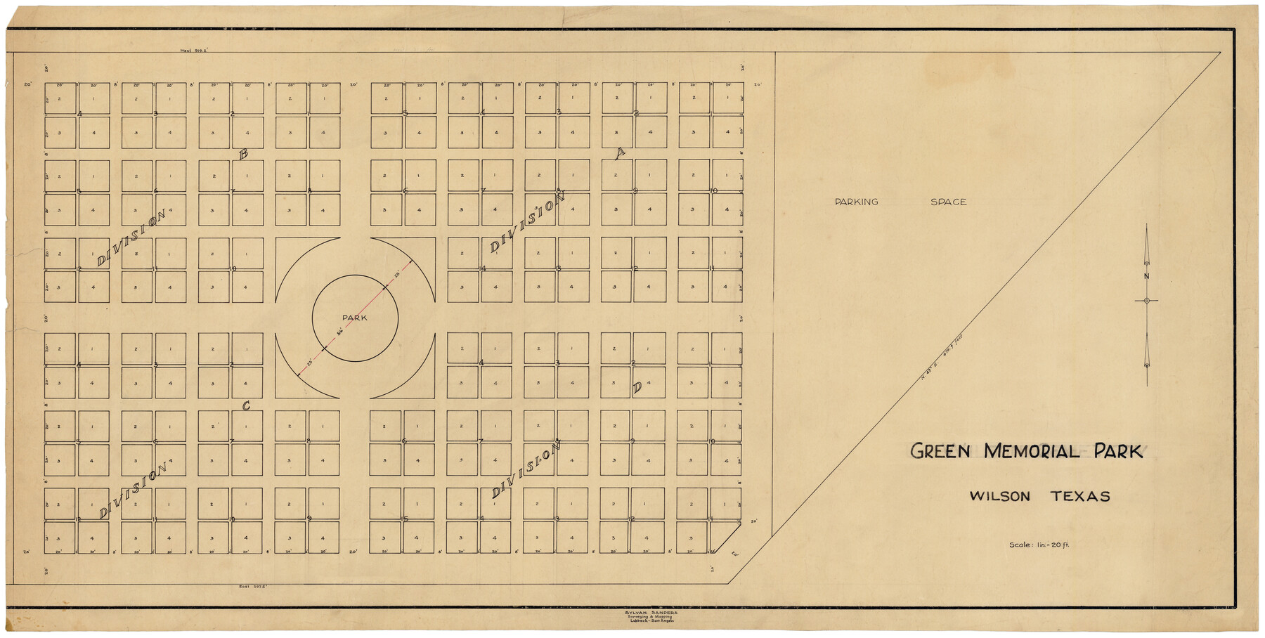
Green Memorial Park
-
Map/Doc
92937
-
Collection
Twichell Survey Records
-
People and Organizations
Sylvan Sanders (Surveyor/Engineer)
-
Counties
Wilson
-
Height x Width
41.4 x 20.9 inches
105.2 x 53.1 cm
Part of: Twichell Survey Records
[S. M. Walker, D. P. Allen, J. C. Guinn, J. R. Lamar and surrounding surveys]
![90335, [S. M. Walker, D. P. Allen, J. C. Guinn, J. R. Lamar and surrounding surveys], Twichell Survey Records](https://historictexasmaps.com/wmedia_w700/maps/90335-1.tif.jpg)
Print $3.00
- Digital $50.00
[S. M. Walker, D. P. Allen, J. C. Guinn, J. R. Lamar and surrounding surveys]
1912
Size 9.8 x 11.3 inches
Map/Doc 90335
Hockley County

Print $20.00
- Digital $50.00
Hockley County
1914
Size 22.3 x 25.9 inches
Map/Doc 92244
Gaines County, Texas

Print $40.00
- Digital $50.00
Gaines County, Texas
Size 60.0 x 31.3 inches
Map/Doc 89684
[Isaac Scott and J. Walker surveys and vicinity]
![92664, [Isaac Scott and J. Walker surveys and vicinity], Twichell Survey Records](https://historictexasmaps.com/wmedia_w700/maps/92664-1.tif.jpg)
Print $40.00
- Digital $50.00
[Isaac Scott and J. Walker surveys and vicinity]
Size 54.0 x 29.1 inches
Map/Doc 92664
Sketch for Blocks D6, D7, D8 situated in Val Verde County, Texas

Print $40.00
- Digital $50.00
Sketch for Blocks D6, D7, D8 situated in Val Verde County, Texas
1937
Size 100.1 x 40.0 inches
Map/Doc 93166
[Sketch of sections 33 and 34]
![91575, [Sketch of sections 33 and 34], Twichell Survey Records](https://historictexasmaps.com/wmedia_w700/maps/91575-1.tif.jpg)
Print $2.00
- Digital $50.00
[Sketch of sections 33 and 34]
Size 5.0 x 8.7 inches
Map/Doc 91575
Map of C. C. Slaughter Cattle Co.'s Ranch, Cochran-Hockley Counties, Texas

Print $20.00
- Digital $50.00
Map of C. C. Slaughter Cattle Co.'s Ranch, Cochran-Hockley Counties, Texas
Size 27.4 x 20.3 inches
Map/Doc 90439
Agua Fria Quadrangle

Print $20.00
- Digital $50.00
Agua Fria Quadrangle
1917
Size 17.2 x 21.1 inches
Map/Doc 90136
[North part of PSL Block A-19 and adjoining School Land Leagues]
![93024, [North part of PSL Block A-19 and adjoining School Land Leagues], Twichell Survey Records](https://historictexasmaps.com/wmedia_w700/maps/93024-1.tif.jpg)
Print $20.00
- Digital $50.00
[North part of PSL Block A-19 and adjoining School Land Leagues]
Size 23.5 x 19.1 inches
Map/Doc 93024

Working Sketch in Crockett County

Print $20.00
- Digital $50.00
Working Sketch in Crockett County
1923
Size 23.2 x 29.6 inches
Map/Doc 90315
[1680 Bed of Rock 20 Feet in Diameter on East Bank of Concho Drain]
![91361, [1680 Bed of Rock 20 Feet in Diameter on East Bank of Concho Drain], Twichell Survey Records](https://historictexasmaps.com/wmedia_w700/maps/91361-1.tif.jpg)
Print $20.00
- Digital $50.00
[1680 Bed of Rock 20 Feet in Diameter on East Bank of Concho Drain]
Size 25.4 x 15.1 inches
Map/Doc 91361
You may also like

[Township 3 North, Block 32]
![91218, [Township 3 North, Block 32], Twichell Survey Records](https://historictexasmaps.com/wmedia_w700/maps/91218-1.tif.jpg)
Print $20.00
- Digital $50.00
[Township 3 North, Block 32]
Size 14.4 x 17.8 inches
Map/Doc 91218

Webb County Working Sketch 79

Print $20.00
- Digital $50.00
Webb County Working Sketch 79
1977
Size 31.0 x 28.3 inches
Map/Doc 72446
Portion of States Submerged Area in Matagorda Bay

Print $20.00
- Digital $50.00
Portion of States Submerged Area in Matagorda Bay
1922
Size 13.9 x 15.9 inches
Map/Doc 2951
Texas Intracoastal Waterway - Port O'Connor to San Antonio Bay, Including Pass Cavallo

Print $20.00
- Digital $50.00
Texas Intracoastal Waterway - Port O'Connor to San Antonio Bay, Including Pass Cavallo
1961
Size 26.5 x 38.7 inches
Map/Doc 73373
Johnson County Working Sketch 7

Print $20.00
- Digital $50.00
Johnson County Working Sketch 7
1951
Size 23.0 x 21.3 inches
Map/Doc 66620
Map of the southern states, including rail roads, county towns, state capitals, count roads, the southern coast from Delaware to Texas, showing the harbors, inlets, forts and position of blockading ships.

Print $20.00
Map of the southern states, including rail roads, county towns, state capitals, count roads, the southern coast from Delaware to Texas, showing the harbors, inlets, forts and position of blockading ships.
1863
Size 20.1 x 29.9 inches
Map/Doc 93571
Terrell County Working Sketch 78

Print $20.00
- Digital $50.00
Terrell County Working Sketch 78
1983
Size 41.0 x 37.2 inches
Map/Doc 69599
Kerr County Rolled Sketch 15

Print $20.00
- Digital $50.00
Kerr County Rolled Sketch 15
1951
Size 14.8 x 20.8 inches
Map/Doc 7720
General Highway Map, El Paso County, Texas

Print $20.00
General Highway Map, El Paso County, Texas
1961
Size 18.4 x 24.6 inches
Map/Doc 79455
Maps of Gulf Intracoastal Waterway, Texas - Sabine River to the Rio Grande and connecting waterways including ship channels

Print $20.00
- Digital $50.00
Maps of Gulf Intracoastal Waterway, Texas - Sabine River to the Rio Grande and connecting waterways including ship channels
1966
Size 14.5 x 22.3 inches
Map/Doc 61936