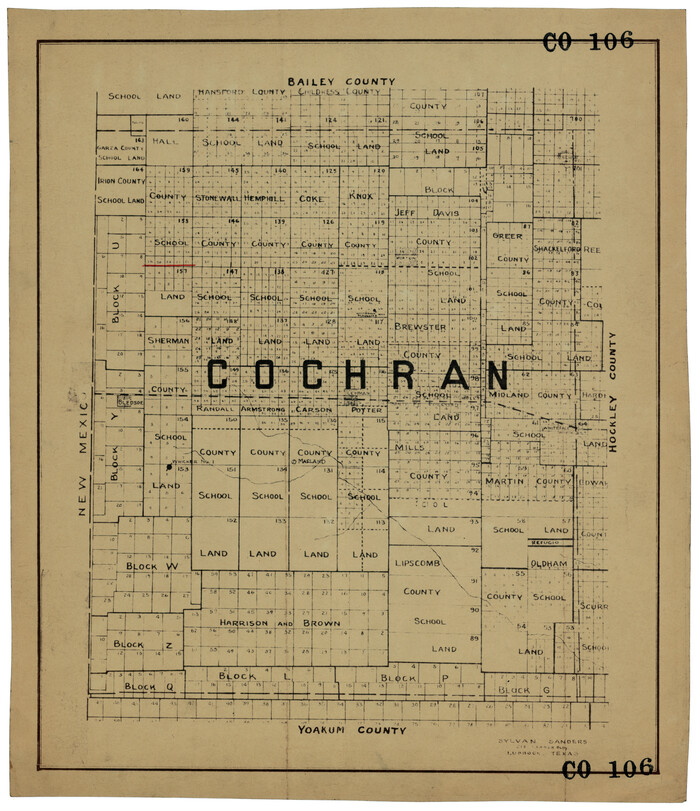
[Block 30 - Jasper Hays]
-
Map/Doc
92949
-
Collection
Twichell Survey Records
-
People and Organizations
Sylvan Sanders (Surveyor/Engineer)
C.A. Tubbs (Draftsman)
-
Counties
Garza
-
Height x Width
25.8 x 17.8 inches
65.5 x 45.2 cm
Part of: Twichell Survey Records
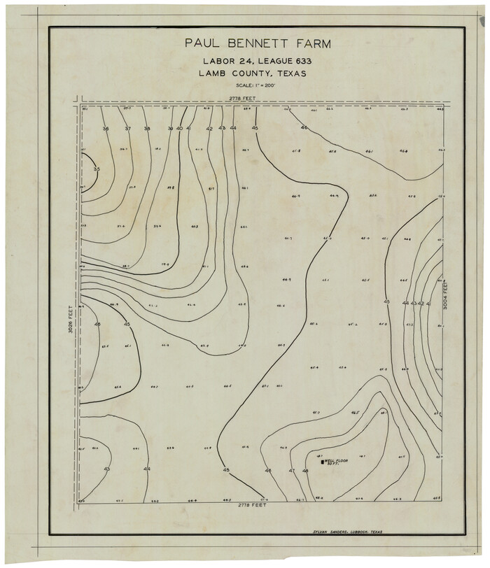
Paul Bennett Farm

Print $20.00
- Digital $50.00
Paul Bennett Farm
Size 18.7 x 21.5 inches
Map/Doc 92409
[Block 37, Townships 1 and 2 North]
![91363, [Block 37, Townships 1 and 2 North], Twichell Survey Records](https://historictexasmaps.com/wmedia_w700/maps/91363-1.tif.jpg)
![91363, [Block 37, Townships 1 and 2 North], Twichell Survey Records](https://historictexasmaps.com/wmedia_w700/maps/91363-1.tif.jpg)
Print $20.00
- Digital $50.00
[Block 37, Townships 1 and 2 North]
Size 19.7 x 40.9 inches
Map/Doc 91363
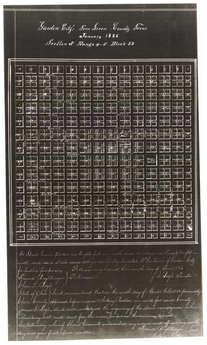
Garden City Townsite, Section 5, Range 4 South, Block 33

Print $2.00
- Digital $50.00
Garden City Townsite, Section 5, Range 4 South, Block 33
1886
Size 9.0 x 15.4 inches
Map/Doc 90763
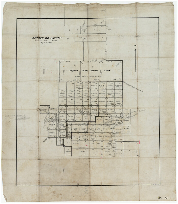
Crosby Co. Sketch

Print $20.00
- Digital $50.00
Crosby Co. Sketch
1904
Size 21.2 x 24.4 inches
Map/Doc 90349
Garden City, Tom Green County, Texas, Section 5, Range 4-S Block 33


Print $3.00
- Digital $50.00
Garden City, Tom Green County, Texas, Section 5, Range 4-S Block 33
1886
Size 10.0 x 16.6 inches
Map/Doc 92130
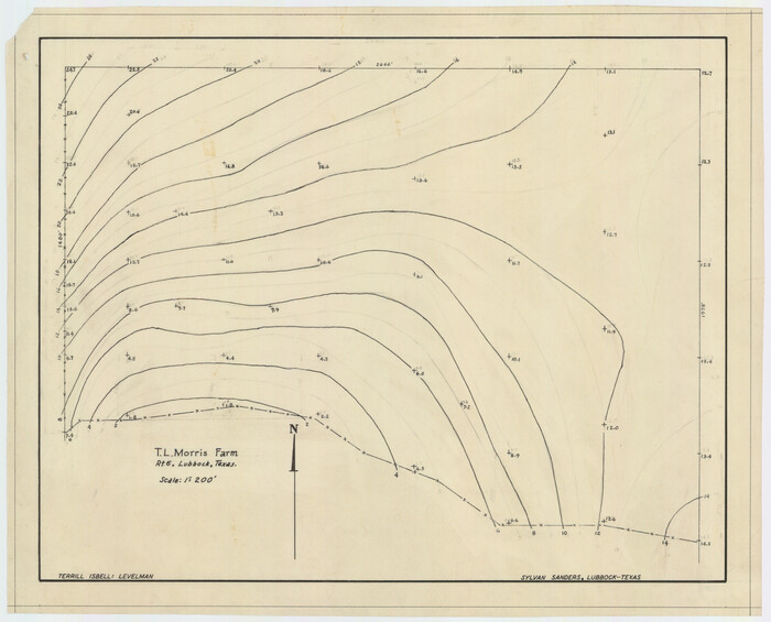
T. L. Morris Farm Rt. 6

Print $20.00
- Digital $50.00
T. L. Morris Farm Rt. 6
Size 16.3 x 13.2 inches
Map/Doc 92341
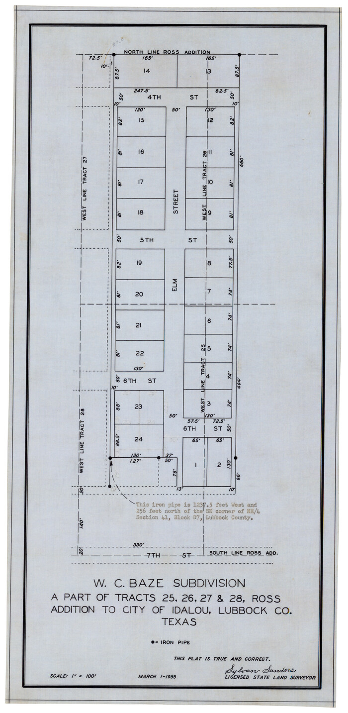
W. C. Baze Subdivision a part of Tracts 25, 26, 27 and 28, Ross Addition to City of Idalou, Lubbock Co.

Print $20.00
- Digital $50.00
W. C. Baze Subdivision a part of Tracts 25, 26, 27 and 28, Ross Addition to City of Idalou, Lubbock Co.
1955
Size 9.2 x 18.9 inches
Map/Doc 92761
[G. & M. Block 5]
![91796, [G. & M. Block 5], Twichell Survey Records](https://historictexasmaps.com/wmedia_w700/maps/91796-1.tif.jpg)
![91796, [G. & M. Block 5], Twichell Survey Records](https://historictexasmaps.com/wmedia_w700/maps/91796-1.tif.jpg)
Print $20.00
- Digital $50.00
[G. & M. Block 5]
Size 22.6 x 18.9 inches
Map/Doc 91796
Map of Glasscock County


Print $20.00
- Digital $50.00
Map of Glasscock County
Size 18.9 x 23.1 inches
Map/Doc 90710
[Aaron Cherry, Augustin M. de Lejarza, & Surrounding Surveys]
![91078, [Aaron Cherry, Augustin M. de Lejarza, & Surrounding Surveys], Twichell Survey Records](https://historictexasmaps.com/wmedia_w700/maps/91078-1.tif.jpg)
![91078, [Aaron Cherry, Augustin M. de Lejarza, & Surrounding Surveys], Twichell Survey Records](https://historictexasmaps.com/wmedia_w700/maps/91078-1.tif.jpg)
Print $20.00
- Digital $50.00
[Aaron Cherry, Augustin M. de Lejarza, & Surrounding Surveys]
Size 26.3 x 16.4 inches
Map/Doc 91078
[Block E, and Portions of Blocks 20 and S]
![91327, [Block E, and Portions of Blocks 20 and S], Twichell Survey Records](https://historictexasmaps.com/wmedia_w700/maps/91327-1.tif.jpg)
![91327, [Block E, and Portions of Blocks 20 and S], Twichell Survey Records](https://historictexasmaps.com/wmedia_w700/maps/91327-1.tif.jpg)
Print $20.00
- Digital $50.00
[Block E, and Portions of Blocks 20 and S]
Size 14.9 x 30.2 inches
Map/Doc 91327
You may also like
The Judicial District/County of Hamilton. Created, February 2, 1842


Print $20.00
The Judicial District/County of Hamilton. Created, February 2, 1842
2020
Size 14.9 x 21.7 inches
Map/Doc 96329
Texas Aerial Photo-Illustrated Map

Texas Aerial Photo-Illustrated Map
Size 21.3 x 28.3 inches
Map/Doc 94398
[I. & G. N. Block 1, sections 64, 65, 67-71 and 545 along river]
![91602, [I. & G. N. Block 1, sections 64, 65, 67-71 and 545 along river], Twichell Survey Records](https://historictexasmaps.com/wmedia_w700/maps/91602-1.tif.jpg)
![91602, [I. & G. N. Block 1, sections 64, 65, 67-71 and 545 along river], Twichell Survey Records](https://historictexasmaps.com/wmedia_w700/maps/91602-1.tif.jpg)
Print $2.00
- Digital $50.00
[I. & G. N. Block 1, sections 64, 65, 67-71 and 545 along river]
Size 8.8 x 14.3 inches
Map/Doc 91602
Flight Mission No. DIX-8P, Frame 95, Aransas County


Print $20.00
- Digital $50.00
Flight Mission No. DIX-8P, Frame 95, Aransas County
1956
Size 18.4 x 22.3 inches
Map/Doc 83920
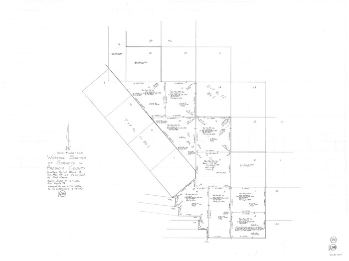
Presidio County Working Sketch 140

Print $20.00
- Digital $50.00
Presidio County Working Sketch 140
1990
Size 29.8 x 39.9 inches
Map/Doc 71818
Rio Grande Rectification Project, El Paso and Juarez Valley


Print $20.00
- Digital $50.00
Rio Grande Rectification Project, El Paso and Juarez Valley
1935
Size 10.7 x 29.7 inches
Map/Doc 60863
[Lamb County Sketch File C]
![91193, [Lamb County Sketch File C], Twichell Survey Records](https://historictexasmaps.com/wmedia_w700/maps/91193-1.tif.jpg)
![91193, [Lamb County Sketch File C], Twichell Survey Records](https://historictexasmaps.com/wmedia_w700/maps/91193-1.tif.jpg)
Print $20.00
- Digital $50.00
[Lamb County Sketch File C]
1904
Size 20.1 x 27.2 inches
Map/Doc 91193
General Highway Map, Winkler County, Texas


Print $20.00
General Highway Map, Winkler County, Texas
1961
Size 18.2 x 24.8 inches
Map/Doc 79717
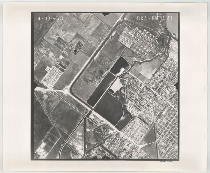
Flight Mission No. BRA-8M, Frame 121, Jefferson County

Print $20.00
- Digital $50.00
Flight Mission No. BRA-8M, Frame 121, Jefferson County
1953
Size 18.5 x 22.4 inches
Map/Doc 85617
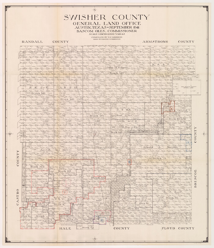
Swisher County Working Sketch Graphic Index

Print $20.00
- Digital $50.00
Swisher County Working Sketch Graphic Index
1941
Size 41.5 x 35.9 inches
Map/Doc 76707
Archer County Working Sketch 22


Print $20.00
- Digital $50.00
Archer County Working Sketch 22
1980
Size 36.4 x 38.0 inches
Map/Doc 67163
Bandera County Working Sketch 36


Print $20.00
- Digital $50.00
Bandera County Working Sketch 36
1966
Size 22.5 x 29.5 inches
Map/Doc 67632
![92949, [Block 30 - Jasper Hays], Twichell Survey Records](https://historictexasmaps.com/wmedia_w1800h1800/maps/92949-1.tif.jpg)
