[Sketch of part of G. & M. Block 5, G. & M. Block 4, Block M19 and Block 21W]
188-19
-
Map/Doc
93113
-
Collection
Twichell Survey Records
-
Counties
Potter
-
Height x Width
22.0 x 17.0 inches
55.9 x 43.2 cm
Part of: Twichell Survey Records
[C. C. S. D. & R. G. N. G Ry. Co. Block in NW of County]
![90821, [C. C. S. D. & R. G. N. G Ry. Co. Block in NW of County], Twichell Survey Records](https://historictexasmaps.com/wmedia_w700/maps/90821-2.tif.jpg)
![90821, [C. C. S. D. & R. G. N. G Ry. Co. Block in NW of County], Twichell Survey Records](https://historictexasmaps.com/wmedia_w700/maps/90821-2.tif.jpg)
Print $20.00
- Digital $50.00
[C. C. S. D. & R. G. N. G Ry. Co. Block in NW of County]
Size 17.3 x 22.0 inches
Map/Doc 90821
Ed Gordon Irrigated Farm NE Quarter Section 14, Block E
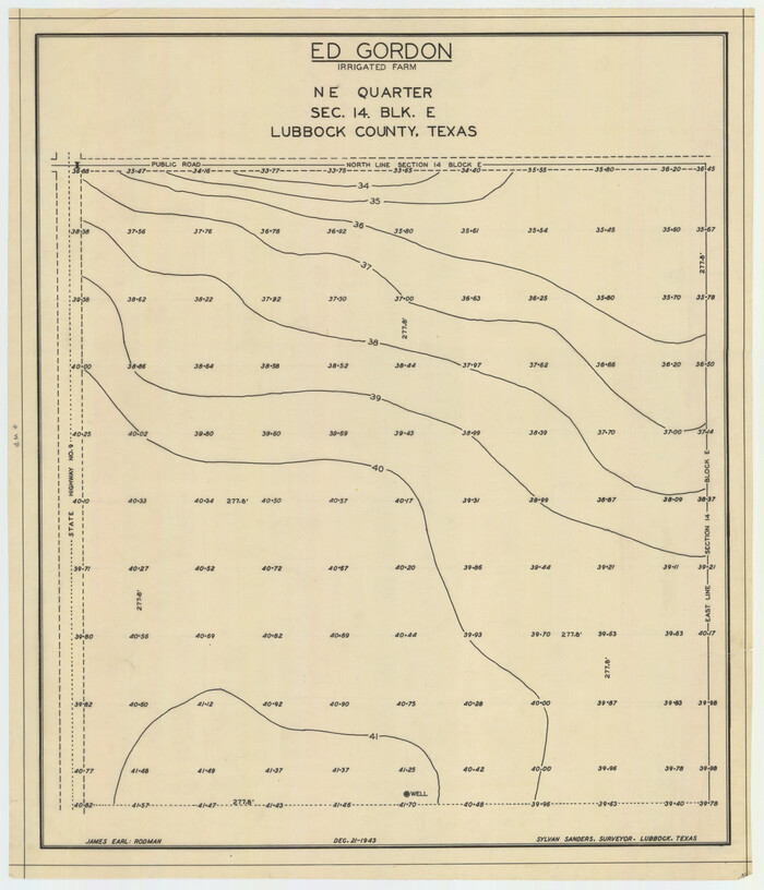

Print $20.00
- Digital $50.00
Ed Gordon Irrigated Farm NE Quarter Section 14, Block E
1943
Size 16.0 x 18.6 inches
Map/Doc 92325
National Parks, Monuments and Shrines of the United States and Canada
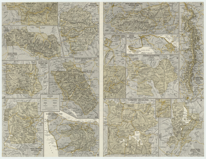

National Parks, Monuments and Shrines of the United States and Canada
1958
Size 25.5 x 19.5 inches
Map/Doc 92378
[Coleman and McCullogh County Drilling Block]
![92968, [Coleman and McCullogh County Drilling Block], Twichell Survey Records](https://historictexasmaps.com/wmedia_w700/maps/92968-1.tif.jpg)
![92968, [Coleman and McCullogh County Drilling Block], Twichell Survey Records](https://historictexasmaps.com/wmedia_w700/maps/92968-1.tif.jpg)
Print $20.00
- Digital $50.00
[Coleman and McCullogh County Drilling Block]
Size 16.6 x 18.6 inches
Map/Doc 92968
[John S. Stephens Blk. S-2, J. A. Oden Blk. 1, Lgs. 174-176]
![90247, [John S. Stephens Blk. S-2, J. A. Oden Blk. 1, Lgs. 174-176], Twichell Survey Records](https://historictexasmaps.com/wmedia_w700/maps/90247-1.tif.jpg)
![90247, [John S. Stephens Blk. S-2, J. A. Oden Blk. 1, Lgs. 174-176], Twichell Survey Records](https://historictexasmaps.com/wmedia_w700/maps/90247-1.tif.jpg)
Print $20.00
- Digital $50.00
[John S. Stephens Blk. S-2, J. A. Oden Blk. 1, Lgs. 174-176]
1913
Size 24.8 x 31.5 inches
Map/Doc 90247
[Sketch showing Block M-3]
![91707, [Sketch showing Block M-3], Twichell Survey Records](https://historictexasmaps.com/wmedia_w700/maps/91707-1.tif.jpg)
![91707, [Sketch showing Block M-3], Twichell Survey Records](https://historictexasmaps.com/wmedia_w700/maps/91707-1.tif.jpg)
Print $2.00
- Digital $50.00
[Sketch showing Block M-3]
Size 14.4 x 6.6 inches
Map/Doc 91707
Reagan County Working Sketch


Print $20.00
- Digital $50.00
Reagan County Working Sketch
1923
Size 27.0 x 17.5 inches
Map/Doc 92971
[H. & T. C. Block 47, Sections 47- 55 Corrections]
![91529, [H. & T. C. Block 47, Sections 47- 55 Corrections], Twichell Survey Records](https://historictexasmaps.com/wmedia_w700/maps/91529-1.tif.jpg)
![91529, [H. & T. C. Block 47, Sections 47- 55 Corrections], Twichell Survey Records](https://historictexasmaps.com/wmedia_w700/maps/91529-1.tif.jpg)
Print $3.00
- Digital $50.00
[H. & T. C. Block 47, Sections 47- 55 Corrections]
Size 11.6 x 13.3 inches
Map/Doc 91529
Nine Central Panhandle Counties, Texas
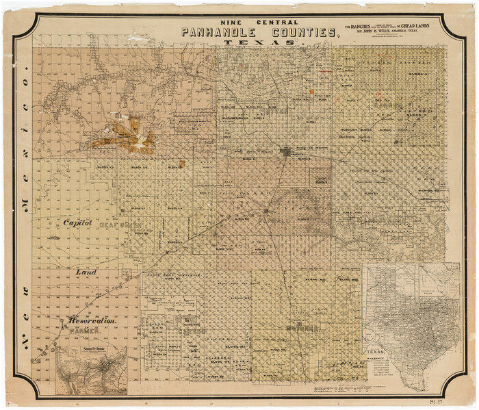

Print $20.00
- Digital $50.00
Nine Central Panhandle Counties, Texas
1899
Size 41.3 x 35.3 inches
Map/Doc 89790
[Sketch filed with corrected field notes of Surveys 27, 28, 29 and 30, Block B-19, PSL]
![91848, [Sketch filed with corrected field notes of Surveys 27, 28, 29 and 30, Block B-19, PSL], Twichell Survey Records](https://historictexasmaps.com/wmedia_w700/maps/91848-1.tif.jpg)
![91848, [Sketch filed with corrected field notes of Surveys 27, 28, 29 and 30, Block B-19, PSL], Twichell Survey Records](https://historictexasmaps.com/wmedia_w700/maps/91848-1.tif.jpg)
Print $20.00
- Digital $50.00
[Sketch filed with corrected field notes of Surveys 27, 28, 29 and 30, Block B-19, PSL]
1943
Size 19.9 x 15.1 inches
Map/Doc 91848
[Part of Block GG and river sections 69-79]
![90470, [Part of Block GG and river sections 69-79], Twichell Survey Records](https://historictexasmaps.com/wmedia_w700/maps/90470-1.tif.jpg)
![90470, [Part of Block GG and river sections 69-79], Twichell Survey Records](https://historictexasmaps.com/wmedia_w700/maps/90470-1.tif.jpg)
Print $20.00
- Digital $50.00
[Part of Block GG and river sections 69-79]
Size 43.2 x 31.2 inches
Map/Doc 90470
Sketch Showing Original Corners and Connections Affecting Blocks T1, T2, and T3 in Lamb and Castro Counties, Texas


Print $20.00
- Digital $50.00
Sketch Showing Original Corners and Connections Affecting Blocks T1, T2, and T3 in Lamb and Castro Counties, Texas
Size 17.7 x 30.6 inches
Map/Doc 92199
You may also like
Mitchell County Working Sketch 4, draft


Print $40.00
- Digital $50.00
Mitchell County Working Sketch 4, draft
Size 25.7 x 59.5 inches
Map/Doc 78202
Lamar County Working Sketch 1
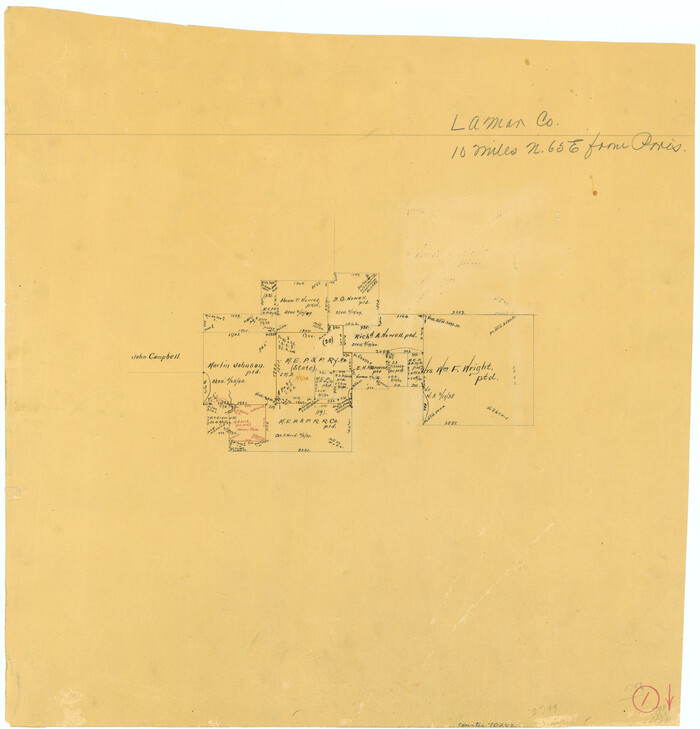

Print $20.00
- Digital $50.00
Lamar County Working Sketch 1
Size 19.0 x 18.2 inches
Map/Doc 70262
Duval County Working Sketch 20
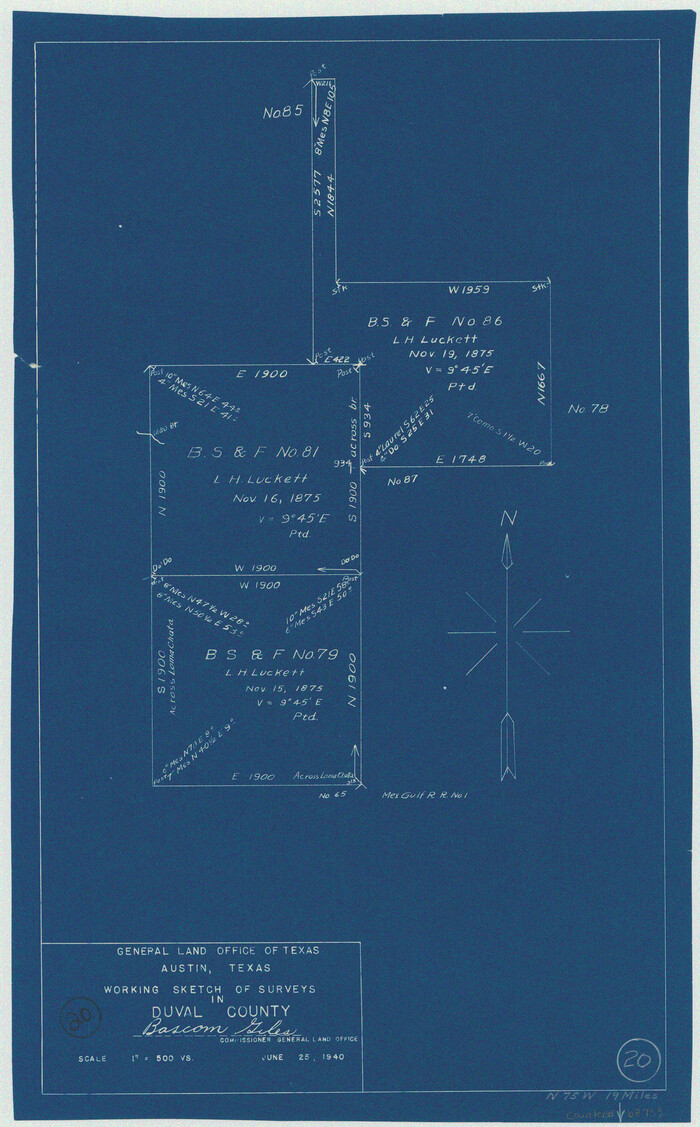

Print $20.00
- Digital $50.00
Duval County Working Sketch 20
1940
Size 20.5 x 12.7 inches
Map/Doc 68733
Brazoria County Sketch File 6a


Print $40.00
- Digital $50.00
Brazoria County Sketch File 6a
1862
Size 17.6 x 12.6 inches
Map/Doc 10949
Webb County Rolled Sketch 7
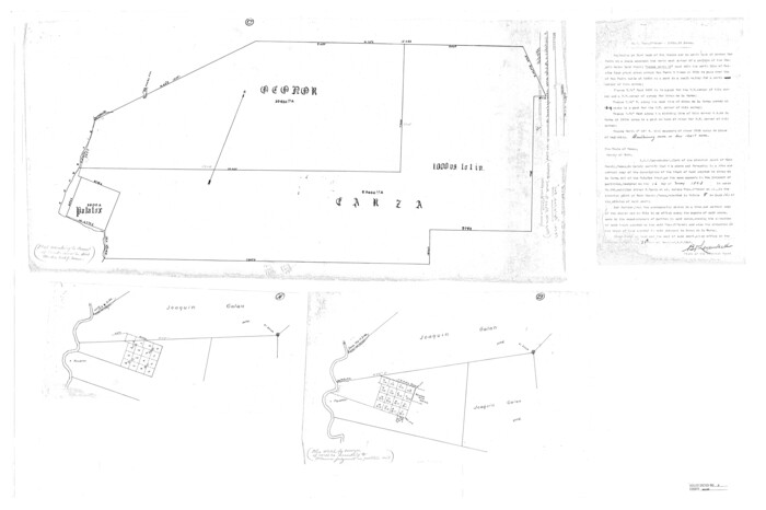

Print $20.00
- Digital $50.00
Webb County Rolled Sketch 7
Size 29.1 x 43.7 inches
Map/Doc 8173
Knox County Sketch File 8

Print $26.00
- Digital $50.00
Knox County Sketch File 8
1882
Size 8.6 x 7.8 inches
Map/Doc 29218
McLennan County Sketch File 1

Print $4.00
- Digital $50.00
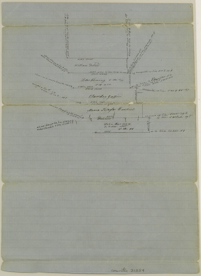
McLennan County Sketch File 1
Size 11.5 x 8.4 inches
Map/Doc 31224
Freestone County Working Sketch 8


Print $40.00
- Digital $50.00
Freestone County Working Sketch 8
1960
Size 60.6 x 36.6 inches
Map/Doc 69250
Throckmorton County Rolled Sketch 6A


Print $20.00
- Digital $50.00
Throckmorton County Rolled Sketch 6A
2004
Size 20.3 x 24.3 inches
Map/Doc 82489
Section 160, Block G, Gaines County, Texas


Print $20.00
- Digital $50.00
Section 160, Block G, Gaines County, Texas
1958
Size 17.1 x 19.3 inches
Map/Doc 92679
Bastrop County Working Sketch 15

Print $20.00
- Digital $50.00
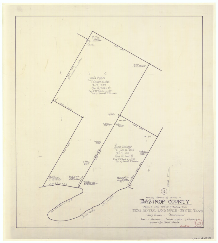
Bastrop County Working Sketch 15
1993
Size 23.5 x 21.1 inches
Map/Doc 67315
![93113, [Sketch of part of G. & M. Block 5, G. & M. Block 4, Block M19 and Block 21W], Twichell Survey Records](https://historictexasmaps.com/wmedia_w1800h1800/maps/93113-1.tif.jpg)
