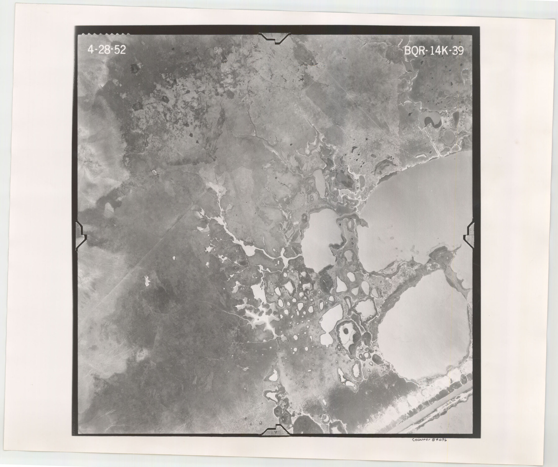
Flight Mission No. BQR-14K, Frame 39, Brazoria County
BQR-14K-39
-
Map/Doc
84096
-
Collection
General Map Collection
-
Object Dates
1952/4/28 (Creation Date)
-
People and Organizations
U. S. Department of Agriculture (Publisher)
-
Counties
Brazoria
-
Subjects
Aerial Photograph
-
Height x Width
18.9 x 22.6 inches
48.0 x 57.4 cm
-
Comments
Flown by Aero Exploration Company of Tulsa, Oklahoma.
Part of: General Map Collection

Portion of States Submerged Area in Matagorda Bay

Print $20.00
- Digital $50.00
Portion of States Submerged Area in Matagorda Bay
1922
Size 15.2 x 14.8 inches
Map/Doc 2953
Culberson County Sketch File 10a

Print $20.00
- Digital $50.00
Culberson County Sketch File 10a
1926
Size 11.9 x 18.3 inches
Map/Doc 11264
La Salle County Sketch File 47

Print $8.00
- Digital $50.00
La Salle County Sketch File 47
1941
Size 14.2 x 8.9 inches
Map/Doc 29613
Howard County Working Sketch 9b

Print $20.00
- Digital $50.00
Howard County Working Sketch 9b
1962
Size 33.9 x 37.4 inches
Map/Doc 66277
Flight Mission No. CRC-4R, Frame 150, Chambers County

Print $20.00
- Digital $50.00
Flight Mission No. CRC-4R, Frame 150, Chambers County
1956
Size 18.6 x 22.4 inches
Map/Doc 84913
Wood County Working Sketch 8

Print $20.00
- Digital $50.00
Wood County Working Sketch 8
1943
Size 27.7 x 25.2 inches
Map/Doc 62008
Map of Cherokee County

Print $20.00
- Digital $50.00
Map of Cherokee County
1871
Size 25.0 x 17.6 inches
Map/Doc 3388
Randall County Sketch File 4

Print $20.00
- Digital $50.00
Randall County Sketch File 4
1903
Size 35.6 x 13.4 inches
Map/Doc 12207
Young County Sketch File 19

Print $34.00
- Digital $50.00
Young County Sketch File 19
Size 14.5 x 8.9 inches
Map/Doc 40887
Sutton County Sketch File 59

Print $20.00
- Digital $50.00
Sutton County Sketch File 59
Size 24.6 x 16.5 inches
Map/Doc 12394
Throckmorton County Sketch File 7

Print $8.00
- Digital $50.00
Throckmorton County Sketch File 7
Size 14.3 x 8.8 inches
Map/Doc 38090
You may also like
Oil and Gas Fields in the State of Texas

Print $40.00
Oil and Gas Fields in the State of Texas
1927
Size 58.2 x 38.1 inches
Map/Doc 76303
[Block D, John H. Gibson]
![92003, [Block D, John H. Gibson], Twichell Survey Records](https://historictexasmaps.com/wmedia_w700/maps/92003-1.tif.jpg)
Print $20.00
- Digital $50.00
[Block D, John H. Gibson]
Size 33.2 x 18.4 inches
Map/Doc 92003
Freestone County Working Sketch 13

Print $40.00
- Digital $50.00
Freestone County Working Sketch 13
1980
Size 42.8 x 59.7 inches
Map/Doc 69255
[Beaumont, Sour Lake and Western Ry. Right of Way and Alignment - Frisco]
![64124, [Beaumont, Sour Lake and Western Ry. Right of Way and Alignment - Frisco], General Map Collection](https://historictexasmaps.com/wmedia_w700/maps/64124.tif.jpg)
Print $20.00
- Digital $50.00
[Beaumont, Sour Lake and Western Ry. Right of Way and Alignment - Frisco]
1910
Size 20.4 x 46.0 inches
Map/Doc 64124
Victoria County Rolled Sketch 6

Print $20.00
- Digital $50.00
Victoria County Rolled Sketch 6
Size 27.9 x 36.3 inches
Map/Doc 8152
Rusk County Working Sketch 27

Print $20.00
- Digital $50.00
Rusk County Working Sketch 27
1937
Size 35.6 x 29.3 inches
Map/Doc 63663
Flight Mission No. BRA-6M, Frame 89, Jefferson County

Print $20.00
- Digital $50.00
Flight Mission No. BRA-6M, Frame 89, Jefferson County
1953
Size 18.6 x 22.4 inches
Map/Doc 85432
Bell County Sketch File 10

Print $4.00
- Digital $50.00
Bell County Sketch File 10
1851
Size 12.7 x 8.4 inches
Map/Doc 14381
Crockett County Working Sketch 77

Print $40.00
- Digital $50.00
Crockett County Working Sketch 77
1966
Size 29.6 x 58.5 inches
Map/Doc 68410
Travis County State Real Property Sketch 14

Print $40.00
- Digital $50.00
Travis County State Real Property Sketch 14
1995
Size 18.1 x 23.9 inches
Map/Doc 61672
Milam District

Print $20.00
- Digital $50.00
Milam District
1854
Size 30.2 x 18.9 inches
Map/Doc 3859
General Highway Map, Reeves County, Texas

Print $20.00
General Highway Map, Reeves County, Texas
1961
Size 24.6 x 18.2 inches
Map/Doc 79638