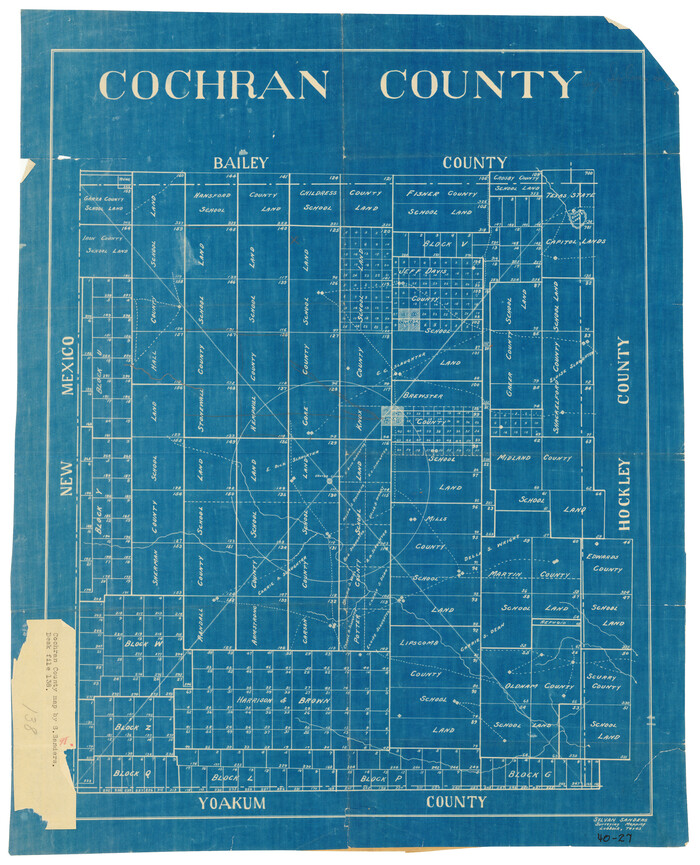
[PSL Block B-19]
238-13
-
Map/Doc
93127
-
Collection
Twichell Survey Records
-
Counties
Ward
-
Height x Width
49.1 x 45.5 inches
124.7 x 115.6 cm
Part of: Twichell Survey Records
[Blocks 36, 37 Township 2 South]
![92320, [Blocks 36, 37 Township 2 South], Twichell Survey Records](https://historictexasmaps.com/wmedia_w700/maps/92320-1.tif.jpg)
![92320, [Blocks 36, 37 Township 2 South], Twichell Survey Records](https://historictexasmaps.com/wmedia_w700/maps/92320-1.tif.jpg)
Print $20.00
- Digital $50.00
[Blocks 36, 37 Township 2 South]
Size 24.6 x 18.9 inches
Map/Doc 92320
Map of Reeves County, 1892
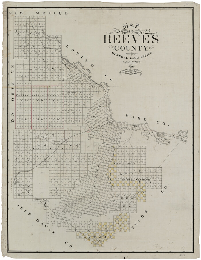

Print $20.00
- Digital $50.00
Map of Reeves County, 1892
1892
Size 35.8 x 46.3 inches
Map/Doc 89708
[Lynn and Adjacent Counties]
![92961, [Lynn and Adjacent Counties], Twichell Survey Records](https://historictexasmaps.com/wmedia_w700/maps/92961-1.tif.jpg)
![92961, [Lynn and Adjacent Counties], Twichell Survey Records](https://historictexasmaps.com/wmedia_w700/maps/92961-1.tif.jpg)
Print $20.00
- Digital $50.00
[Lynn and Adjacent Counties]
Size 24.6 x 18.8 inches
Map/Doc 92961
Hockley County Sketch, Mineral Application Number 39180
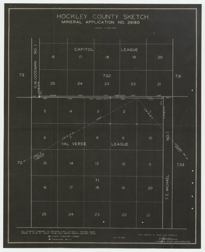

Print $3.00
- Digital $50.00
Hockley County Sketch, Mineral Application Number 39180
1947
Size 10.4 x 12.8 inches
Map/Doc 91106
[Texas Boundary Line]
![92073, [Texas Boundary Line], Twichell Survey Records](https://historictexasmaps.com/wmedia_w700/maps/92073-1.tif.jpg)
![92073, [Texas Boundary Line], Twichell Survey Records](https://historictexasmaps.com/wmedia_w700/maps/92073-1.tif.jpg)
Print $20.00
- Digital $50.00
[Texas Boundary Line]
Size 21.5 x 11.9 inches
Map/Doc 92073
[South Part of Terrell County, West Part of Val Verde County]
![91960, [South Part of Terrell County, West Part of Val Verde County], Twichell Survey Records](https://historictexasmaps.com/wmedia_w700/maps/91960-1.tif.jpg)
![91960, [South Part of Terrell County, West Part of Val Verde County], Twichell Survey Records](https://historictexasmaps.com/wmedia_w700/maps/91960-1.tif.jpg)
Print $20.00
- Digital $50.00
[South Part of Terrell County, West Part of Val Verde County]
Size 38.6 x 18.5 inches
Map/Doc 91960
[Sketch showing County School Land Leagues]
![90101, [Sketch showing County School Land Leagues], Twichell Survey Records](https://historictexasmaps.com/wmedia_w700/maps/90101-1.tif.jpg)
![90101, [Sketch showing County School Land Leagues], Twichell Survey Records](https://historictexasmaps.com/wmedia_w700/maps/90101-1.tif.jpg)
Print $3.00
- Digital $50.00
[Sketch showing County School Land Leagues]
1902
Size 11.0 x 11.1 inches
Map/Doc 90101
[Blocks H and C41]
![92623, [Blocks H and C41], Twichell Survey Records](https://historictexasmaps.com/wmedia_w700/maps/92623-1.tif.jpg)
![92623, [Blocks H and C41], Twichell Survey Records](https://historictexasmaps.com/wmedia_w700/maps/92623-1.tif.jpg)
Print $20.00
- Digital $50.00
[Blocks H and C41]
1951
Size 24.6 x 18.8 inches
Map/Doc 92623
Largo Distancia Colonia Located on S. Half of SW Quarter Section 8, Block A
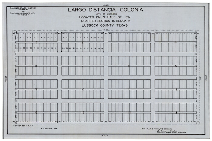

Print $20.00
- Digital $50.00
Largo Distancia Colonia Located on S. Half of SW Quarter Section 8, Block A
Size 20.3 x 13.6 inches
Map/Doc 92765
[Blocks R31E-R33E, Townships 12E-14E]
![92041, [Blocks R31E-R33E, Townships 12E-14E], Twichell Survey Records](https://historictexasmaps.com/wmedia_w700/maps/92041-1.tif.jpg)
![92041, [Blocks R31E-R33E, Townships 12E-14E], Twichell Survey Records](https://historictexasmaps.com/wmedia_w700/maps/92041-1.tif.jpg)
Print $20.00
- Digital $50.00
[Blocks R31E-R33E, Townships 12E-14E]
Size 22.9 x 21.4 inches
Map/Doc 92041
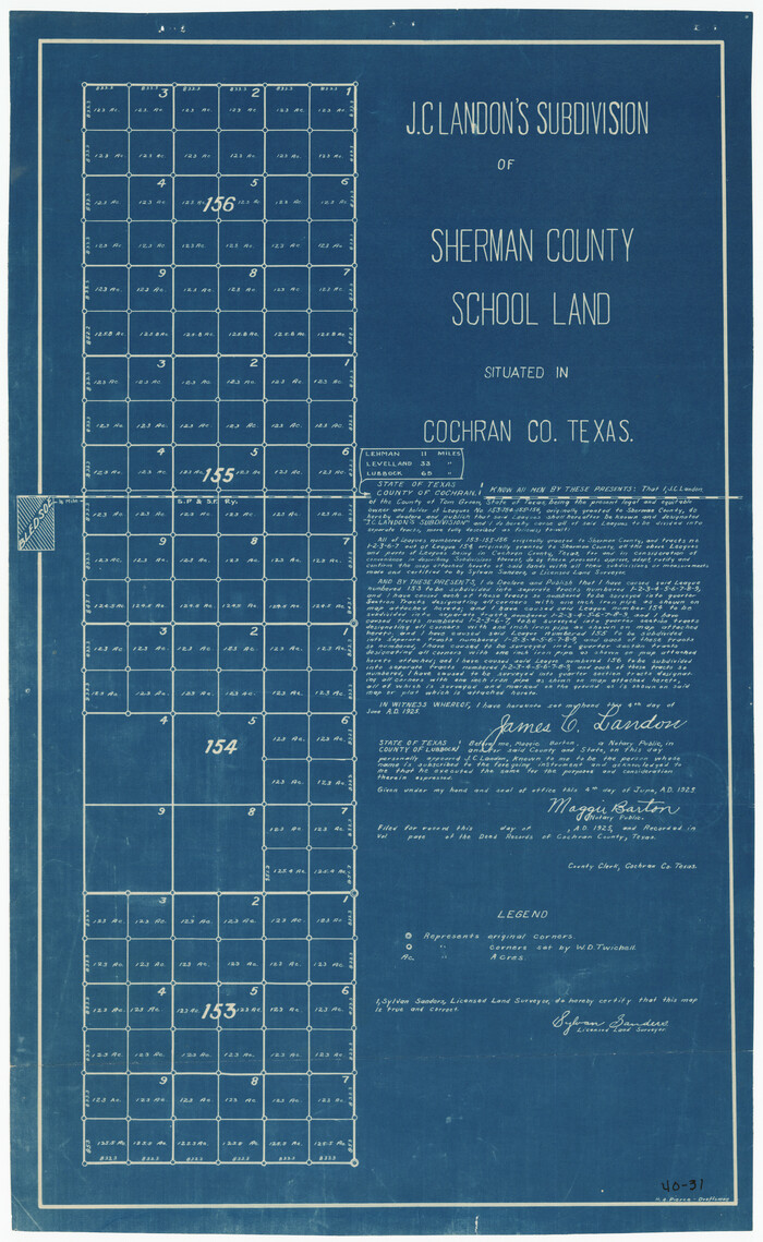
J. C. Landon's Subdivision of Sherman County School Land situated in Cochran Co., Texas

Print $20.00
- Digital $50.00
J. C. Landon's Subdivision of Sherman County School Land situated in Cochran Co., Texas
1925
Size 14.1 x 22.9 inches
Map/Doc 90291
You may also like
Terrell County Working Sketch 8b


Print $20.00
- Digital $50.00
Terrell County Working Sketch 8b
1916
Size 15.1 x 18.6 inches
Map/Doc 69695
Plat Showing Survey for Harvest Queen Mills in Sec. 2 Blk. A & Sec. 4 Blk. O Lubbock County, Texas


Print $20.00
- Digital $50.00
Plat Showing Survey for Harvest Queen Mills in Sec. 2 Blk. A & Sec. 4 Blk. O Lubbock County, Texas
1956
Size 36.9 x 39.5 inches
Map/Doc 89893
Sterling County Rolled Sketch 32


Print $20.00
- Digital $50.00
Sterling County Rolled Sketch 32
Size 17.9 x 29.4 inches
Map/Doc 7856
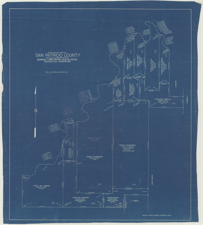
San Patricio County Working Sketch 11

Print $20.00
- Digital $50.00
San Patricio County Working Sketch 11
1948
Size 34.7 x 31.3 inches
Map/Doc 63773
Flight Mission No. DQO-2K, Frame 143, Galveston County


Print $20.00
- Digital $50.00
Flight Mission No. DQO-2K, Frame 143, Galveston County
1952
Size 18.8 x 22.5 inches
Map/Doc 85040
Pecos County Sketch File 54


Print $20.00
- Digital $50.00
Pecos County Sketch File 54
Size 14.5 x 22.4 inches
Map/Doc 12180
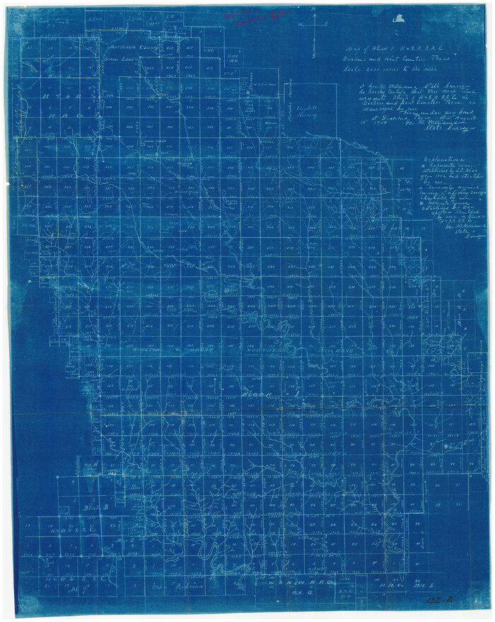
Map of Block 1, H. & G. N. Railroad Company

Print $20.00
- Digital $50.00
Map of Block 1, H. & G. N. Railroad Company
1909
Size 24.0 x 30.1 inches
Map/Doc 91017
Terry County Sketch File 2


Print $8.00
- Digital $50.00
Terry County Sketch File 2
Size 8.9 x 11.4 inches
Map/Doc 38012
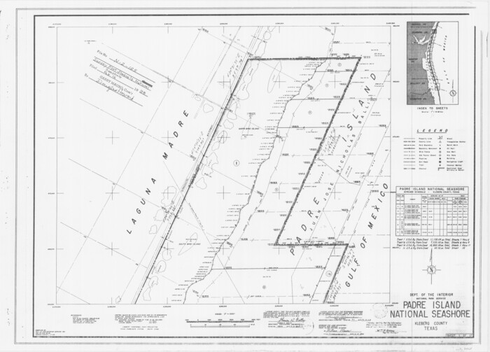
Padre Island National Seashore

Print $4.00
- Digital $50.00
Padre Island National Seashore
Size 16.0 x 22.2 inches
Map/Doc 60525
Eastland County Working Sketch 12
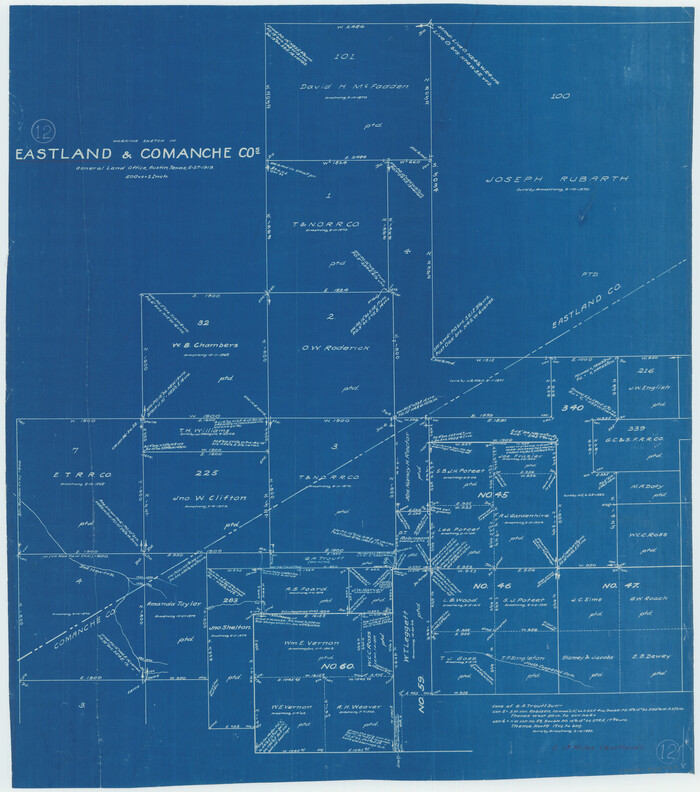

Print $20.00
- Digital $50.00
Eastland County Working Sketch 12
1919
Size 23.8 x 21.1 inches
Map/Doc 68793
Upton County Working Sketch 47


Print $20.00
- Digital $50.00
Upton County Working Sketch 47
1973
Size 24.8 x 26.7 inches
Map/Doc 69543
[Maps of surveys in Reeves & Culberson Cos]
![61134, [Maps of surveys in Reeves & Culberson Cos], General Map Collection](https://historictexasmaps.com/wmedia_w700/maps/61134.tif.jpg)
![61134, [Maps of surveys in Reeves & Culberson Cos], General Map Collection](https://historictexasmaps.com/wmedia_w700/maps/61134.tif.jpg)
Print $20.00
- Digital $50.00
[Maps of surveys in Reeves & Culberson Cos]
1937
Size 30.7 x 24.9 inches
Map/Doc 61134
![93127, [PSL Block B-19], Twichell Survey Records](https://historictexasmaps.com/wmedia_w1800h1800/maps/93127-1.tif.jpg)
