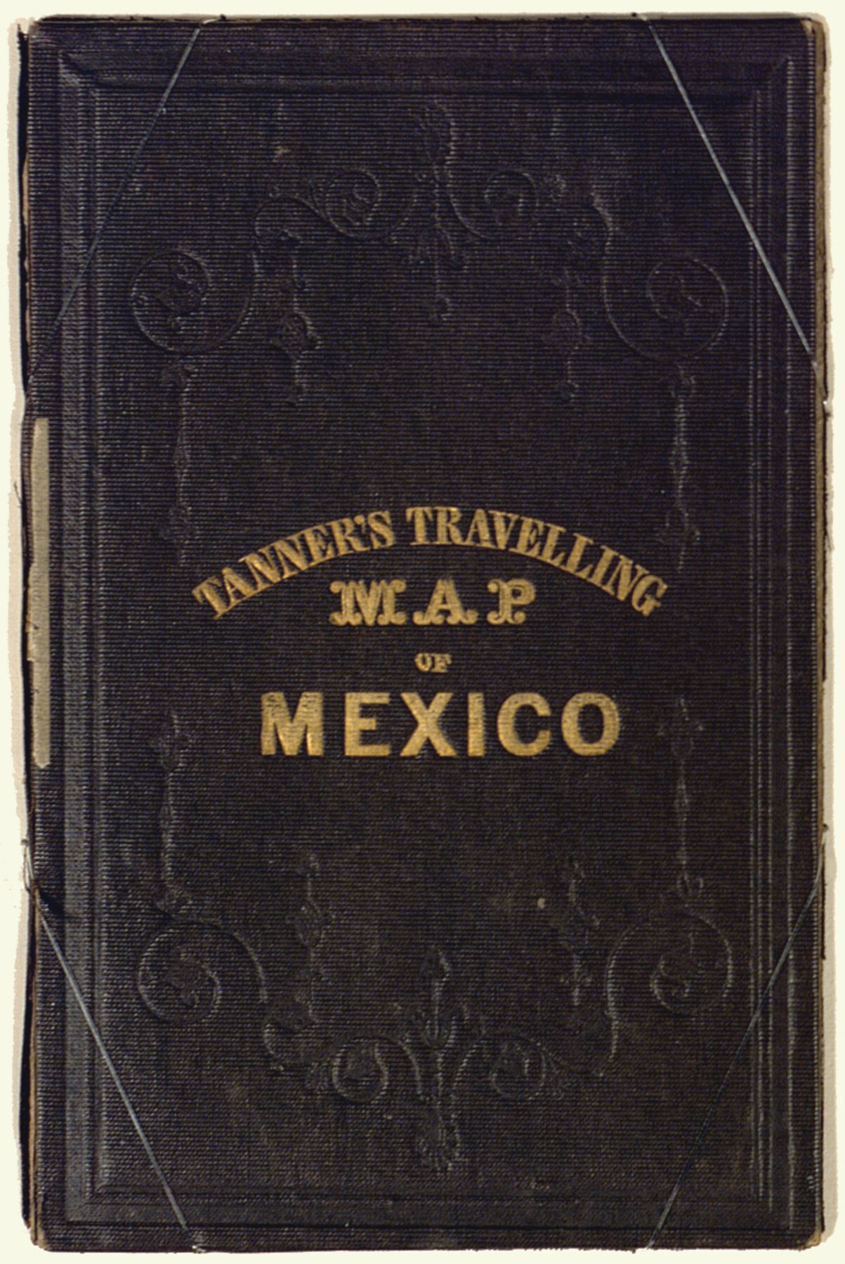
Tanner's Travelling Map of Mexico
[Cover for] A Map of the United States of Mexico as organized and defined by the several Acts of the Congress of that Republic, constructed from a great variety of printed and manuscript documents
-
Map/Doc
93877
-
Collection
Holcomb Map Collection
-
Object Dates
1847 (Creation Date)
-
People and Organizations
H. S. Tanner (Publisher)
-
Subjects
Mexico
-
Height x Width
6.2 x 4.1 inches
15.8 x 10.4 cm
-
Comments
See 93876 for map contained in this cover. Courtesy of Frank and Carol Holcomb.
Part of: Holcomb Map Collection
Mapa de los Estados Unidos de Méjico, Segun lo organizado y definido por las varias actas del Congreso de dicha Republica: y construido por las mejores autoridades

Print $20.00
- Digital $50.00
Mapa de los Estados Unidos de Méjico, Segun lo organizado y definido por las varias actas del Congreso de dicha Republica: y construido por las mejores autoridades
1828
Size 29.1 x 41.6 inches
Map/Doc 93846
Mexico and Guatimala

Print $20.00
- Digital $50.00
Mexico and Guatimala
1828
Size 9.4 x 11.4 inches
Map/Doc 97524
L'Amerique Meridionale et Septentrionale

Print $20.00
- Digital $50.00
L'Amerique Meridionale et Septentrionale
1731
Size 20.0 x 28.3 inches
Map/Doc 93825
America with those known parts in that unknowne worlde both people and manner of buildings

Print $20.00
- Digital $50.00
America with those known parts in that unknowne worlde both people and manner of buildings
1626
Size 17.1 x 22.2 inches
Map/Doc 93816
Map of North America

Print $20.00
- Digital $50.00
Map of North America
1720
Size 25.0 x 39.6 inches
Map/Doc 93823
Nova et Acurata Totius Americae Tabula

Print $40.00
Nova et Acurata Totius Americae Tabula
1608
Size 40.8 x 56.5 inches
Map/Doc 97019
Map of South America designed to accompany Smith's Geography of Schools

Print $20.00
- Digital $50.00
Map of South America designed to accompany Smith's Geography of Schools
1850
Size 12.0 x 9.8 inches
Map/Doc 93891
Carte de la Nouvelle France ou le voit le cours des Grandes Rivieres de S. Laurens & de Mississipi

Print $20.00
- Digital $50.00
Carte de la Nouvelle France ou le voit le cours des Grandes Rivieres de S. Laurens & de Mississipi
1720
Size 25.9 x 41.5 inches
Map/Doc 93822
Colton's New Map of the State of Texas, the Indian Territory and adjoining portions of New Mexico, Louisiana and Arkansas

Print $2.00
- Digital $50.00
Colton's New Map of the State of Texas, the Indian Territory and adjoining portions of New Mexico, Louisiana and Arkansas
1882
Size 8.5 x 5.0 inches
Map/Doc 93921
Richardson's New Map of the State of Texas Including Part of Mexico Compiled From Government Surveys and Other Authentic Documents

Print $20.00
- Digital $50.00
Richardson's New Map of the State of Texas Including Part of Mexico Compiled From Government Surveys and Other Authentic Documents
1860
Size 28.5 x 36.3 inches
Map/Doc 96788
A Visit to Texas: Being The Journal of a Traveler Through Those Parts Most Interesting to American Settlers. With Descriptions of Scenery, Habits, & c. &c.

Print $560.00
- Digital $50.00
A Visit to Texas: Being The Journal of a Traveler Through Those Parts Most Interesting to American Settlers. With Descriptions of Scenery, Habits, & c. &c.
1834
Size 8.0 x 5.2 inches
Map/Doc 93849
Bird's Eye View of the City of Houston, Texas

Print $20.00
- Digital $50.00
Bird's Eye View of the City of Houston, Texas
1873
Size 25.2 x 31.5 inches
Map/Doc 93908
You may also like
Harris County Rolled Sketch 61

Print $20.00
- Digital $50.00
Harris County Rolled Sketch 61
1928
Size 25.7 x 26.8 inches
Map/Doc 6107
Haskell County

Print $20.00
- Digital $50.00
Haskell County
1933
Size 41.7 x 36.2 inches
Map/Doc 77307
[Leagues 152 and 153]
![90287, [Leagues 152 and 153], Twichell Survey Records](https://historictexasmaps.com/wmedia_w700/maps/90287-1.tif.jpg)
Print $20.00
- Digital $50.00
[Leagues 152 and 153]
Size 16.4 x 22.4 inches
Map/Doc 90287

Flight Mission No. CRE-2R, Frame 80, Jackson County

Print $20.00
- Digital $50.00
Flight Mission No. CRE-2R, Frame 80, Jackson County
1956
Size 18.7 x 22.3 inches
Map/Doc 85352
Val Verde County Sketch File Z4

Print $8.00
- Digital $50.00
Val Verde County Sketch File Z4
1885
Size 14.3 x 8.9 inches
Map/Doc 39134
Aransas County Sketch File 24a

Print $42.00
- Digital $50.00
Aransas County Sketch File 24a
1941
Size 11.6 x 8.6 inches
Map/Doc 13195
Reeves County Rolled Sketch 8

Print $40.00
- Digital $50.00
Reeves County Rolled Sketch 8
Size 22.6 x 64.6 inches
Map/Doc 9848
The Judicial District/County of Smith. Abolished, Spring 1842

Print $20.00
The Judicial District/County of Smith. Abolished, Spring 1842
2020
Size 19.6 x 21.7 inches
Map/Doc 96347
General Highway Map, El Paso County, Texas

Print $20.00
General Highway Map, El Paso County, Texas
1961
Size 18.1 x 24.5 inches
Map/Doc 79456
Map of Calhoun County, Texas

Print $20.00
- Digital $50.00
Map of Calhoun County, Texas
1879
Size 22.8 x 18.7 inches
Map/Doc 670
Old Miscellaneous File 9

Print $4.00
- Digital $50.00
Old Miscellaneous File 9
1871
Size 9.8 x 8.0 inches
Map/Doc 75433