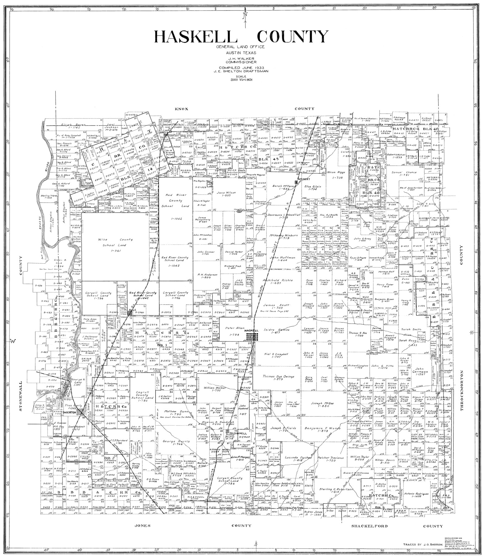
Haskell County
-
Map/Doc
77307
-
Collection
General Map Collection
-
Object Dates
1933 (Creation Date)
-
People and Organizations
John E. Shelton Jr. (Draftsman)
-
Counties
Haskell
-
Subjects
County
-
Height x Width
41.7 x 36.2 inches
105.9 x 91.9 cm
Part of: General Map Collection
Houston County Working Sketch 23

Print $20.00
- Digital $50.00
Houston County Working Sketch 23
1983
Size 19.4 x 25.3 inches
Map/Doc 66253
Hardin County Sketch File 47

Print $4.00
- Digital $50.00
Hardin County Sketch File 47
1875
Size 7.2 x 7.2 inches
Map/Doc 25200
Harris County

Print $40.00
- Digital $50.00
Harris County
1896
Size 44.8 x 67.5 inches
Map/Doc 66856
Calhoun County Aerial Photograph Index Sheet 2

Print $20.00
- Digital $50.00
Calhoun County Aerial Photograph Index Sheet 2
1953
Size 24.1 x 19.8 inches
Map/Doc 83671
Pecos County Sketch File 49b

Print $6.00
- Digital $50.00
Pecos County Sketch File 49b
1920
Size 16.9 x 11.8 inches
Map/Doc 33766
Hardeman County Rolled Sketch 25

Print $20.00
- Digital $50.00
Hardeman County Rolled Sketch 25
1985
Size 20.9 x 15.1 inches
Map/Doc 6075
Crosby County Sketch File 19

Print $6.00
- Digital $50.00
Crosby County Sketch File 19
1910
Size 8.2 x 8.1 inches
Map/Doc 20084
Medina County Sketch File 11

Print $14.00
- Digital $50.00
Medina County Sketch File 11
1907
Size 10.4 x 6.6 inches
Map/Doc 31461
Hardin County Working Sketch 3

Print $3.00
- Digital $50.00
Hardin County Working Sketch 3
1906
Size 9.1 x 11.0 inches
Map/Doc 63401
Wood County Working Sketch 23

Print $40.00
- Digital $50.00
Wood County Working Sketch 23
1962
Size 54.9 x 43.5 inches
Map/Doc 78230
Atascosa County Working Sketch Graphic Index

Print $20.00
- Digital $50.00
Atascosa County Working Sketch Graphic Index
1948
Size 46.1 x 42.8 inches
Map/Doc 76458

You may also like
General Highway Map. Detail of Cities and Towns in Fort Bend County, Texas

Print $20.00
General Highway Map. Detail of Cities and Towns in Fort Bend County, Texas
1961
Size 18.1 x 24.5 inches
Map/Doc 79470
General Highway Map, Hartley County, Texas

Print $20.00
General Highway Map, Hartley County, Texas
1961
Size 24.8 x 18.2 inches
Map/Doc 79510
Navigation Maps of Gulf Intracoastal Waterway, Port Arthur to Brownsville, Texas

Print $4.00
- Digital $50.00
Navigation Maps of Gulf Intracoastal Waterway, Port Arthur to Brownsville, Texas
1951
Size 16.8 x 21.6 inches
Map/Doc 65419
Rand McNally New Official Railroad Map of the United States and Southern Canada

Print $20.00
- Digital $50.00
Rand McNally New Official Railroad Map of the United States and Southern Canada
1910
Size 29.5 x 40.0 inches
Map/Doc 95860
Presidio County Working Sketch 111

Print $20.00
- Digital $50.00
Presidio County Working Sketch 111
1981
Size 17.1 x 20.4 inches
Map/Doc 71788

Gaines County Sketch File 12

Print $4.00
- Digital $50.00
Gaines County Sketch File 12
1950
Size 14.3 x 8.8 inches
Map/Doc 23198
United States - Gulf Coast - Galveston to Rio Grande

Print $20.00
- Digital $50.00
United States - Gulf Coast - Galveston to Rio Grande
1940
Size 27.0 x 18.2 inches
Map/Doc 72755
Brazoria County Working Sketch 27

Print $20.00
- Digital $50.00
Brazoria County Working Sketch 27
1970
Size 41.8 x 32.5 inches
Map/Doc 67512
Tom Green County Sketch File 58

Print $6.00
- Digital $50.00
Tom Green County Sketch File 58
Size 15.9 x 9.4 inches
Map/Doc 38225
Bee County Sketch File Y

Print $4.00
- Digital $50.00
Bee County Sketch File Y
Size 8.8 x 5.4 inches
Map/Doc 14255
Medina County Working Sketch 25

Print $20.00
- Digital $50.00
Medina County Working Sketch 25
1985
Size 37.6 x 42.9 inches
Map/Doc 70940