Events of the Texas Revolution
May - December, 1835
-
Map/Doc
97489
-
Collection
GIS Educational Maps
-
Object Dates
2025 (Creation Date)
-
People and Organizations
Jasyn Twine (Compiler)
Lynnette Cen (Compiler)
Lila Rakoczy (Compiler)
Kelsey Bonnell (Compiler)
-
Subjects
Geographic Information System Military Mexican Texas Republic of Texas
-
Height x Width
8.5 x 11.0 inches
21.6 x 27.9 cm
-
Medium
pdf
Part of: GIS Educational Maps
New Mexico and Adjacent Lands


New Mexico and Adjacent Lands
2022
Size 8.5 x 11.0 inches
Map/Doc 96977
Disputed Territory Between Mexico and the United States


Disputed Territory Between Mexico and the United States
2023
Size 11.0 x 8.5 inches
Map/Doc 97129
Map Showing the Distribution of the Slave Population of the Southern States of the United States


Map Showing the Distribution of the Slave Population of the Southern States of the United States
2022
Size 8.5 x 11.0 inches
Map/Doc 96677
United States Population Distribution by County and Territory, per the U.S. Census of 1900


United States Population Distribution by County and Territory, per the U.S. Census of 1900
2025
Size 8.5 x 11.0 inches
Map/Doc 97481
Primary Transportation Routes through Mexican Texas


Primary Transportation Routes through Mexican Texas
2024
Size 11.0 x 8.5 inches
Map/Doc 97463
Explorations of the Louisiana Purchase


Explorations of the Louisiana Purchase
2023
Size 8.5 x 11.0 inches
Map/Doc 97183
United States Population Distribution by County and Territory, per the U.S. Census of 1890


United States Population Distribution by County and Territory, per the U.S. Census of 1890
2025
Size 8.5 x 11.0 inches
Map/Doc 97480
Contracted Boundaries and Timeline of Mexican Empresario Colonies in Texas


Contracted Boundaries and Timeline of Mexican Empresario Colonies in Texas
2025
Size 17.0 x 11.0 inches
Map/Doc 97439
Aerial View of San Antonio de Béxar and Alamo Fortifications
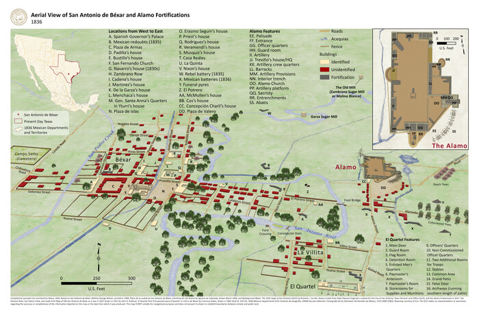

Aerial View of San Antonio de Béxar and Alamo Fortifications
2026
Size 11.0 x 17.0 inches
Map/Doc 97522
You may also like
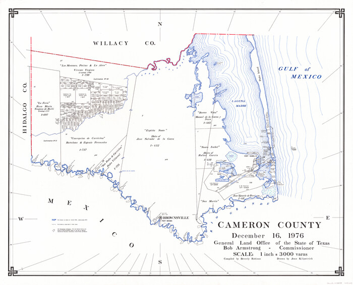
Cameron County

Print $20.00
- Digital $50.00
Cameron County
1976
Size 32.2 x 39.0 inches
Map/Doc 73098
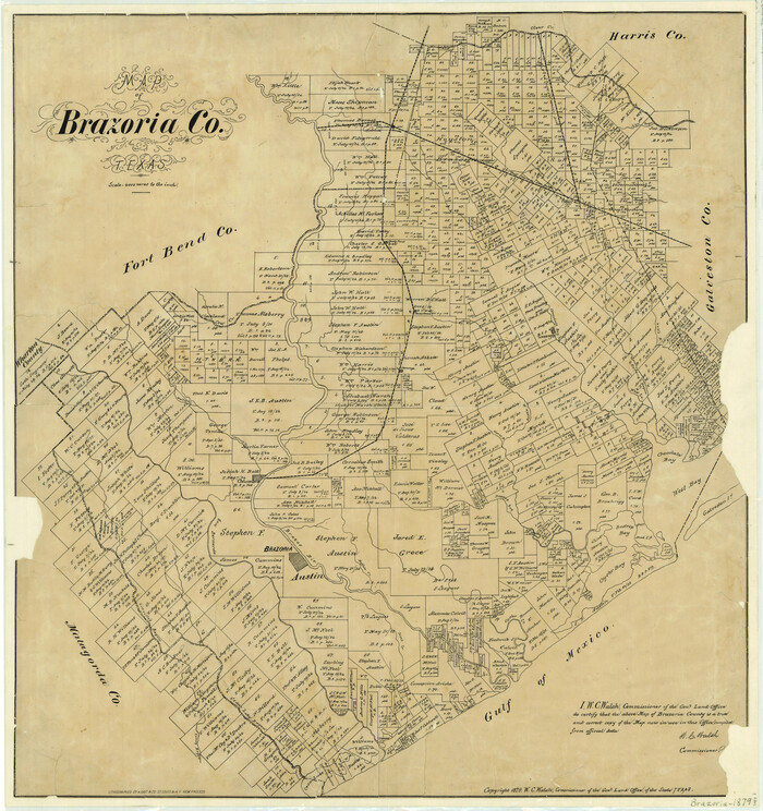
Brazoria County

Print $20.00
- Digital $50.00
Brazoria County
1879
Size 26.6 x 25.1 inches
Map/Doc 859
Angelina County Working Sketch 46


Print $20.00
- Digital $50.00
Angelina County Working Sketch 46
1976
Size 31.2 x 31.3 inches
Map/Doc 67129
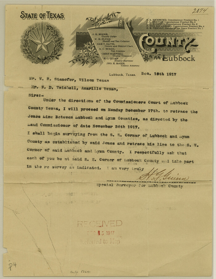
Lynn County Boundary File 6a

Print $2.00
- Digital $50.00
Lynn County Boundary File 6a
Size 11.2 x 8.7 inches
Map/Doc 56641
Lampasas County Boundary File 9


Print $6.00
- Digital $50.00
Lampasas County Boundary File 9
Size 11.2 x 8.7 inches
Map/Doc 56181
South Sulphur River, Charleston Sheet


Print $20.00
- Digital $50.00
South Sulphur River, Charleston Sheet
1924
Size 16.6 x 18.0 inches
Map/Doc 78326
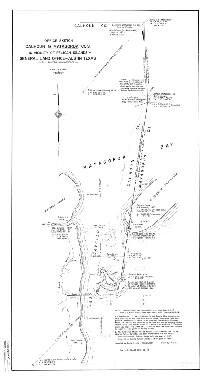
Calhoun County Rolled Sketch 20

Print $20.00
- Digital $50.00
Calhoun County Rolled Sketch 20
1959
Size 36.9 x 20.7 inches
Map/Doc 5372
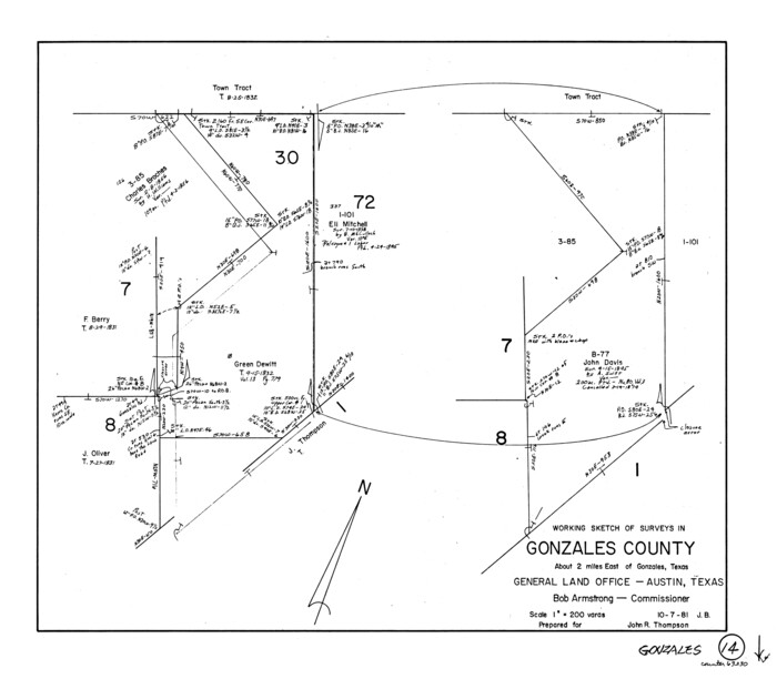
Gonzales County Working Sketch 14

Print $20.00
- Digital $50.00
Gonzales County Working Sketch 14
1981
Size 18.3 x 20.9 inches
Map/Doc 63230
Flight Mission No. DCL-7C, Frame 36, Kenedy County


Print $20.00
- Digital $50.00
Flight Mission No. DCL-7C, Frame 36, Kenedy County
1943
Size 18.5 x 22.4 inches
Map/Doc 86024
Township 2 South Range 12 West, South Western District, Louisiana


Print $20.00
- Digital $50.00
Township 2 South Range 12 West, South Western District, Louisiana
1884
Size 19.7 x 24.7 inches
Map/Doc 65882
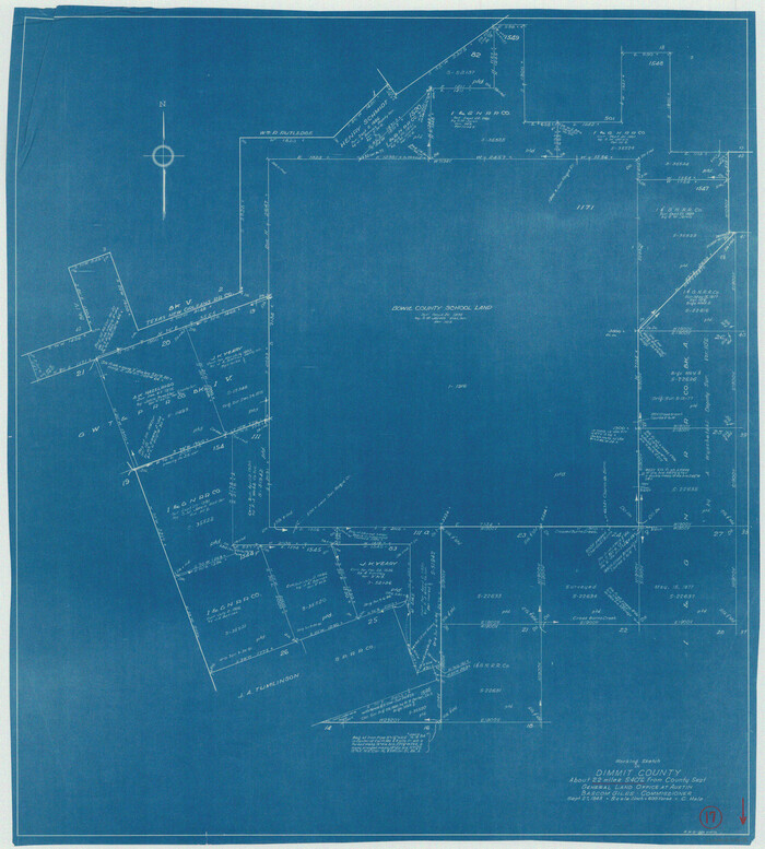
Dimmit County Working Sketch 17

Print $20.00
- Digital $50.00
Dimmit County Working Sketch 17
1943
Size 27.4 x 24.7 inches
Map/Doc 68678


