
Castro County Sketch File 18
1988

Deaf Smith County Sketch File 8
1988

Randall County Rolled Sketch 9A
1985

Randall County Rolled Sketch 9B
1985

Castro County Sketch File 17
1981

Randall County Working Sketch 2
1980
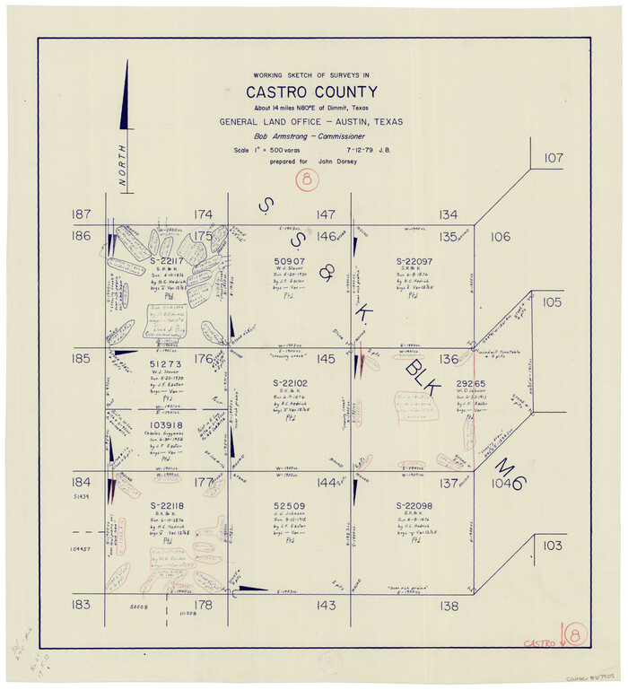
Castro County Working Sketch 8
1979
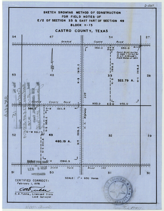
Castro County Sketch File 15
1978

Randall County Rolled Sketch 8
1975

Castro County Working Sketch 7
1975
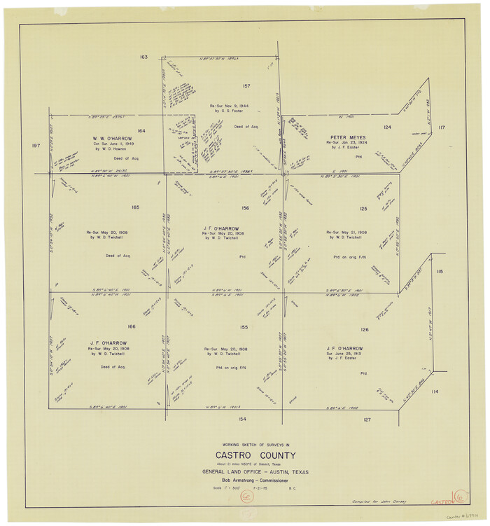
Castro County Working Sketch 6
1975
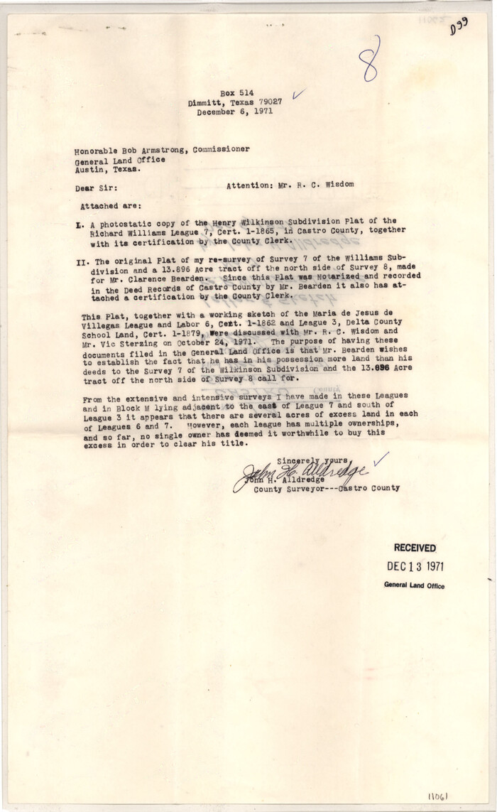
Castro County Sketch File 14
1971
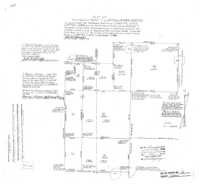
Castro County Rolled Sketch 13
1967

Castro County Rolled Sketch 13A
1967
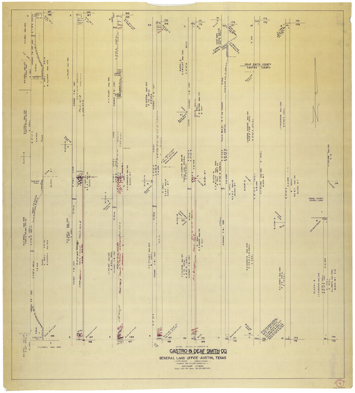
Castro County Working Sketch 9
1965

Castro County Rolled Sketch 14
1965
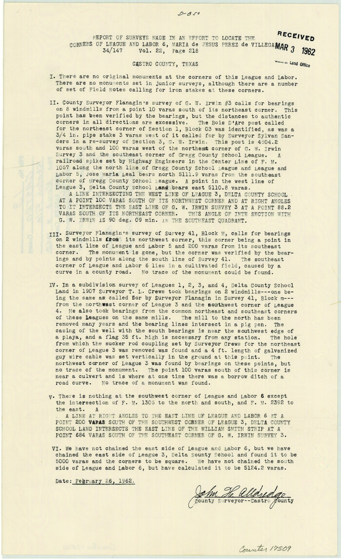
Castro County Sketch File 13
1962

General Highway Map, Castro County, Texas
1961
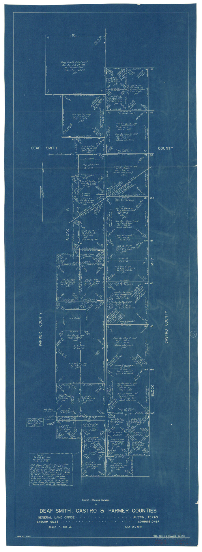
Deaf Smith County Working Sketch 3
1951
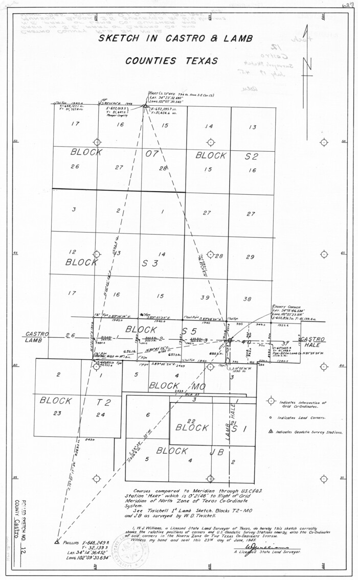
Castro County Rolled Sketch 12
1945
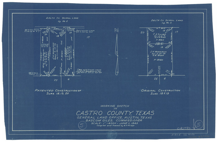
Castro County Working Sketch 5
1943
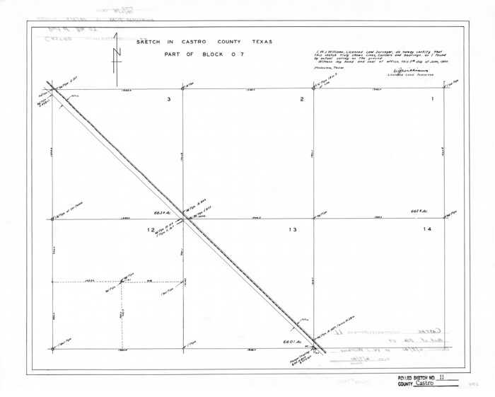
Castro County Rolled Sketch 11
1940
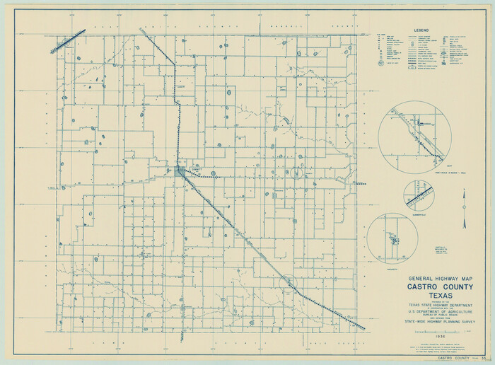
General Highway Map, Castro County, Texas
1940
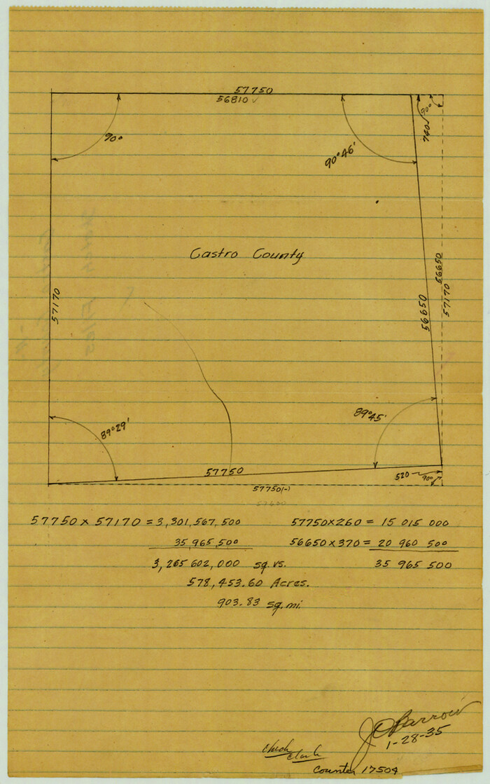
Castro County Sketch File 11
1935

Randall County Working Sketch 3
1934

Castro County Working Sketch Graphic Index
1932

Castro County Sketch File 18
1988
-
Size
40.4 x 37.7 inches
-
Map/Doc
10330
-
Creation Date
1988

Deaf Smith County Sketch File 8
1988
-
Size
24.3 x 32.9 inches
-
Map/Doc
11304
-
Creation Date
1988

Randall County Rolled Sketch 9A
1985
-
Size
44.5 x 35.0 inches
-
Map/Doc
10314
-
Creation Date
1985

Randall County Rolled Sketch 9B
1985
-
Size
45.0 x 34.5 inches
-
Map/Doc
9810
-
Creation Date
1985

Castro County Sketch File 17
1981
-
Size
14.8 x 25.7 inches
-
Map/Doc
11063
-
Creation Date
1981

Randall County Working Sketch 2
1980
-
Size
28.6 x 31.3 inches
-
Map/Doc
71839
-
Creation Date
1980

Castro County Working Sketch 8
1979
-
Size
21.2 x 19.3 inches
-
Map/Doc
67903
-
Creation Date
1979

Castro County Sketch File 15
1978
-
Size
11.2 x 8.7 inches
-
Map/Doc
17511
-
Creation Date
1978

Randall County Rolled Sketch 8
1975
-
Size
33.7 x 43.7 inches
-
Map/Doc
10620
-
Creation Date
1975

Castro County Working Sketch 7
1975
-
Size
42.8 x 53.1 inches
-
Map/Doc
67902
-
Creation Date
1975

Castro County Working Sketch 6
1975
-
Size
28.4 x 26.4 inches
-
Map/Doc
67901
-
Creation Date
1975

Castro County Sketch File 14
1971
-
Size
13.9 x 25.1 inches
-
Map/Doc
11061
-
Creation Date
1971

Castro County Rolled Sketch 13
1967
-
Size
18.7 x 20.1 inches
-
Map/Doc
5422
-
Creation Date
1967

Castro County Rolled Sketch 13A
1967
-
Size
20.0 x 18.9 inches
-
Map/Doc
5423
-
Creation Date
1967

Castro County Working Sketch 9
1965
-
Size
47.1 x 42.7 inches
-
Map/Doc
68646
-
Creation Date
1965

Castro County Rolled Sketch 14
1965
-
Size
47.6 x 43.5 inches
-
Map/Doc
8608
-
Creation Date
1965

Castro County Sketch File 13
1962
-
Size
14.1 x 8.6 inches
-
Map/Doc
17509
-
Creation Date
1962

General Highway Map, Castro County, Texas
1961
-
Size
18.2 x 24.7 inches
-
Map/Doc
79403
-
Creation Date
1961

Deaf Smith County Working Sketch 3
1951
-
Size
61.4 x 22.3 inches
-
Map/Doc
68643
-
Creation Date
1951

Castro County Rolled Sketch 12
1945
-
Size
25.7 x 15.8 inches
-
Map/Doc
5421
-
Creation Date
1945

Castro County Working Sketch 5
1943
-
Size
11.9 x 18.3 inches
-
Map/Doc
67900
-
Creation Date
1943

Castro County Rolled Sketch 11
1940
-
Size
20.2 x 25.3 inches
-
Map/Doc
5420
-
Creation Date
1940

General Highway Map, Castro County, Texas
1940
-
Size
18.5 x 25.1 inches
-
Map/Doc
79043
-
Creation Date
1940

Castro County Sketch File 11
1935
-
Size
11.4 x 7.1 inches
-
Map/Doc
17504
-
Creation Date
1935

Randall County Working Sketch 3
1934
-
Size
48.8 x 42.5 inches
-
Map/Doc
71840
-
Creation Date
1934

Castro County
1932
-
Size
46.8 x 40.5 inches
-
Map/Doc
1797
-
Creation Date
1932

Castro County
1932
-
Size
43.4 x 38.6 inches
-
Map/Doc
73102
-
Creation Date
1932
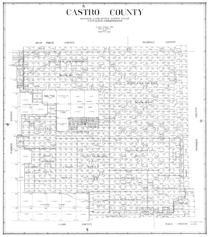
Castro County
1932
-
Size
39.2 x 34.4 inches
-
Map/Doc
77234
-
Creation Date
1932
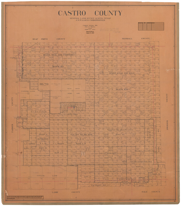
Castro County
1932
-
Size
44.2 x 38.7 inches
-
Map/Doc
95451
-
Creation Date
1932

Castro County Working Sketch Graphic Index
1932
-
Size
43.1 x 38.2 inches
-
Map/Doc
76490
-
Creation Date
1932