
Coke County Sketch File 37
2004

Coke County Rolled Sketch 33
2004
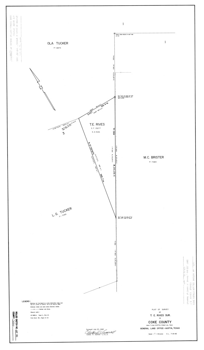
Coke County Rolled Sketch 32
1982
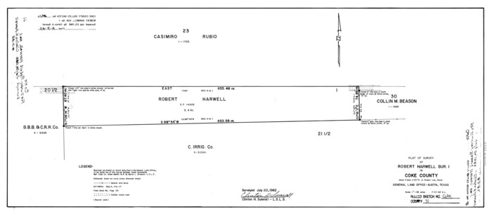
Coke County Rolled Sketch 31
1982
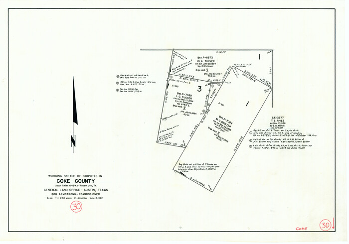
Coke County Working Sketch 30
1982
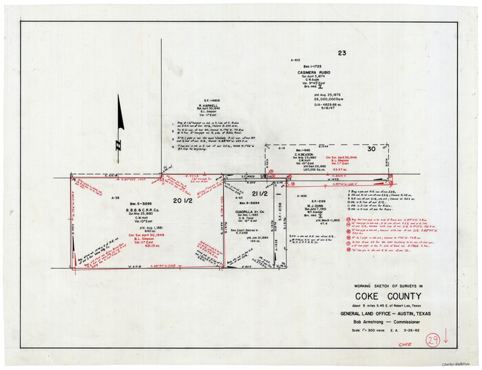
Coke County Working Sketch 29
1982
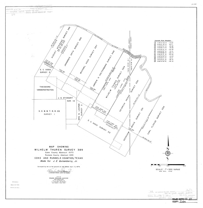
Coke County Rolled Sketch 25
1974

Coke County Sketch File 35
1967

Coke County Working Sketch 28
1965

Coke County Working Sketch 27
1962
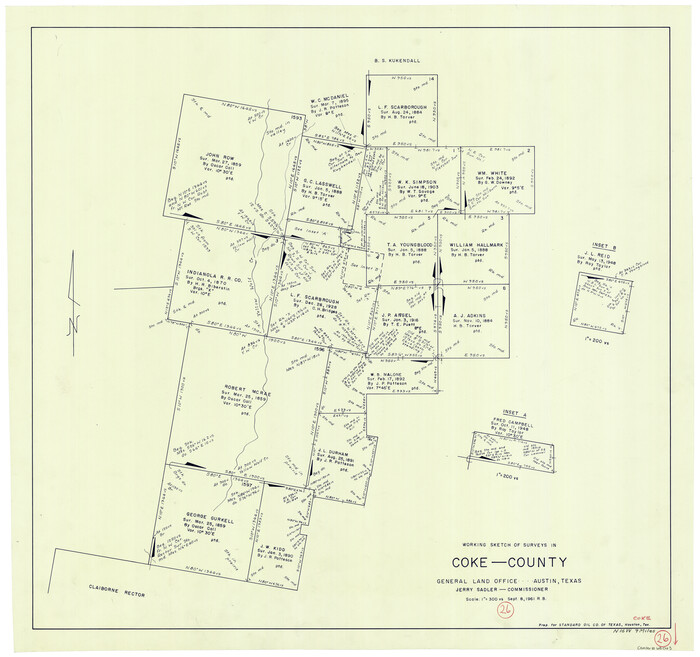
Coke County Working Sketch 26
1961
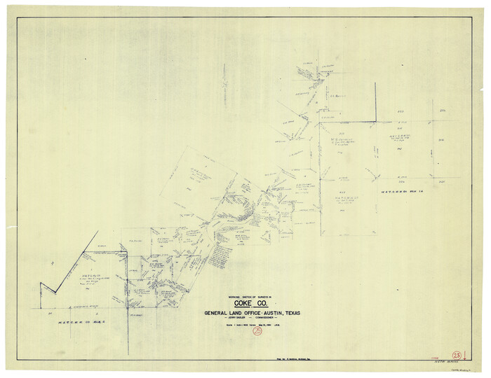
Coke County Working Sketch 25
1961

General Highway Map, Coke County, Texas
1961
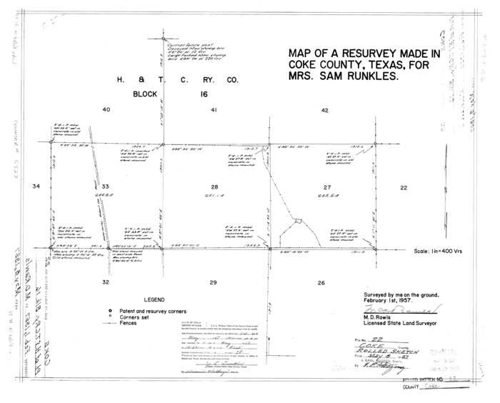
Coke County Rolled Sketch 22
1957
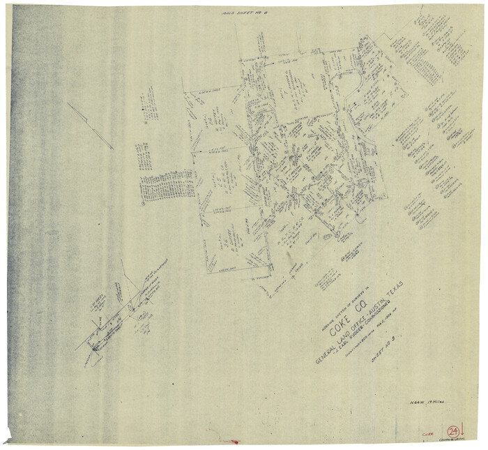
Coke County Working Sketch 24
1956

Mitchell County Working Sketch 5
1956

Coke County Rolled Sketch 19
1954
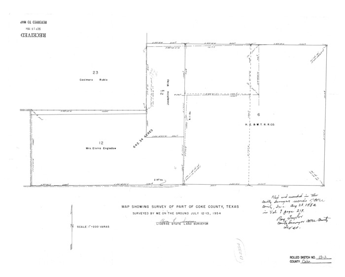
Coke County Rolled Sketch 19A
1954

Runnels County Rolled Sketch 46
1954

Runnels County Rolled Sketch 45
1954
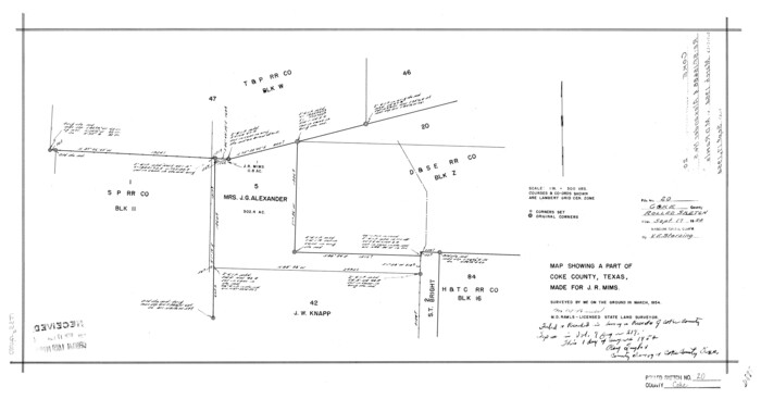
Coke County Rolled Sketch 20
1954
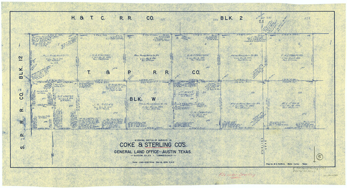
Sterling County Working Sketch 5
1954
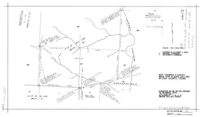
Coke County Rolled Sketch 21
1954
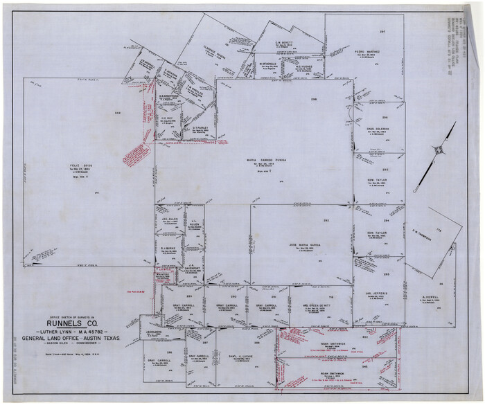
Runnels County Rolled Sketch 46
1954
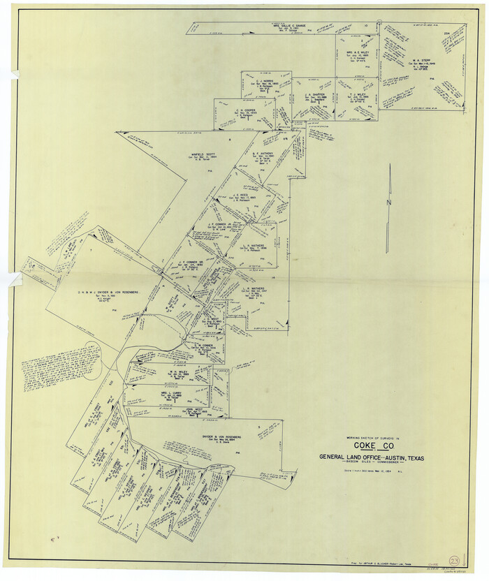
Coke County Working Sketch 23
1954

Coke County Rolled Sketch 17
1953

Runnels County Rolled Sketch 35
1950
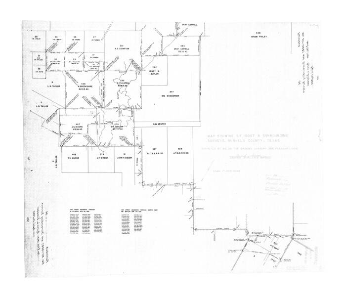
Runnels County Rolled Sketch 34
1950

Coke County Rolled Sketch 16
1950

Tom Green County Sketch File 75
1950

Coke County Sketch File 37
2004
-
Size
11.0 x 8.5 inches
-
Map/Doc
82988
-
Creation Date
2004

Coke County Rolled Sketch 33
2004
-
Size
28.9 x 40.5 inches
-
Map/Doc
82987
-
Creation Date
2004

Coke County Rolled Sketch 32
1982
-
Size
36.1 x 21.1 inches
-
Map/Doc
5527
-
Creation Date
1982

Coke County Rolled Sketch 31
1982
-
Size
13.3 x 30.2 inches
-
Map/Doc
5526
-
Creation Date
1982

Coke County Working Sketch 30
1982
-
Size
15.7 x 22.4 inches
-
Map/Doc
76064
-
Creation Date
1982

Coke County Working Sketch 29
1982
-
Size
19.6 x 25.4 inches
-
Map/Doc
68066
-
Creation Date
1982

Coke County Rolled Sketch 25
1974
-
Size
24.9 x 24.3 inches
-
Map/Doc
5525
-
Creation Date
1974

Coke County Sketch File 35
1967
-
Size
14.2 x 8.6 inches
-
Map/Doc
18649
-
Creation Date
1967

Coke County Working Sketch 28
1965
-
Size
32.7 x 42.2 inches
-
Map/Doc
68065
-
Creation Date
1965

Coke County Working Sketch 27
1962
-
Size
17.4 x 27.7 inches
-
Map/Doc
68064
-
Creation Date
1962

Coke County Working Sketch 26
1961
-
Size
29.1 x 31.2 inches
-
Map/Doc
68063
-
Creation Date
1961

Coke County Working Sketch 25
1961
-
Size
31.4 x 40.7 inches
-
Map/Doc
68062
-
Creation Date
1961

General Highway Map, Coke County, Texas
1961
-
Size
18.2 x 24.7 inches
-
Map/Doc
79411
-
Creation Date
1961

Coke County Rolled Sketch 22
1957
-
Size
18.2 x 22.6 inches
-
Map/Doc
5523
-
Creation Date
1957

Coke County Working Sketch 24
1956
-
Size
28.7 x 31.1 inches
-
Map/Doc
68061
-
Creation Date
1956

Mitchell County Working Sketch 5
1956
-
Size
60.4 x 28.2 inches
-
Map/Doc
71062
-
Creation Date
1956

Coke County Rolled Sketch 19
1954
-
Size
18.5 x 25.8 inches
-
Map/Doc
5519
-
Creation Date
1954

Coke County Rolled Sketch 19A
1954
-
Size
19.9 x 24.8 inches
-
Map/Doc
5520
-
Creation Date
1954

Runnels County Rolled Sketch 46
1954
-
Size
33.5 x 39.0 inches
-
Map/Doc
9872
-
Creation Date
1954

Runnels County Rolled Sketch 45
1954
-
Size
32.1 x 41.0 inches
-
Map/Doc
7532
-
Creation Date
1954

Coke County Rolled Sketch 20
1954
-
Size
16.0 x 30.5 inches
-
Map/Doc
5521
-
Creation Date
1954

Sterling County Working Sketch 5
1954
-
Size
18.9 x 34.9 inches
-
Map/Doc
63987
-
Creation Date
1954

Coke County Rolled Sketch 21
1954
-
Size
14.0 x 24.4 inches
-
Map/Doc
5522
-
Creation Date
1954

Runnels County Rolled Sketch 46
1954
-
Size
32.3 x 38.5 inches
-
Map/Doc
10622
-
Creation Date
1954

Coke County Working Sketch 23
1954
-
Size
42.4 x 35.7 inches
-
Map/Doc
68060
-
Creation Date
1954

Coke County Rolled Sketch 17
1953
-
Size
36.1 x 45.2 inches
-
Map/Doc
8631
-
Creation Date
1953

Runnels County Rolled Sketch 35
1950
-
Size
34.1 x 44.6 inches
-
Map/Doc
7523
-
Creation Date
1950

Runnels County Rolled Sketch 34
1950
-
Size
30.8 x 35.5 inches
-
Map/Doc
7521
-
Creation Date
1950

Coke County Rolled Sketch 16
1950
-
Size
44.0 x 34.3 inches
-
Map/Doc
8630
-
Creation Date
1950

Tom Green County Sketch File 75
1950
-
Size
18.1 x 22.5 inches
-
Map/Doc
12449
-
Creation Date
1950