Arizona Chemical Co. O'Donnell Plant


Print $20.00
- Digital $50.00
Arizona Chemical Co. O'Donnell Plant
Size: 30.2 x 33.2 inches
92947
Baker Addition to Lamesa, Part of Southwest Quarter Section 71, Block 35


Print $20.00
- Digital $50.00
Baker Addition to Lamesa, Part of Southwest Quarter Section 71, Block 35
Size: 23.8 x 19.5 inches
92576
Borden County Rolled Sketch 4


Print $40.00
- Digital $50.00
Borden County Rolled Sketch 4
Size: 57.4 x 55.0 inches
8447
Borden County Sketch File 1


Print $6.00
- Digital $50.00
Borden County Sketch File 1
Size: 16.2 x 11.0 inches
14701
Borden County Sketch File 10a


Print $40.00
- Digital $50.00
Borden County Sketch File 10a
Size: 21.0 x 37.5 inches
10935
Borden County Sketch File 1a
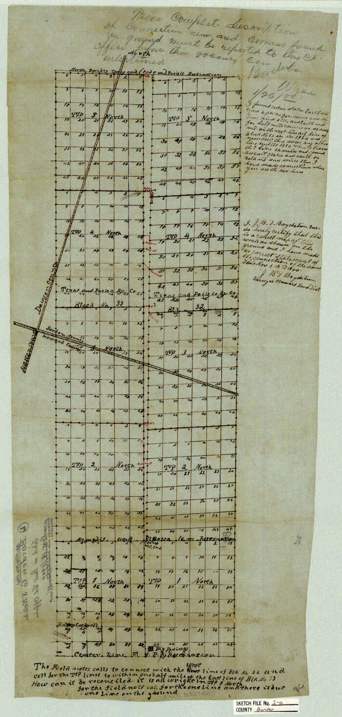

Print $40.00
- Digital $50.00
Borden County Sketch File 1a
1900
Size: 24.6 x 11.7 inches
10931
Borden County Sketch File 9

Print $6.00
- Digital $50.00
Borden County Sketch File 9
Size: 10.2 x 13.4 inches
14728
Borden County Working Sketch 11
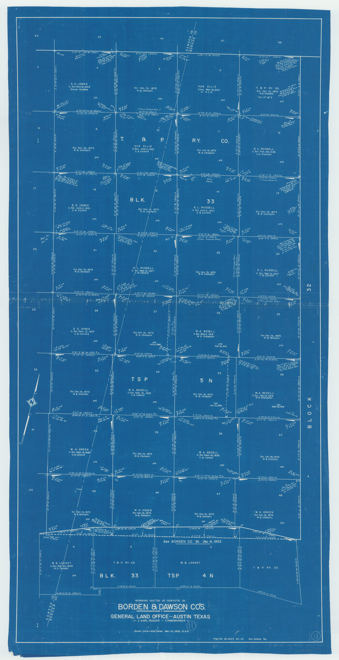

Print $40.00
- Digital $50.00
Borden County Working Sketch 11
1955
Size: 51.6 x 26.5 inches
67471
City of Lamesa, Texas
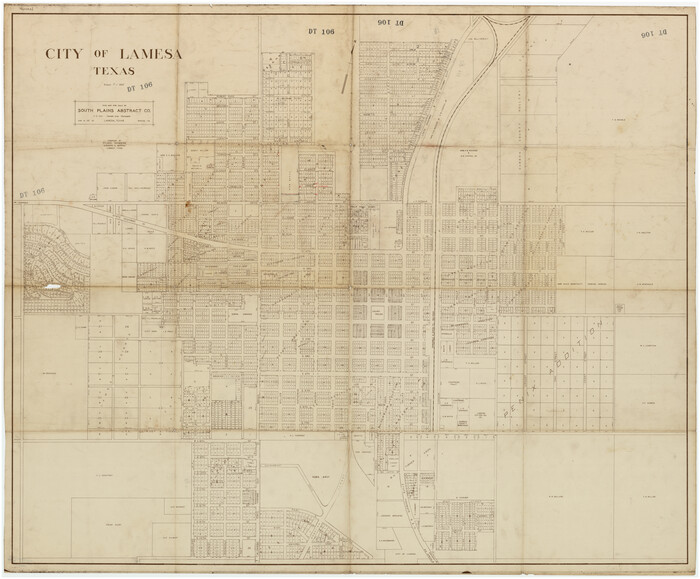

Print $40.00
- Digital $50.00
City of Lamesa, Texas
Size: 52.2 x 43.2 inches
89855
Counties of Martin, Dawson, Borden, Howard, Texas, Soash Lands, Big Spring Ranch
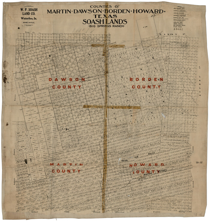

Print $20.00
- Digital $50.00
Counties of Martin, Dawson, Borden, Howard, Texas, Soash Lands, Big Spring Ranch
Size: 34.7 x 36.9 inches
93006
Counties of Martin, Dawson, Borden, and Howard, Texas Soash Lands, Big Springs Ranch


Print $20.00
- Digital $50.00
Counties of Martin, Dawson, Borden, and Howard, Texas Soash Lands, Big Springs Ranch
Size: 35.3 x 39.0 inches
91224
Dawson County Boundary File 1


Print $48.00
- Digital $50.00
Dawson County Boundary File 1
Size: 8.8 x 4.0 inches
52314
Dawson County Boundary File 2
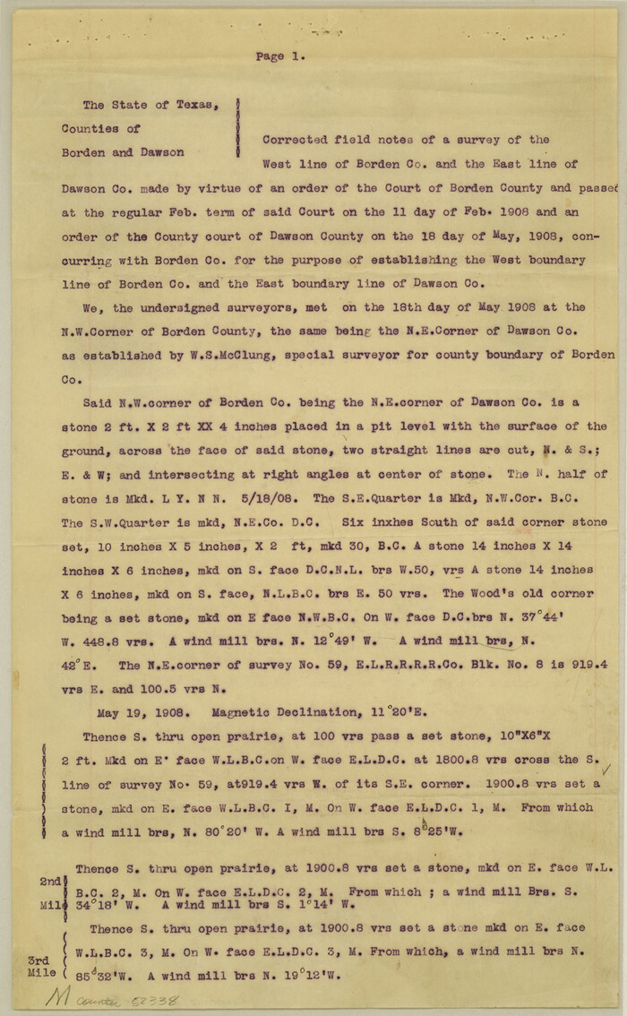

Print $18.00
- Digital $50.00
Dawson County Boundary File 2
Size: 14.2 x 8.8 inches
52338
Dawson County Boundary File 3
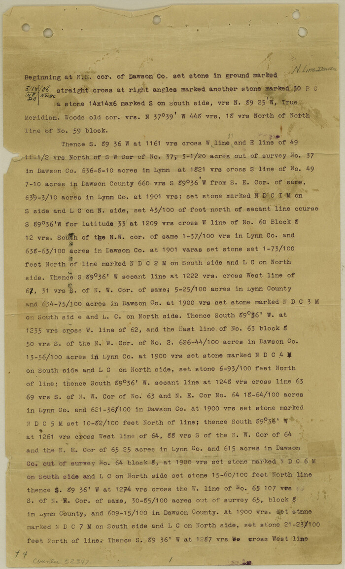

Print $36.00
- Digital $50.00
Dawson County Boundary File 3
Size: 14.1 x 8.6 inches
52347
Dawson County Boundary File 3 (1)


Print $40.00
- Digital $50.00
Dawson County Boundary File 3 (1)
Size: 11.1 x 35.8 inches
52365
Dawson County Boundary File 3 (2)
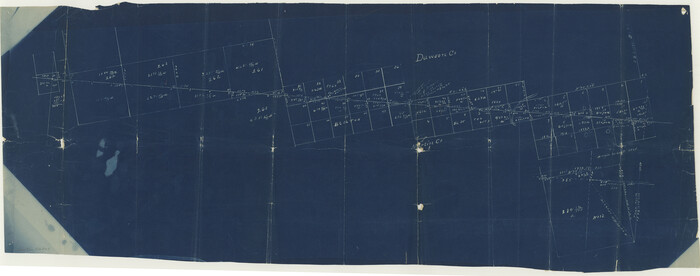

Print $40.00
- Digital $50.00
Dawson County Boundary File 3 (2)
Size: 13.2 x 33.5 inches
52367
Dawson County Boundary File 3 (3)


Print $60.00
- Digital $50.00
Dawson County Boundary File 3 (3)
Size: 11.0 x 35.8 inches
52369
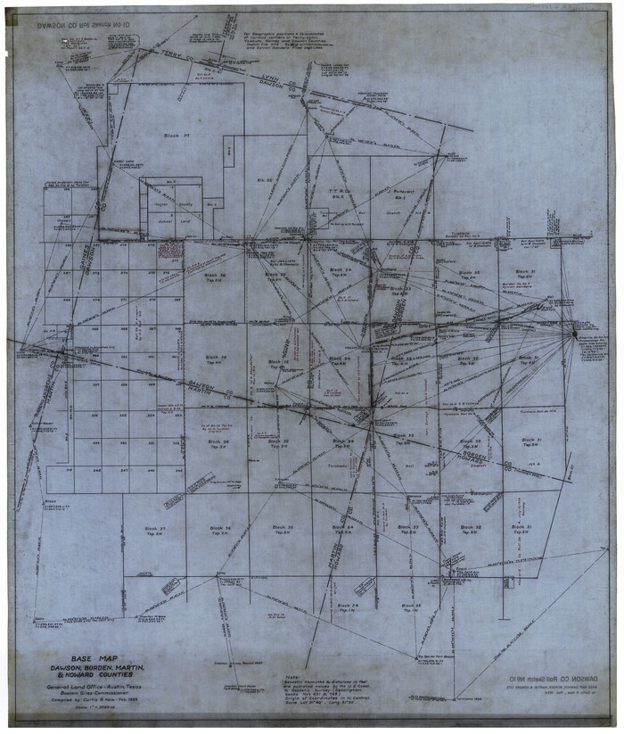
Dawson County Rolled Sketch 10

Print $20.00
- Digital $50.00
Dawson County Rolled Sketch 10
1954
Size: 44.5 x 37.9 inches
8774
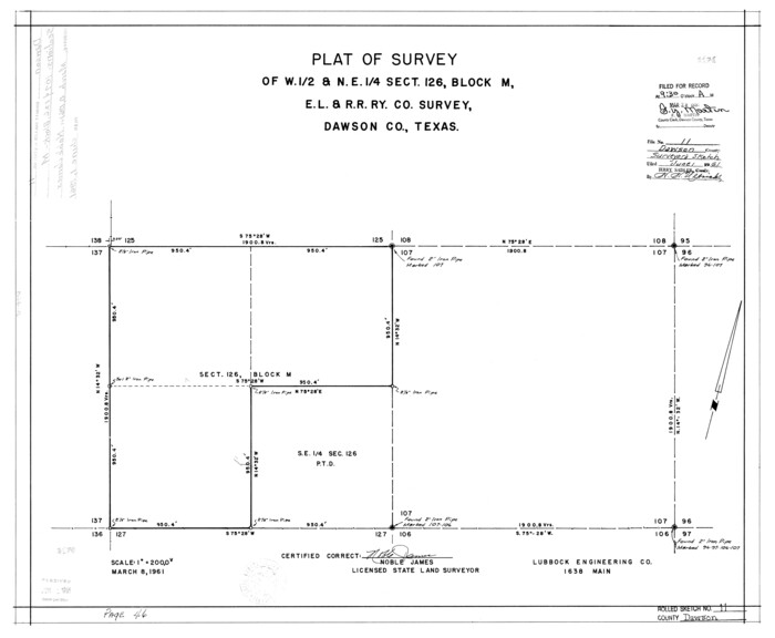
Dawson County Rolled Sketch 11

Print $20.00
- Digital $50.00
Dawson County Rolled Sketch 11
1961
Size: 21.5 x 26.1 inches
5694
Arizona Chemical Co. O'Donnell Plant


Print $20.00
- Digital $50.00
Arizona Chemical Co. O'Donnell Plant
-
Size
30.2 x 33.2 inches
-
Map/Doc
92947
Baker Addition to Lamesa, Part of Southwest Quarter Section 71, Block 35


Print $20.00
- Digital $50.00
Baker Addition to Lamesa, Part of Southwest Quarter Section 71, Block 35
-
Size
23.8 x 19.5 inches
-
Map/Doc
92576
Borden County Rolled Sketch 4


Print $40.00
- Digital $50.00
Borden County Rolled Sketch 4
-
Size
57.4 x 55.0 inches
-
Map/Doc
8447
Borden County Sketch File 1


Print $6.00
- Digital $50.00
Borden County Sketch File 1
-
Size
16.2 x 11.0 inches
-
Map/Doc
14701
Borden County Sketch File 10a


Print $40.00
- Digital $50.00
Borden County Sketch File 10a
-
Size
21.0 x 37.5 inches
-
Map/Doc
10935
Borden County Sketch File 1a


Print $40.00
- Digital $50.00
Borden County Sketch File 1a
1900
-
Size
24.6 x 11.7 inches
-
Map/Doc
10931
-
Creation Date
1900
Borden County Sketch File 9


Print $6.00
- Digital $50.00
Borden County Sketch File 9
-
Size
10.2 x 13.4 inches
-
Map/Doc
14728
Borden County Working Sketch 11


Print $40.00
- Digital $50.00
Borden County Working Sketch 11
1955
-
Size
51.6 x 26.5 inches
-
Map/Doc
67471
-
Creation Date
1955
City of Lamesa, Texas


Print $40.00
- Digital $50.00
City of Lamesa, Texas
-
Size
52.2 x 43.2 inches
-
Map/Doc
89855
Counties of Martin, Dawson, Borden, Howard, Texas, Soash Lands, Big Spring Ranch


Print $20.00
- Digital $50.00
Counties of Martin, Dawson, Borden, Howard, Texas, Soash Lands, Big Spring Ranch
-
Size
34.7 x 36.9 inches
-
Map/Doc
93006
Counties of Martin, Dawson, Borden, and Howard, Texas Soash Lands, Big Springs Ranch


Print $20.00
- Digital $50.00
Counties of Martin, Dawson, Borden, and Howard, Texas Soash Lands, Big Springs Ranch
-
Size
35.3 x 39.0 inches
-
Map/Doc
91224
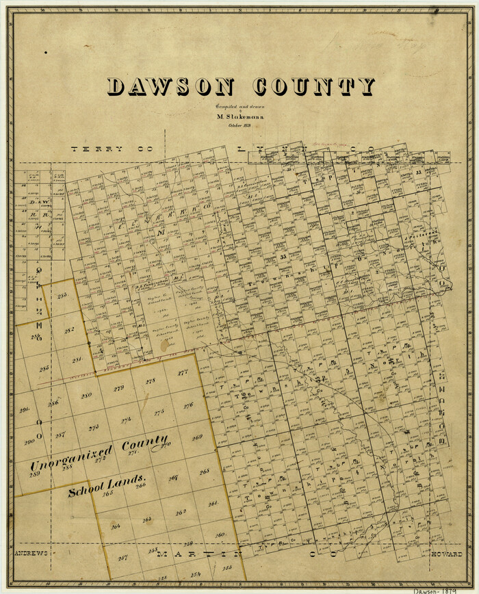
Dawson County

Print $20.00
- Digital $50.00
Dawson County
1879
-
Size
22.1 x 17.8 inches
-
Map/Doc
3468
-
Creation Date
1879
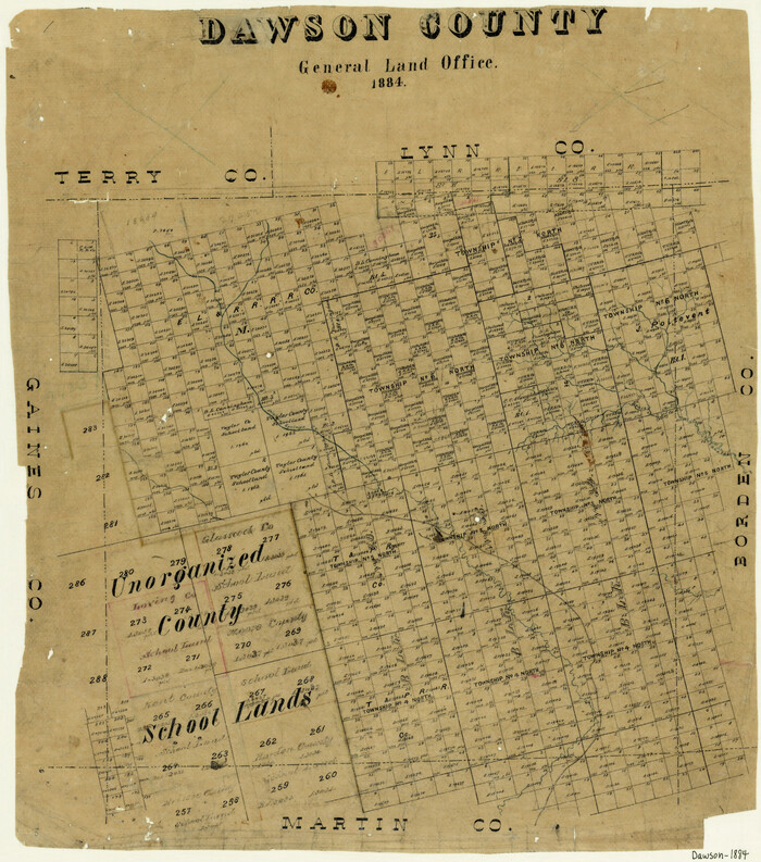
Dawson County

Print $20.00
- Digital $50.00
Dawson County
1884
-
Size
21.8 x 19.4 inches
-
Map/Doc
3469
-
Creation Date
1884
Dawson County


Print $20.00
- Digital $50.00
Dawson County
1932
-
Size
44.6 x 39.3 inches
-
Map/Doc
4719
-
Creation Date
1932
Dawson County
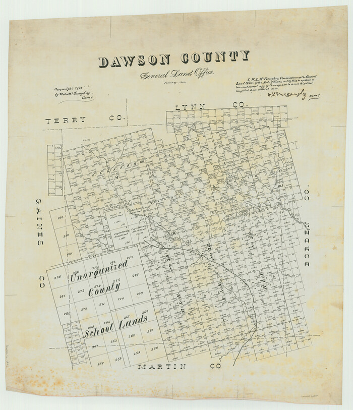

Print $20.00
- Digital $50.00
Dawson County
1892
-
Size
27.1 x 23.3 inches
-
Map/Doc
66797
-
Creation Date
1892
Dawson County
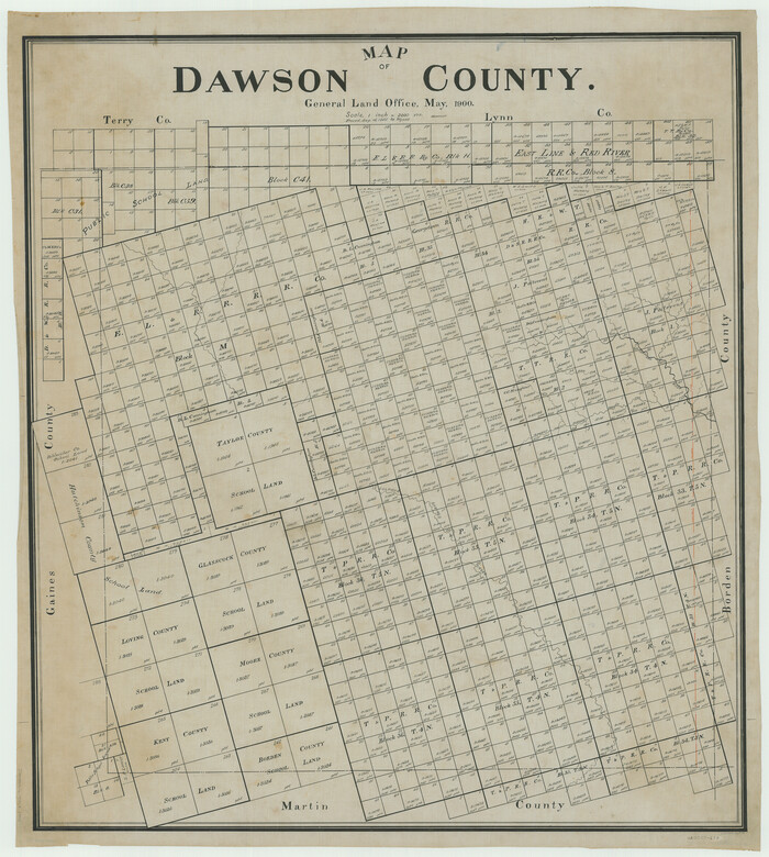

Print $20.00
- Digital $50.00
Dawson County
1900
-
Size
40.5 x 36.3 inches
-
Map/Doc
66798
-
Creation Date
1900
Dawson County
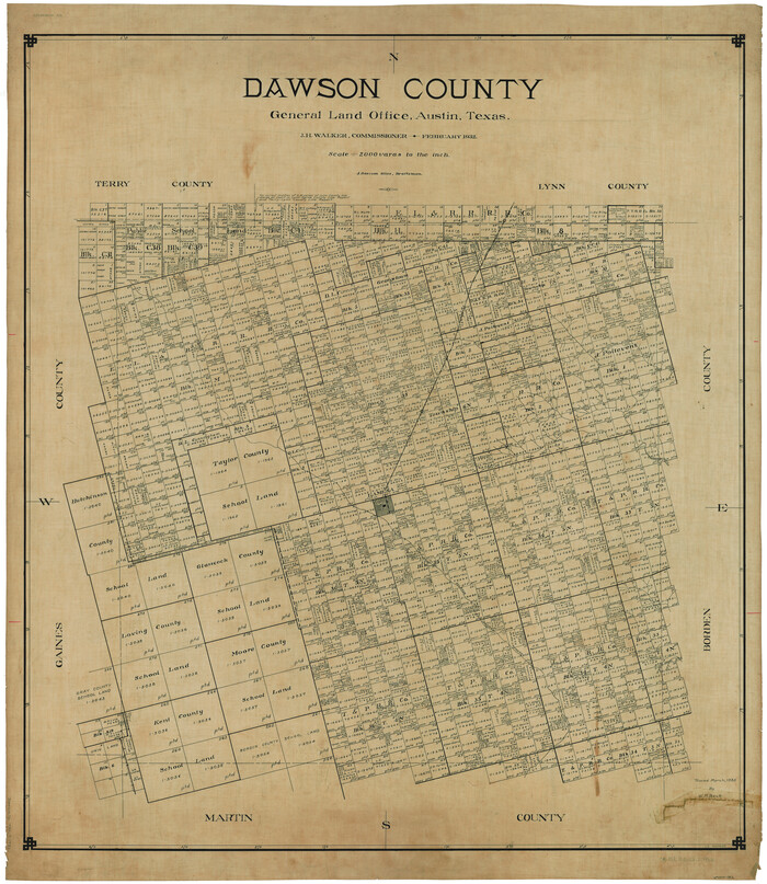

Print $20.00
- Digital $50.00
Dawson County
1932
-
Size
47.1 x 40.9 inches
-
Map/Doc
66799
-
Creation Date
1932
Dawson County
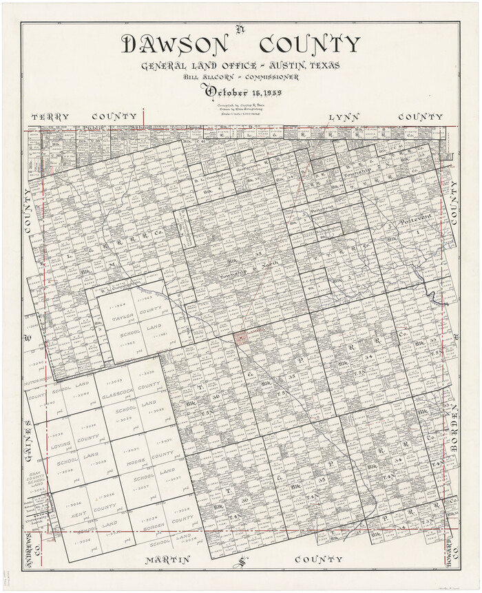

Print $20.00
- Digital $50.00
Dawson County
1959
-
Size
42.4 x 34.8 inches
-
Map/Doc
73127
-
Creation Date
1959
Dawson County
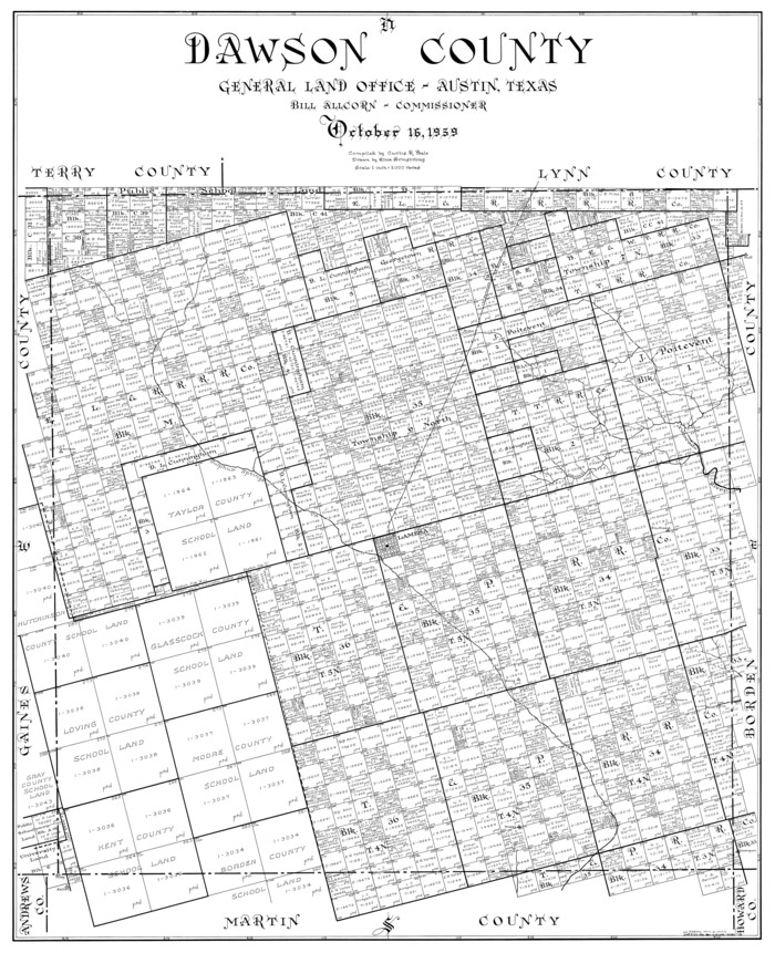

Print $20.00
- Digital $50.00
Dawson County
1959
-
Size
43.5 x 35.1 inches
-
Map/Doc
77259
-
Creation Date
1959
Dawson County


Print $20.00
Dawson County
1892
-
Size
24.4 x 19.5 inches
-
Map/Doc
88923
-
Creation Date
1892
Dawson County


Print $20.00
- Digital $50.00
Dawson County
1892
-
Size
19.7 x 24.7 inches
-
Map/Doc
90626
-
Creation Date
1892
Dawson County
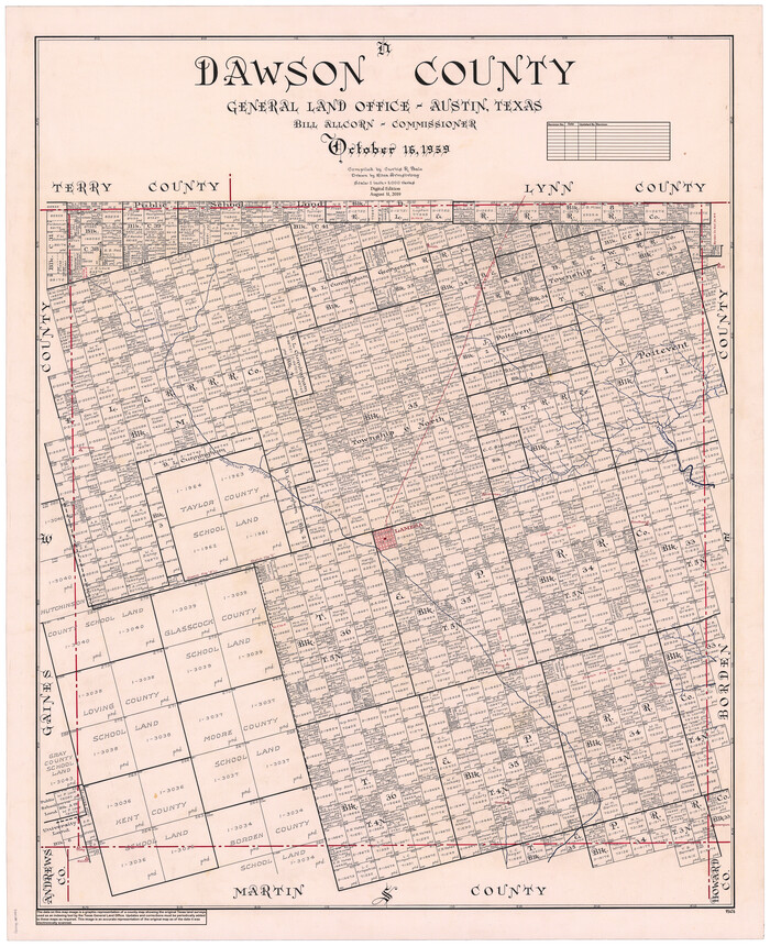

Print $20.00
- Digital $50.00
Dawson County
1959
-
Size
43.1 x 35.1 inches
-
Map/Doc
95476
-
Creation Date
1959
Dawson County Boundary File 1


Print $48.00
- Digital $50.00
Dawson County Boundary File 1
-
Size
8.8 x 4.0 inches
-
Map/Doc
52314
Dawson County Boundary File 2


Print $18.00
- Digital $50.00
Dawson County Boundary File 2
-
Size
14.2 x 8.8 inches
-
Map/Doc
52338
Dawson County Boundary File 3


Print $36.00
- Digital $50.00
Dawson County Boundary File 3
-
Size
14.1 x 8.6 inches
-
Map/Doc
52347
Dawson County Boundary File 3 (1)


Print $40.00
- Digital $50.00
Dawson County Boundary File 3 (1)
-
Size
11.1 x 35.8 inches
-
Map/Doc
52365
Dawson County Boundary File 3 (2)


Print $40.00
- Digital $50.00
Dawson County Boundary File 3 (2)
-
Size
13.2 x 33.5 inches
-
Map/Doc
52367
Dawson County Boundary File 3 (3)


Print $60.00
- Digital $50.00
Dawson County Boundary File 3 (3)
-
Size
11.0 x 35.8 inches
-
Map/Doc
52369
Dawson County Rolled Sketch 10


Print $20.00
- Digital $50.00
Dawson County Rolled Sketch 10
1954
-
Size
44.5 x 37.9 inches
-
Map/Doc
8774
-
Creation Date
1954
Dawson County Rolled Sketch 11


Print $20.00
- Digital $50.00
Dawson County Rolled Sketch 11
1961
-
Size
21.5 x 26.1 inches
-
Map/Doc
5694
-
Creation Date
1961