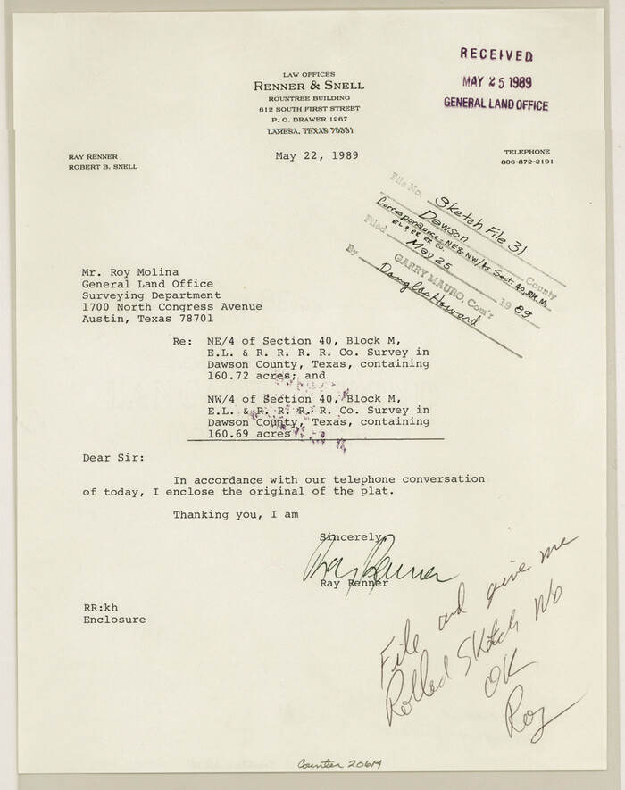
Dawson County Sketch File 31
1989
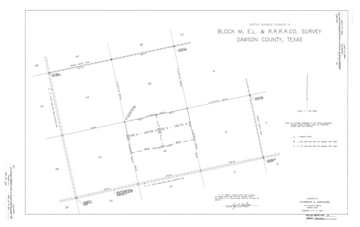
Dawson County Rolled Sketch 14
1989
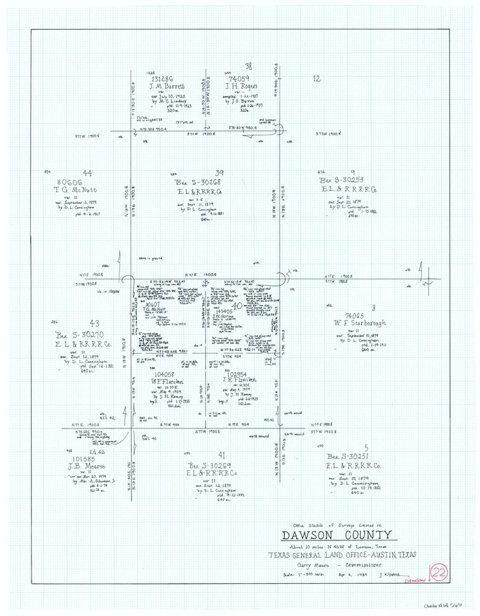
Dawson County Working Sketch 22
1989
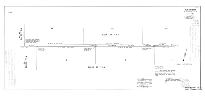
Dawson County Rolled Sketch 12
1965
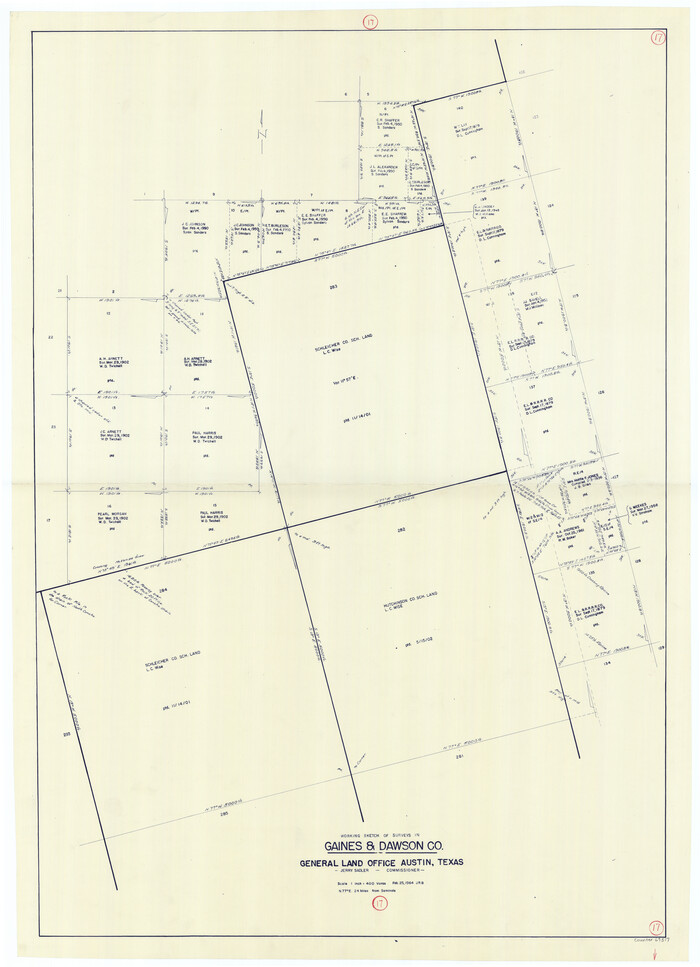
Gaines County Working Sketch 17
1964

Dawson County Working Sketch 21
1963
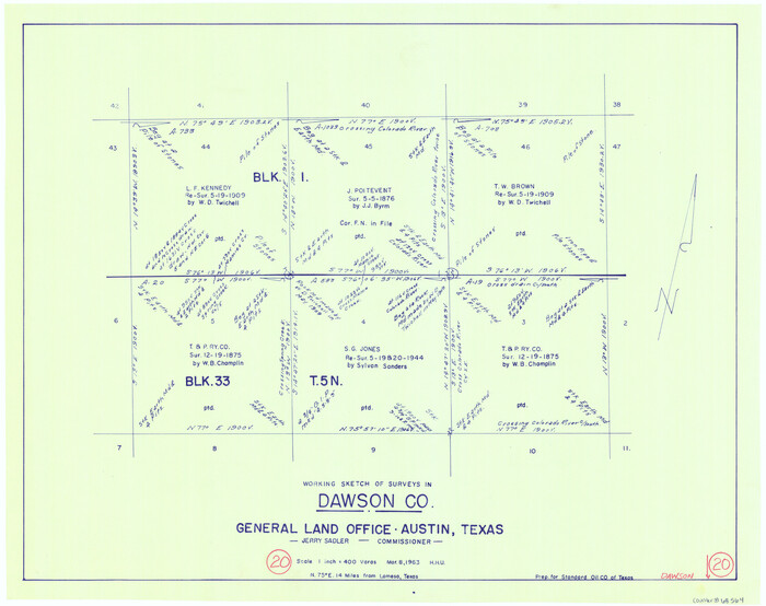
Dawson County Working Sketch 20
1963
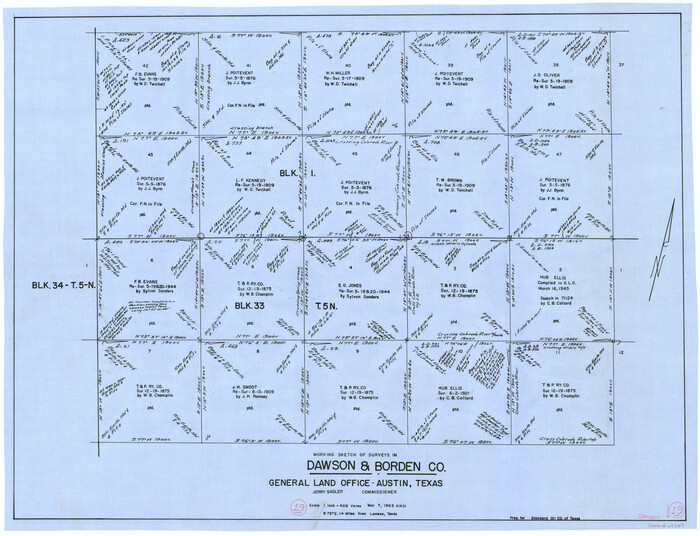
Dawson County Working Sketch 19
1963
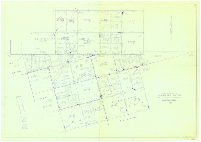
Dawson County Working Sketch 18
1963
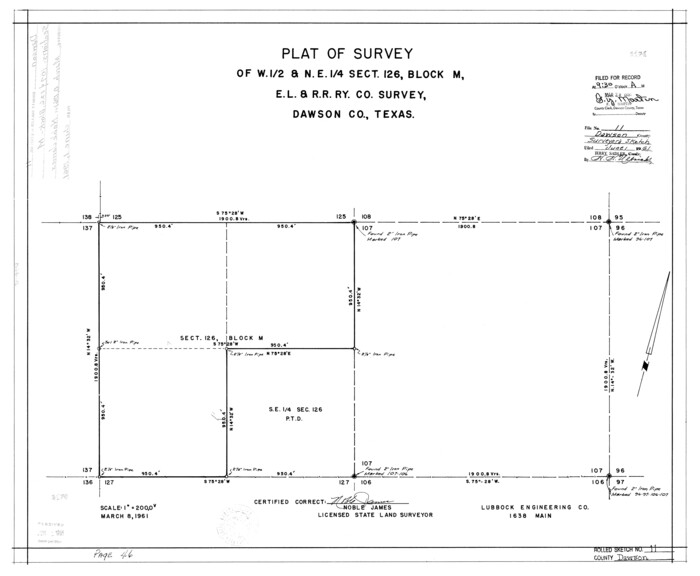
Dawson County Rolled Sketch 11
1961

Dawson County Sketch File 28
1961

Dawson County Working Sketch 17
1961

General Highway Map, Dawson County, Texas
1961
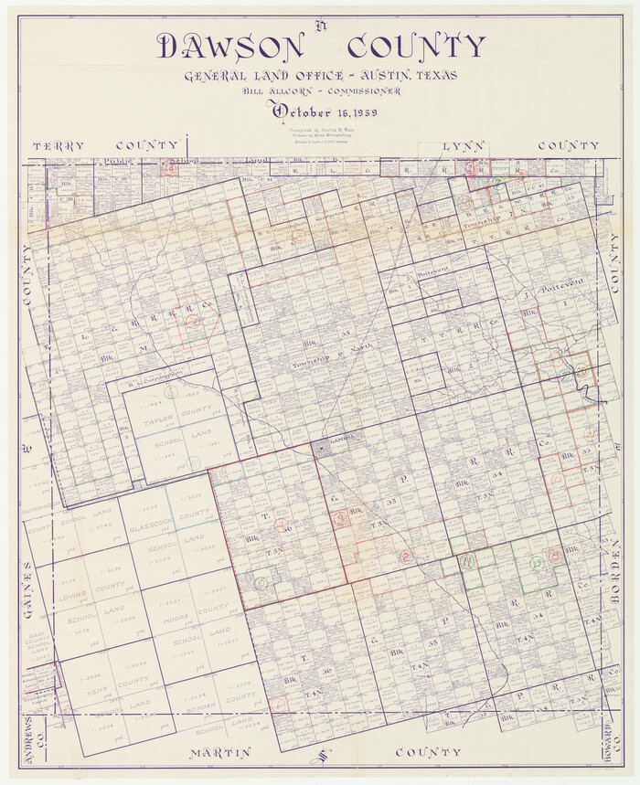
Dawson County Working Sketch Graphic Index
1959
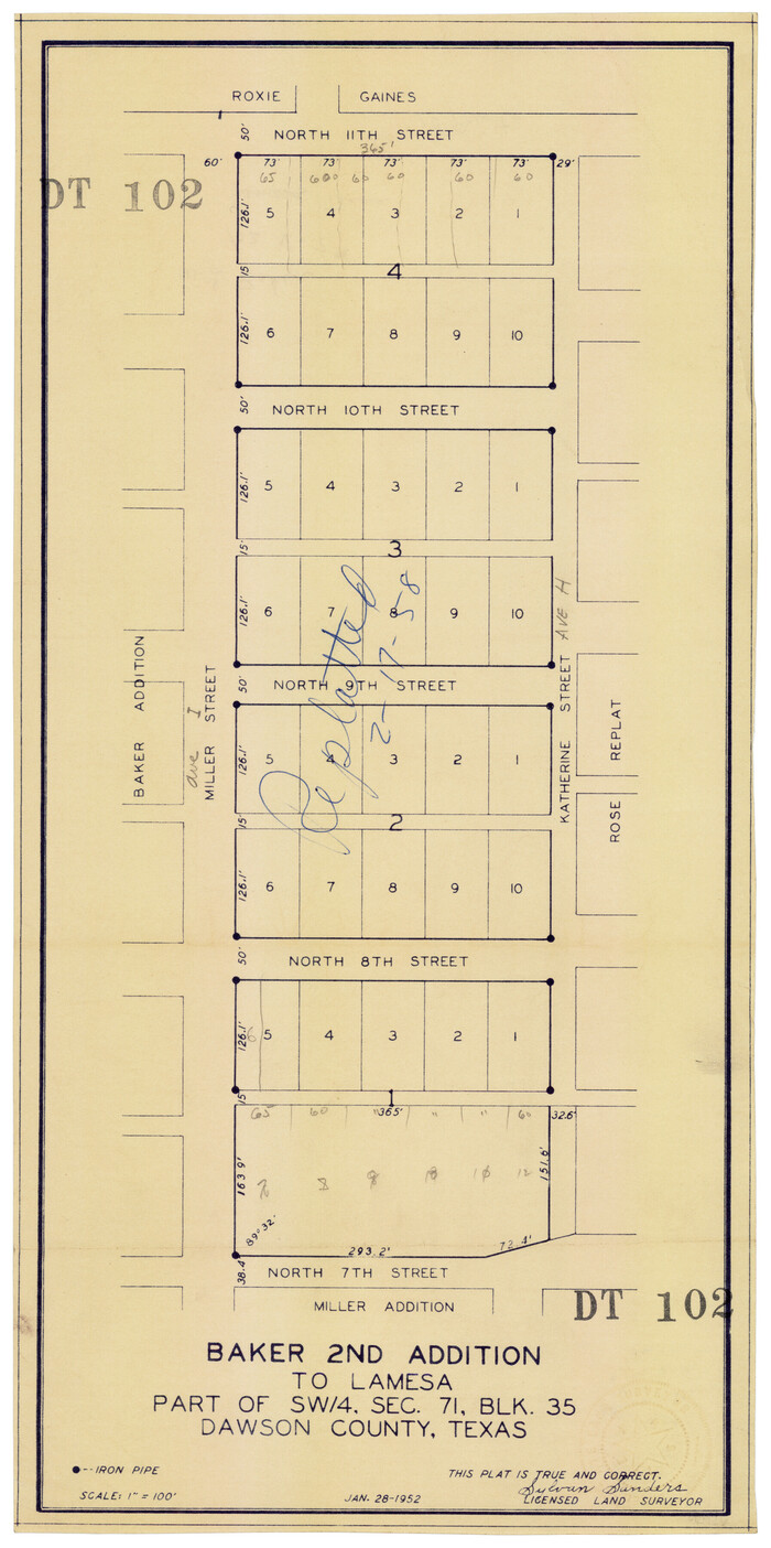
Replat of Baker 2nd Addition to Lamesa, Part of Southwest Quarter, Section 71, Block 35, Dawson County, Texas
1958

Replat of Baker 2nd Addition to Lamesa, Part of Southwest Quarter, Section 71, Block 35, Dawson County, Texas
1958
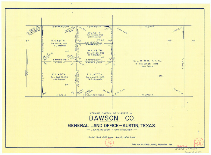
Dawson County Working Sketch 16
1956
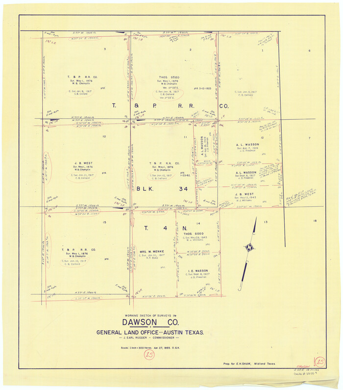
Dawson County Working Sketch 15
1955
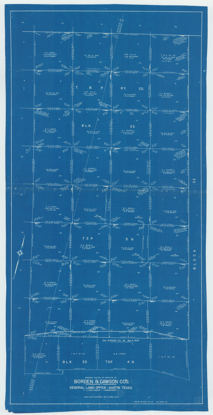
Borden County Working Sketch 11
1955
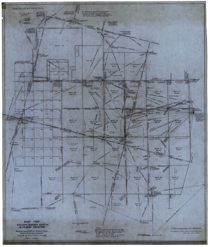
Dawson County Rolled Sketch 10
1954

Dawson County Sketch File 21
1953
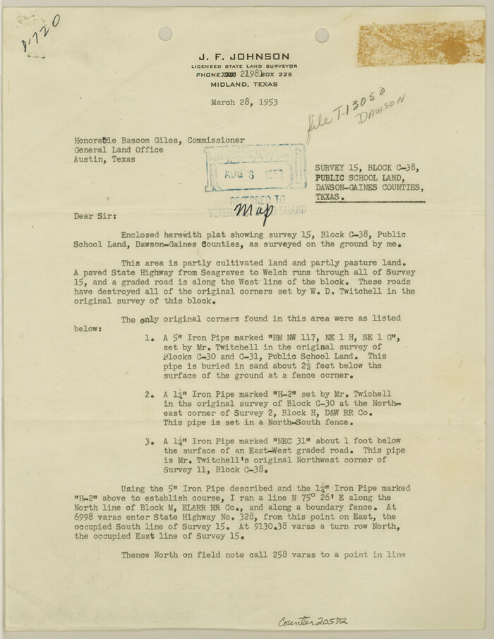
Dawson County Sketch File 22
1953

Dawson County Rolled Sketch 9
1953

M. C. Lindsey's Subdivision of Block 20 College Addition to Lamesa, Texas
1953

Dawson County Working Sketch 14
1952
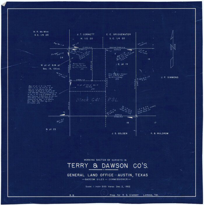
Terry County Working Sketch 2
1952
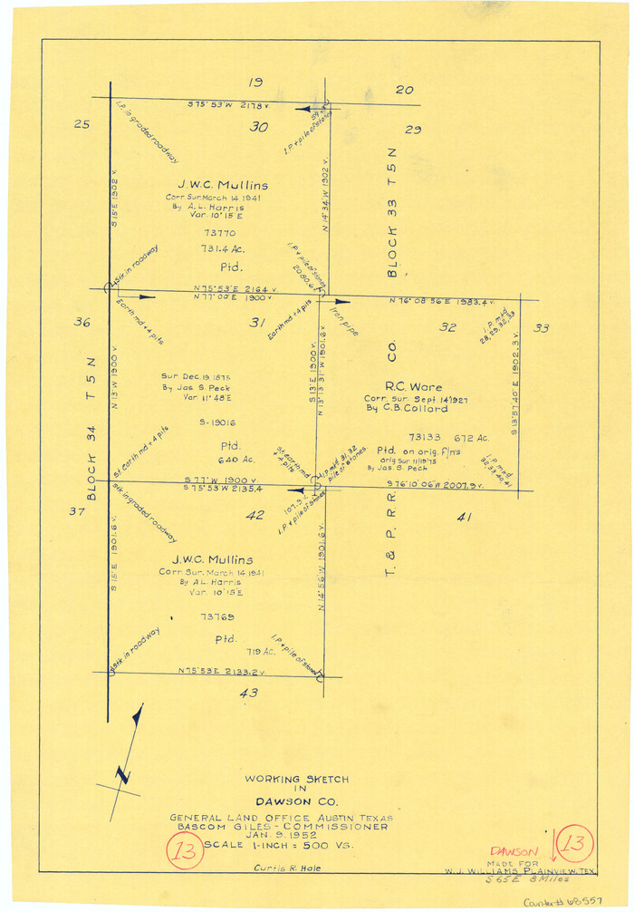
Dawson County Working Sketch 13
1952

Dawson County Sketch File 31
1989
-
Size
11.4 x 9.0 inches
-
Map/Doc
20614
-
Creation Date
1989

Dawson County Rolled Sketch 14
1989
-
Size
22.6 x 35.7 inches
-
Map/Doc
5697
-
Creation Date
1989

Dawson County Working Sketch 22
1989
-
Size
26.2 x 20.5 inches
-
Map/Doc
68566
-
Creation Date
1989

Dawson County Rolled Sketch 12
1965
-
Size
15.6 x 33.2 inches
-
Map/Doc
5695
-
Creation Date
1965

Gaines County Working Sketch 17
1964
-
Size
47.6 x 34.5 inches
-
Map/Doc
69317
-
Creation Date
1964

Dawson County Working Sketch 21
1963
-
Size
24.0 x 24.0 inches
-
Map/Doc
68565
-
Creation Date
1963

Dawson County Working Sketch 20
1963
-
Size
18.2 x 23.0 inches
-
Map/Doc
68564
-
Creation Date
1963

Dawson County Working Sketch 19
1963
-
Size
24.8 x 32.4 inches
-
Map/Doc
68563
-
Creation Date
1963

Dawson County Working Sketch 18
1963
-
Size
41.2 x 58.3 inches
-
Map/Doc
68562
-
Creation Date
1963

Dawson County Rolled Sketch 11
1961
-
Size
21.5 x 26.1 inches
-
Map/Doc
5694
-
Creation Date
1961

Dawson County Sketch File 28
1961
-
Size
46.0 x 15.3 inches
-
Map/Doc
10362
-
Creation Date
1961

Dawson County Working Sketch 17
1961
-
Size
33.3 x 29.9 inches
-
Map/Doc
68561
-
Creation Date
1961

General Highway Map, Dawson County, Texas
1961
-
Size
18.0 x 24.5 inches
-
Map/Doc
79436
-
Creation Date
1961
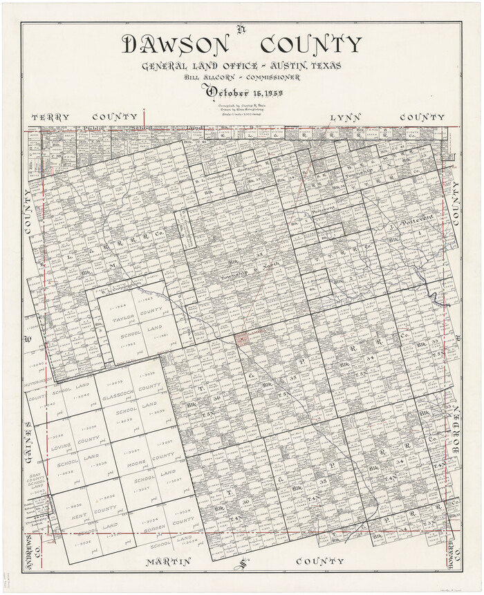
Dawson County
1959
-
Size
42.4 x 34.8 inches
-
Map/Doc
73127
-
Creation Date
1959

Dawson County Working Sketch Graphic Index
1959
-
Size
40.7 x 33.4 inches
-
Map/Doc
76518
-
Creation Date
1959
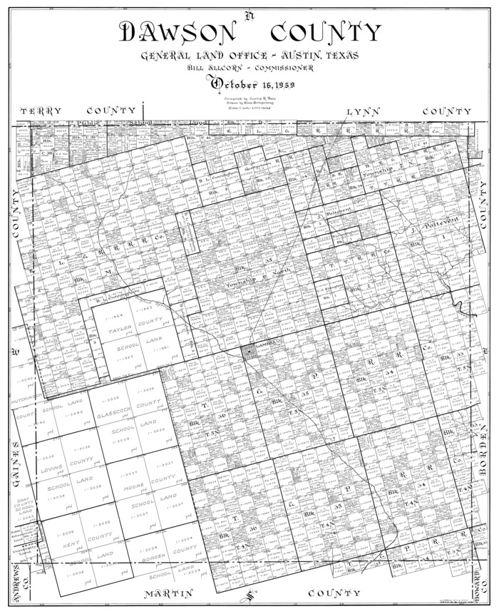
Dawson County
1959
-
Size
43.5 x 35.1 inches
-
Map/Doc
77259
-
Creation Date
1959
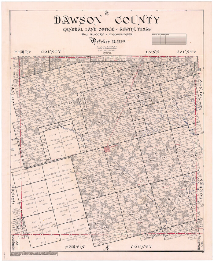
Dawson County
1959
-
Size
43.1 x 35.1 inches
-
Map/Doc
95476
-
Creation Date
1959

Replat of Baker 2nd Addition to Lamesa, Part of Southwest Quarter, Section 71, Block 35, Dawson County, Texas
1958
-
Size
9.2 x 18.0 inches
-
Map/Doc
92630
-
Creation Date
1958

Replat of Baker 2nd Addition to Lamesa, Part of Southwest Quarter, Section 71, Block 35, Dawson County, Texas
1958
-
Size
9.9 x 18.8 inches
-
Map/Doc
92633
-
Creation Date
1958

Dawson County Working Sketch 16
1956
-
Size
13.9 x 18.8 inches
-
Map/Doc
68560
-
Creation Date
1956

Dawson County Working Sketch 15
1955
-
Size
28.2 x 24.8 inches
-
Map/Doc
68559
-
Creation Date
1955

Borden County Working Sketch 11
1955
-
Size
51.6 x 26.5 inches
-
Map/Doc
67471
-
Creation Date
1955

Dawson County Rolled Sketch 10
1954
-
Size
44.5 x 37.9 inches
-
Map/Doc
8774
-
Creation Date
1954

Dawson County Sketch File 21
1953
-
Size
12.2 x 24.5 inches
-
Map/Doc
11297
-
Creation Date
1953

Dawson County Sketch File 22
1953
-
Size
11.2 x 8.7 inches
-
Map/Doc
20572
-
Creation Date
1953

Dawson County Rolled Sketch 9
1953
-
Size
36.6 x 45.7 inches
-
Map/Doc
8773
-
Creation Date
1953

M. C. Lindsey's Subdivision of Block 20 College Addition to Lamesa, Texas
1953
-
Size
9.6 x 18.2 inches
-
Map/Doc
92589
-
Creation Date
1953

Dawson County Working Sketch 14
1952
-
Size
15.5 x 12.8 inches
-
Map/Doc
68558
-
Creation Date
1952

Terry County Working Sketch 2
1952
-
Size
19.3 x 19.3 inches
-
Map/Doc
62107
-
Creation Date
1952

Dawson County Working Sketch 13
1952
-
Size
18.1 x 12.6 inches
-
Map/Doc
68557
-
Creation Date
1952