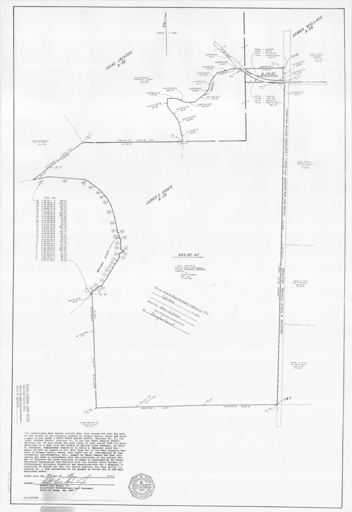
Grimes County State Real Property Sketch 1
2001
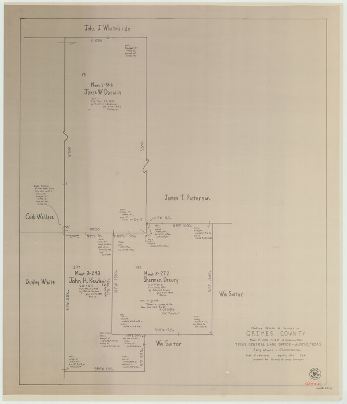
Grimes County Working Sketch 17
1996
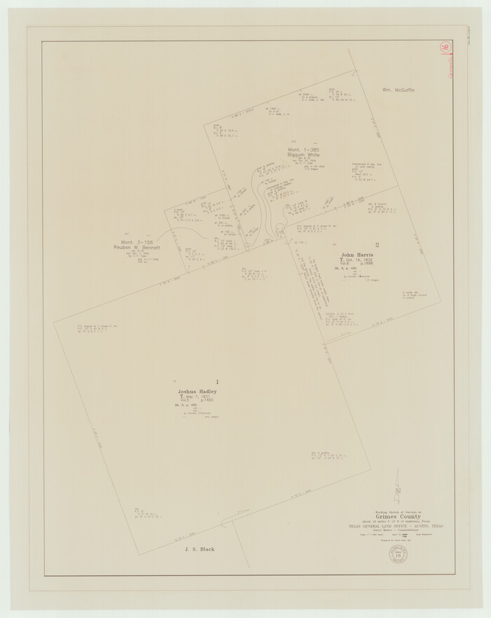
Grimes County Working Sketch 16
1995

Grimes County Working Sketch 18
1990

Grimes County Working Sketch 15
1988

Grimes County Working Sketch 14
1983

Grimes County Working Sketch 13
1982
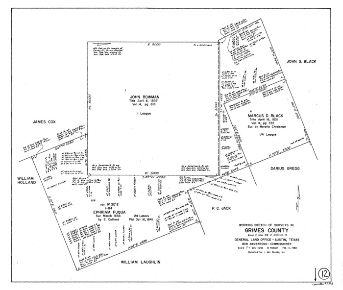
Grimes County Working Sketch 12
1982
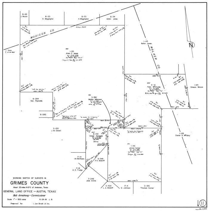
Grimes County Working Sketch 11
1981
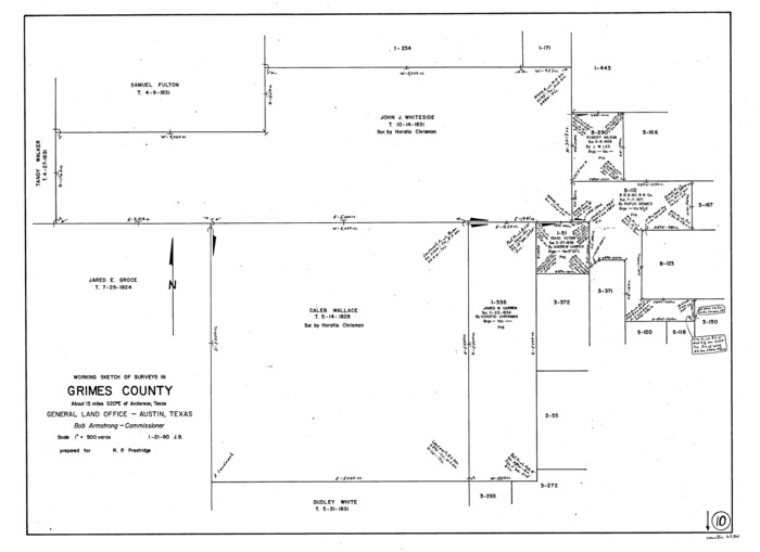
Grimes County Working Sketch 10
1980
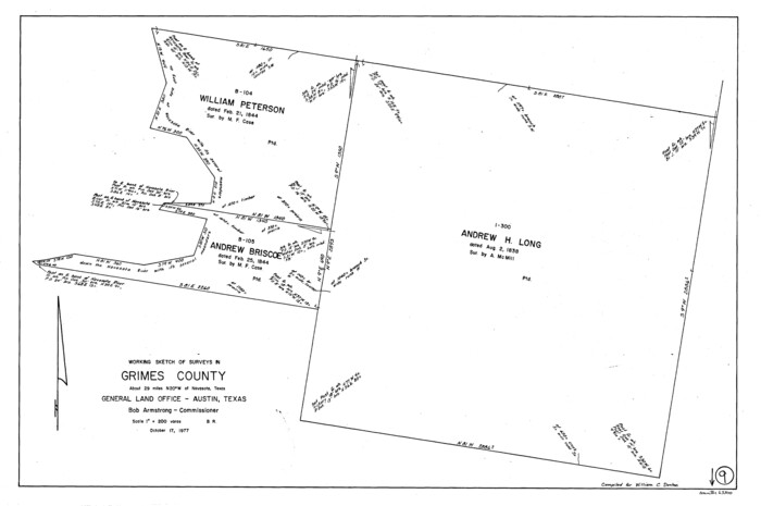
Grimes County Working Sketch 9
1977
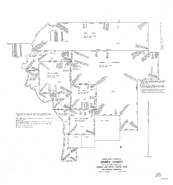
Grimes County Working Sketch 8
1976

Madison County Working Sketch 12
1965

Madison County Working Sketch 11
1964
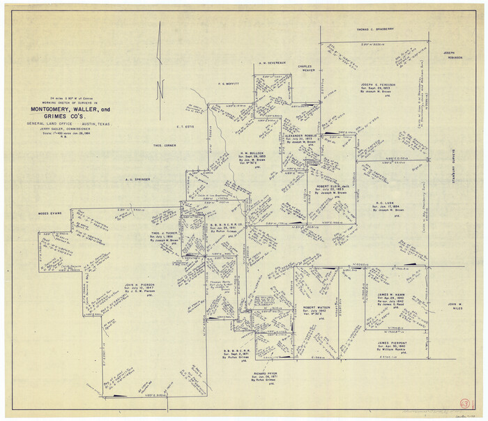
Montgomery County Working Sketch 63
1964

Grimes County Working Sketch 7
1963

General Highway Map, Grimes County, Texas
1961
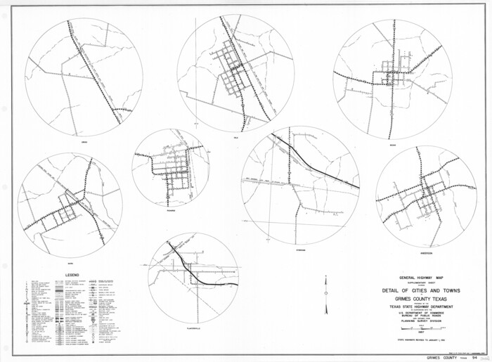
General Highway Map. Detail of Cities and Towns in Grimes County, Texas
1961

Grimes County Working Sketch 6
1951

Grimes County Working Sketch 5
1949
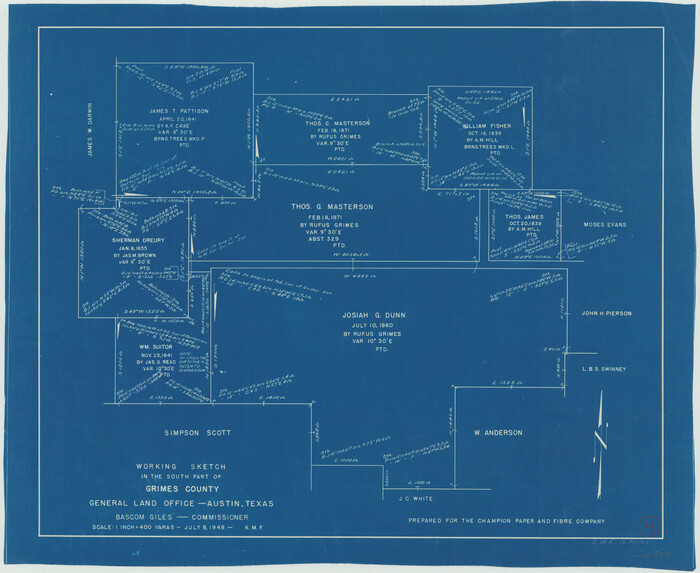
Grimes County Working Sketch 4
1948

Grimes County Working Sketch 3
1946

Grimes County Rolled Sketch 1
1945

Grimes County Working Sketch 2
1941

Central & Montgomery
1941
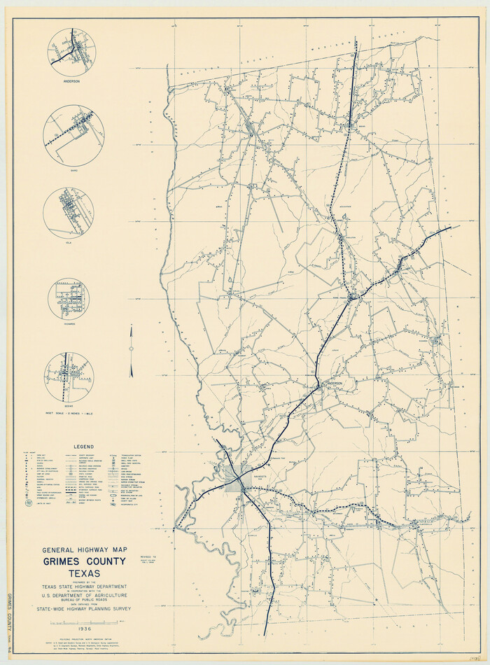
General Highway Map, Grimes County, Texas
1940
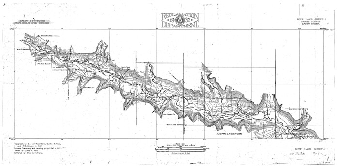
San Jacinto River, Buff Lake Sheet 1/Caney Creek
1937

San Jacinto River, Buff Lake Sheet 2/Caney Creek
1937
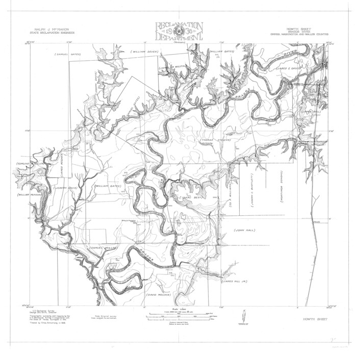
Brazos River, Howth Sheet
1936
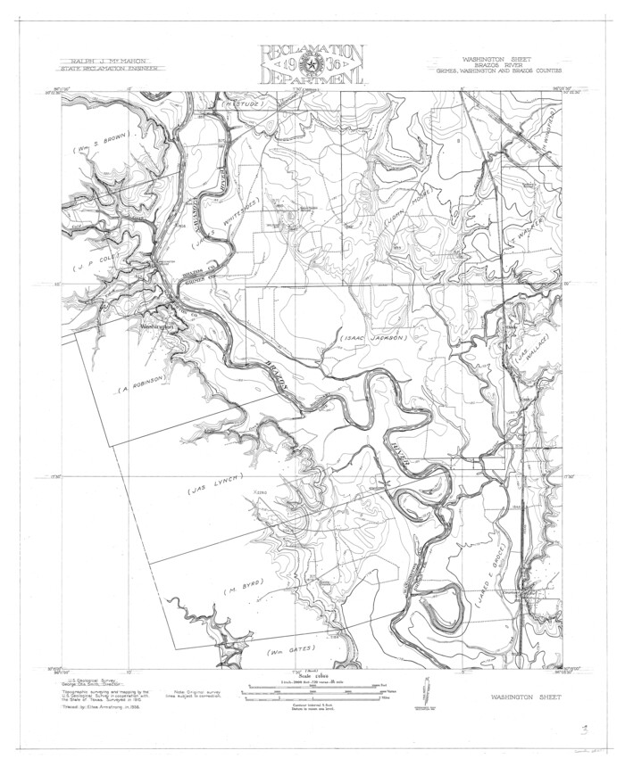
Brazos River, Washington Sheet
1936

Grimes County State Real Property Sketch 1
2001
-
Size
36.0 x 24.8 inches
-
Map/Doc
80133
-
Creation Date
2001

Grimes County Working Sketch 17
1996
-
Size
31.1 x 26.6 inches
-
Map/Doc
63308
-
Creation Date
1996

Grimes County Working Sketch 16
1995
-
Size
41.6 x 33.1 inches
-
Map/Doc
63307
-
Creation Date
1995

Grimes County Working Sketch 18
1990
-
Size
33.1 x 42.5 inches
-
Map/Doc
63309
-
Creation Date
1990

Grimes County Working Sketch 15
1988
-
Size
42.4 x 42.4 inches
-
Map/Doc
63306
-
Creation Date
1988

Grimes County Working Sketch 14
1983
-
Size
33.0 x 34.1 inches
-
Map/Doc
63305
-
Creation Date
1983

Grimes County Working Sketch 13
1982
-
Size
39.4 x 47.7 inches
-
Map/Doc
63304
-
Creation Date
1982

Grimes County Working Sketch 12
1982
-
Size
18.3 x 21.6 inches
-
Map/Doc
63303
-
Creation Date
1982

Grimes County Working Sketch 11
1981
-
Size
22.7 x 22.6 inches
-
Map/Doc
63302
-
Creation Date
1981

Grimes County Working Sketch 10
1980
-
Size
21.5 x 29.6 inches
-
Map/Doc
63301
-
Creation Date
1980

Grimes County Working Sketch 9
1977
-
Size
20.1 x 30.3 inches
-
Map/Doc
63300
-
Creation Date
1977

Grimes County Working Sketch 8
1976
-
Size
35.0 x 32.7 inches
-
Map/Doc
63299
-
Creation Date
1976

Madison County Working Sketch 12
1965
-
Size
41.7 x 48.5 inches
-
Map/Doc
70774
-
Creation Date
1965

Madison County Working Sketch 11
1964
-
Size
39.6 x 33.4 inches
-
Map/Doc
70773
-
Creation Date
1964

Montgomery County Working Sketch 63
1964
-
Size
31.6 x 36.7 inches
-
Map/Doc
71170
-
Creation Date
1964

Grimes County Working Sketch 7
1963
-
Size
27.2 x 33.0 inches
-
Map/Doc
63298
-
Creation Date
1963

General Highway Map, Grimes County, Texas
1961
-
Size
24.8 x 18.1 inches
-
Map/Doc
79490
-
Creation Date
1961

General Highway Map. Detail of Cities and Towns in Grimes County, Texas
1961
-
Size
18.2 x 24.8 inches
-
Map/Doc
79491
-
Creation Date
1961

Grimes County Working Sketch 6
1951
-
Size
33.2 x 33.4 inches
-
Map/Doc
63297
-
Creation Date
1951

Grimes County Working Sketch 5
1949
-
Size
43.6 x 83.2 inches
-
Map/Doc
63296
-
Creation Date
1949

Grimes County Working Sketch 4
1948
-
Size
20.0 x 24.5 inches
-
Map/Doc
63295
-
Creation Date
1948

Grimes County Working Sketch 3
1946
-
Size
34.1 x 29.1 inches
-
Map/Doc
63294
-
Creation Date
1946

Grimes County Rolled Sketch 1
1945
-
Size
34.6 x 35.0 inches
-
Map/Doc
9007
-
Creation Date
1945

Grimes County Working Sketch 2
1941
-
Size
13.2 x 20.9 inches
-
Map/Doc
63293
-
Creation Date
1941

Central & Montgomery
1941
-
Size
25.6 x 122.2 inches
-
Map/Doc
64522
-
Creation Date
1941

General Highway Map, Grimes County, Texas
1940
-
Size
25.0 x 18.4 inches
-
Map/Doc
79106
-
Creation Date
1940

San Jacinto River, Buff Lake Sheet 1/Caney Creek
1937
-
Size
18.7 x 37.6 inches
-
Map/Doc
65147
-
Creation Date
1937

San Jacinto River, Buff Lake Sheet 2/Caney Creek
1937
-
Size
24.1 x 24.7 inches
-
Map/Doc
65148
-
Creation Date
1937

Brazos River, Howth Sheet
1936
-
Size
30.5 x 30.9 inches
-
Map/Doc
65276
-
Creation Date
1936

Brazos River, Washington Sheet
1936
-
Size
30.4 x 24.7 inches
-
Map/Doc
65277
-
Creation Date
1936