Waller County Sketch File 1a

Print $20.00
- Digital $50.00
Waller County Sketch File 1a
Size: 25.4 x 16.6 inches
12598
Montgomery County Sketch File 37

Print $6.00
- Digital $50.00
Montgomery County Sketch File 37
Size: 12.6 x 8.2 inches
31916
Waller County Sketch File 9

Print $4.00
- Digital $50.00
Waller County Sketch File 9
Size: 9.1 x 7.8 inches
39610
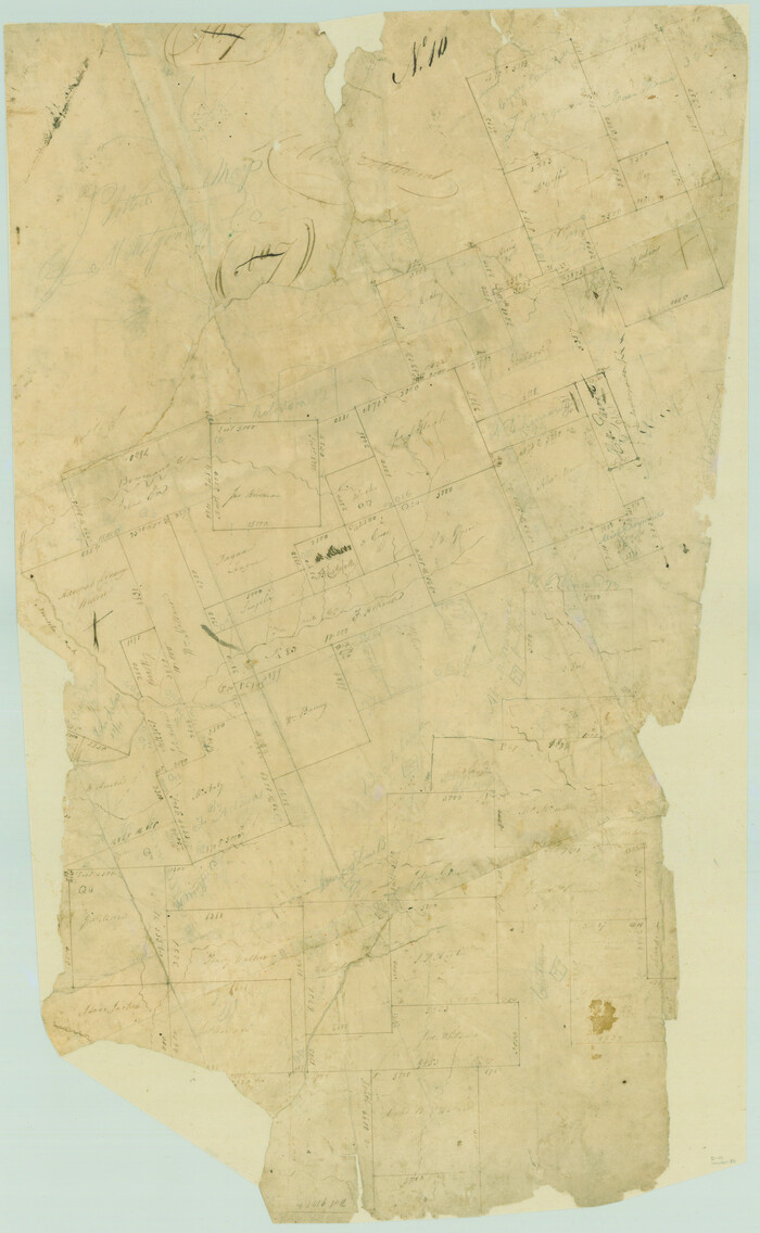
Grimes County Rolled Sketch 2

Print $20.00
- Digital $50.00
Grimes County Rolled Sketch 2
Size: 29.2 x 24.3 inches
6043
San Jacinto River, Water Sheds of the San Jacinto River and Buffalo Bayou

Print $4.00
- Digital $50.00
San Jacinto River, Water Sheds of the San Jacinto River and Buffalo Bayou
Size: 28.8 x 20.0 inches
65149

[Surveys in Austin's Colony along the Navasota River and Ten Mile Creek]
Print $20.00
- Digital $50.00
[Surveys in Austin's Colony along the Navasota River and Ten Mile Creek]
1821
Size: 29.2 x 18.0 inches
80
English Field Notes of the Spanish Archives - Book 1

English Field Notes of the Spanish Archives - Book 1
1833
96527
English Field Notes of the Spanish Archives - Book 2

English Field Notes of the Spanish Archives - Book 2
1835
96528
English Field Notes of the Spanish Archives - Book 5

English Field Notes of the Spanish Archives - Book 5
1835
96531
English Field Notes of the Spanish Archives - Book 7

English Field Notes of the Spanish Archives - Book 7
1835
96533
English Field Notes of the Spanish Archives - Book 9

English Field Notes of the Spanish Archives - Book 9
1835
96535
English Field Notes of the Spanish Archives - Book 10

English Field Notes of the Spanish Archives - Book 10
1835
96536
English Field Notes of the Spanish Archives - Book 4 & W

English Field Notes of the Spanish Archives - Book 4 & W
1836
96530
English Field Notes of the Spanish Archives - Book 6

English Field Notes of the Spanish Archives - Book 6
1836
96532
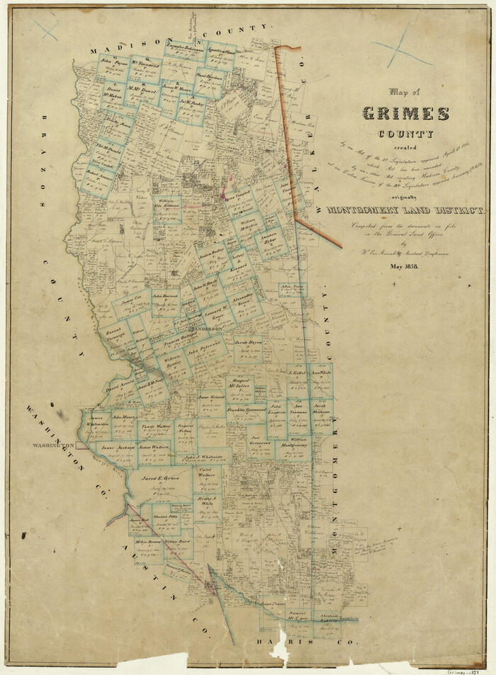
Map of Grimes County
Print $20.00
- Digital $50.00
Map of Grimes County
1858
Size: 29.1 x 21.4 inches
3605
Grimes County Sketch File 3

Print $20.00
- Digital $50.00
Grimes County Sketch File 3
1871
Size: 10.6 x 12.1 inches
24626
Grimes County Sketch File 4

Print $4.00
- Digital $50.00
Grimes County Sketch File 4
1872
Size: 12.7 x 8.0 inches
24635
Grimes County Sketch File 4a

Print $6.00
- Digital $50.00
Grimes County Sketch File 4a
1873
Size: 13.0 x 8.4 inches
24656
Grimes County Sketch File 4b

Print $10.00
- Digital $50.00
Grimes County Sketch File 4b
1873
Size: 10.2 x 8.4 inches
24637
Map of Grimes County, Texas

Print $20.00
- Digital $50.00
Map of Grimes County, Texas
1880
Size: 29.5 x 15.6 inches
432
Map of the Central and Montgomery Railroad

Print $20.00
- Digital $50.00
Map of the Central and Montgomery Railroad
1881
Size: 12.6 x 36.8 inches
64141
Grimes County Sketch File 5

Print $4.00
- Digital $50.00
Grimes County Sketch File 5
1881
Size: 9.2 x 8.3 inches
24642
Map of Grimes County

Print $20.00
- Digital $50.00
Map of Grimes County
1881
Size: 29.9 x 16.3 inches
3606
Map of Grimes Co.

Print $20.00
- Digital $50.00
Map of Grimes Co.
1881
Size: 32.6 x 17.5 inches
66843
Grimes County Working Sketch 1

Print $20.00
- Digital $50.00
Grimes County Working Sketch 1
1920
Size: 33.1 x 30.7 inches
63292
Brazos River, Widths of Floodways/Brazos and Navasota Rivers

Print $20.00
- Digital $50.00
Brazos River, Widths of Floodways/Brazos and Navasota Rivers
1921
Size: 38.1 x 24.5 inches
65292
Waller County Sketch File 1a
Print $20.00
- Digital $50.00
Waller County Sketch File 1a
-
Size
25.4 x 16.6 inches
-
Map/Doc
12598
Montgomery County Sketch File 37
Print $6.00
- Digital $50.00
Montgomery County Sketch File 37
-
Size
12.6 x 8.2 inches
-
Map/Doc
31916
Waller County Sketch File 9
Print $4.00
- Digital $50.00
Waller County Sketch File 9
-
Size
9.1 x 7.8 inches
-
Map/Doc
39610
Grimes County Rolled Sketch 2
Print $20.00
- Digital $50.00
Grimes County Rolled Sketch 2
-
Size
29.2 x 24.3 inches
-
Map/Doc
6043
San Jacinto River, Water Sheds of the San Jacinto River and Buffalo Bayou
Print $4.00
- Digital $50.00
San Jacinto River, Water Sheds of the San Jacinto River and Buffalo Bayou
-
Size
28.8 x 20.0 inches
-
Map/Doc
65149
Navasota and Grimes County, Texas

Navasota and Grimes County, Texas
-
Size
25.8 x 28.5 inches
-
Map/Doc
96865
[Surveys in Austin's Colony along the Navasota River and Ten Mile Creek]
Print $20.00
- Digital $50.00
[Surveys in Austin's Colony along the Navasota River and Ten Mile Creek]
1821
-
Size
29.2 x 18.0 inches
-
Map/Doc
80
-
Creation Date
1821
English Field Notes of the Spanish Archives - Book 1
English Field Notes of the Spanish Archives - Book 1
1833
-
Map/Doc
96527
-
Creation Date
1833
English Field Notes of the Spanish Archives - Book 2
English Field Notes of the Spanish Archives - Book 2
1835
-
Map/Doc
96528
-
Creation Date
1835
English Field Notes of the Spanish Archives - Book 5
English Field Notes of the Spanish Archives - Book 5
1835
-
Map/Doc
96531
-
Creation Date
1835
English Field Notes of the Spanish Archives - Book 7
English Field Notes of the Spanish Archives - Book 7
1835
-
Map/Doc
96533
-
Creation Date
1835
English Field Notes of the Spanish Archives - Book 9
English Field Notes of the Spanish Archives - Book 9
1835
-
Map/Doc
96535
-
Creation Date
1835
English Field Notes of the Spanish Archives - Book 10
English Field Notes of the Spanish Archives - Book 10
1835
-
Map/Doc
96536
-
Creation Date
1835
English Field Notes of the Spanish Archives - Book 4 & W
English Field Notes of the Spanish Archives - Book 4 & W
1836
-
Map/Doc
96530
-
Creation Date
1836
English Field Notes of the Spanish Archives - Book 6
English Field Notes of the Spanish Archives - Book 6
1836
-
Map/Doc
96532
-
Creation Date
1836
Map of Grimes County
Print $20.00
- Digital $50.00
Map of Grimes County
1858
-
Size
29.1 x 21.4 inches
-
Map/Doc
3605
-
Creation Date
1858
Grimes County Sketch File 3
Print $20.00
- Digital $50.00
Grimes County Sketch File 3
1871
-
Size
10.6 x 12.1 inches
-
Map/Doc
24626
-
Creation Date
1871
Grimes County

Print $20.00
- Digital $50.00
Grimes County
1872
-
Size
29.2 x 16.1 inches
-
Map/Doc
4693
-
Creation Date
1872
Grimes County Sketch File 4
Print $4.00
- Digital $50.00
Grimes County Sketch File 4
1872
-
Size
12.7 x 8.0 inches
-
Map/Doc
24635
-
Creation Date
1872
Grimes County Sketch File 4a
Print $6.00
- Digital $50.00
Grimes County Sketch File 4a
1873
-
Size
13.0 x 8.4 inches
-
Map/Doc
24656
-
Creation Date
1873
Grimes County Sketch File 4b
Print $10.00
- Digital $50.00
Grimes County Sketch File 4b
1873
-
Size
10.2 x 8.4 inches
-
Map/Doc
24637
-
Creation Date
1873
Map of Grimes County, Texas
Print $20.00
- Digital $50.00
Map of Grimes County, Texas
1880
-
Size
29.5 x 15.6 inches
-
Map/Doc
432
-
Creation Date
1880
Map of the Central and Montgomery Railroad
Print $20.00
- Digital $50.00
Map of the Central and Montgomery Railroad
1881
-
Size
12.6 x 36.8 inches
-
Map/Doc
64141
-
Creation Date
1881
Grimes County Sketch File 5
Print $4.00
- Digital $50.00
Grimes County Sketch File 5
1881
-
Size
9.2 x 8.3 inches
-
Map/Doc
24642
-
Creation Date
1881
Map of Grimes County
Print $20.00
- Digital $50.00
Map of Grimes County
1881
-
Size
29.9 x 16.3 inches
-
Map/Doc
3606
-
Creation Date
1881
Map of Grimes Co.
Print $20.00
- Digital $50.00
Map of Grimes Co.
1881
-
Size
32.6 x 17.5 inches
-
Map/Doc
66843
-
Creation Date
1881
Grimes County Working Sketch 1
Print $20.00
- Digital $50.00
Grimes County Working Sketch 1
1920
-
Size
33.1 x 30.7 inches
-
Map/Doc
63292
-
Creation Date
1920
Brazos River, Widths of Floodways/Brazos and Navasota Rivers
Print $20.00
- Digital $50.00
Brazos River, Widths of Floodways/Brazos and Navasota Rivers
1921
-
Size
38.1 x 24.5 inches
-
Map/Doc
65292
-
Creation Date
1921
Grimes County

Print $40.00
- Digital $50.00
Grimes County
1922
-
Size
55.7 x 28.2 inches
-
Map/Doc
77296
-
Creation Date
1922