
The Republic County of Harrison. Created, January 28, 1839
2020
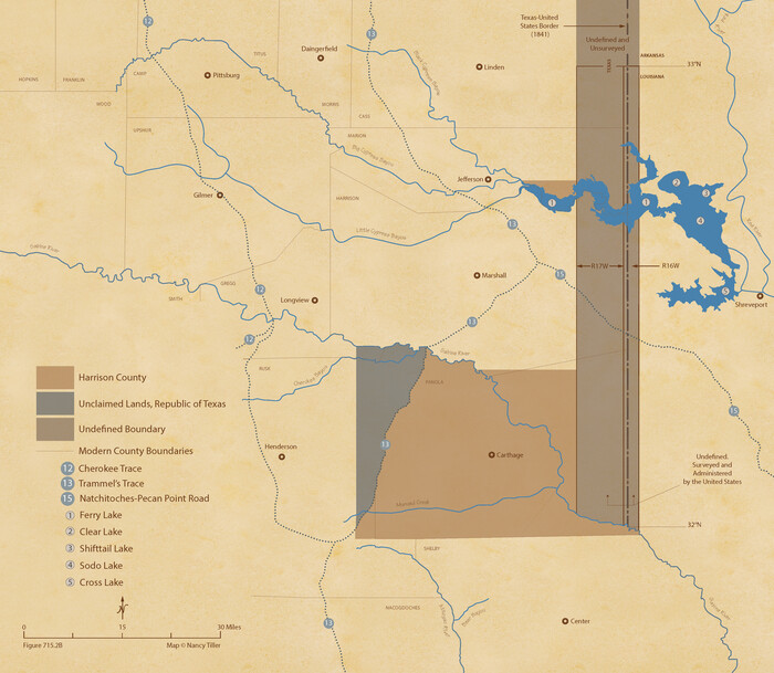
The Republic County of Harrison. January 30, 1841
2020

The Republic County of Harrison. June 24, 1841
2020
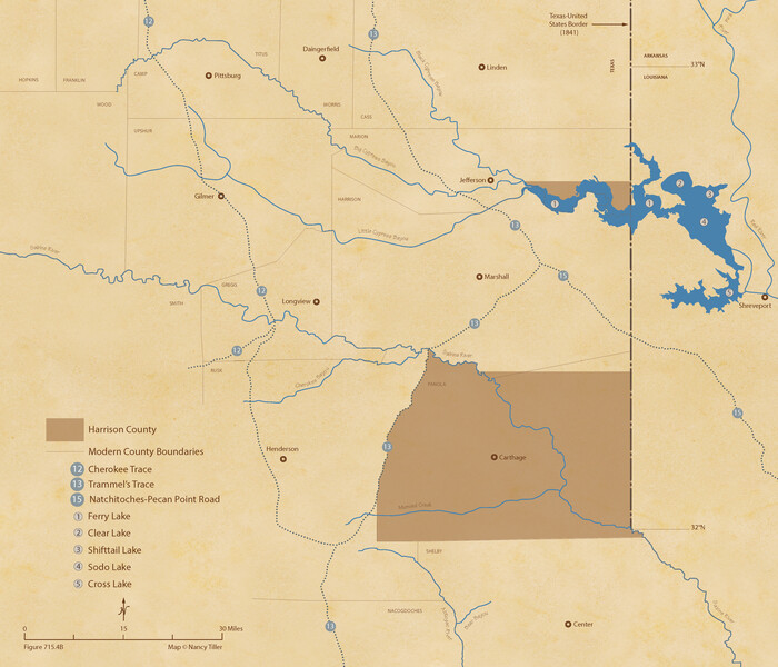
The Republic County of Harrison. February 1, 1842
2020

The Republic County of Harrison. Spring 1842
2020

The Republic County of Harrison. January 16, 1843
2020

The Republic County of Harrison. January 8, 1844
2020

The Republic County of Harrison. December 31, 1844
2020

The Republic County of Harrison. December 29, 1845
2020
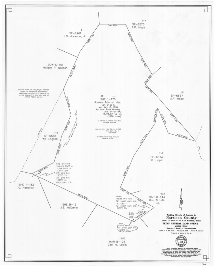
Harrison County Working Sketch 32
2015
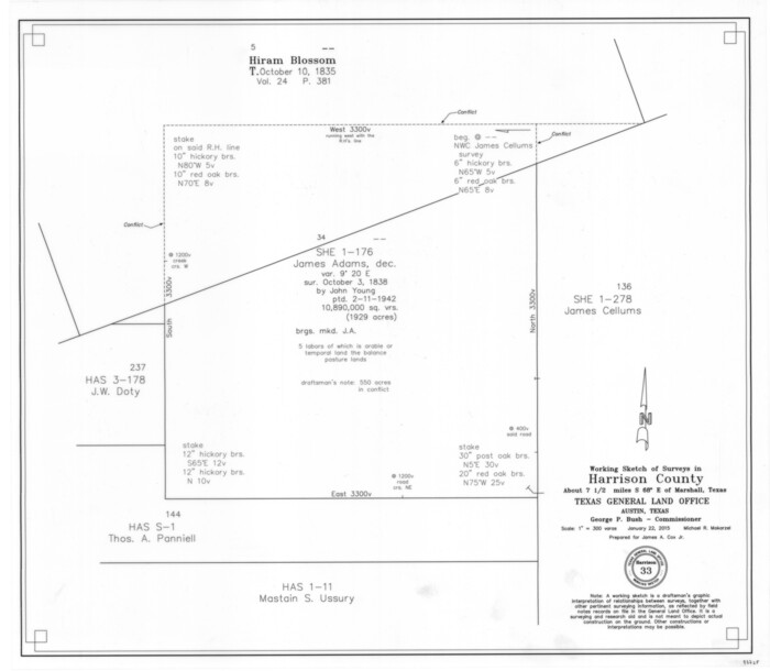
Harrison County Working Sketch 33
2015
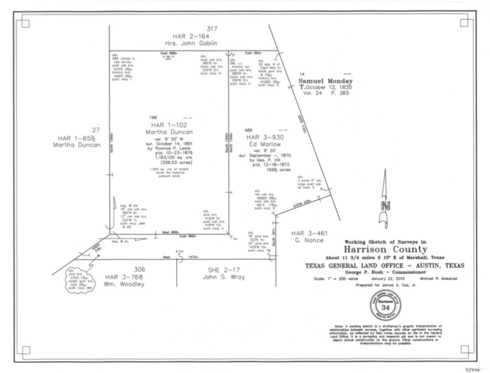
Harrison County Working Sketch 34
2015

Harrison County Rolled Sketch 15
2008
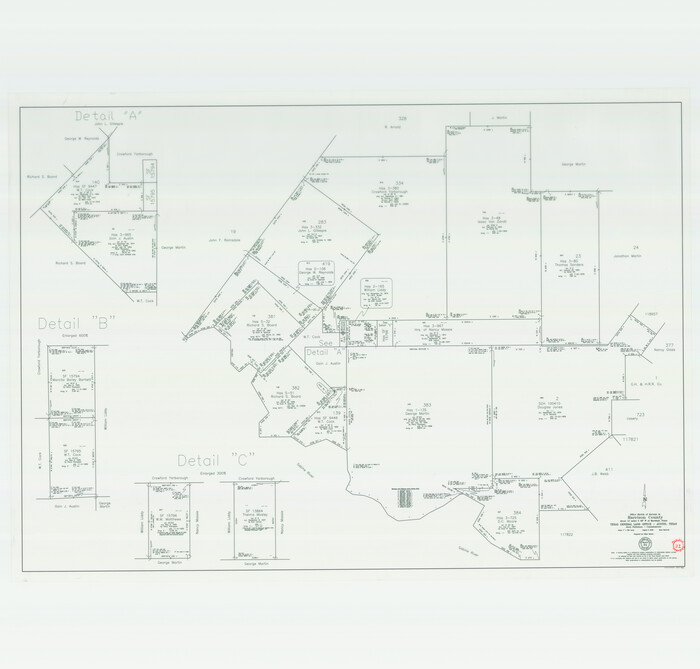
Harrison County Working Sketch 31
2006

Harrison County Working Sketch 30
2001
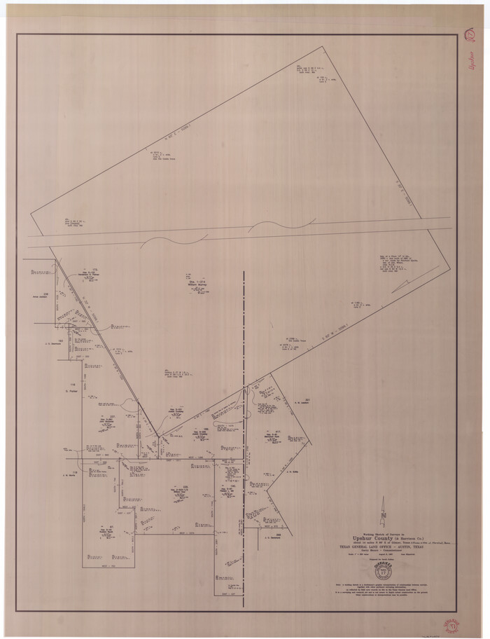
Upshur County Working Sketch 17
1997
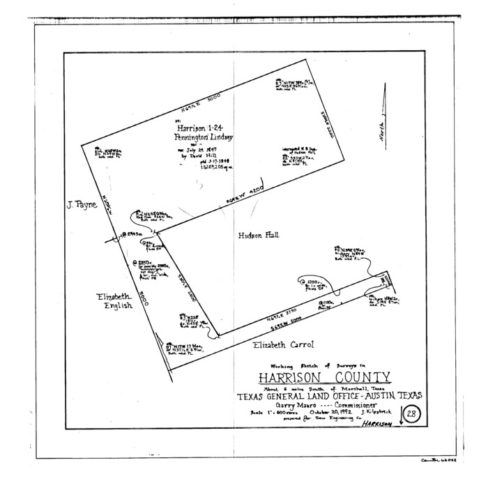
Harrison County Working Sketch 28
1992
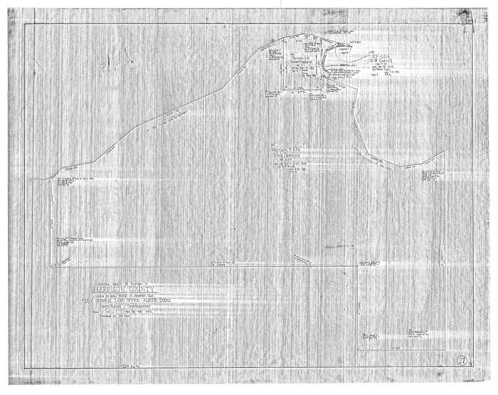
Harrison County Working Sketch 27
1988
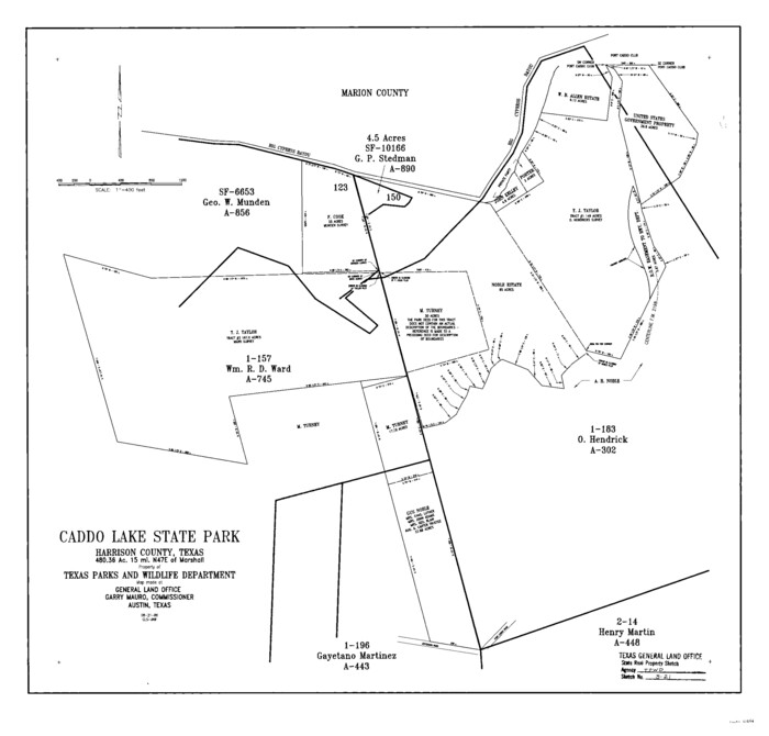
Harrison County State Real Property Sketch 2
1986
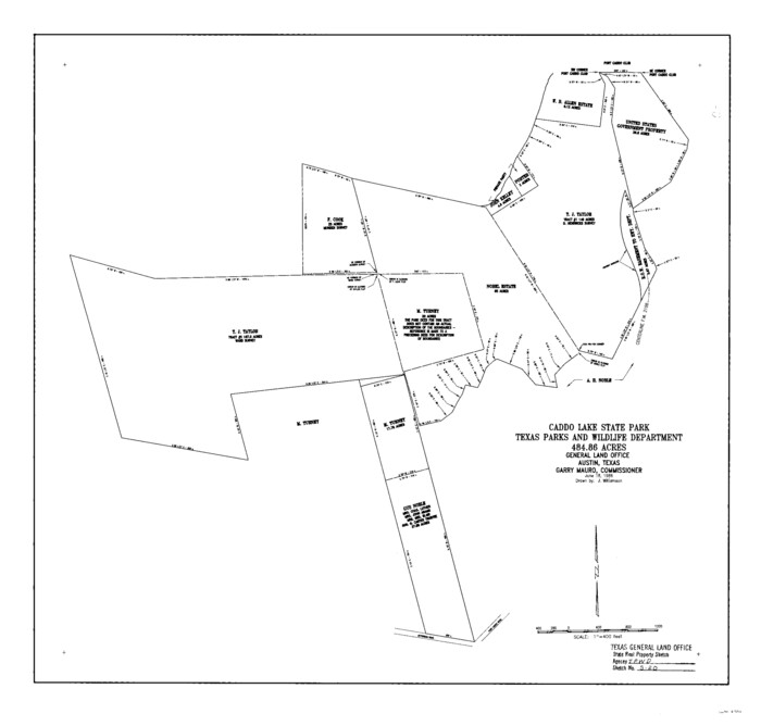
Harrison County State Real Property Sketch 1
1986
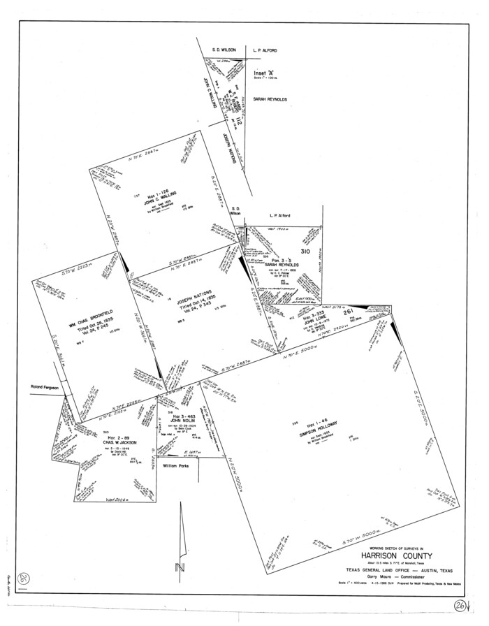
Harrison County Working Sketch 26
1986
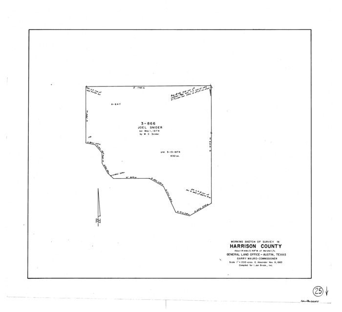
Harrison County Working Sketch 25
1983

Harrison County Working Sketch 24
1983
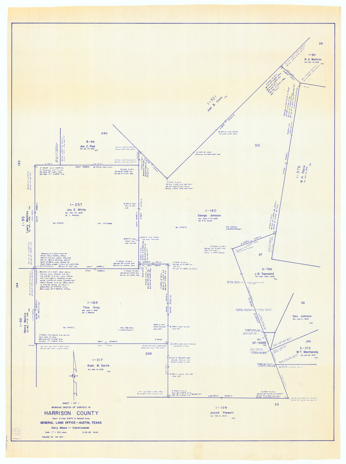
Harrison County Working Sketch 23
1983
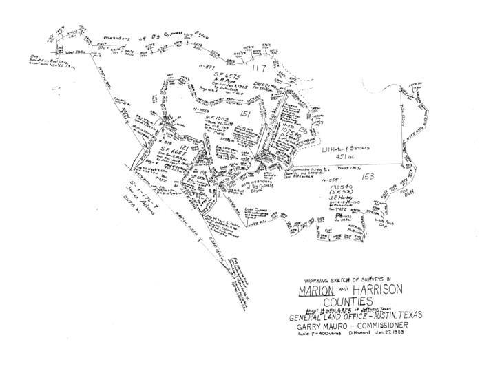
Marion County Working Sketch 33
1983

Harrison County Working Sketch 22
1982
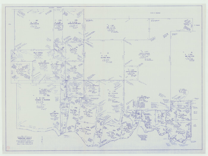
Harrison County Working Sketch 21
1982
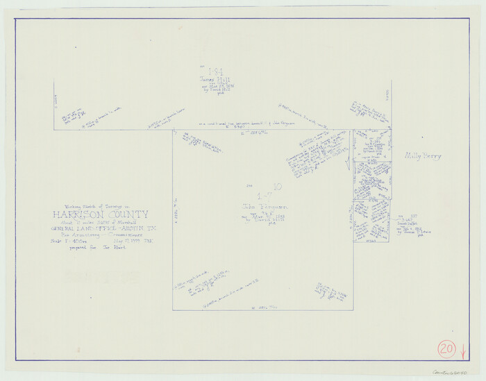
Harrison County Working Sketch 20
1979
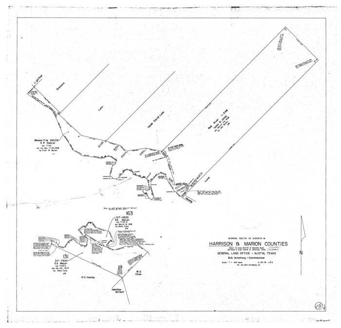
Harrison County Working Sketch 19
1978
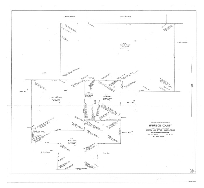
Harrison County Working Sketch 18
1976

The Republic County of Harrison. Created, January 28, 1839
2020
-
Size
18.6 x 21.7 inches
-
Map/Doc
96169
-
Creation Date
2020

The Republic County of Harrison. January 30, 1841
2020
-
Size
18.8 x 21.7 inches
-
Map/Doc
96170
-
Creation Date
2020

The Republic County of Harrison. June 24, 1841
2020
-
Size
18.6 x 21.7 inches
-
Map/Doc
96171
-
Creation Date
2020

The Republic County of Harrison. February 1, 1842
2020
-
Size
18.6 x 21.7 inches
-
Map/Doc
96172
-
Creation Date
2020

The Republic County of Harrison. Spring 1842
2020
-
Size
18.6 x 21.7 inches
-
Map/Doc
96173
-
Creation Date
2020

The Republic County of Harrison. January 16, 1843
2020
-
Size
18.6 x 21.7 inches
-
Map/Doc
96174
-
Creation Date
2020

The Republic County of Harrison. January 8, 1844
2020
-
Size
18.6 x 21.7 inches
-
Map/Doc
96175
-
Creation Date
2020

The Republic County of Harrison. December 31, 1844
2020
-
Size
18.6 x 21.7 inches
-
Map/Doc
96176
-
Creation Date
2020

The Republic County of Harrison. December 29, 1845
2020
-
Size
18.6 x 21.7 inches
-
Map/Doc
96177
-
Creation Date
2020

Harrison County Working Sketch 32
2015
-
Size
29.9 x 24.0 inches
-
Map/Doc
93724
-
Creation Date
2015

Harrison County Working Sketch 33
2015
-
Size
19.8 x 22.8 inches
-
Map/Doc
93725
-
Creation Date
2015

Harrison County Working Sketch 34
2015
-
Size
13.7 x 17.9 inches
-
Map/Doc
93726
-
Creation Date
2015

Harrison County Rolled Sketch 15
2008
-
Size
20.5 x 21.0 inches
-
Map/Doc
89045
-
Creation Date
2008

Harrison County Working Sketch 31
2006
-
Size
48.0 x 50.2 inches
-
Map/Doc
87148
-
Creation Date
2006

Harrison County Working Sketch 30
2001
-
Size
29.5 x 31.9 inches
-
Map/Doc
66050
-
Creation Date
2001

Upshur County Working Sketch 17
1997
-
Size
48.4 x 37.1 inches
-
Map/Doc
69575
-
Creation Date
1997

Harrison County Working Sketch 28
1992
-
Size
17.0 x 17.0 inches
-
Map/Doc
66048
-
Creation Date
1992

Harrison County Working Sketch 27
1988
-
Size
29.2 x 36.9 inches
-
Map/Doc
66047
-
Creation Date
1988

Harrison County State Real Property Sketch 2
1986
-
Size
23.9 x 25.0 inches
-
Map/Doc
61667
-
Creation Date
1986

Harrison County State Real Property Sketch 1
1986
-
Size
24.2 x 25.4 inches
-
Map/Doc
61666
-
Creation Date
1986

Harrison County Working Sketch 26
1986
-
Size
38.4 x 30.0 inches
-
Map/Doc
66046
-
Creation Date
1986

Harrison County Working Sketch 25
1983
-
Size
21.9 x 24.0 inches
-
Map/Doc
66045
-
Creation Date
1983

Harrison County Working Sketch 24
1983
-
Size
38.0 x 41.3 inches
-
Map/Doc
66044
-
Creation Date
1983

Harrison County Working Sketch 23
1983
-
Size
43.2 x 32.2 inches
-
Map/Doc
66043
-
Creation Date
1983

Marion County Working Sketch 33
1983
-
Size
16.0 x 20.7 inches
-
Map/Doc
70809
-
Creation Date
1983

Harrison County Working Sketch 22
1982
-
Size
54.2 x 37.0 inches
-
Map/Doc
66042
-
Creation Date
1982

Harrison County Working Sketch 21
1982
-
Size
37.6 x 49.9 inches
-
Map/Doc
66041
-
Creation Date
1982

Harrison County Working Sketch 20
1979
-
Size
15.3 x 19.5 inches
-
Map/Doc
66040
-
Creation Date
1979

Harrison County Working Sketch 19
1978
-
Size
31.8 x 33.1 inches
-
Map/Doc
66039
-
Creation Date
1978

Harrison County Working Sketch 18
1976
-
Size
37.0 x 40.1 inches
-
Map/Doc
66038
-
Creation Date
1976