
Atascosa County Rolled Sketch 21
1958
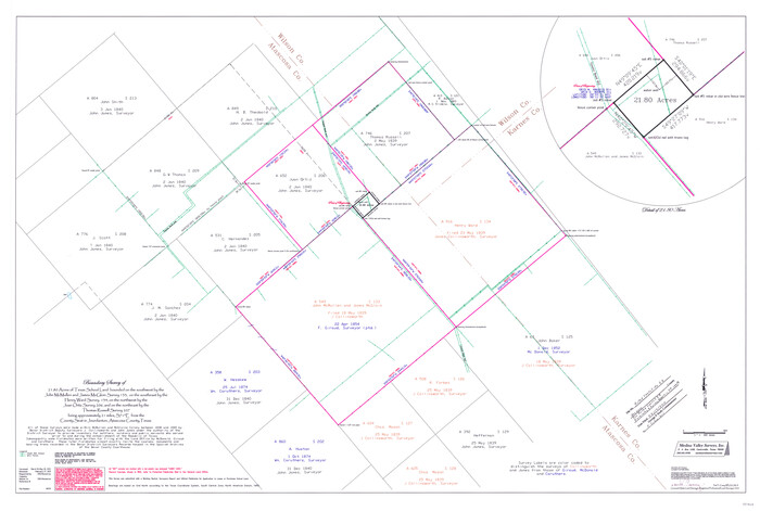
Atascosa County Rolled Sketch 26
2013

Atascosa County Rolled Sketch 27
2012

Atascosa County Sketch File 6
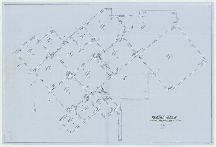
Atascosa County Working Sketch 23
1958

Bexar County Sketch File 60
2009
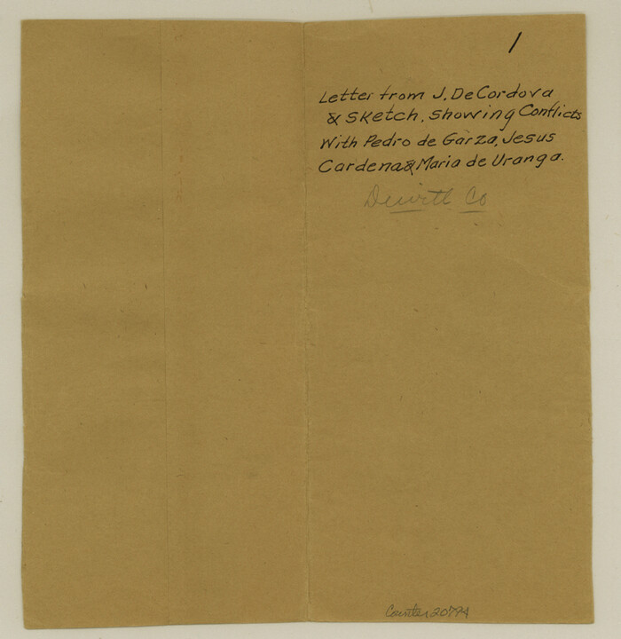
DeWitt County Sketch File 1
1851
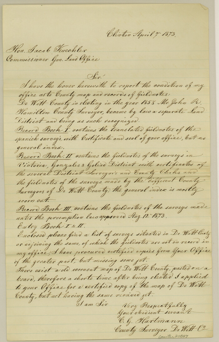
DeWitt County Sketch File 14
1873
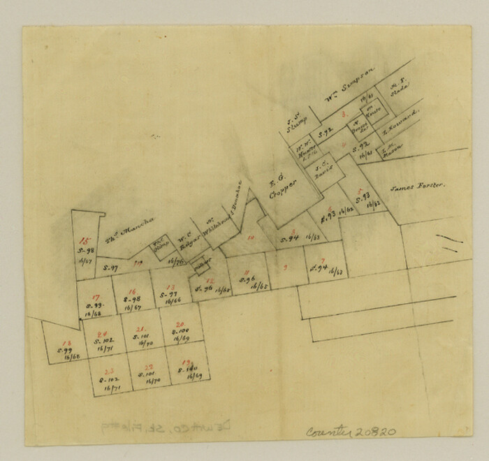
DeWitt County Sketch File 9
1878

DeWitt County Working Sketch 16
1920

DeWitt County Working Sketch 3
1957
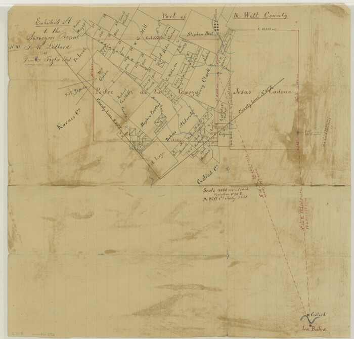
Exhibit A to the Surveyors Report, R.W. Lillard vs J.M. Taylor, et al
1881

General Highway Map, Karnes County, Texas
1940
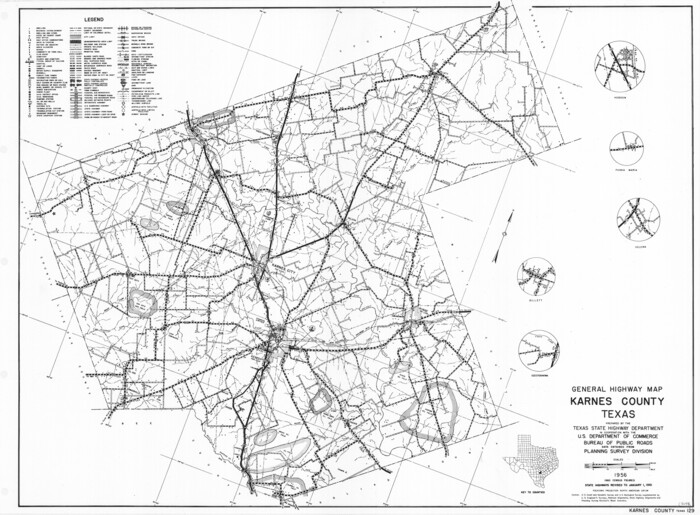
General Highway Map, Karnes County, Texas
1961

Goliad County Sketch File 12
1857

Goliad County Sketch File 13
1856

Goliad County Sketch File 14
1878

Goliad County Sketch File 17
1851

Goliad County Sketch File 18
1854
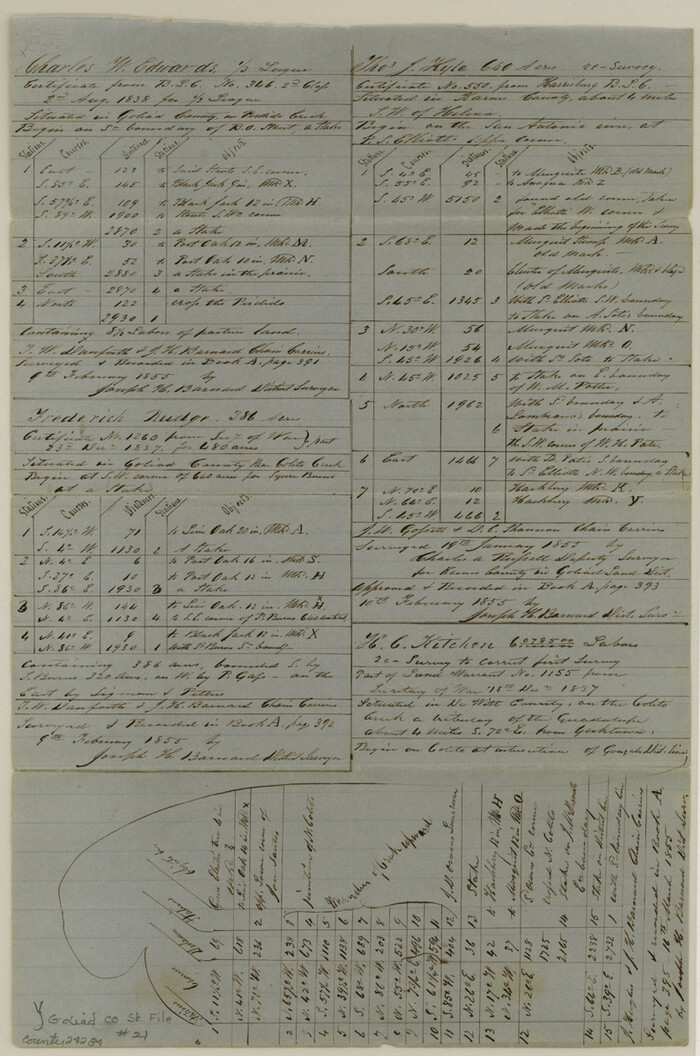
Goliad County Sketch File 21
1855

Goliad County Sketch File 24
1856

Goliad County Sketch File 26
1855

Goliad County Sketch File 26a
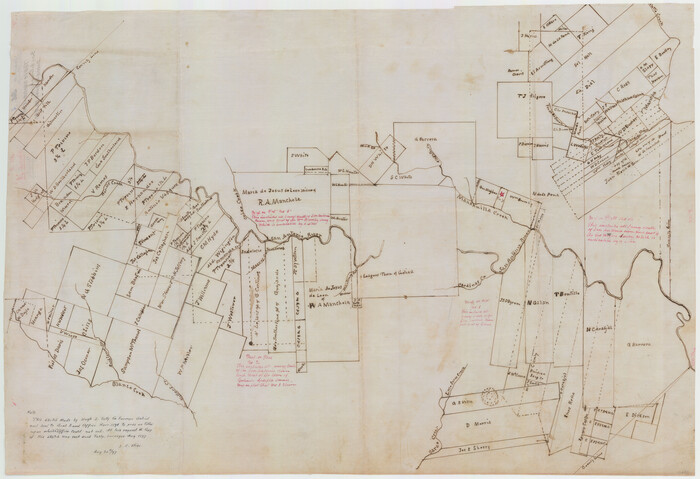
Goliad County Sketch File A
1897

Gonzales County Rolled Sketch 1
1917
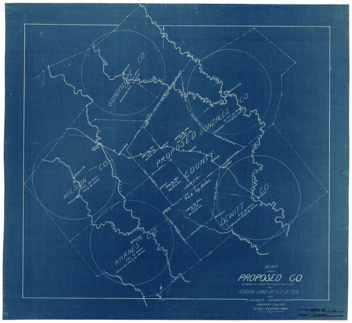
Gonzales County Rolled Sketch 1
1917
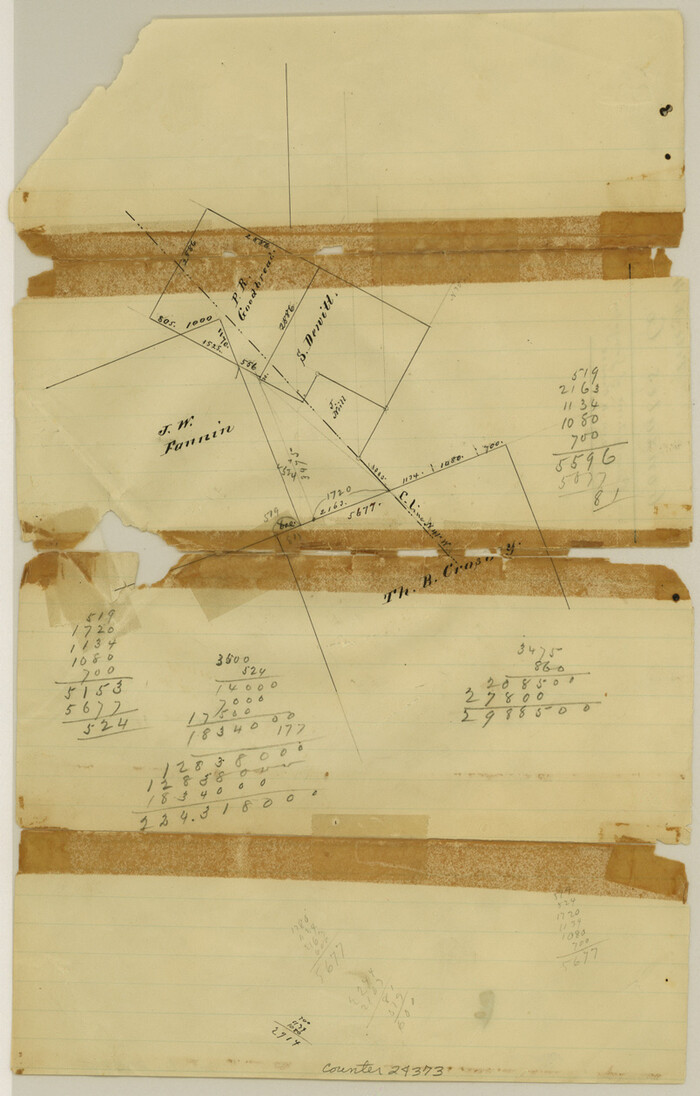
Gonzales County Sketch File 4
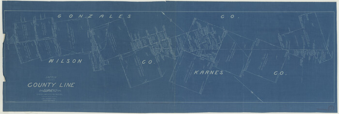
Gonzales County Working Sketch 1
1913

Atascosa County Rolled Sketch 21
1958
-
Size
25.0 x 38.0 inches
-
Map/Doc
5100
-
Creation Date
1958

Atascosa County Rolled Sketch 26
2013
-
Size
24.6 x 36.6 inches
-
Map/Doc
95409
-
Creation Date
2013

Atascosa County Rolled Sketch 27
2012
-
Size
25.9 x 34.1 inches
-
Map/Doc
95410
-
Creation Date
2012

Atascosa County Sketch File 6
-
Size
12.2 x 7.8 inches
-
Map/Doc
13752

Atascosa County Working Sketch 23
1958
-
Size
38.8 x 57.1 inches
-
Map/Doc
68434
-
Creation Date
1958

Bexar County Sketch File 60
2009
-
Size
11.0 x 8.5 inches
-
Map/Doc
93669
-
Creation Date
2009

DeWitt County Sketch File 1
1851
-
Size
8.4 x 8.2 inches
-
Map/Doc
20794
-
Creation Date
1851

DeWitt County Sketch File 14
1873
-
Size
12.8 x 8.2 inches
-
Map/Doc
20827
-
Creation Date
1873

DeWitt County Sketch File 9
1878
-
Size
5.6 x 5.9 inches
-
Map/Doc
20820
-
Creation Date
1878

DeWitt County Working Sketch 16
1920
-
Size
23.0 x 25.1 inches
-
Map/Doc
69016
-
Creation Date
1920

DeWitt County Working Sketch 3
1957
-
Size
35.5 x 44.6 inches
-
Map/Doc
68593
-
Creation Date
1957

Exhibit A to the Surveyors Report, R.W. Lillard vs J.M. Taylor, et al
1881
-
Size
12.4 x 12.9 inches
-
Map/Doc
683
-
Creation Date
1881

General Highway Map, Karnes County, Texas
1940
-
Size
18.3 x 24.7 inches
-
Map/Doc
79151
-
Creation Date
1940

General Highway Map, Karnes County, Texas
1961
-
Size
18.1 x 24.6 inches
-
Map/Doc
79547
-
Creation Date
1961

Goliad County Sketch File 12
1857
-
Size
12.9 x 7.9 inches
-
Map/Doc
24230
-
Creation Date
1857

Goliad County Sketch File 13
1856
-
Size
12.4 x 8.0 inches
-
Map/Doc
24239
-
Creation Date
1856

Goliad County Sketch File 14
1878
-
Size
8.6 x 11.4 inches
-
Map/Doc
24243
-
Creation Date
1878

Goliad County Sketch File 17
1851
-
Size
12.4 x 8.2 inches
-
Map/Doc
24249
-
Creation Date
1851

Goliad County Sketch File 18
1854
-
Size
12.8 x 15.5 inches
-
Map/Doc
24255
-
Creation Date
1854

Goliad County Sketch File 21
1855
-
Size
12.0 x 7.9 inches
-
Map/Doc
24284
-
Creation Date
1855

Goliad County Sketch File 24
1856
-
Size
12.9 x 8.2 inches
-
Map/Doc
24297
-
Creation Date
1856

Goliad County Sketch File 26
1855
-
Size
10.2 x 8.2 inches
-
Map/Doc
24308
-
Creation Date
1855

Goliad County Sketch File 26a
-
Size
12.8 x 8.3 inches
-
Map/Doc
24321

Goliad County Sketch File A
1897
-
Size
30.6 x 32.9 inches
-
Map/Doc
10465
-
Creation Date
1897

Gonzales County Rolled Sketch 1
1917
-
Size
21.9 x 23.9 inches
-
Map/Doc
6027
-
Creation Date
1917

Gonzales County Rolled Sketch 1
1917
-
Size
22.1 x 24.0 inches
-
Map/Doc
6028
-
Creation Date
1917

Gonzales County Sketch File 4
-
Size
12.6 x 8.0 inches
-
Map/Doc
24373

Gonzales County Working Sketch 1
1913
-
Size
16.8 x 49.8 inches
-
Map/Doc
63216
-
Creation Date
1913

Karnes Co.
1921
-
Size
47.0 x 41.0 inches
-
Map/Doc
4997
-
Creation Date
1921
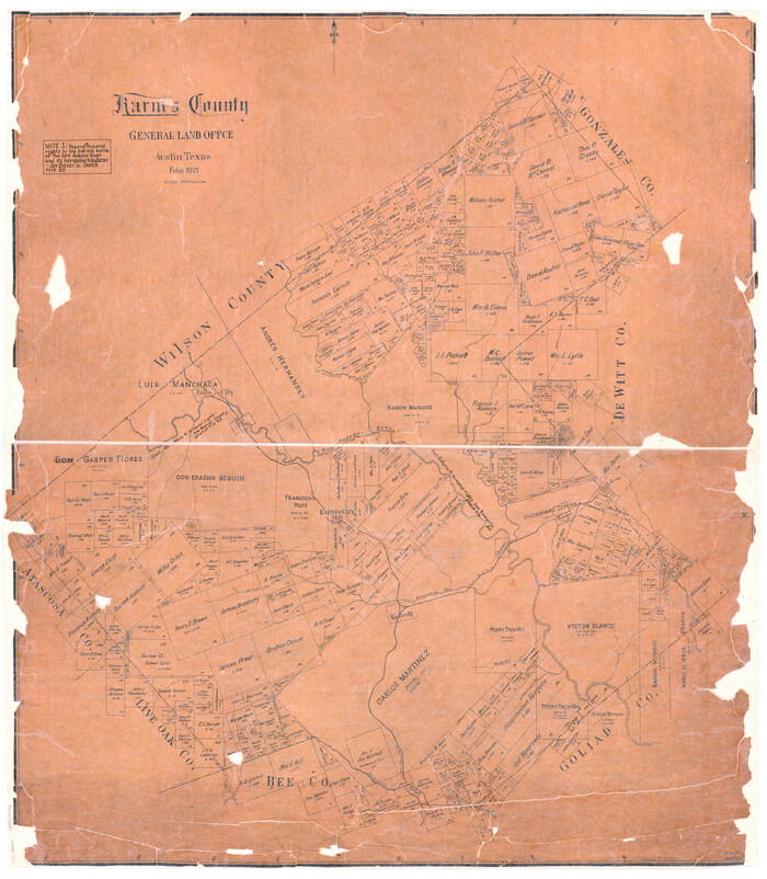
Karnes Co.
1921
-
Size
43.3 x 38.6 inches
-
Map/Doc
73201
-
Creation Date
1921