Right-of-way & Track Map Dawson Railway Operated by the El Paso & Southwestern Company Station 1233+41 to Station 1444+61.7

Print $40.00
- Digital $50.00
Right-of-way & Track Map Dawson Railway Operated by the El Paso & Southwestern Company Station 1233+41 to Station 1444+61.7
1910
Size: 56.8 x 24.6 inches
89653
Right-of-way & Track Map Dawson Railway Operated by the El Paso & Southwestern Company Station 1444+61.7 to Station 1655+23.4

Print $40.00
- Digital $50.00
Right-of-way & Track Map Dawson Railway Operated by the El Paso & Southwestern Company Station 1444+61.7 to Station 1655+23.4
1910
Size: 56.7 x 24.8 inches
89655
Right-of-way & Track Map Dawson Railway Operated by the El Paso & Southwestern Company Station 1655+23.4 to Station 1867+09.6

Print $40.00
- Digital $50.00
Right-of-way & Track Map Dawson Railway Operated by the El Paso & Southwestern Company Station 1655+23.4 to Station 1867+09.6
1910
Size: 56.7 x 24.6 inches
89657
Right-of-way & Track Map Dawson Railway Operated by the El Paso & Southwestern Company Station 1867+09.6 to Station 360+75.4

Print $40.00
- Digital $50.00
Right-of-way & Track Map Dawson Railway Operated by the El Paso & Southwestern Company Station 1867+09.6 to Station 360+75.4
1910
Size: 56.9 x 24.7 inches
89659
Right-of-way & Track Map Dawson Railway Operated by the El Paso & Southwestern Company Station 360+75.4 to Station 149+55.4

Print $40.00
- Digital $50.00
Right-of-way & Track Map Dawson Railway Operated by the El Paso & Southwestern Company Station 360+75.4 to Station 149+55.4
1910
Size: 56.8 x 24.7 inches
89660
Right-of-way & Track Map Dawson Railway Operated by the El Paso & Southwestern Company Station 1021+79.7 to Station 1233+41.7

Print $40.00
- Digital $50.00
Right-of-way & Track Map Dawson Railway Operated by the El Paso & Southwestern Company Station 1021+79.7 to Station 1233+41.7
1910
Size: 57.0 x 25.1 inches
89661
Right-of-way & Track Map Dawson Railway Operated by the El Paso & Southwestern Company Station 810+61.6 to Station 1021+79.7

Print $40.00
- Digital $50.00
Right-of-way & Track Map Dawson Railway Operated by the El Paso & Southwestern Company Station 810+61.6 to Station 1021+79.7
1910
Size: 56.6 x 24.7 inches
89662
[Sketch of Unknown Area in New Mexico]
Print $20.00
- Digital $50.00
[Sketch of Unknown Area in New Mexico]
Size: 47.2 x 37.4 inches
89816
Roswell District, New Mexico

Print $40.00
- Digital $50.00
Roswell District, New Mexico
Size: 40.7 x 57.6 inches
89817
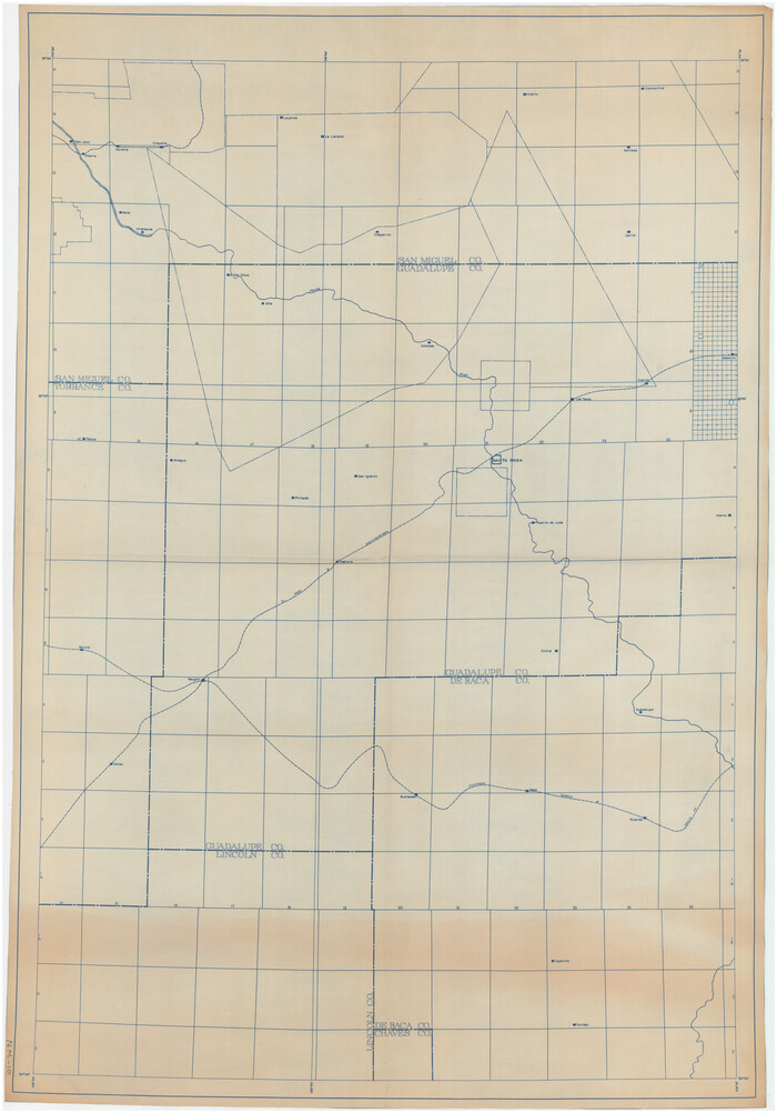
[Guadalupe, San Miguel, and other Counties, N.M.]
Print $40.00
- Digital $50.00
[Guadalupe, San Miguel, and other Counties, N.M.]
Size: 39.6 x 57.1 inches
89818
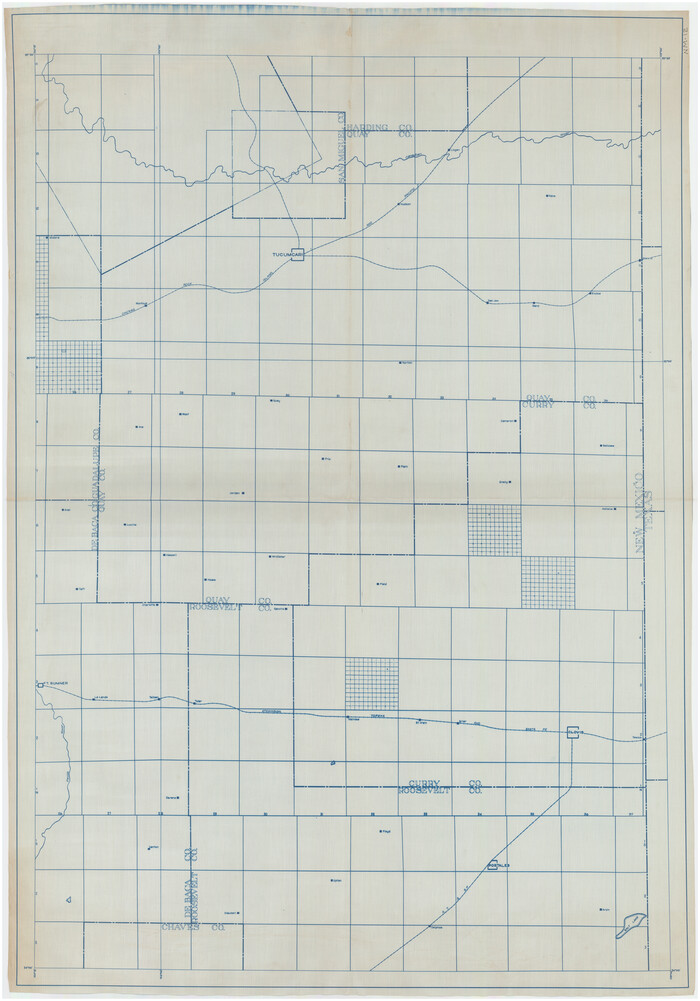
[Roosevelt, Quay, and other Counties, N.M.]
Print $40.00
- Digital $50.00
[Roosevelt, Quay, and other Counties, N.M.]
Size: 40.7 x 57.6 inches
89820
[East Portion of Lea County] / [Central part of San Miguel County, New Mexico]
Print $20.00
- Digital $50.00
[East Portion of Lea County] / [Central part of San Miguel County, New Mexico]
Size: 24.9 x 28.9 inches
92035
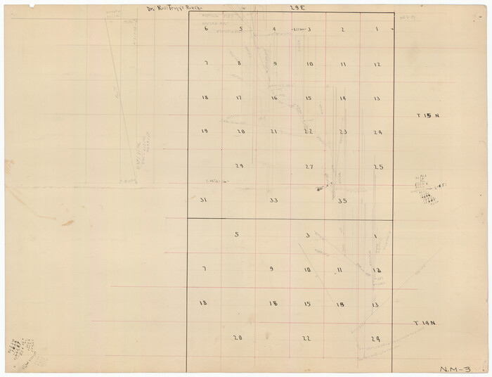
Dr. Ross Trigg's Ranch [Block 29E, Townships 14N and 15N]
Print $20.00
- Digital $50.00
Dr. Ross Trigg's Ranch [Block 29E, Townships 14N and 15N]
Size: 25.8 x 19.6 inches
92036
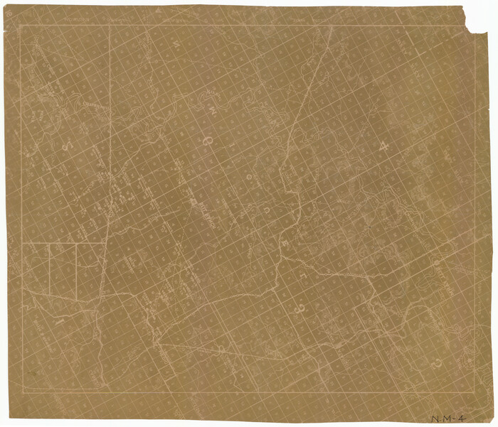
[Central Part of San Miguel County]
Print $20.00
- Digital $50.00
[Central Part of San Miguel County]
Size: 19.5 x 16.8 inches
92038
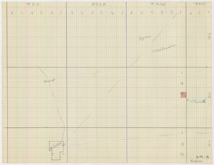
[Blocks R31E-R34E Township 11-13]
Print $20.00
- Digital $50.00
[Blocks R31E-R34E Township 11-13]
Size: 21.7 x 16.7 inches
92039
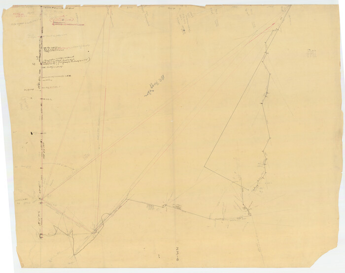
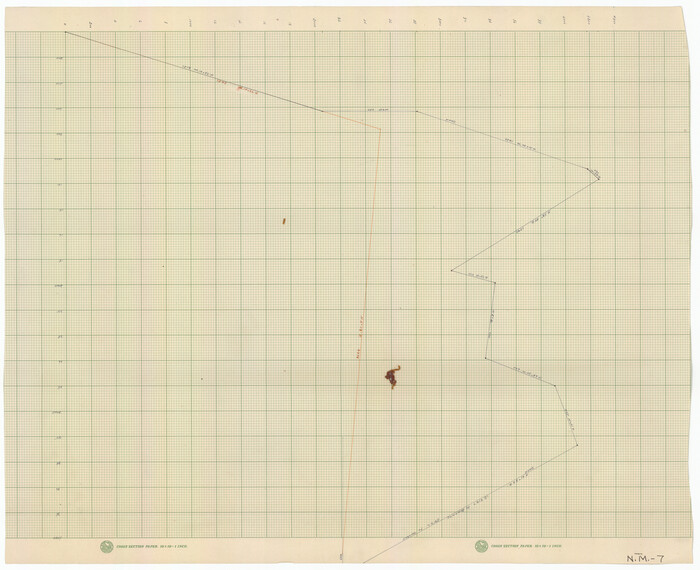
[Unknown Connecting Line]
Print $20.00
- Digital $50.00
[Unknown Connecting Line]
Size: 28.1 x 23.0 inches
92040
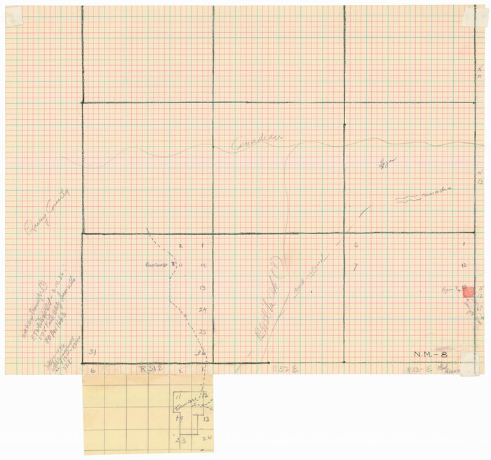
[Blocks R31E-R33E, Townships 12E-14E]
Print $20.00
- Digital $50.00
[Blocks R31E-R33E, Townships 12E-14E]
Size: 22.9 x 21.4 inches
92041
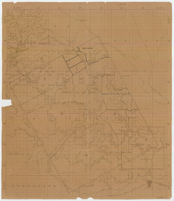
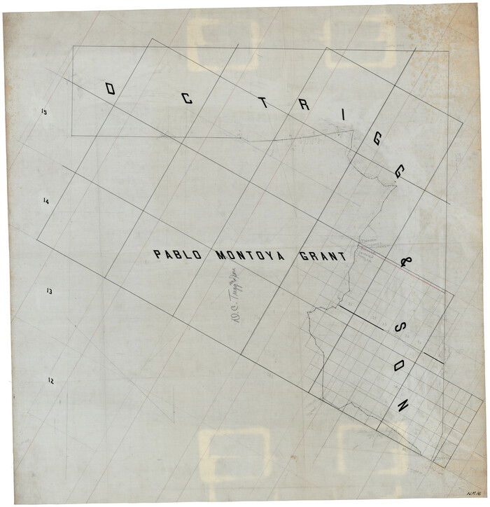
[Pablo Montoya Grant]
Print $40.00
- Digital $50.00
[Pablo Montoya Grant]
Size: 50.1 x 52.3 inches
93160
Right-of-way & Track Map Dawson Railway Operated by the El Paso & Southwestern Company Station 1233+41 to Station 1444+61.7
Print $40.00
- Digital $50.00
Right-of-way & Track Map Dawson Railway Operated by the El Paso & Southwestern Company Station 1233+41 to Station 1444+61.7
1910
-
Size
56.8 x 24.6 inches
-
Map/Doc
89653
-
Creation Date
1910
Right-of-way & Track Map Dawson Railway Operated by the El Paso & Southwestern Company Station 1444+61.7 to Station 1655+23.4
Print $40.00
- Digital $50.00
Right-of-way & Track Map Dawson Railway Operated by the El Paso & Southwestern Company Station 1444+61.7 to Station 1655+23.4
1910
-
Size
56.7 x 24.8 inches
-
Map/Doc
89655
-
Creation Date
1910
Right-of-way & Track Map Dawson Railway Operated by the El Paso & Southwestern Company Station 1655+23.4 to Station 1867+09.6
Print $40.00
- Digital $50.00
Right-of-way & Track Map Dawson Railway Operated by the El Paso & Southwestern Company Station 1655+23.4 to Station 1867+09.6
1910
-
Size
56.7 x 24.6 inches
-
Map/Doc
89657
-
Creation Date
1910
Right-of-way & Track Map Dawson Railway Operated by the El Paso & Southwestern Company Station 1867+09.6 to Station 360+75.4
Print $40.00
- Digital $50.00
Right-of-way & Track Map Dawson Railway Operated by the El Paso & Southwestern Company Station 1867+09.6 to Station 360+75.4
1910
-
Size
56.9 x 24.7 inches
-
Map/Doc
89659
-
Creation Date
1910
Right-of-way & Track Map Dawson Railway Operated by the El Paso & Southwestern Company Station 360+75.4 to Station 149+55.4
Print $40.00
- Digital $50.00
Right-of-way & Track Map Dawson Railway Operated by the El Paso & Southwestern Company Station 360+75.4 to Station 149+55.4
1910
-
Size
56.8 x 24.7 inches
-
Map/Doc
89660
-
Creation Date
1910
Right-of-way & Track Map Dawson Railway Operated by the El Paso & Southwestern Company Station 1021+79.7 to Station 1233+41.7
Print $40.00
- Digital $50.00
Right-of-way & Track Map Dawson Railway Operated by the El Paso & Southwestern Company Station 1021+79.7 to Station 1233+41.7
1910
-
Size
57.0 x 25.1 inches
-
Map/Doc
89661
-
Creation Date
1910
Right-of-way & Track Map Dawson Railway Operated by the El Paso & Southwestern Company Station 810+61.6 to Station 1021+79.7
Print $40.00
- Digital $50.00
Right-of-way & Track Map Dawson Railway Operated by the El Paso & Southwestern Company Station 810+61.6 to Station 1021+79.7
1910
-
Size
56.6 x 24.7 inches
-
Map/Doc
89662
-
Creation Date
1910
[Sketch of Unknown Area in New Mexico]
Print $20.00
- Digital $50.00
[Sketch of Unknown Area in New Mexico]
-
Size
47.2 x 37.4 inches
-
Map/Doc
89816
Roswell District, New Mexico
Print $40.00
- Digital $50.00
Roswell District, New Mexico
-
Size
40.7 x 57.6 inches
-
Map/Doc
89817
[Guadalupe, San Miguel, and other Counties, N.M.]
Print $40.00
- Digital $50.00
[Guadalupe, San Miguel, and other Counties, N.M.]
-
Size
39.6 x 57.1 inches
-
Map/Doc
89818
[Roosevelt, Quay, and other Counties, N.M.]
Print $40.00
- Digital $50.00
[Roosevelt, Quay, and other Counties, N.M.]
-
Size
40.7 x 57.6 inches
-
Map/Doc
89820
[East Portion of Lea County] / [Central part of San Miguel County, New Mexico]
Print $20.00
- Digital $50.00
[East Portion of Lea County] / [Central part of San Miguel County, New Mexico]
-
Size
24.9 x 28.9 inches
-
Map/Doc
92035
Dr. Ross Trigg's Ranch [Block 29E, Townships 14N and 15N]
Print $20.00
- Digital $50.00
Dr. Ross Trigg's Ranch [Block 29E, Townships 14N and 15N]
-
Size
25.8 x 19.6 inches
-
Map/Doc
92036
[Central Part of San Miguel County]
Print $20.00
- Digital $50.00
[Central Part of San Miguel County]
-
Size
19.5 x 16.8 inches
-
Map/Doc
92038
[Blocks R31E-R34E Township 11-13]
Print $20.00
- Digital $50.00
[Blocks R31E-R34E Township 11-13]
-
Size
21.7 x 16.7 inches
-
Map/Doc
92039
[Unknown Connecting Line]
Print $20.00
- Digital $50.00
[Unknown Connecting Line]
-
Size
28.1 x 23.0 inches
-
Map/Doc
92040
[Blocks R31E-R33E, Townships 12E-14E]
Print $20.00
- Digital $50.00
[Blocks R31E-R33E, Townships 12E-14E]
-
Size
22.9 x 21.4 inches
-
Map/Doc
92041
[Pablo Montoya Grant]
Print $40.00
- Digital $50.00
[Pablo Montoya Grant]
-
Size
50.1 x 52.3 inches
-
Map/Doc
93160