
Tarrant County State Real Property Sketch 4
2018

Tarrant County Sketch File 36
2018

Wise County Sketch File 54
2012

Wise County Working Sketch 31
2009

Wise County Sketch File 53
2007
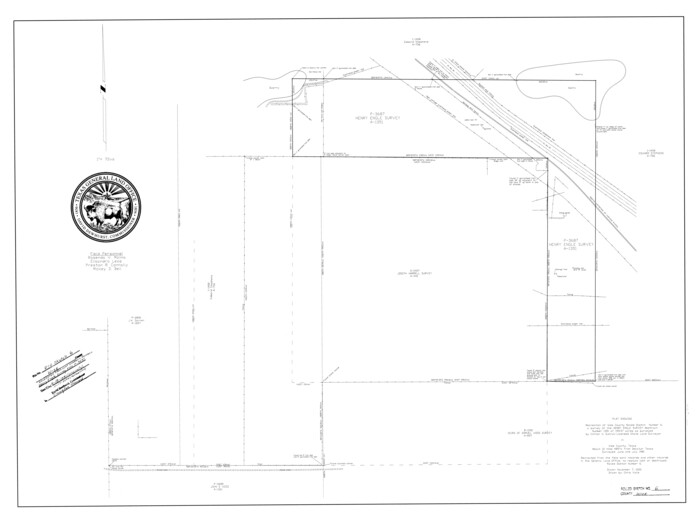
Wise County Rolled Sketch 6
2000
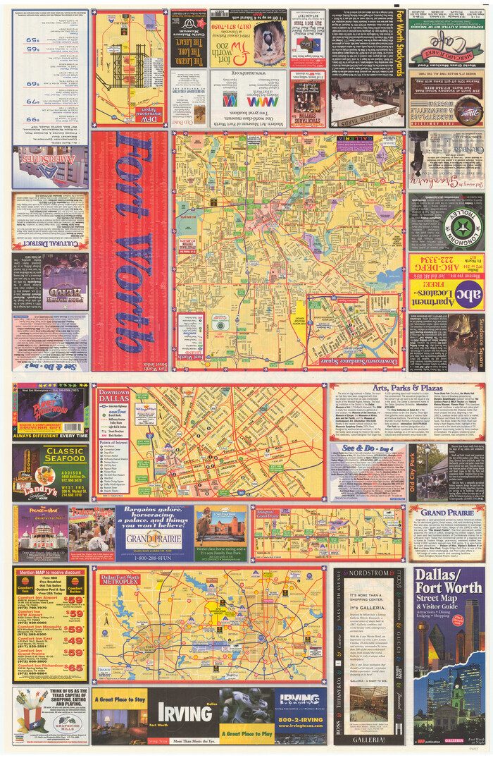
Dallas/Fort Worth Street Map & Visitor Guide
2000
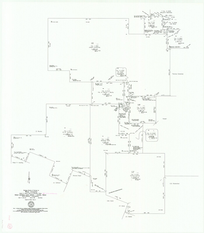
Wise County Working Sketch 30
1999

Wise County Working Sketch 29
1997
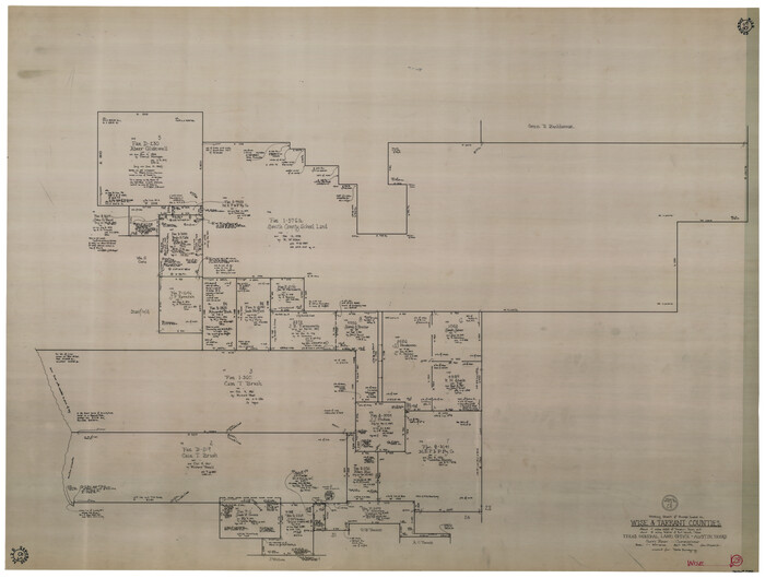
Wise County Working Sketch 28
1996

Denton County Working Sketch 26
1995

Denton County Working Sketch 28
1995
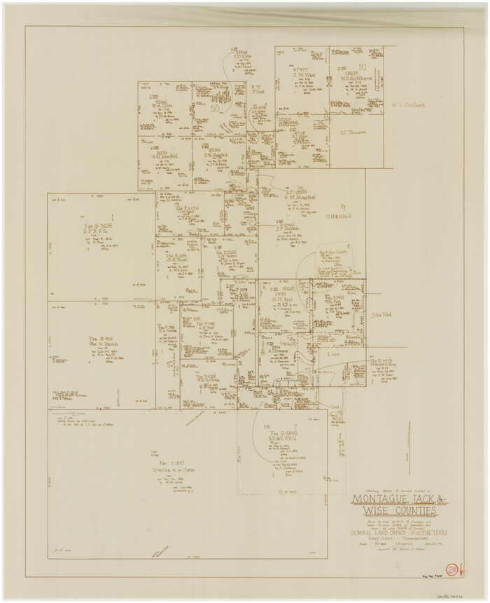
Jack County Working Sketch 20
1991

Wise County Working Sketch 27
1988
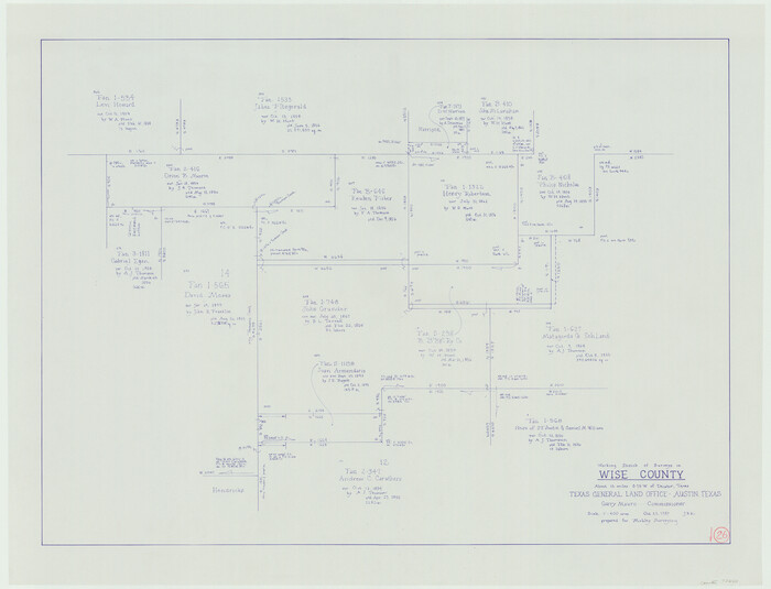
Wise County Working Sketch 26
1987
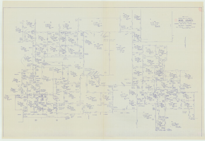
Wise County Working Sketch 25
1983
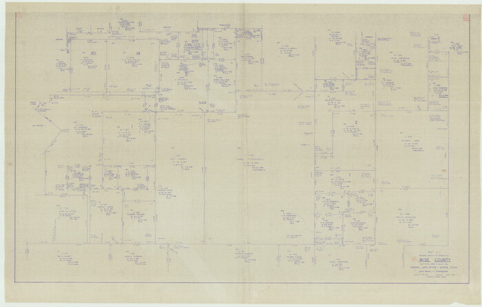
Wise County Working Sketch 24
1983

Wise County Sketch File 52
1982
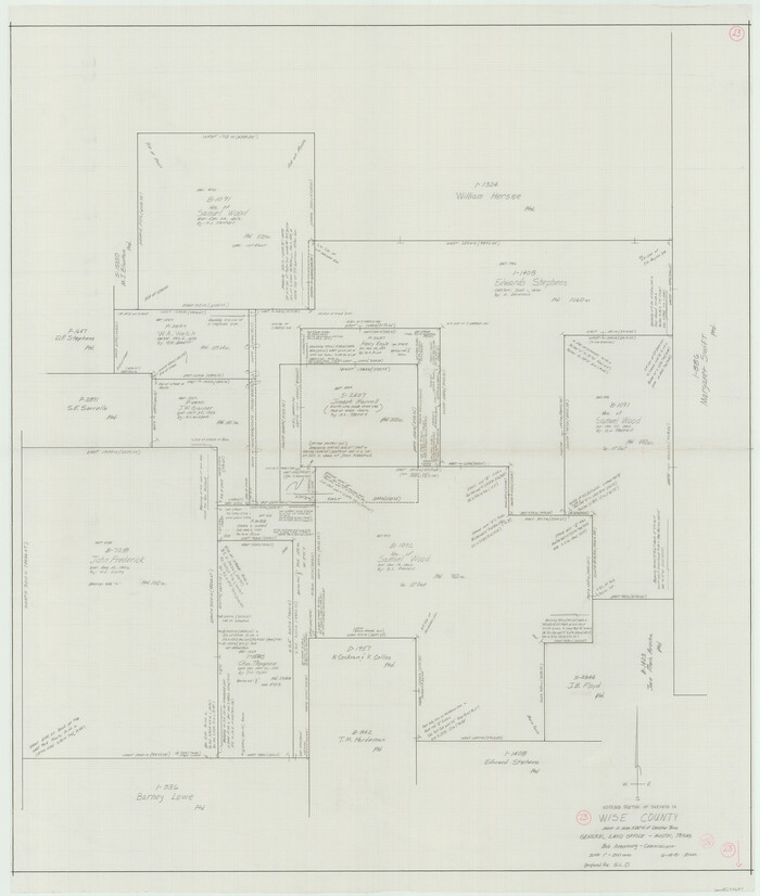
Wise County Working Sketch 23
1981

Tarrant County Working Sketch 7
1981
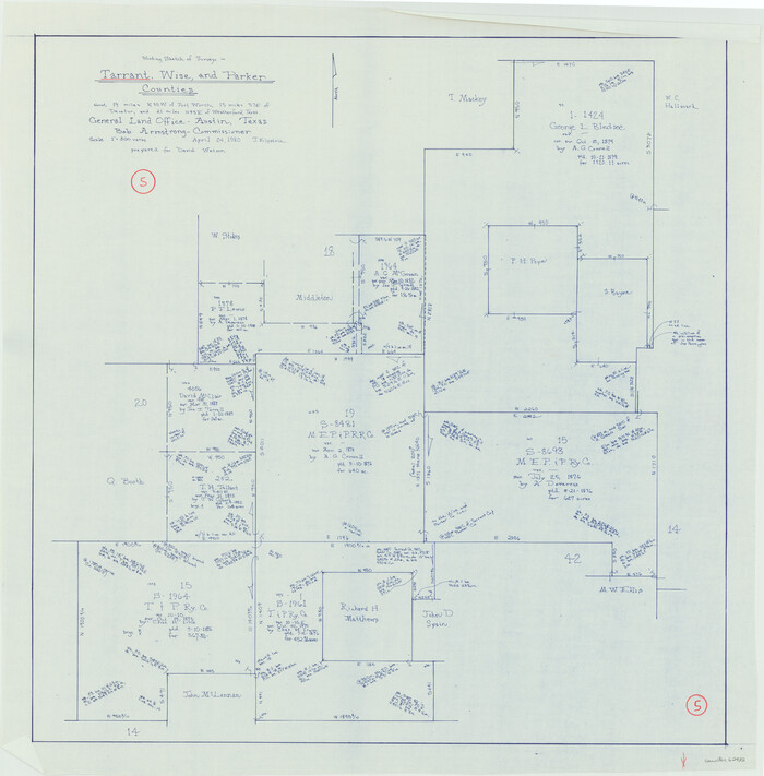
Tarrant County Working Sketch 5
1980
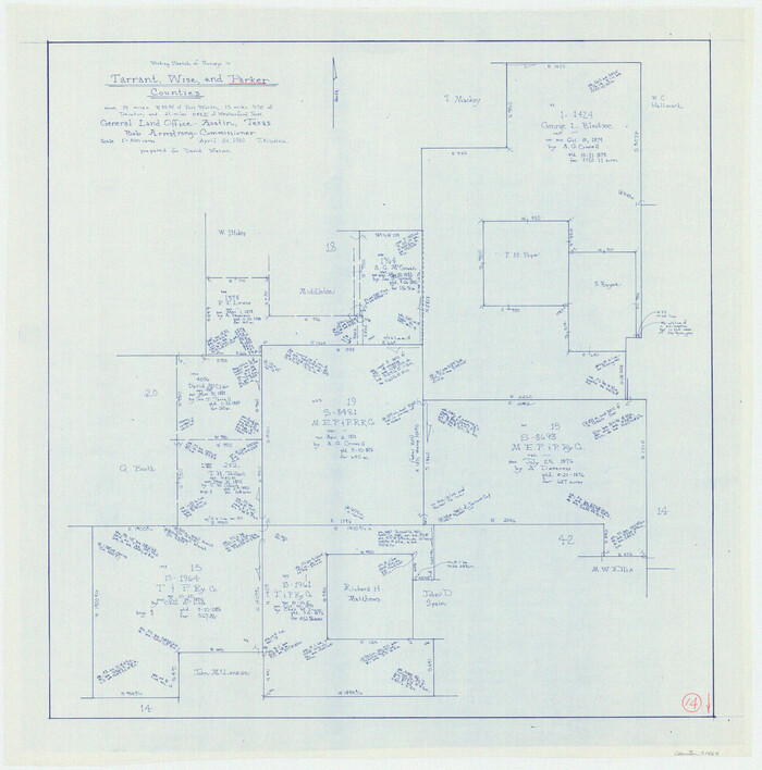
Parker County Working Sketch 14
1980
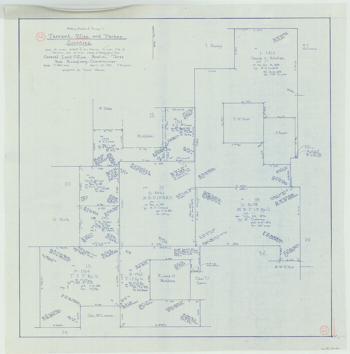
Wise County Working Sketch 22
1980

Montague County Working Sketch 35
1980
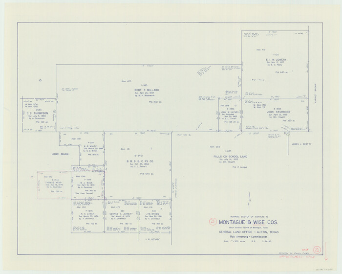
Wise County Working Sketch 21
1980

Wise County Working Sketch 20
1979
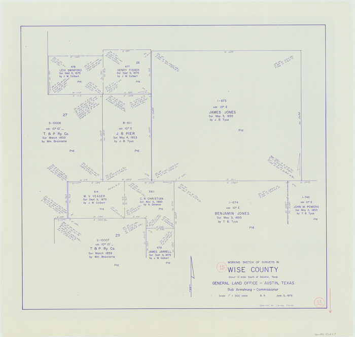
Wise County Working Sketch 15
1979
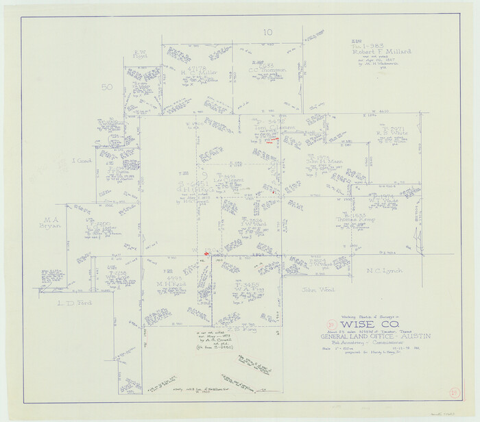
Wise County Working Sketch 19
1978
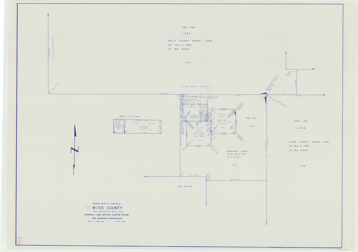
Wise County Working Sketch 18
1978
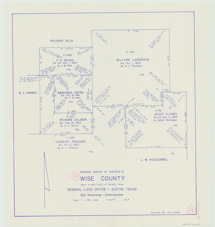
Wise County Working Sketch 14
1977

Tarrant County State Real Property Sketch 4
2018
-
Size
47.8 x 35.9 inches
-
Map/Doc
95403
-
Creation Date
2018

Tarrant County Sketch File 36
2018
-
Size
11.0 x 8.5 inches
-
Map/Doc
95395
-
Creation Date
2018

Wise County Sketch File 54
2012
-
Size
11.0 x 8.5 inches
-
Map/Doc
93553
-
Creation Date
2012

Wise County Working Sketch 31
2009
-
Size
27.9 x 37.5 inches
-
Map/Doc
89985
-
Creation Date
2009

Wise County Sketch File 53
2007
-
Size
8.5 x 14.0 inches
-
Map/Doc
87360
-
Creation Date
2007

Wise County Rolled Sketch 6
2000
-
Size
32.0 x 43.1 inches
-
Map/Doc
8280
-
Creation Date
2000

Dallas/Fort Worth Street Map & Visitor Guide
2000
-
Size
35.6 x 23.2 inches
-
Map/Doc
94295
-
Creation Date
2000

Wise County Working Sketch 30
1999
-
Size
39.2 x 34.3 inches
-
Map/Doc
72644
-
Creation Date
1999

Wise County Working Sketch 29
1997
-
Size
22.3 x 26.8 inches
-
Map/Doc
72643
-
Creation Date
1997

Wise County Working Sketch 28
1996
-
Size
37.5 x 48.8 inches
-
Map/Doc
72642
-
Creation Date
1996

Denton County Working Sketch 26
1995
-
Size
29.3 x 33.9 inches
-
Map/Doc
68631
-
Creation Date
1995

Denton County Working Sketch 28
1995
-
Size
36.1 x 22.9 inches
-
Map/Doc
68633
-
Creation Date
1995

Jack County Working Sketch 20
1991
-
Size
35.4 x 28.9 inches
-
Map/Doc
66446
-
Creation Date
1991

Wise County Working Sketch 27
1988
-
Size
28.0 x 37.2 inches
-
Map/Doc
72641
-
Creation Date
1988

Wise County Working Sketch 26
1987
-
Size
25.8 x 33.7 inches
-
Map/Doc
72640
-
Creation Date
1987

Wise County Working Sketch 25
1983
-
Size
37.1 x 53.8 inches
-
Map/Doc
72639
-
Creation Date
1983

Wise County Working Sketch 24
1983
-
Size
37.1 x 58.2 inches
-
Map/Doc
72638
-
Creation Date
1983

Wise County Sketch File 52
1982
-
Size
14.2 x 8.6 inches
-
Map/Doc
40619
-
Creation Date
1982

Wise County Working Sketch 23
1981
-
Size
43.6 x 36.9 inches
-
Map/Doc
72637
-
Creation Date
1981

Tarrant County Working Sketch 7
1981
-
Size
18.9 x 54.3 inches
-
Map/Doc
62424
-
Creation Date
1981

Tarrant County Working Sketch 5
1980
-
Size
27.7 x 27.3 inches
-
Map/Doc
62422
-
Creation Date
1980

Parker County Working Sketch 14
1980
-
Map/Doc
71464
-
Creation Date
1980

Wise County Working Sketch 22
1980
-
Size
28.1 x 27.8 inches
-
Map/Doc
72636
-
Creation Date
1980

Montague County Working Sketch 35
1980
-
Size
24.8 x 31.9 inches
-
Map/Doc
71101
-
Creation Date
1980

Wise County Working Sketch 21
1980
-
Size
25.9 x 32.4 inches
-
Map/Doc
72635
-
Creation Date
1980

Wise County Working Sketch 20
1979
-
Size
22.8 x 27.3 inches
-
Map/Doc
72634
-
Creation Date
1979

Wise County Working Sketch 15
1979
-
Size
23.3 x 24.6 inches
-
Map/Doc
72629
-
Creation Date
1979

Wise County Working Sketch 19
1978
-
Size
28.6 x 32.5 inches
-
Map/Doc
72633
-
Creation Date
1978

Wise County Working Sketch 18
1978
-
Size
32.8 x 46.5 inches
-
Map/Doc
72632
-
Creation Date
1978

Wise County Working Sketch 14
1977
-
Size
19.0 x 18.0 inches
-
Map/Doc
72628
-
Creation Date
1977