138 results

Alvord, Texas
89072.tif
Print $20.00

Alvord, Texas

1890

Size: 12.6 x 19.3 inches
89072
Alvord, Texas
93471.tif
Print $20.00

Alvord, Texas

1890

Size: 14.4 x 22.8 inches
93471
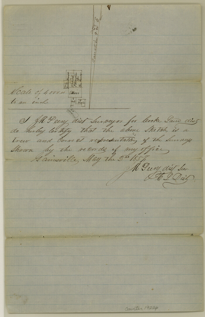
Cooke County Sketch File 5
19226, Cooke County Sketch File 5, General Map Collection
Print $4.00 - Digital $50.00

Cooke County Sketch File 5

1857
Size: 12.7 x 8.2 inches
19226
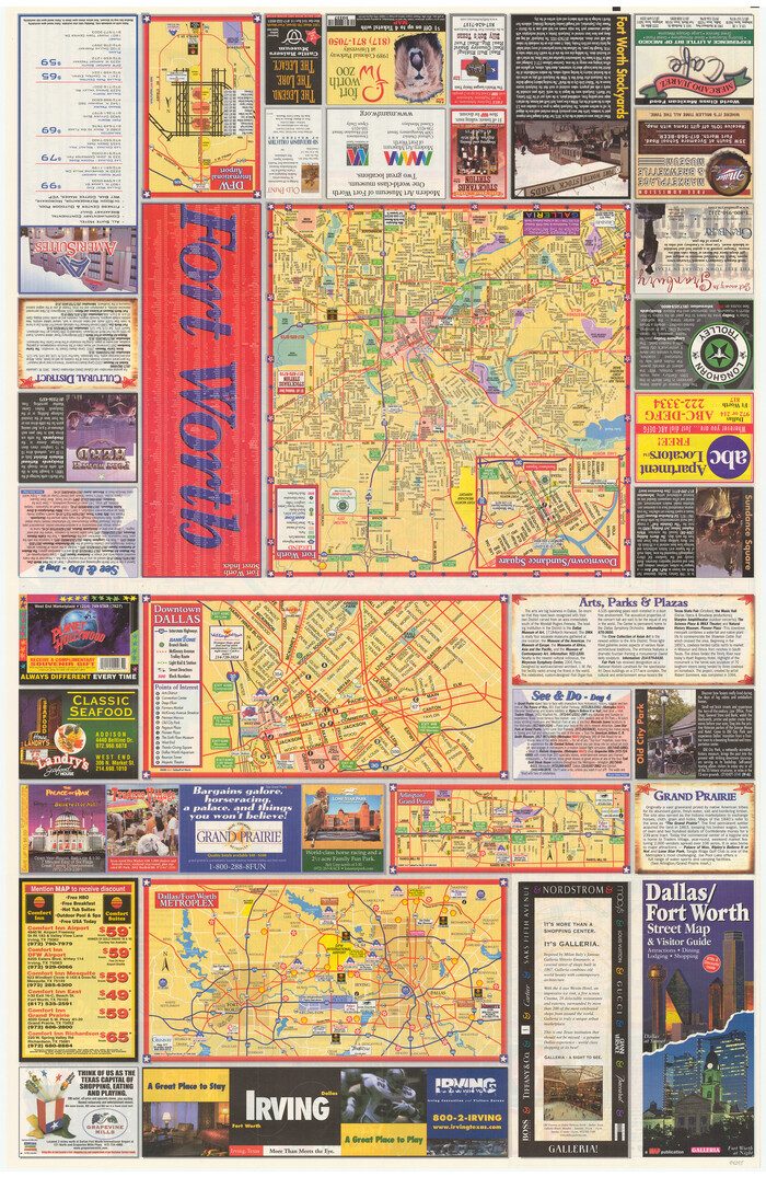
Dallas/Fort Worth Street Map & Visitor Guide
94295.tif

Dallas/Fort Worth Street Map & Visitor Guide

2000

Size: 35.6 x 23.2 inches
94295
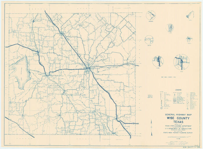
General Highway Map, Wise County, Texas
79284.tif
Print $20.00

General Highway Map, Wise County, Texas

1940

Size: 18.2 x 24.8 inches
79284
Jack County Sketch File 10a
27529, Jack County Sketch File 10a, General Map Collection
Print $4.00 - Digital $50.00

Jack County Sketch File 10a

1858

Size: 13.8 x 8.3 inches
27529
Jack County Sketch File 14 1/2
27543, Jack County Sketch File 14 1/2, General Map Collection
Print $4.00 - Digital $50.00

Jack County Sketch File 14 1/2

1876

Size: 8.5 x 12.7 inches
27543
Jack County Sketch File 16a
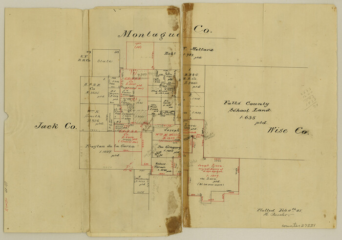
27551, Jack County Sketch File 16a, General Map Collection
Print $4.00 - Digital $50.00

Jack County Sketch File 16a

1885

Size: 8.3 x 11.8 inches
27551
Jack County Sketch File 5a
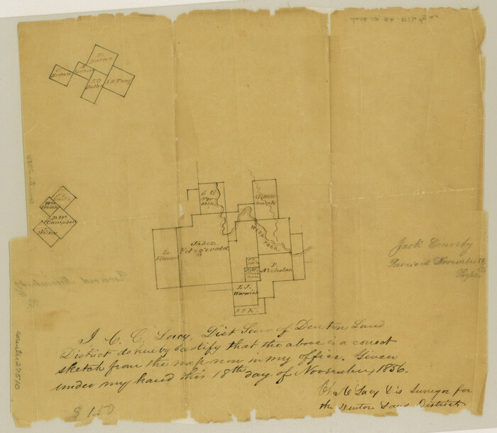
27510, Jack County Sketch File 5a, General Map Collection
Print $6.00 - Digital $50.00

Jack County Sketch File 5a

1856

Size: 8.6 x 9.8 inches
27510
Map Exhibiting the line of the Southern Trans-Continental R.R. from Marshall to Texarkana from Texarkana to Forth Worth
64241-GC.tif
Print $20.00 - Digital $50.00

Map Exhibiting the line of the Southern Trans-Continental R.R. from Marshall to Texarkana from Texarkana to Forth Worth

1872

Size: 24.6 x 47.8 inches
64241
Map of Chicago, Rock Island & Texas Railway through Montague and Wise Counties, Texas
64468.tif
Print $40.00 - Digital $50.00

Map of Chicago, Rock Island & Texas Railway through Montague and Wise Counties, Texas

1893

Size: 20.2 x 124.5 inches
64468
Map of Chicago, Rock Island & Texas Railway through Montague and Wise Counties, Texas
64469.tif
Print $20.00 - Digital $50.00

Map of Chicago, Rock Island & Texas Railway through Montague and Wise Counties, Texas

1893

Size: 19.0 x 47.6 inches
64469
Map of Chicago, Rock Island & Texas Railway through Wise and Tarrant County, Texas
64428-1.tif
Print $40.00 - Digital $50.00

Map of Chicago, Rock Island & Texas Railway through Wise and Tarrant County, Texas

1893
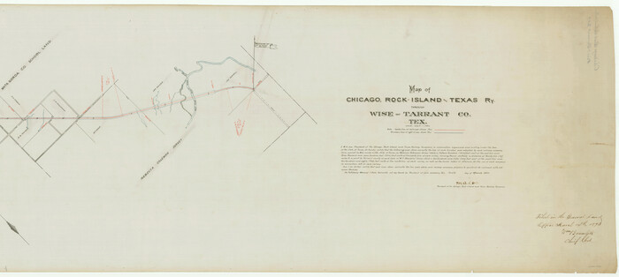
Size: 19.4 x 121.0 inches
64428
Map of Chicago, Rock Island & Texas Railway through Wise and Tarrant County, Texas
64429.tif
Print $20.00 - Digital $50.00

Map of Chicago, Rock Island & Texas Railway through Wise and Tarrant County, Texas

1893
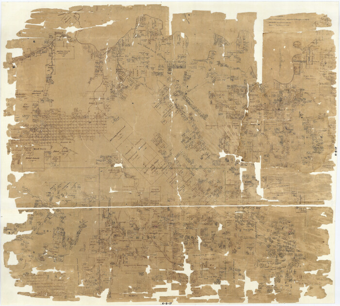
Size: 19.6 x 43.7 inches
64429
Map of Cooke County
1973.tif
Print $20.00 - Digital $50.00

Map of Cooke County

1857

Size: 34.1 x 37.9 inches
1973
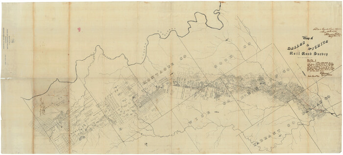
Map of Dallas & Wichita Railroad Survey
64417.tif
Print $40.00 - Digital $50.00

Map of Dallas & Wichita Railroad Survey

1874
Size: 37.3 x 82.7 inches
64417
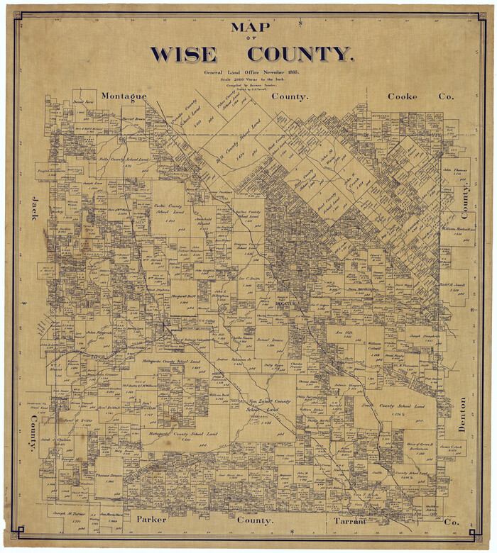
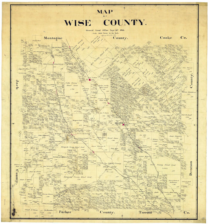
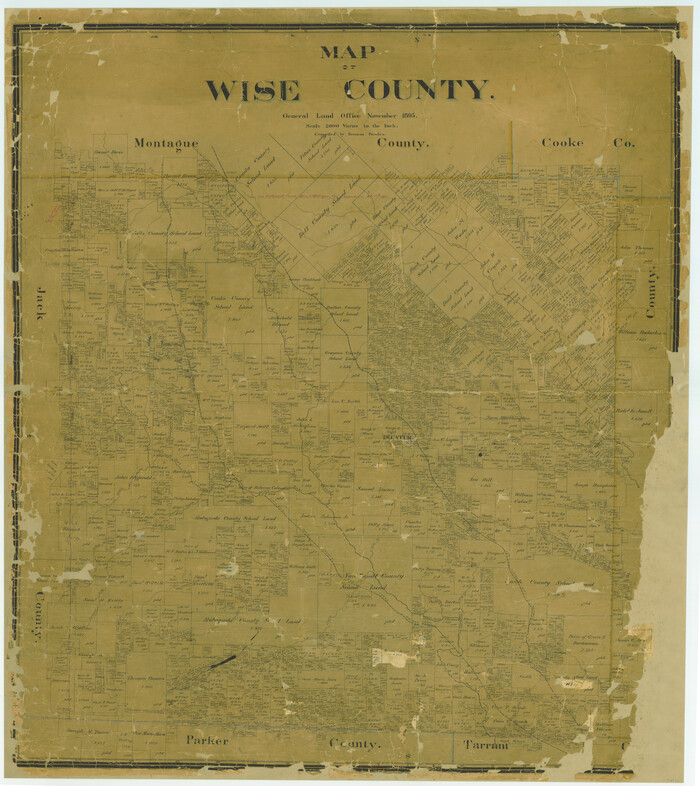
Map of Wise County
16932.tif
Print $20.00 - Digital $50.00

Map of Wise County

1895

Size: 41.8 x 37.2 inches
16932
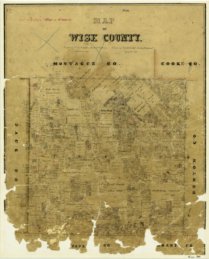
Map of Wise County
4162.tif
Print $20.00 - Digital $50.00

Map of Wise County

1862

Size: 23.5 x 19.0 inches
4162
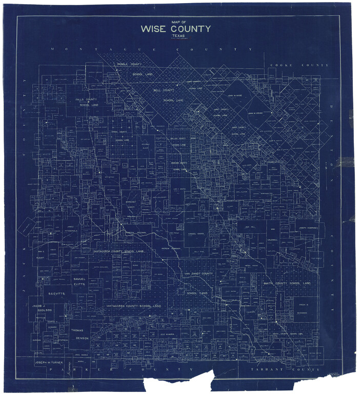
Map of Wise County
63133-GC.tif
Print $20.00 - Digital $50.00

Map of Wise County

1895

Size: 41.7 x 37.5 inches
63133
Map of Wise County
63134-GC.tif
Print $20.00 - Digital $50.00

Map of Wise County

1896

Size: 41.4 x 38.7 inches
63134
Map of Wise County Texas
4644.tif
Print $20.00 - Digital $50.00

Map of Wise County Texas

1912

Size: 31.3 x 28.8 inches
4644
Map of the Fort Worth and Denver City Railway
64778.tif
Print $40.00 - Digital $50.00

Map of the Fort Worth and Denver City Railway

1873

Size: 31.6 x 90.3 inches
64778
Map of the Lands Surveyed by the Memphis, El Paso & Pacific R.R. Company
4849.tif
Print $20.00 - Digital $50.00

Map of the Lands Surveyed by the Memphis, El Paso & Pacific R.R. Company

1859

Size: 13.9 x 21.3 inches
4849
Map of the Recognised Line, M. El. P. & P. RR. from Texas & Arkansas State Line to Milam & Bexar Land District Line
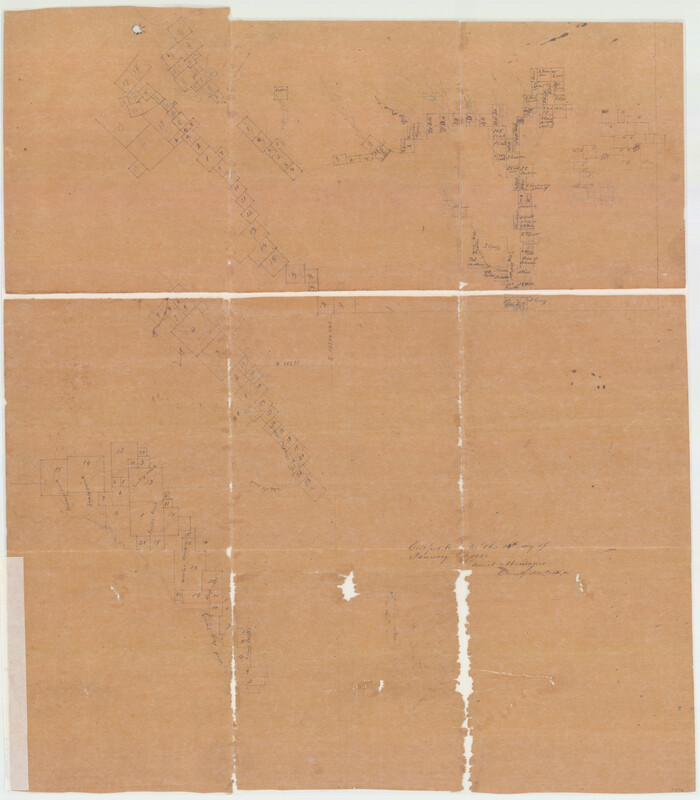
64638.tif
Print $40.00 - Digital $50.00

Map of the Recognised Line, M. El. P. & P. RR. from Texas & Arkansas State Line to Milam & Bexar Land District Line

Size: 15.3 x 89.4 inches
64638
Montague County Sketch File 16
10546, Montague County Sketch File 16, General Map Collection
Print $20.00 - Digital $50.00

Montague County Sketch File 16

1853

Size: 32.5 x 29.2 inches
10546
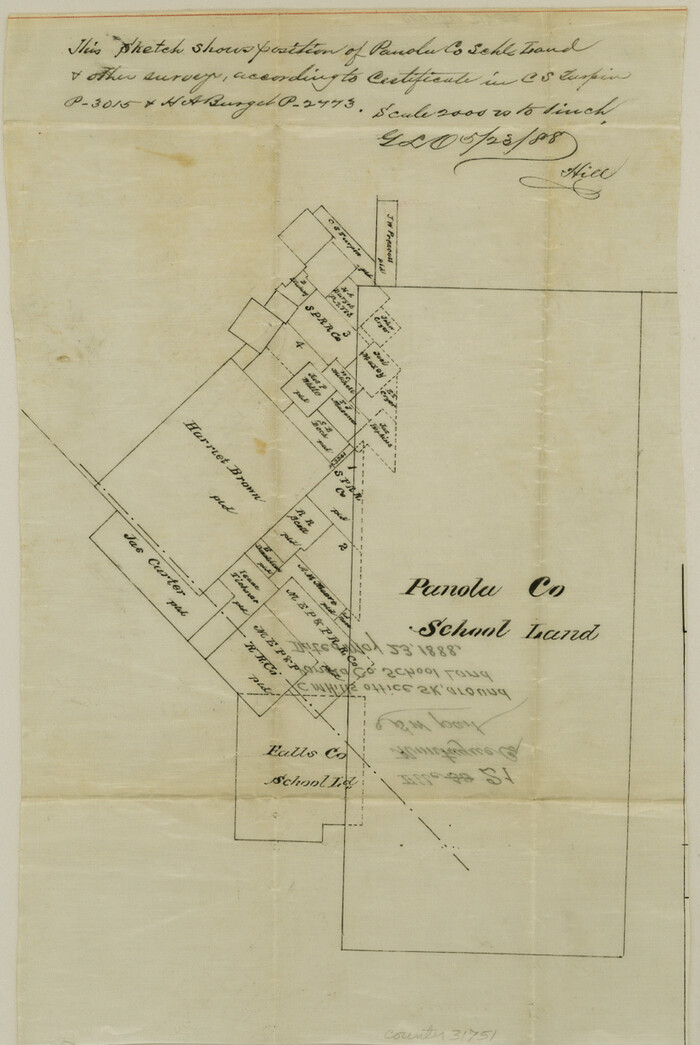
Montague County Sketch File 21
31751, Montague County Sketch File 21, General Map Collection
Print $4.00 - Digital $50.00

Montague County Sketch File 21

1888

Size: 12.4 x 8.3 inches
31751
Montague County Sketch File 8
31722, Montague County Sketch File 8, General Map Collection
Print $22.00 - Digital $50.00

Montague County Sketch File 8

Size: 8.1 x 3.7 inches
31722
Parker County Sketch File 48
12152, Parker County Sketch File 48, General Map Collection
Print $20.00 - Digital $50.00

Parker County Sketch File 48

1858

Size: 17.6 x 22.3 inches
12152
Tarrant County Sketch File 1
37672, Tarrant County Sketch File 1, General Map Collection
Print $4.00 - Digital $50.00

Tarrant County Sketch File 1

1851

Size: 10.2 x 7.9 inches
37672
Tarrant County Sketch File 10
37694, Tarrant County Sketch File 10, General Map Collection
Print $8.00 - Digital $50.00

Tarrant County Sketch File 10

1859

Size: 12.9 x 8.4 inches
37694
Alvord, Texas
89072, Alvord, Texas, Non-GLO Digital Images
Print $20.00

Alvord, Texas

1890

  • Size

    12.6 x 19.3 inches

  • Map/Doc

    89072

  • Creation Date

    1890

Alvord, Texas
93471, Alvord, Texas, Library of Congress
Print $20.00

Alvord, Texas

1890

  • Size

    14.4 x 22.8 inches

  • Map/Doc

    93471

  • Creation Date

    1890

Cooke County Sketch File 5
19226, Cooke County Sketch File 5, General Map Collection
Print $4.00 - Digital $50.00

Cooke County Sketch File 5

1857

  • Size

    12.7 x 8.2 inches

  • Map/Doc

    19226

  • Creation Date

    1857

Dallas/Fort Worth Street Map & Visitor Guide
94295, Dallas/Fort Worth Street Map & Visitor Guide, General Map Collection

Dallas/Fort Worth Street Map & Visitor Guide

2000

  • Size

    35.6 x 23.2 inches

  • Map/Doc

    94295

  • Creation Date

    2000

General Highway Map, Wise County, Texas
79284, General Highway Map, Wise County, Texas, Texas State Library and Archives
Print $20.00

General Highway Map, Wise County, Texas

1940

  • Size

    18.2 x 24.8 inches

  • Map/Doc

    79284

  • Creation Date

    1940

Jack County Sketch File 10a
27529, Jack County Sketch File 10a, General Map Collection
Print $4.00 - Digital $50.00

Jack County Sketch File 10a

1858

  • Size

    13.8 x 8.3 inches

  • Map/Doc

    27529

  • Creation Date

    1858

Jack County Sketch File 14 1/2
27543, Jack County Sketch File 14 1/2, General Map Collection
Print $4.00 - Digital $50.00

Jack County Sketch File 14 1/2

1876

  • Size

    8.5 x 12.7 inches

  • Map/Doc

    27543

  • Creation Date

    1876

Jack County Sketch File 16a
27551, Jack County Sketch File 16a, General Map Collection
Print $4.00 - Digital $50.00

Jack County Sketch File 16a

1885

  • Size

    8.3 x 11.8 inches

  • Map/Doc

    27551

  • Creation Date

    1885

Jack County Sketch File 5a
27510, Jack County Sketch File 5a, General Map Collection
Print $6.00 - Digital $50.00

Jack County Sketch File 5a

1856

  • Size

    8.6 x 9.8 inches

  • Map/Doc

    27510

  • Creation Date

    1856

Map Exhibiting the line of the Southern Trans-Continental R.R. from Marshall to Texarkana from Texarkana to Forth Worth
64241, Map Exhibiting the line of the Southern Trans-Continental R.R. from Marshall to Texarkana from Texarkana to Forth Worth, General Map Collection
Print $20.00 - Digital $50.00

Map Exhibiting the line of the Southern Trans-Continental R.R. from Marshall to Texarkana from Texarkana to Forth Worth

1872

  • Size

    24.6 x 47.8 inches

  • Map/Doc

    64241

  • Creation Date

    1872

Map of Chicago, Rock Island & Texas Railway through Montague and Wise Counties, Texas
64468, Map of Chicago, Rock Island & Texas Railway through Montague and Wise Counties, Texas, General Map Collection
Print $40.00 - Digital $50.00

Map of Chicago, Rock Island & Texas Railway through Montague and Wise Counties, Texas

1893

  • Size

    20.2 x 124.5 inches

  • Map/Doc

    64468

  • Creation Date

    1893

Map of Chicago, Rock Island & Texas Railway through Montague and Wise Counties, Texas
64469, Map of Chicago, Rock Island & Texas Railway through Montague and Wise Counties, Texas, General Map Collection
Print $20.00 - Digital $50.00

Map of Chicago, Rock Island & Texas Railway through Montague and Wise Counties, Texas

1893

  • Size

    19.0 x 47.6 inches

  • Map/Doc

    64469

  • Creation Date

    1893

Map of Chicago, Rock Island & Texas Railway through Wise and Tarrant County, Texas
64428, Map of Chicago, Rock Island & Texas Railway through Wise and Tarrant County, Texas, General Map Collection
Print $40.00 - Digital $50.00

Map of Chicago, Rock Island & Texas Railway through Wise and Tarrant County, Texas

1893

  • Size

    19.4 x 121.0 inches

  • Map/Doc

    64428

  • Creation Date

    1893

Map of Chicago, Rock Island & Texas Railway through Wise and Tarrant County, Texas
64429, Map of Chicago, Rock Island & Texas Railway through Wise and Tarrant County, Texas, General Map Collection
Print $20.00 - Digital $50.00

Map of Chicago, Rock Island & Texas Railway through Wise and Tarrant County, Texas

1893

  • Size

    19.6 x 43.7 inches

  • Map/Doc

    64429

  • Creation Date

    1893

Map of Cooke County
1973, Map of Cooke County, General Map Collection
Print $20.00 - Digital $50.00

Map of Cooke County

1857

  • Size

    34.1 x 37.9 inches

  • Map/Doc

    1973

  • Creation Date

    1857

Map of Dallas & Wichita Railroad Survey
64417, Map of Dallas & Wichita Railroad Survey, General Map Collection
Print $40.00 - Digital $50.00

Map of Dallas & Wichita Railroad Survey

1874

  • Size

    37.3 x 82.7 inches

  • Map/Doc

    64417

  • Creation Date

    1874

Map of Wise County
16932, Map of Wise County, General Map Collection
Print $20.00 - Digital $50.00

Map of Wise County

1895

  • Size

    41.8 x 37.2 inches

  • Map/Doc

    16932

  • Creation Date

    1895

Map of Wise County
4162, Map of Wise County, General Map Collection
Print $20.00 - Digital $50.00

Map of Wise County

1862

  • Size

    23.5 x 19.0 inches

  • Map/Doc

    4162

  • Creation Date

    1862

Map of Wise County
63133, Map of Wise County, General Map Collection
Print $20.00 - Digital $50.00

Map of Wise County

1895

  • Size

    41.7 x 37.5 inches

  • Map/Doc

    63133

  • Creation Date

    1895

Map of Wise County
63134, Map of Wise County, General Map Collection
Print $20.00 - Digital $50.00

Map of Wise County

1896

  • Size

    41.4 x 38.7 inches

  • Map/Doc

    63134

  • Creation Date

    1896

Map of Wise County Texas
4644, Map of Wise County Texas, General Map Collection
Print $20.00 - Digital $50.00

Map of Wise County Texas

1912

  • Size

    31.3 x 28.8 inches

  • Map/Doc

    4644

  • Creation Date

    1912

Map of the Fort Worth and Denver City Railway
64778, Map of the Fort Worth and Denver City Railway, General Map Collection
Print $40.00 - Digital $50.00

Map of the Fort Worth and Denver City Railway

1873

  • Size

    31.6 x 90.3 inches

  • Map/Doc

    64778

  • Creation Date

    1873

Map of the Lands Surveyed by the Memphis, El Paso & Pacific R.R. Company
4849, Map of the Lands Surveyed by the Memphis, El Paso & Pacific R.R. Company, General Map Collection
Print $20.00 - Digital $50.00

Map of the Lands Surveyed by the Memphis, El Paso & Pacific R.R. Company

1859

  • Size

    13.9 x 21.3 inches

  • Map/Doc

    4849

  • Creation Date

    1859

Map of the Recognised Line, M. El. P. & P. RR. from Texas & Arkansas State Line to Milam & Bexar Land District Line
64638, Map of the Recognised Line, M. El. P. & P. RR. from Texas & Arkansas State Line to Milam & Bexar Land District Line, General Map Collection
Print $40.00 - Digital $50.00

Map of the Recognised Line, M. El. P. & P. RR. from Texas & Arkansas State Line to Milam & Bexar Land District Line

  • Size

    15.3 x 89.4 inches

  • Map/Doc

    64638

Montague County Sketch File 16
10546, Montague County Sketch File 16, General Map Collection
Print $20.00 - Digital $50.00

Montague County Sketch File 16

1853

  • Size

    32.5 x 29.2 inches

  • Map/Doc

    10546

  • Creation Date

    1853

Montague County Sketch File 21
31751, Montague County Sketch File 21, General Map Collection
Print $4.00 - Digital $50.00

Montague County Sketch File 21

1888

  • Size

    12.4 x 8.3 inches

  • Map/Doc

    31751

  • Creation Date

    1888

Montague County Sketch File 8
31722, Montague County Sketch File 8, General Map Collection
Print $22.00 - Digital $50.00

Montague County Sketch File 8

  • Size

    8.1 x 3.7 inches

  • Map/Doc

    31722

Parker County Sketch File 48
12152, Parker County Sketch File 48, General Map Collection
Print $20.00 - Digital $50.00

Parker County Sketch File 48

1858

  • Size

    17.6 x 22.3 inches

  • Map/Doc

    12152

  • Creation Date

    1858

Tarrant County Sketch File 1
37672, Tarrant County Sketch File 1, General Map Collection
Print $4.00 - Digital $50.00

Tarrant County Sketch File 1

1851

  • Size

    10.2 x 7.9 inches

  • Map/Doc

    37672

  • Creation Date

    1851

Tarrant County Sketch File 10
37694, Tarrant County Sketch File 10, General Map Collection
Print $8.00 - Digital $50.00

Tarrant County Sketch File 10

1859

  • Size

    12.9 x 8.4 inches

  • Map/Doc

    37694

  • Creation Date

    1859