Aeroplane view of business district Amarillo, Texas
1912

City and Harbor of Port Arthur Texas, Bird's Eye View Looking South to the Gulf of Mexico
1912

Partial View of Austin, Texas
1895

Perspective Map of the City of Laredo, Texas, the Gateway to and from Mexico
1892

Dallas, Texas. With the Projected River and Navigation Improvements. Viewed from Above the Sister City of Oak Cliff
1892
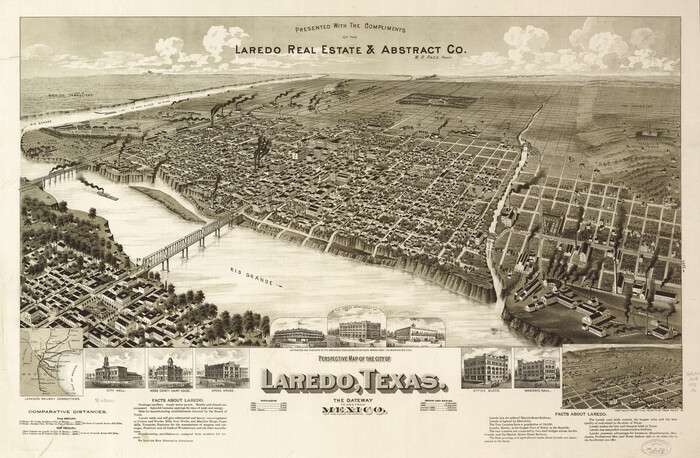
Perspective Map of the City of Laredo, Texas, the Gateway to and from Mexico
1892

Perspective Map of the City of Laredo
1892

Greenville, Hunt County, Texas
1891

Perspective Map of Fort Worth, Tex.
1891

Greenville, Hunt County Texas
1891

Houston, Texas (Looking South)
1891
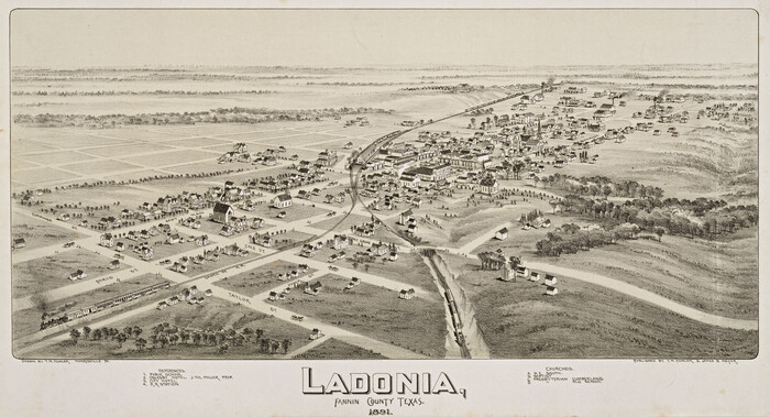
Ladonia, Fannin County, Texas
1891
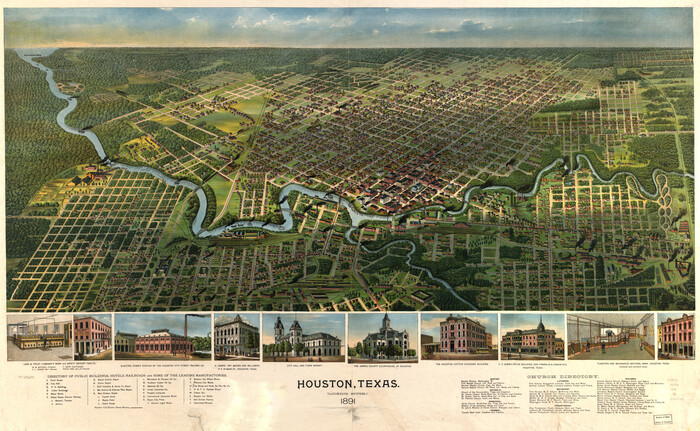
Houston, Texas (Looking South)
1891
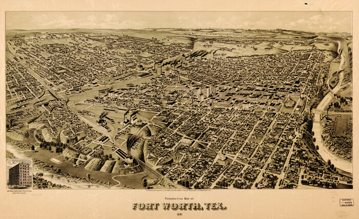
Perspective Map of Fort Worth, Tex.
1891
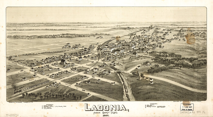
Ladonia, Fannin County, Texas
1891
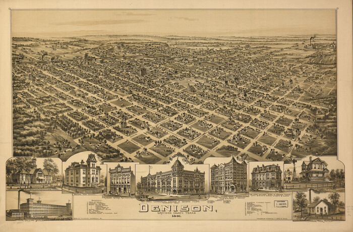
Denison, Grayson County, Texas, 1891
1891
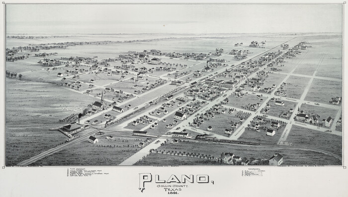
Plano, Collin County, Texas
1891

Denison, Grayson County, Texas
1891

Clarendon, Texas, Donley Co.
1890

Beaumont, Texas
1930
-
Size
10.3 x 32.7 inches
-
Map/Doc
96428
-
Creation Date
1930

Aeroplane view of business district Amarillo, Texas
1912
-
Size
18.9 x 21.4 inches
-
Map/Doc
93467
-
Creation Date
1912

City and Harbor of Port Arthur Texas, Bird's Eye View Looking South to the Gulf of Mexico
1912
-
Size
17.4 x 39.9 inches
-
Map/Doc
93483
-
Creation Date
1912
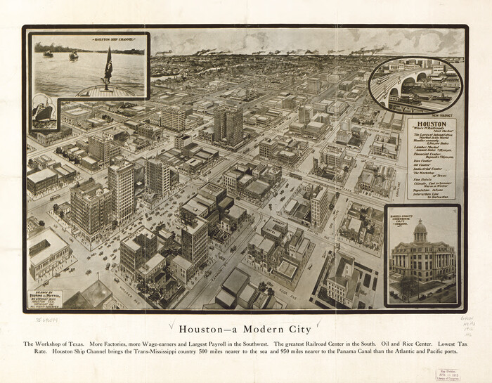
Houston - a Modern City
1912
-
Size
18.2 x 23.4 inches
-
Map/Doc
93482
-
Creation Date
1912

Partial View of Austin, Texas
1895
-
Size
28.4 x 41.8 inches
-
Map/Doc
76205
-
Creation Date
1895

Map of Hyde Park
1895
-
Size
41.7 x 28.8 inches
-
Map/Doc
76206
-
Creation Date
1895

Perspective Map of the City of Laredo, Texas, the Gateway to and from Mexico
1892
-
Size
22.1 x 34.2 inches
-
Map/Doc
89098
-
Creation Date
1892

Waco, Texas 1892
1892
-
Size
14.5 x 23.9 inches
-
Map/Doc
93469
-
Creation Date
1892

Dallas, Texas. With the Projected River and Navigation Improvements. Viewed from Above the Sister City of Oak Cliff
1892
-
Size
20.9 x 29.7 inches
-
Map/Doc
93474
-
Creation Date
1892

Perspective Map of the City of Laredo, Texas, the Gateway to and from Mexico
1892
-
Size
24.0 x 36.7 inches
-
Map/Doc
93478
-
Creation Date
1892

Perspective Map of the City of Laredo
1892
-
Size
24.2 x 36.3 inches
-
Map/Doc
97096
-
Creation Date
1892

Greenville, Hunt County, Texas
1891
-
Size
21.9 x 36.5 inches
-
Map/Doc
79749
-
Creation Date
1891

Perspective Map of Fort Worth, Tex.
1891
-
Size
19.9 x 33.0 inches
-
Map/Doc
89083
-
Creation Date
1891

Greenville, Hunt County Texas
1891
-
Size
16.4 x 30.0 inches
-
Map/Doc
89090
-
Creation Date
1891
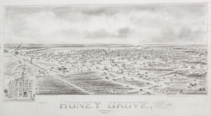
Honey Grove, Texas
1891
-
Size
13.7 x 24.8 inches
-
Map/Doc
89092
-
Creation Date
1891

Houston, Texas (Looking South)
1891
-
Size
25.3 x 41.1 inches
-
Map/Doc
89094
-
Creation Date
1891

Ladonia, Fannin County, Texas
1891
-
Size
12.0 x 22.1 inches
-
Map/Doc
89097
-
Creation Date
1891

Whitewright, Texas
1891
-
Size
14.3 x 24.3 inches
-
Map/Doc
89213
-
Creation Date
1891
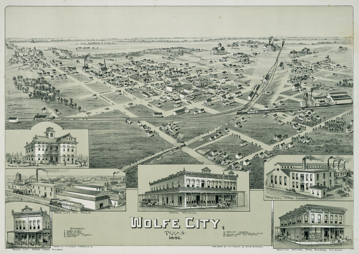
Wolfe City, Texas
1891
-
Size
14.5 x 20.5 inches
-
Map/Doc
89215
-
Creation Date
1891

Houston, Texas (Looking South)
1891
-
Size
41.1 x 25.3 inches
-
Map/Doc
93465
-
Creation Date
1891

Perspective Map of Fort Worth, Tex.
1891
-
Size
22.2 x 36.3 inches
-
Map/Doc
93472
-
Creation Date
1891

Ladonia, Fannin County, Texas
1891
-
Size
12.3 x 22.3 inches
-
Map/Doc
93475
-
Creation Date
1891
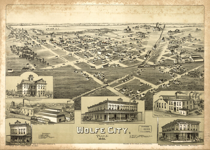
Wolfe City, Texas
1891
-
Size
16.3 x 22.9 inches
-
Map/Doc
93477
-
Creation Date
1891

Denison, Grayson County, Texas, 1891
1891
-
Size
23.9 x 36.4 inches
-
Map/Doc
93480
-
Creation Date
1891

Plano, Collin County, Texas
1891
-
Size
12.8 x 22.6 inches
-
Map/Doc
93758
-
Creation Date
1891

Denison, Grayson County, Texas
1891
-
Size
23.7 x 35.7 inches
-
Map/Doc
97032
-
Creation Date
1891

Alvord, Texas
1890
-
Size
12.6 x 19.3 inches
-
Map/Doc
89072
-
Creation Date
1890
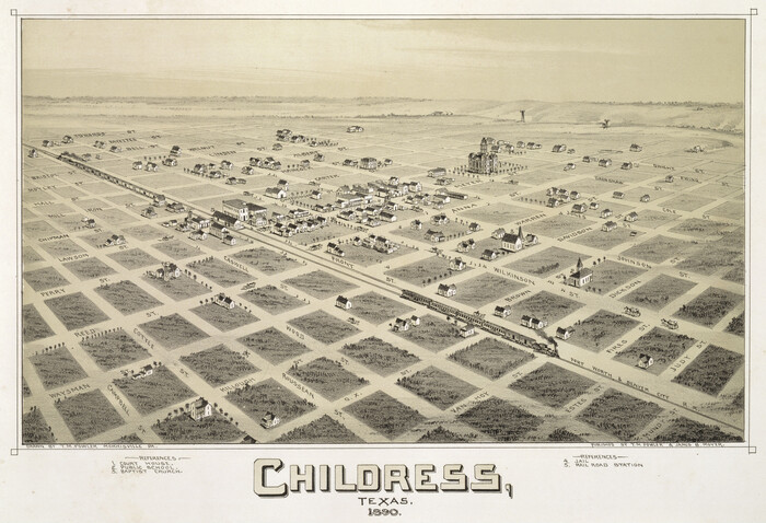
Childress, Texas
1890
-
Size
12.3 x 17.9 inches
-
Map/Doc
89077
-
Creation Date
1890

Clarendon, Texas, Donley Co.
1890
-
Size
15.7 x 26.6 inches
-
Map/Doc
89078
-
Creation Date
1890
