A New, Plaine, and Exact map of America : described by N.I. Visscher, and don into English, enlarged, and corrected, according to I. Blaeu, with the habits of the countries, and the manner of the cheife Citties, the like never before


Print $20.00
- Digital $50.00
A New, Plaine, and Exact map of America : described by N.I. Visscher, and don into English, enlarged, and corrected, according to I. Blaeu, with the habits of the countries, and the manner of the cheife Citties, the like never before
1658
Size: 16.4 x 20.9 inches
96787
Carte Nouvelle de la Mer du Sud


Print $20.00
- Digital $50.00
Carte Nouvelle de la Mer du Sud
1730
Size: 25.8 x 39.6 inches
93824
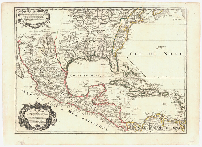
Carte du Mexique et de la Floride des Terres Angloises et des Isles Antilles du Cours et des Environs de la Riviere Mississipi

Print $20.00
- Digital $50.00
Carte du Mexique et de la Floride des Terres Angloises et des Isles Antilles du Cours et des Environs de la Riviere Mississipi
1703
Size: 21.8 x 30.0 inches
94852
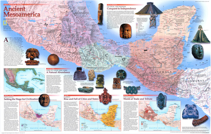
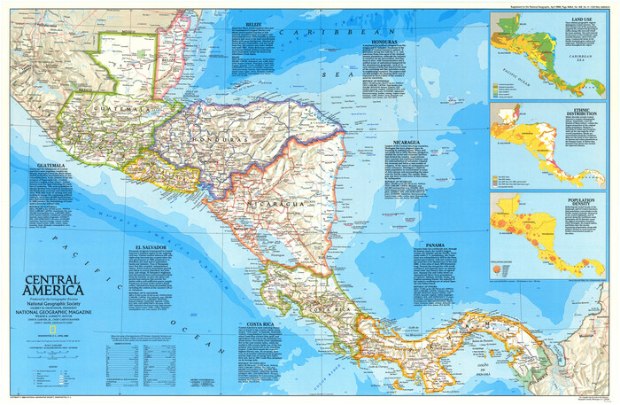
Central America Past and Present


Central America Past and Present
1986
Size: 20.6 x 31.6 inches
96839
Colonization and Trade in the New World
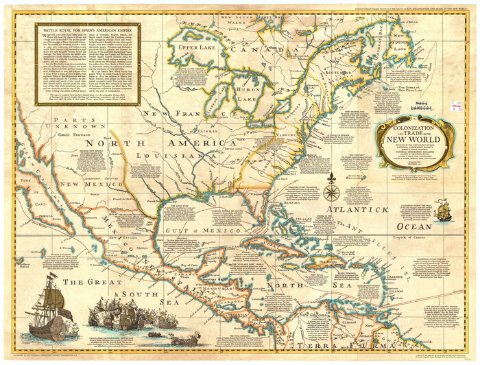

Colonization and Trade in the New World
1977
Size: 23.1 x 30.3 inches
96835
Descripçion de las Yndias del Norte


Print $20.00
- Digital $50.00
Descripçion de las Yndias del Norte
1601
Size: 11.4 x 13.9 inches
94850
Index to the following sixteen sheets, being a compleat chart of the West Indies with letters in the margin to direct the placing of the different sheets in their proper places
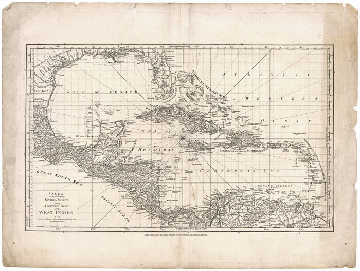

Print $20.00
- Digital $50.00
Index to the following sixteen sheets, being a compleat chart of the West Indies with letters in the margin to direct the placing of the different sheets in their proper places
1792
Size: 21.5 x 28.6 inches
96440
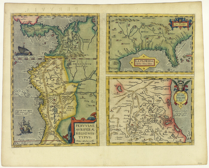
La Florida / Peruviae Avriferæ Regionis Typus / Guastecan

Print $20.00
- Digital $50.00
La Florida / Peruviae Avriferæ Regionis Typus / Guastecan
1584
Size: 16.8 x 20.9 inches
94100
Land of the Maya, a Traveler's Map
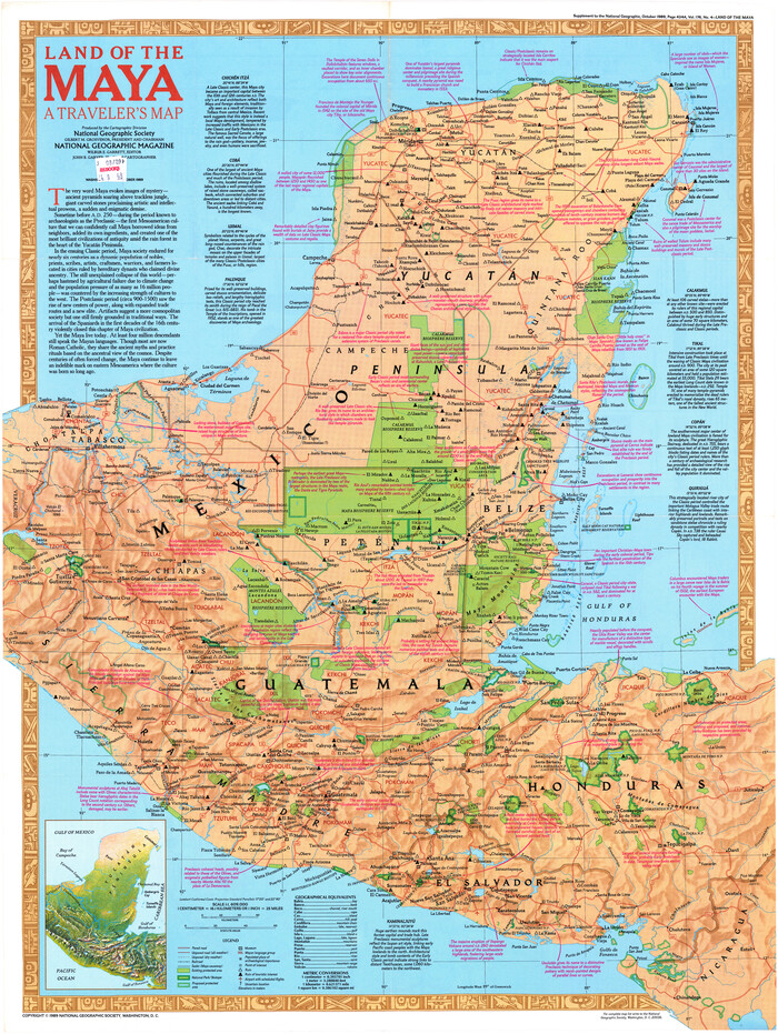

Land of the Maya, a Traveler's Map
Size: 27.2 x 20.5 inches
95933
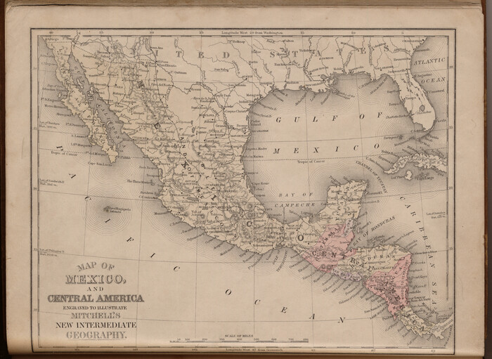
Map of Mexico and Central America engraved to illustrate Mitchell's new intermediate geography

Print $20.00
- Digital $50.00
Map of Mexico and Central America engraved to illustrate Mitchell's new intermediate geography
1885
Size: 9.0 x 12.2 inches
93523
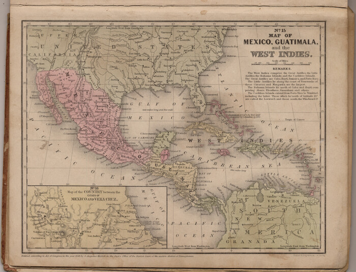
Map of Mexico, Guatimala and the West Indies (Inset: Map of the Country between the cities of Mexico and Vera Cruz)

Print $20.00
- Digital $50.00
Map of Mexico, Guatimala and the West Indies (Inset: Map of the Country between the cities of Mexico and Vera Cruz)
1849
Size: 9.5 x 11.8 inches
93500
Map of North America engraved to illustrate Mitchell's school and family geography


Print $20.00
- Digital $50.00
Map of North America engraved to illustrate Mitchell's school and family geography
1839
Size: 11.8 x 9.5 inches
93493
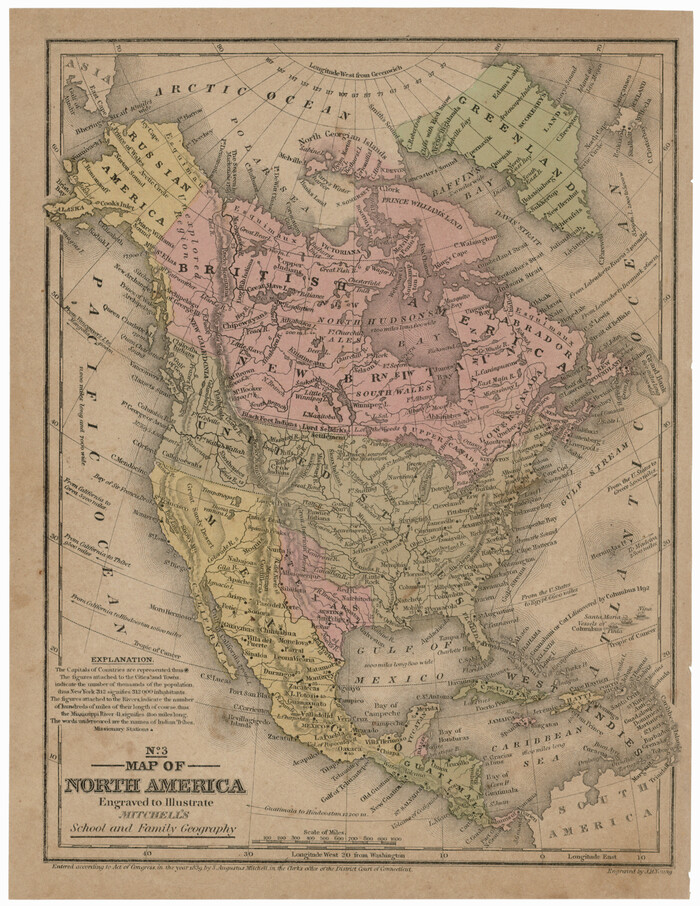
Map of North America engraved to illustrate Mitchell's school and family geography

Print $20.00
Map of North America engraved to illustrate Mitchell's school and family geography
1839
Size: 11.3 x 8.7 inches
93552
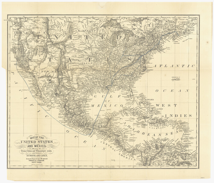
Map of the United States and Mexico showing the Trans-Union and Tehuantepec route between Europe and Asia

Print $20.00
- Digital $50.00
Map of the United States and Mexico showing the Trans-Union and Tehuantepec route between Europe and Asia
1851
Size: 20.3 x 23.7 inches
94851
Map of the United States with its territories: also Mexico and the West Indies


Print $20.00
- Digital $50.00
Map of the United States with its territories: also Mexico and the West Indies
1851
Size: 40.1 x 36.7 inches
93925
Map of the United States, the British Provinces, Mexico &c. Showing the Routes of the U.S. Mail Steam Packets to California and a Plan of the Gold Region


Print $20.00
- Digital $50.00
Map of the United States, the British Provinces, Mexico &c. Showing the Routes of the U.S. Mail Steam Packets to California and a Plan of the Gold Region
1849
Size: 19.6 x 26.6 inches
95695
Mappa Geographica Complectens I. Indiae Occidentalis Partem Mediam Circum Isthmum Panamensem; II. Ipsumque Isthmum; III. Ichnographiam praecipuorum locorum & portuum ad has terras pertinentium


Print $20.00
- Digital $50.00
Mappa Geographica Complectens I. Indiae Occidentalis Partem Mediam Circum Isthmum Panamensem; II. Ipsumque Isthmum; III. Ichnographiam praecipuorum locorum & portuum ad has terras pertinentium
1740
Size: 24.6 x 22.6 inches
93693
Mappa Geographica Regionem Mexicanam et Floridam, Terrasque adjacentes, ut et Anteriores Americae Insulas, Curfus itidem et Reditus Navigantuim verfus flumen Missisipi et alias Colonias ob oculos ponens, cura et fumptibus


Print $20.00
Mappa Geographica Regionem Mexicanam et Floridam, Terrasque adjacentes, ut et Anteriores Americae Insulas, Curfus itidem et Reditus Navigantuim verfus flumen Missisipi et alias Colonias ob oculos ponens, cura et fumptibus
1725
Size: 20.0 x 24.0 inches
76196
Mexico and Guatemala
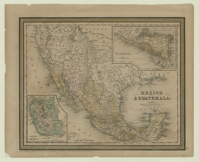

Print $20.00
- Digital $50.00
Mexico and Guatemala
1850
Size: 14.6 x 17.9 inches
93652
Mexico and Guatimala
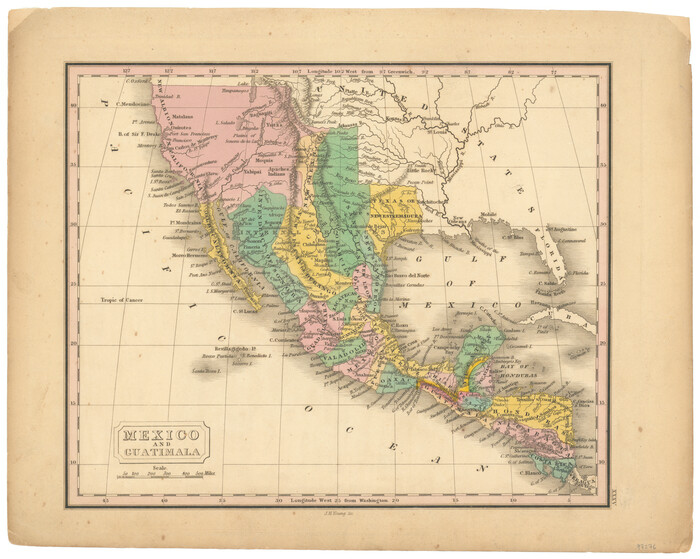

Print $20.00
- Digital $50.00
Mexico and Guatimala
1828
Size: 9.9 x 12.4 inches
97276
Mexico and Guatimala
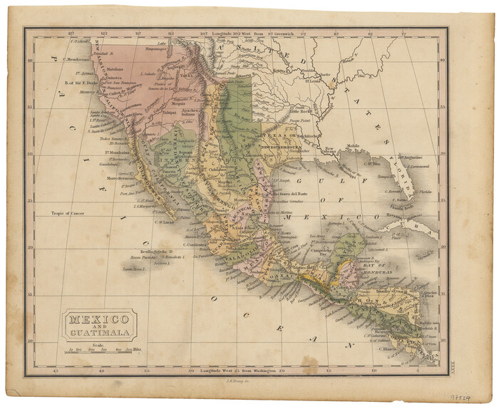

Print $20.00
- Digital $50.00
Mexico and Guatimala
1828
Size: 9.4 x 11.4 inches
97524
Mexico und Centro-America
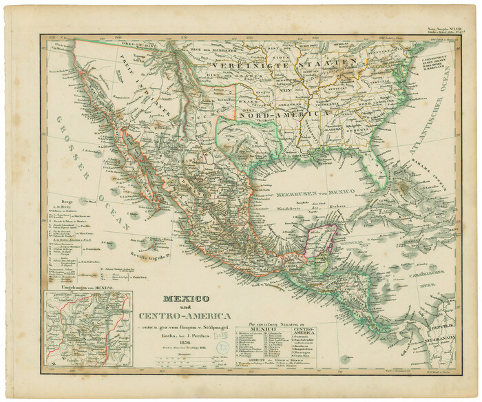

Print $20.00
Mexico und Centro-America
1841
Size: 14.1 x 17.1 inches
79732
A New, Plaine, and Exact map of America : described by N.I. Visscher, and don into English, enlarged, and corrected, according to I. Blaeu, with the habits of the countries, and the manner of the cheife Citties, the like never before


Print $20.00
- Digital $50.00
A New, Plaine, and Exact map of America : described by N.I. Visscher, and don into English, enlarged, and corrected, according to I. Blaeu, with the habits of the countries, and the manner of the cheife Citties, the like never before
1658
-
Size
16.4 x 20.9 inches
-
Map/Doc
96787
-
Creation Date
1658
Carte Nouvelle de la Mer du Sud


Print $20.00
- Digital $50.00
Carte Nouvelle de la Mer du Sud
1730
-
Size
25.8 x 39.6 inches
-
Map/Doc
93824
-
Creation Date
1730
Carte du Mexique et de la Floride des Terres Angloises et des Isles Antilles du Cours et des Environs de la Riviere Mississipi


Print $20.00
- Digital $50.00
Carte du Mexique et de la Floride des Terres Angloises et des Isles Antilles du Cours et des Environs de la Riviere Mississipi
1703
-
Size
21.8 x 30.0 inches
-
Map/Doc
94852
-
Creation Date
1703
Central America Past and Present


Central America Past and Present
1986
-
Size
20.6 x 31.6 inches
-
Map/Doc
96839
-
Creation Date
1986
Colonization and Trade in the New World


Colonization and Trade in the New World
1977
-
Size
23.1 x 30.3 inches
-
Map/Doc
96835
-
Creation Date
1977
Descripçion de las Yndias del Norte


Print $20.00
- Digital $50.00
Descripçion de las Yndias del Norte
1601
-
Size
11.4 x 13.9 inches
-
Map/Doc
94850
-
Creation Date
1601
Index to the following sixteen sheets, being a compleat chart of the West Indies with letters in the margin to direct the placing of the different sheets in their proper places


Print $20.00
- Digital $50.00
Index to the following sixteen sheets, being a compleat chart of the West Indies with letters in the margin to direct the placing of the different sheets in their proper places
1792
-
Size
21.5 x 28.6 inches
-
Map/Doc
96440
-
Creation Date
1792
La Florida / Peruviae Avriferæ Regionis Typus / Guastecan


Print $20.00
- Digital $50.00
La Florida / Peruviae Avriferæ Regionis Typus / Guastecan
1584
-
Size
16.8 x 20.9 inches
-
Map/Doc
94100
-
Creation Date
1584
Land of the Maya, a Traveler's Map


Land of the Maya, a Traveler's Map
-
Size
27.2 x 20.5 inches
-
Map/Doc
95933
Map of Mexico and Central America engraved to illustrate Mitchell's new intermediate geography


Print $20.00
- Digital $50.00
Map of Mexico and Central America engraved to illustrate Mitchell's new intermediate geography
1885
-
Size
9.0 x 12.2 inches
-
Map/Doc
93523
-
Creation Date
1885
Map of Mexico, Guatimala and the West Indies (Inset: Map of the Country between the cities of Mexico and Vera Cruz)


Print $20.00
- Digital $50.00
Map of Mexico, Guatimala and the West Indies (Inset: Map of the Country between the cities of Mexico and Vera Cruz)
1849
-
Size
9.5 x 11.8 inches
-
Map/Doc
93500
-
Creation Date
1849
Map of North America engraved to illustrate Mitchell's school and family geography


Print $20.00
- Digital $50.00
Map of North America engraved to illustrate Mitchell's school and family geography
1839
-
Size
11.8 x 9.5 inches
-
Map/Doc
93493
-
Creation Date
1839
Map of North America engraved to illustrate Mitchell's school and family geography


Print $20.00
Map of North America engraved to illustrate Mitchell's school and family geography
1839
-
Size
11.3 x 8.7 inches
-
Map/Doc
93552
-
Creation Date
1839
Map of the United States and Mexico showing the Trans-Union and Tehuantepec route between Europe and Asia


Print $20.00
- Digital $50.00
Map of the United States and Mexico showing the Trans-Union and Tehuantepec route between Europe and Asia
1851
-
Size
20.3 x 23.7 inches
-
Map/Doc
94851
-
Creation Date
1851
Map of the United States with its territories: also Mexico and the West Indies


Print $20.00
- Digital $50.00
Map of the United States with its territories: also Mexico and the West Indies
1851
-
Size
40.1 x 36.7 inches
-
Map/Doc
93925
-
Creation Date
1851
Map of the United States, the British Provinces, Mexico &c. Showing the Routes of the U.S. Mail Steam Packets to California and a Plan of the Gold Region


Print $20.00
- Digital $50.00
Map of the United States, the British Provinces, Mexico &c. Showing the Routes of the U.S. Mail Steam Packets to California and a Plan of the Gold Region
1849
-
Size
19.6 x 26.6 inches
-
Map/Doc
95695
-
Creation Date
1849
Mappa Geographica Complectens I. Indiae Occidentalis Partem Mediam Circum Isthmum Panamensem; II. Ipsumque Isthmum; III. Ichnographiam praecipuorum locorum & portuum ad has terras pertinentium


Print $20.00
- Digital $50.00
Mappa Geographica Complectens I. Indiae Occidentalis Partem Mediam Circum Isthmum Panamensem; II. Ipsumque Isthmum; III. Ichnographiam praecipuorum locorum & portuum ad has terras pertinentium
1740
-
Size
24.6 x 22.6 inches
-
Map/Doc
93693
-
Creation Date
1740
Mappa Geographica Regionem Mexicanam et Floridam, Terrasque adjacentes, ut et Anteriores Americae Insulas, Curfus itidem et Reditus Navigantuim verfus flumen Missisipi et alias Colonias ob oculos ponens, cura et fumptibus


Print $20.00
Mappa Geographica Regionem Mexicanam et Floridam, Terrasque adjacentes, ut et Anteriores Americae Insulas, Curfus itidem et Reditus Navigantuim verfus flumen Missisipi et alias Colonias ob oculos ponens, cura et fumptibus
1725
-
Size
20.0 x 24.0 inches
-
Map/Doc
76196
-
Creation Date
1725
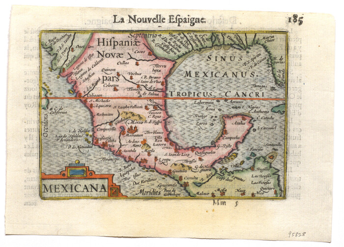
Mexicana

Print $2.00
- Digital $50.00
Mexicana
1600
-
Size
4.6 x 6.5 inches
-
Map/Doc
95828
-
Creation Date
1600
Mexico and Central America
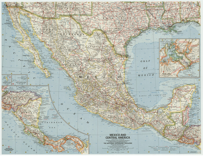

Mexico and Central America
1961
-
Size
25.5 x 19.3 inches
-
Map/Doc
92363
-
Creation Date
1961
Mexico and Central America
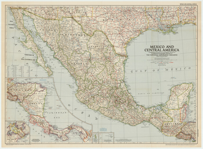

Mexico and Central America
1953
-
Size
37.8 x 28.1 inches
-
Map/Doc
92391
-
Creation Date
1953
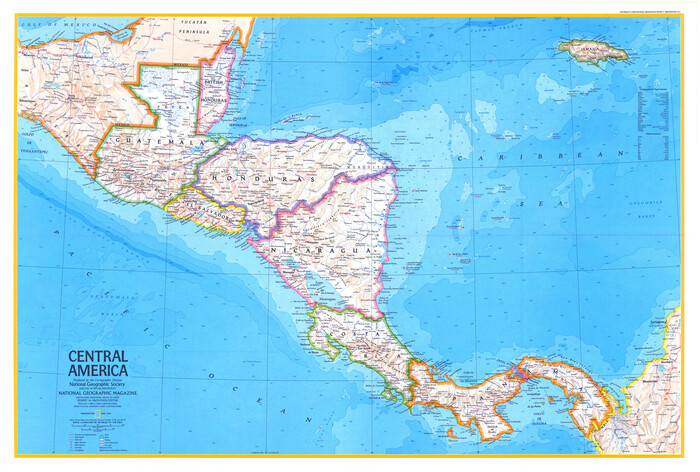
Mexico and Central America


Mexico and Central America
1980
-
Size
20.1 x 25.8 inches
-
Map/Doc
96834
-
Creation Date
1980
Mexico and Guatemala


Print $20.00
- Digital $50.00
Mexico and Guatemala
1850
-
Size
14.6 x 17.9 inches
-
Map/Doc
93652
-
Creation Date
1850
Mexico and Guatimala


Print $20.00
- Digital $50.00
Mexico and Guatimala
1828
-
Size
9.9 x 12.4 inches
-
Map/Doc
97276
-
Creation Date
1828
Mexico and Guatimala


Print $20.00
- Digital $50.00
Mexico and Guatimala
1828
-
Size
9.4 x 11.4 inches
-
Map/Doc
97524
-
Creation Date
1828
Mexico und Centro-America


Print $20.00
Mexico und Centro-America
1841
-
Size
14.1 x 17.1 inches
-
Map/Doc
79732
-
Creation Date
1841
