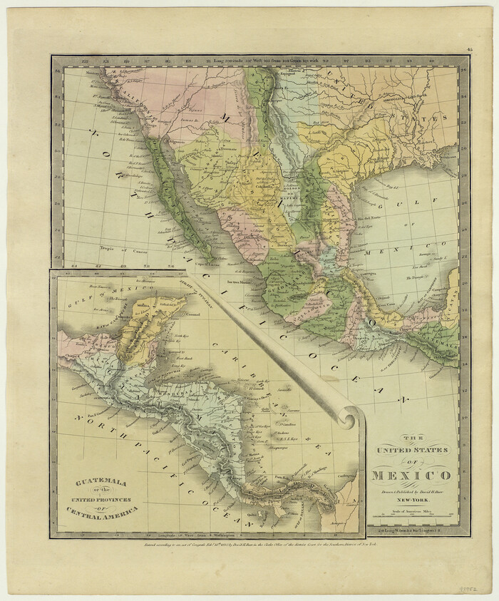
The United States of Mexico
1832

The Dividing Link - Mexico & Central America

The Dawn of Humans Peopling of the Americas
2000

The Continent and Islands of the West Indies
1804

The Coast of New Spain from Neuva Vera Cruz to Triste Island
1775

Qvarte Partie Dv Monde
1575

Nuevo Mapa Geographico de la America Septentrional, Perteneciente al Virreynato de Mexico
1768
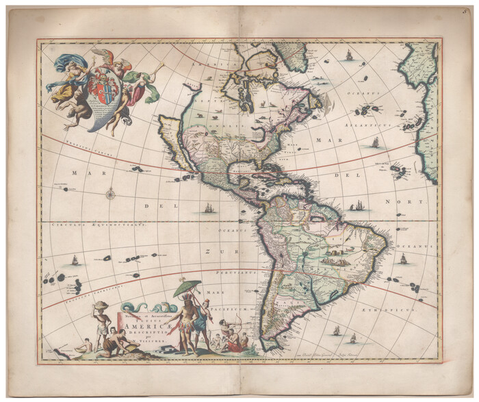
Novissima et Accuratissima Totius Americae Descriptio
1677

Nova et Acurata Totius Americae Tabula
1608

Nova Totivs Americae Descriptio
1666

New Map of that portion of North America, exhibiting the United States and Territories, the Canadas, New Brunswick, Nova Scotia and Mexico, also Central America and the West India Islands compiled from the most recent surveys and authentic sources
1854

Mexicque, ou Nouvelle Espagne, Nouvelle Gallice, Iucatan & c. et autres Provinces jusques a L'Isthme de Panama; ou font les Audiences de Mexico, de Guadalaiara, et de Guatimala
1656
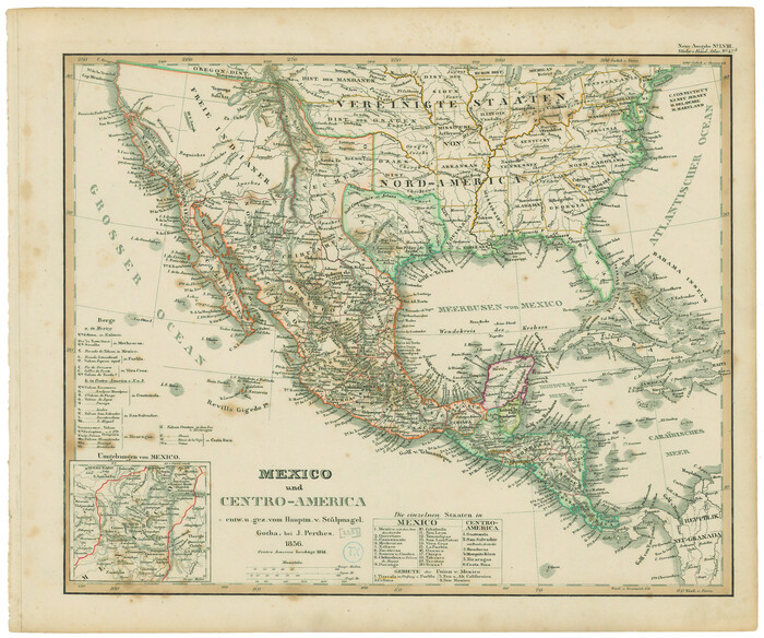
Mexico und Centro-America
1841
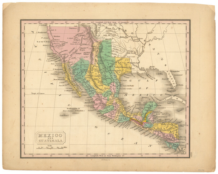
Mexico and Guatimala
1828
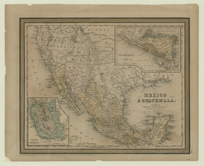
Mexico and Guatemala
1850

Mappa Geographica Regionem Mexicanam et Floridam, Terrasque adjacentes, ut et Anteriores Americae Insulas, Curfus itidem et Reditus Navigantuim verfus flumen Missisipi et alias Colonias ob oculos ponens, cura et fumptibus
1725

Mappa Geographica Complectens I. Indiae Occidentalis Partem Mediam Circum Isthmum Panamensem; II. Ipsumque Isthmum; III. Ichnographiam praecipuorum locorum & portuum ad has terras pertinentium
1740

Map of the United States, the British Provinces, Mexico &c. Showing the Routes of the U.S. Mail Steam Packets to California and a Plan of the Gold Region
1849

Map of the United States with its territories: also Mexico and the West Indies
1851
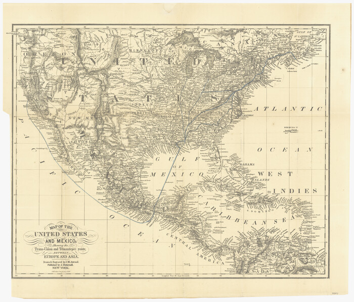
Map of the United States and Mexico showing the Trans-Union and Tehuantepec route between Europe and Asia
1851

Map of North America engraved to illustrate Mitchell's school and family geography
1839
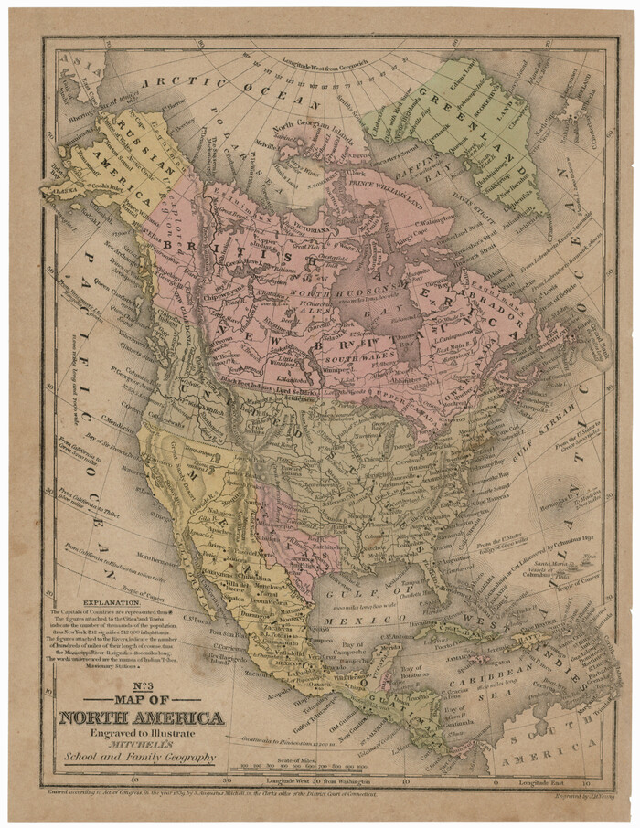
Map of North America engraved to illustrate Mitchell's school and family geography
1839
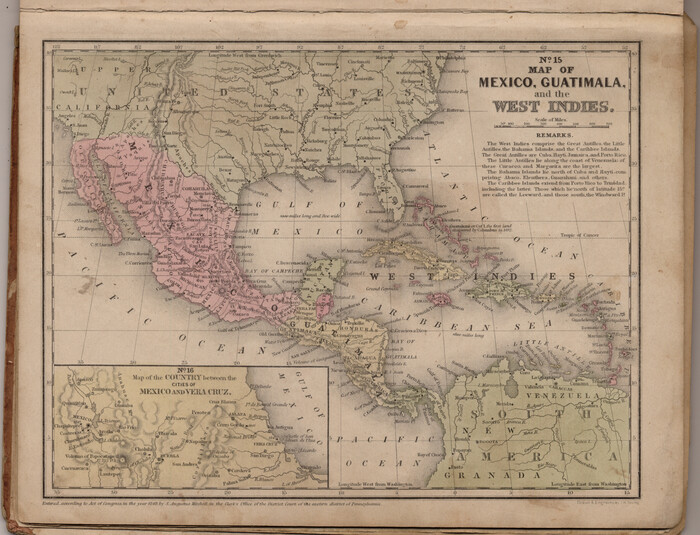
Map of Mexico, Guatimala and the West Indies (Inset: Map of the Country between the cities of Mexico and Vera Cruz)
1849
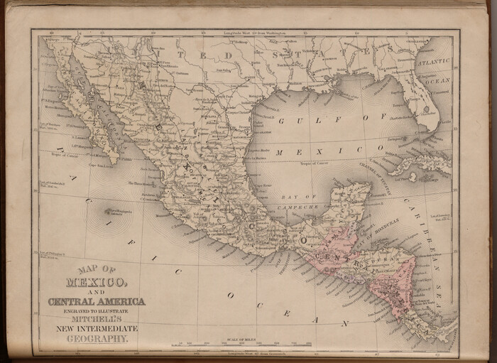
Map of Mexico and Central America engraved to illustrate Mitchell's new intermediate geography
1885

The United States of Mexico
1832
-
Size
15.4 x 12.8 inches
-
Map/Doc
93952
-
Creation Date
1832

The Dividing Link - Mexico & Central America
-
Size
20.5 x 31.2 inches
-
Map/Doc
95941

The Dawn of Humans Peopling of the Americas
2000
-
Size
31.3 x 20.5 inches
-
Map/Doc
96841
-
Creation Date
2000

The Continent and Islands of the West Indies
1804
-
Size
22.8 x 26.0 inches
-
Map/Doc
79318
-
Creation Date
1804

The Coast of New Spain from Neuva Vera Cruz to Triste Island
1775
-
Size
21.0 x 28.9 inches
-
Map/Doc
95919
-
Creation Date
1775

Qvarte Partie Dv Monde
1575
-
Size
15.3 x 18.9 inches
-
Map/Doc
93806
-
Creation Date
1575

Nuevo Mapa Geographico de la America Septentrional, Perteneciente al Virreynato de Mexico
1768
-
Size
23.1 x 30.3 inches
-
Map/Doc
93835
-
Creation Date
1768

Novissima et Accuratissima Totius Americae Descriptio
1677
-
Size
20.9 x 25.0 inches
-
Map/Doc
93819
-
Creation Date
1677

Nova et Acurata Totius Americae Tabula
1608
This map is an anonymous version of Blaeu's map of 1608 published in Venice in 1646.
-
Size
40.8 x 56.5 inches
-
Map/Doc
97019
-
Creation Date
1608

Nova Totivs Americae Descriptio
1666
-
Size
21.2 x 24.3 inches
-
Map/Doc
93818
-
Creation Date
1666

New Map of that portion of North America, exhibiting the United States and Territories, the Canadas, New Brunswick, Nova Scotia and Mexico, also Central America and the West India Islands compiled from the most recent surveys and authentic sources
1854
-
Size
59.4 x 63.0 inches
-
Map/Doc
93968
-
Creation Date
1854

Mexicque, ou Nouvelle Espagne, Nouvelle Gallice, Iucatan & c. et autres Provinces jusques a L'Isthme de Panama; ou font les Audiences de Mexico, de Guadalaiara, et de Guatimala
1656
-
Size
15.7 x 22.3 inches
-
Map/Doc
95831
-
Creation Date
1656

Mexico und Centro-America
1841
-
Size
14.1 x 17.1 inches
-
Map/Doc
79732
-
Creation Date
1841

Mexico and Guatimala
1828
-
Size
9.9 x 12.4 inches
-
Map/Doc
97276
-
Creation Date
1828

Mexico and Guatemala
1850
-
Size
14.6 x 17.9 inches
-
Map/Doc
93652
-
Creation Date
1850
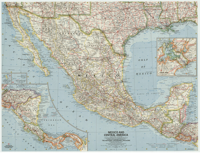
Mexico and Central America
1961
-
Size
25.5 x 19.3 inches
-
Map/Doc
92363
-
Creation Date
1961
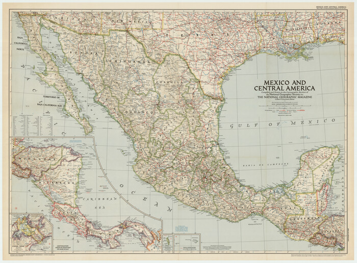
Mexico and Central America
1953
-
Size
37.8 x 28.1 inches
-
Map/Doc
92391
-
Creation Date
1953

Mexico and Central America
1980
-
Size
20.1 x 25.8 inches
-
Map/Doc
96834
-
Creation Date
1980
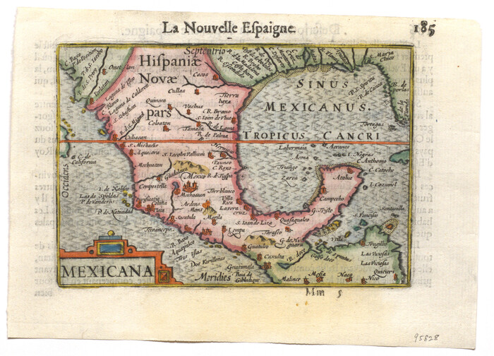
Mexicana
1600
-
Size
4.6 x 6.5 inches
-
Map/Doc
95828
-
Creation Date
1600

Mappa Geographica Regionem Mexicanam et Floridam, Terrasque adjacentes, ut et Anteriores Americae Insulas, Curfus itidem et Reditus Navigantuim verfus flumen Missisipi et alias Colonias ob oculos ponens, cura et fumptibus
1725
-
Size
20.0 x 24.0 inches
-
Map/Doc
76196
-
Creation Date
1725

Mappa Geographica Complectens I. Indiae Occidentalis Partem Mediam Circum Isthmum Panamensem; II. Ipsumque Isthmum; III. Ichnographiam praecipuorum locorum & portuum ad has terras pertinentium
1740
-
Size
24.6 x 22.6 inches
-
Map/Doc
93693
-
Creation Date
1740

Map of the United States, the British Provinces, Mexico &c. Showing the Routes of the U.S. Mail Steam Packets to California and a Plan of the Gold Region
1849
-
Size
19.6 x 26.6 inches
-
Map/Doc
95695
-
Creation Date
1849

Map of the United States with its territories: also Mexico and the West Indies
1851
-
Size
40.1 x 36.7 inches
-
Map/Doc
93925
-
Creation Date
1851

Map of the United States and Mexico showing the Trans-Union and Tehuantepec route between Europe and Asia
1851
-
Size
20.3 x 23.7 inches
-
Map/Doc
94851
-
Creation Date
1851

Map of North America engraved to illustrate Mitchell's school and family geography
1839
-
Size
11.8 x 9.5 inches
-
Map/Doc
93493
-
Creation Date
1839

Map of North America engraved to illustrate Mitchell's school and family geography
1839
-
Size
11.3 x 8.7 inches
-
Map/Doc
93552
-
Creation Date
1839

Map of Mexico, Guatimala and the West Indies (Inset: Map of the Country between the cities of Mexico and Vera Cruz)
1849
-
Size
9.5 x 11.8 inches
-
Map/Doc
93500
-
Creation Date
1849

Map of Mexico and Central America engraved to illustrate Mitchell's new intermediate geography
1885
-
Size
9.0 x 12.2 inches
-
Map/Doc
93523
-
Creation Date
1885

