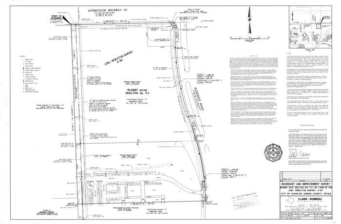
Harris County State Real Property Sketch 6
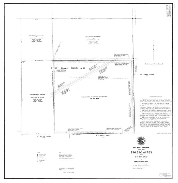
Harris County State Real Property Sketch 1
1985
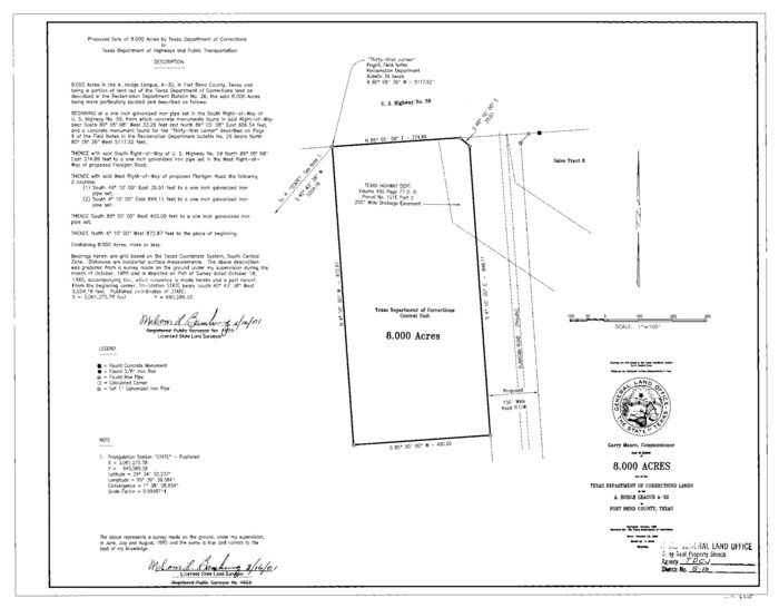
Fort Bend County State Real Property Sketch 17
1985
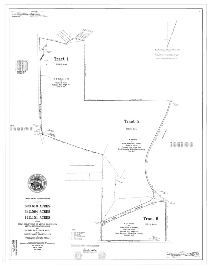
Williamson County State Real Property Sketch 1
1985

Travis County State Real Property Sketch 3
1985

Fort Bend County State Real Property Sketch 10
1985
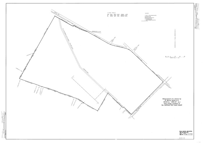
Travis County State Real Property Sketch 7
1985
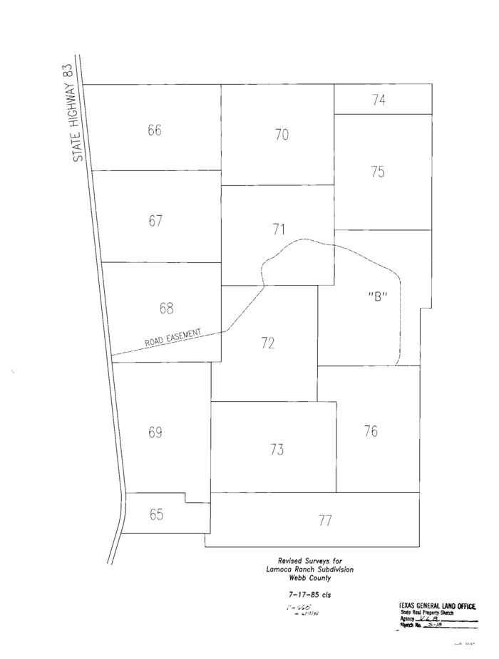
Webb County State Real Property Sketch 1
1985

Fort Bend County State Real Property Sketch 7
1985
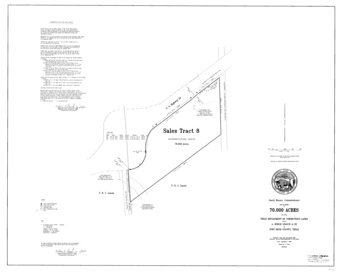
Fort Bend County State Real Property Sketch 15
1985
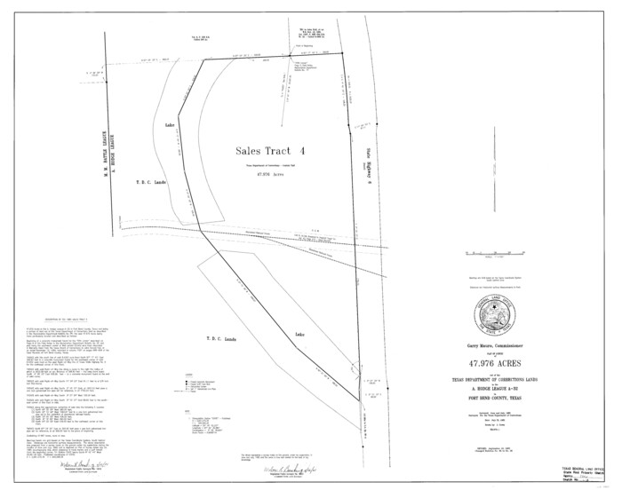
Fort Bend County State Real Property Sketch 8
1985
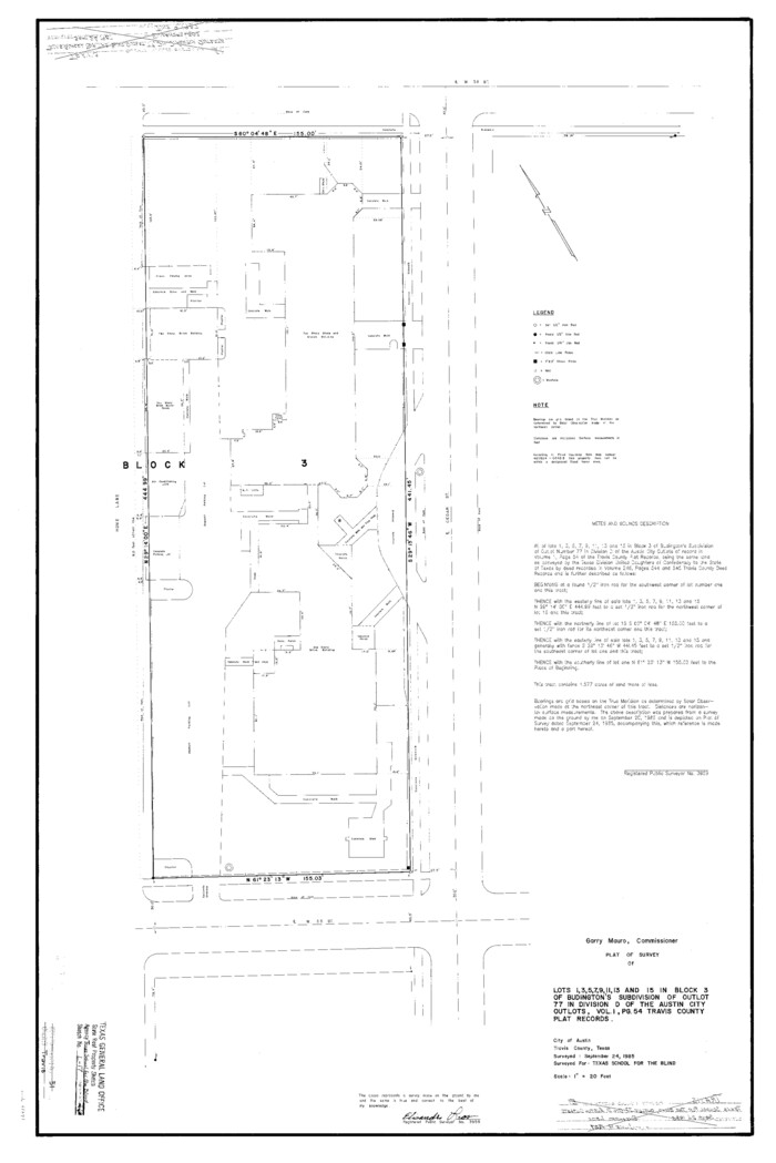
Travis County State Real Property Sketch 1
1985

Fort Bend County State Real Property Sketch 14
1985
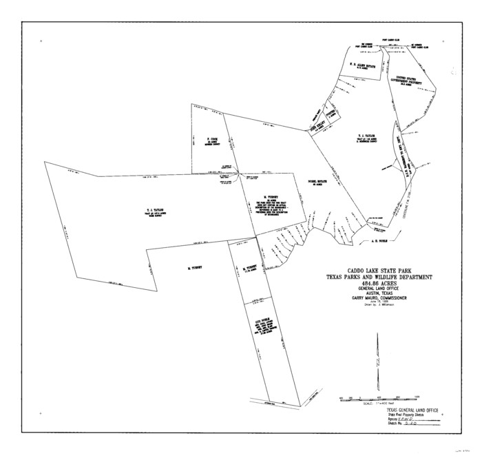
Harrison County State Real Property Sketch 1
1986

Travis County State Real Property Sketch 2
1986

Fort Bend County State Real Property Sketch 12
1986

Fort Bend County State Real Property Sketch 6
1986

Fort Bend County State Real Property Sketch 9
1986

Fort Bend County State Real Property Sketch 11
1986
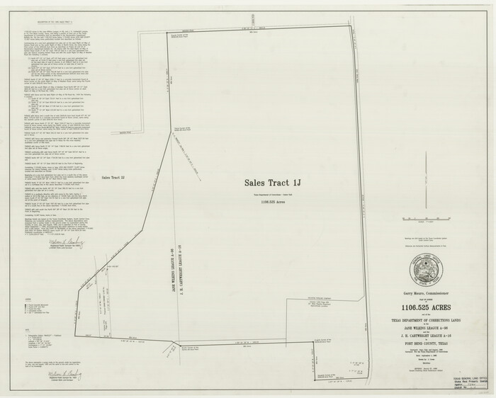
Fort Bend County State Real Property Sketch 1
1986
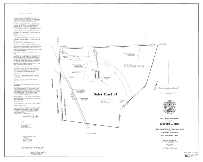
Fort Bend County State Real Property Sketch 2
1986
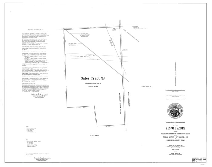
Fort Bend County State Real Property Sketch 3
1986
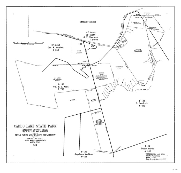
Harrison County State Real Property Sketch 2
1986

Travis County State Real Property Sketch 6
1987
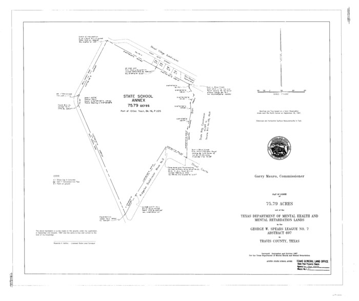
Travis County State Real Property Sketch 4
1987
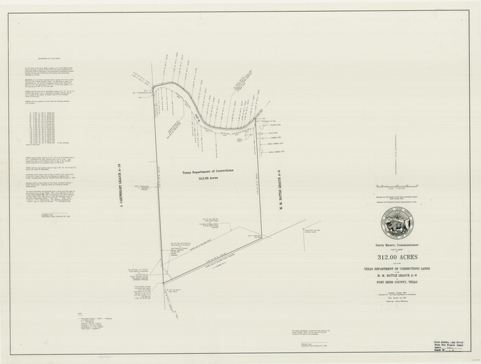
Fort Bend County State Real Property Sketch 4
1987

Fort Bend County State Real Property Sketch 13
1987
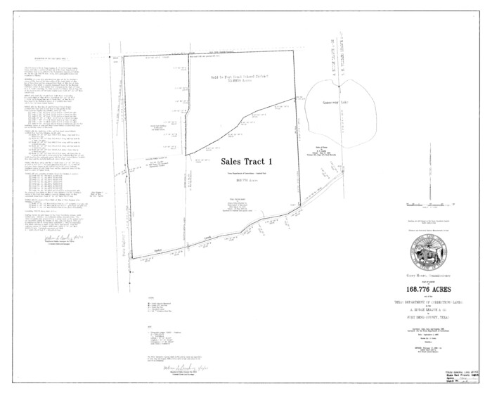
Fort Bend County State Real Property Sketch 5
1988
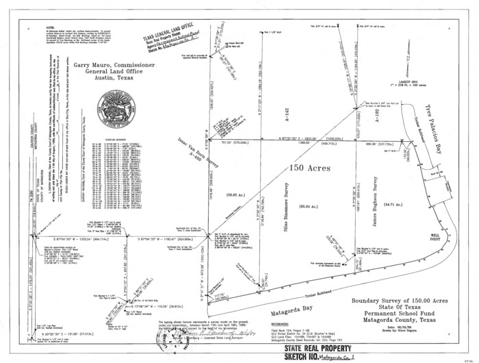
Matagorda County State Real Property Sketch 1
1989
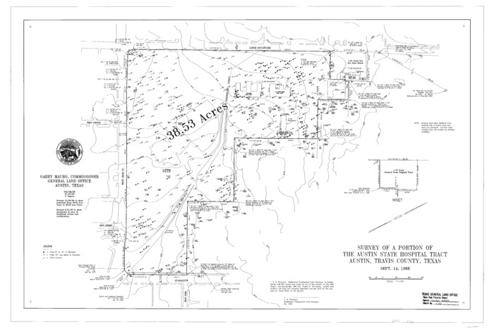
Travis County State Real Property Sketch 5
1990

Harris County State Real Property Sketch 6
-
Size
23.6 x 35.9 inches
-
Map/Doc
96641

Harris County State Real Property Sketch 1
1985
-
Size
42.7 x 41.6 inches
-
Map/Doc
61690
-
Creation Date
1985

Fort Bend County State Real Property Sketch 17
1985
-
Size
17.8 x 22.8 inches
-
Map/Doc
61665
-
Creation Date
1985

Williamson County State Real Property Sketch 1
1985
-
Size
46.1 x 36.2 inches
-
Map/Doc
61692
-
Creation Date
1985

Travis County State Real Property Sketch 3
1985
-
Size
34.3 x 35.9 inches
-
Map/Doc
61694
-
Creation Date
1985

Fort Bend County State Real Property Sketch 10
1985
-
Size
43.4 x 34.7 inches
-
Map/Doc
61684
-
Creation Date
1985

Travis County State Real Property Sketch 7
1985
-
Size
30.9 x 43.4 inches
-
Map/Doc
61699
-
Creation Date
1985

Webb County State Real Property Sketch 1
1985
-
Size
23.4 x 17.7 inches
-
Map/Doc
61664
-
Creation Date
1985

Fort Bend County State Real Property Sketch 7
1985
-
Size
34.7 x 44.3 inches
-
Map/Doc
61681
-
Creation Date
1985

Fort Bend County State Real Property Sketch 15
1985
-
Size
34.9 x 43.5 inches
-
Map/Doc
61689
-
Creation Date
1985

Fort Bend County State Real Property Sketch 8
1985
-
Size
35.0 x 43.6 inches
-
Map/Doc
61682
-
Creation Date
1985

Travis County State Real Property Sketch 1
1985
-
Size
34.9 x 23.3 inches
-
Map/Doc
61691
-
Creation Date
1985

Fort Bend County State Real Property Sketch 14
1985
-
Size
36.7 x 35.6 inches
-
Map/Doc
61688
-
Creation Date
1985

Harrison County State Real Property Sketch 1
1986
-
Size
24.2 x 25.4 inches
-
Map/Doc
61666
-
Creation Date
1986

Travis County State Real Property Sketch 2
1986
-
Size
34.0 x 35.5 inches
-
Map/Doc
61693
-
Creation Date
1986

Fort Bend County State Real Property Sketch 12
1986
-
Size
43.2 x 35.0 inches
-
Map/Doc
61686
-
Creation Date
1986

Fort Bend County State Real Property Sketch 6
1986
-
Size
34.9 x 43.6 inches
-
Map/Doc
61680
-
Creation Date
1986

Fort Bend County State Real Property Sketch 9
1986
-
Size
34.7 x 43.2 inches
-
Map/Doc
61683
-
Creation Date
1986

Fort Bend County State Real Property Sketch 11
1986
-
Size
34.6 x 43.2 inches
-
Map/Doc
61685
-
Creation Date
1986

Fort Bend County State Real Property Sketch 1
1986
-
Size
34.7 x 43.2 inches
-
Map/Doc
61675
-
Creation Date
1986

Fort Bend County State Real Property Sketch 2
1986
-
Size
34.8 x 43.4 inches
-
Map/Doc
61676
-
Creation Date
1986

Fort Bend County State Real Property Sketch 3
1986
-
Size
34.5 x 43.6 inches
-
Map/Doc
61677
-
Creation Date
1986

Harrison County State Real Property Sketch 2
1986
-
Size
23.9 x 25.0 inches
-
Map/Doc
61667
-
Creation Date
1986

Travis County State Real Property Sketch 6
1987
-
Size
30.2 x 41.4 inches
-
Map/Doc
61697
-
Creation Date
1987

Travis County State Real Property Sketch 4
1987
-
Size
25.7 x 30.7 inches
-
Map/Doc
61695
-
Creation Date
1987

Fort Bend County State Real Property Sketch 4
1987
-
Size
36.3 x 47.9 inches
-
Map/Doc
61678
-
Creation Date
1987

Fort Bend County State Real Property Sketch 13
1987
-
Size
36.3 x 47.9 inches
-
Map/Doc
61687
-
Creation Date
1987

Fort Bend County State Real Property Sketch 5
1988
-
Size
35.3 x 43.6 inches
-
Map/Doc
61679
-
Creation Date
1988

Matagorda County State Real Property Sketch 1
1989
-
Size
19.1 x 25.2 inches
-
Map/Doc
95171
-
Creation Date
1989

Travis County State Real Property Sketch 5
1990
-
Size
25.4 x 37.5 inches
-
Map/Doc
61696
-
Creation Date
1990