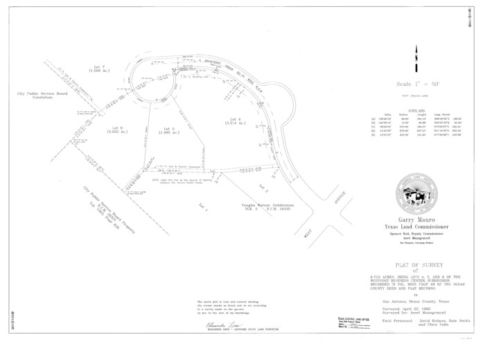
Bexar County State Real Property Sketch 1
1992
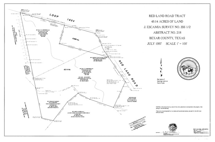
Bexar County State Real Property Sketch 2
1997
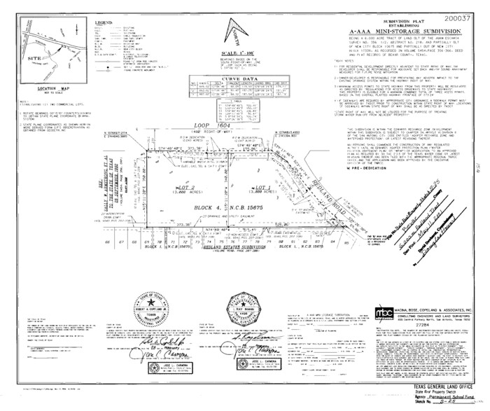
Bexar County State Real Property Sketch 3
2000
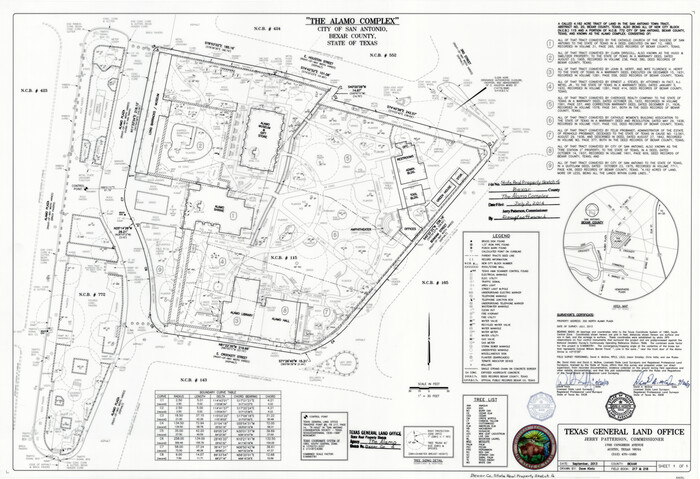
Bexar County State Real Property Sketch 4
2013
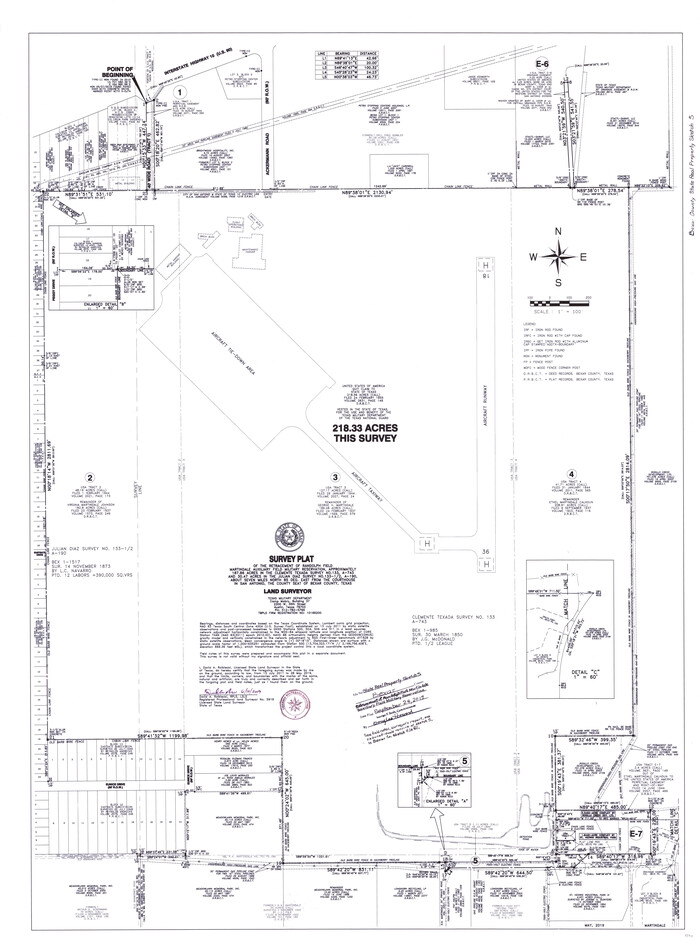
Bexar County State Real Property Sketch 5
2019
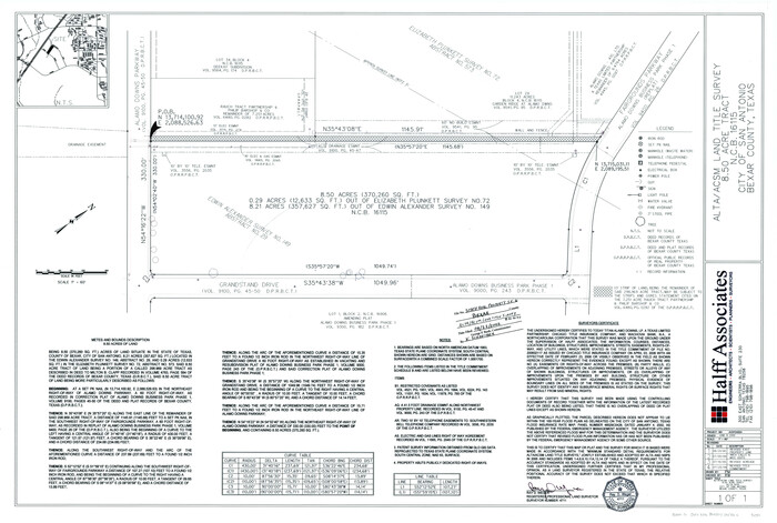
Bexar County State Real Property Sketch 6
2006
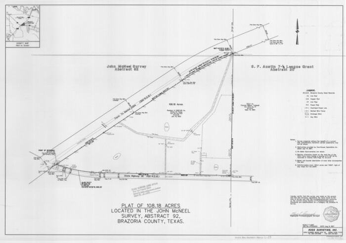
Brazoria County State Real Property Sketch 1
1997
Brazoria County State Real Property Sketch 2
2003
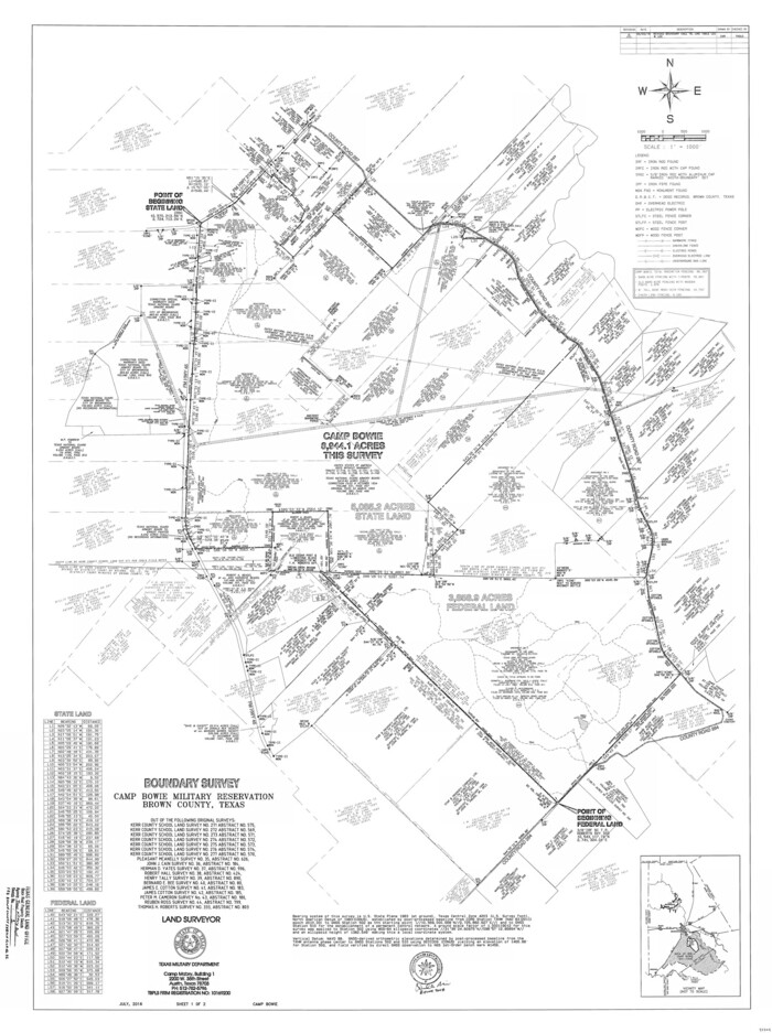
Brown County State Real Property Sketch 1
2018
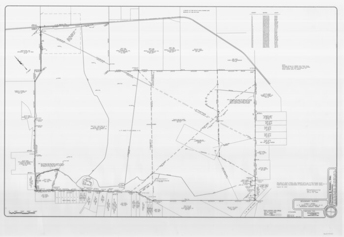
Burleson County State Real Property Sketch 1
2003

Cameron County State Real Property Sketch 1
1996
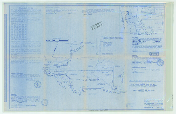
Cameron County State Real Property Sketch 2
1996
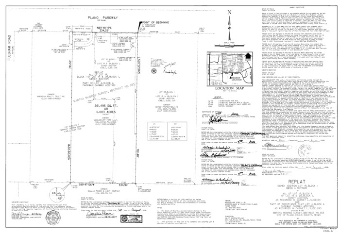
Collin County State Real Property Sketch 1
2006

Comal County State Real Property Sketch 1
2006
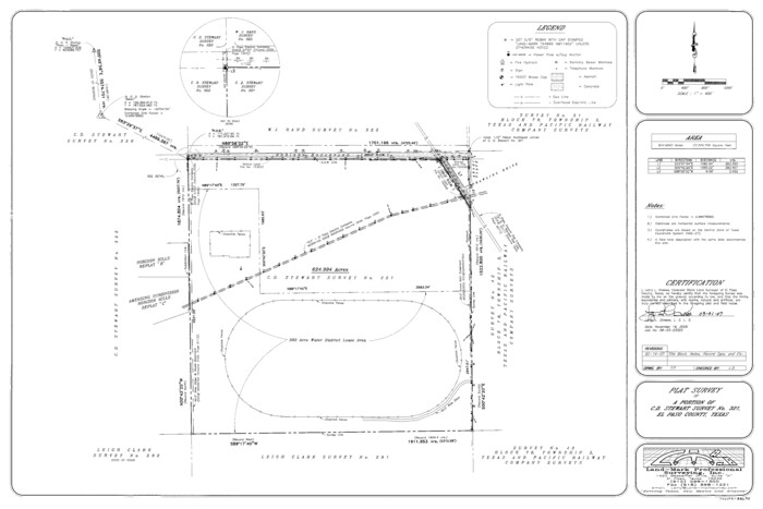
El Paso County State Real Property Sketch 1
2007
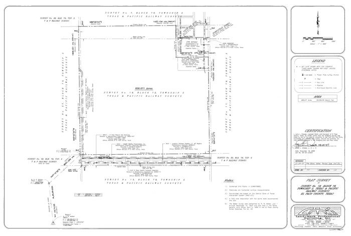
El Paso County State Real Property Sketch 2
2007
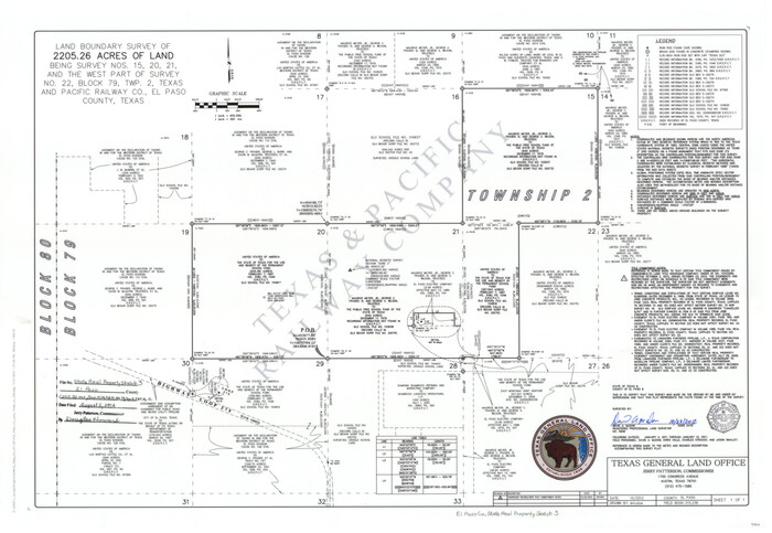
El Paso County State Real Property Sketch 3
2012

El Paso County State Real Property Sketch 4
2012
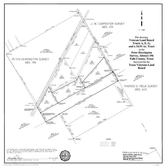
Falls County State Real Property Sketch 1
1999
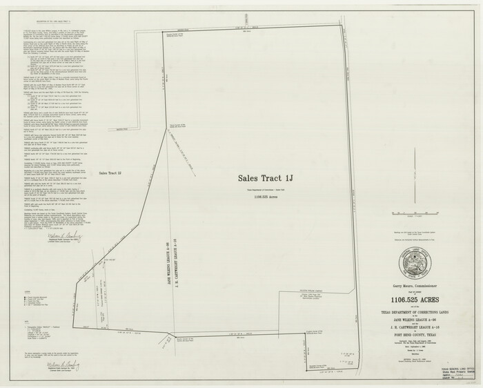
Fort Bend County State Real Property Sketch 1
1986

Fort Bend County State Real Property Sketch 10
1985

Fort Bend County State Real Property Sketch 11
1986

Fort Bend County State Real Property Sketch 12
1986

Fort Bend County State Real Property Sketch 13
1987

Fort Bend County State Real Property Sketch 14
1985
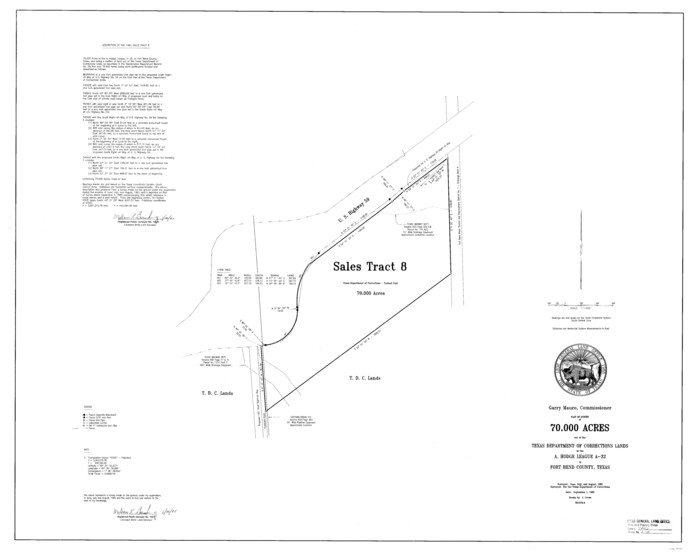
Fort Bend County State Real Property Sketch 15
1985
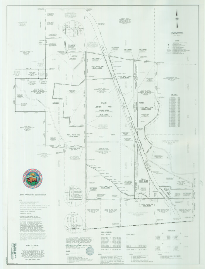
Fort Bend County State Real Property Sketch 16
2004
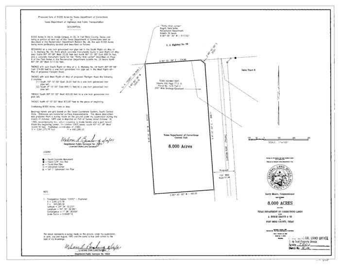
Fort Bend County State Real Property Sketch 17
1985

Fort Bend County State Real Property Sketch 18
2006
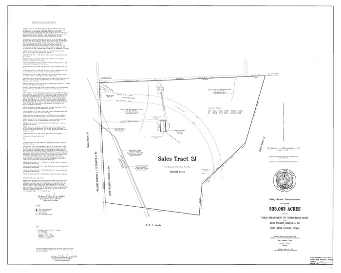
Fort Bend County State Real Property Sketch 2
1986

Bexar County State Real Property Sketch 1
1992
-
Size
30.0 x 42.2 inches
-
Map/Doc
61698
-
Creation Date
1992

Bexar County State Real Property Sketch 2
1997
-
Size
25.6 x 38.7 inches
-
Map/Doc
61701
-
Creation Date
1997

Bexar County State Real Property Sketch 3
2000
-
Size
18.8 x 22.5 inches
-
Map/Doc
61671
-
Creation Date
2000

Bexar County State Real Property Sketch 4
2013
-
Size
25.0 x 36.5 inches
-
Map/Doc
93692
-
Creation Date
2013

Bexar County State Real Property Sketch 5
2019
-
Size
48.0 x 35.8 inches
-
Map/Doc
95710
-
Creation Date
2019

Bexar County State Real Property Sketch 6
2006
-
Size
22.2 x 33.1 inches
-
Map/Doc
96980
-
Creation Date
2006

Brazoria County State Real Property Sketch 1
1997
-
Size
24.4 x 34.8 inches
-
Map/Doc
80127
-
Creation Date
1997

Brazoria County State Real Property Sketch 2
2003
-
Size
31.0 x 42.9 inches
-
Map/Doc
83356
-
Creation Date
2003

Brown County State Real Property Sketch 1
2018
-
Size
48.0 x 36.0 inches
-
Map/Doc
95204
-
Creation Date
2018

Burleson County State Real Property Sketch 1
2003
-
Size
37.0 x 53.6 inches
-
Map/Doc
81907
-
Creation Date
2003

Cameron County State Real Property Sketch 1
1996
-
Size
25.1 x 38.9 inches
-
Map/Doc
80130
-
Creation Date
1996

Cameron County State Real Property Sketch 2
1996
-
Size
25.4 x 39.1 inches
-
Map/Doc
80132
-
Creation Date
1996

Collin County State Real Property Sketch 1
2006
-
Size
24.1 x 35.1 inches
-
Map/Doc
88634
-
Creation Date
2006

Comal County State Real Property Sketch 1
2006
-
Size
23.8 x 35.4 inches
-
Map/Doc
88635
-
Creation Date
2006

El Paso County State Real Property Sketch 1
2007
-
Size
24.1 x 36.2 inches
-
Map/Doc
88670
-
Creation Date
2007

El Paso County State Real Property Sketch 2
2007
-
Size
24.4 x 36.2 inches
-
Map/Doc
88671
-
Creation Date
2007

El Paso County State Real Property Sketch 3
2012
-
Size
25.1 x 36.4 inches
-
Map/Doc
93700
-
Creation Date
2012

El Paso County State Real Property Sketch 4
2012
-
Size
29.9 x 35.9 inches
-
Map/Doc
93701
-
Creation Date
2012

Falls County State Real Property Sketch 1
1999
-
Size
23.6 x 23.5 inches
-
Map/Doc
61669
-
Creation Date
1999

Fort Bend County State Real Property Sketch 1
1986
-
Size
34.7 x 43.2 inches
-
Map/Doc
61675
-
Creation Date
1986

Fort Bend County State Real Property Sketch 10
1985
-
Size
43.4 x 34.7 inches
-
Map/Doc
61684
-
Creation Date
1985

Fort Bend County State Real Property Sketch 11
1986
-
Size
34.6 x 43.2 inches
-
Map/Doc
61685
-
Creation Date
1986

Fort Bend County State Real Property Sketch 12
1986
-
Size
43.2 x 35.0 inches
-
Map/Doc
61686
-
Creation Date
1986

Fort Bend County State Real Property Sketch 13
1987
-
Size
36.3 x 47.9 inches
-
Map/Doc
61687
-
Creation Date
1987

Fort Bend County State Real Property Sketch 14
1985
-
Size
36.7 x 35.6 inches
-
Map/Doc
61688
-
Creation Date
1985

Fort Bend County State Real Property Sketch 15
1985
-
Size
34.9 x 43.5 inches
-
Map/Doc
61689
-
Creation Date
1985

Fort Bend County State Real Property Sketch 16
2004
-
Size
47.9 x 36.5 inches
-
Map/Doc
80139
-
Creation Date
2004

Fort Bend County State Real Property Sketch 17
1985
-
Size
17.8 x 22.8 inches
-
Map/Doc
61665
-
Creation Date
1985

Fort Bend County State Real Property Sketch 18
2006
-
Size
17.7 x 24.0 inches
-
Map/Doc
88615
-
Creation Date
2006

Fort Bend County State Real Property Sketch 2
1986
-
Size
34.8 x 43.4 inches
-
Map/Doc
61676
-
Creation Date
1986