El Paso County Sketch File 26
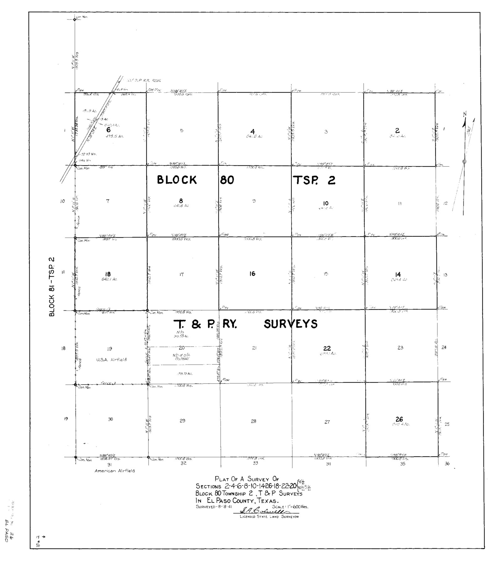
Plat of a Survey of Sections 2-4-6-8-10-14-26-18-22-20 Block 80 Township 2, T&P Surveys in El Paso County, Texas
-
Map/Doc
11457
-
Collection
General Map Collection
-
Object Dates
1941/4/25 (File Date)
1941/8/18 (Survey Date)
-
People and Organizations
S.A. Colwell (Surveyor/Engineer)
-
Counties
El Paso
-
Subjects
Surveying Sketch File
-
Height x Width
24.8 x 21.9 inches
63.0 x 55.6 cm
-
Medium
paper, photocopy
-
Scale
1:600
Part of: General Map Collection
Karnes County Boundary File 6

Print $16.00
- Digital $50.00
Karnes County Boundary File 6
Size 9.3 x 4.0 inches
Map/Doc 55735
Flight Mission No. CLL-1N, Frame 28, Willacy County

Print $20.00
- Digital $50.00
Flight Mission No. CLL-1N, Frame 28, Willacy County
1954
Size 18.5 x 22.1 inches
Map/Doc 87009
Tyler County Sketch File 23

Print $20.00
- Digital $50.00
Tyler County Sketch File 23
Size 25.3 x 20.9 inches
Map/Doc 12500
Mexico, Texas und Californien

Print $20.00
- Digital $50.00
Mexico, Texas und Californien
1855
Size 22.7 x 28.0 inches
Map/Doc 93651
Morris County Rolled Sketch 2A

Print $20.00
- Digital $50.00
Morris County Rolled Sketch 2A
Size 24.3 x 19.1 inches
Map/Doc 10239
Concho County Working Sketch 6

Print $20.00
- Digital $50.00
Concho County Working Sketch 6
1948
Size 47.3 x 43.2 inches
Map/Doc 68188
Orange County Sketch File 23

Print $36.00
- Digital $50.00
Orange County Sketch File 23
1911
Size 9.2 x 5.9 inches
Map/Doc 33344

Culberson County Sketch File 3a

Print $3.00
- Digital $50.00
Culberson County Sketch File 3a
1879
Size 8.0 x 16.7 inches
Map/Doc 20122
Cottle County Rolled Sketch 13

Print $20.00
- Digital $50.00
Cottle County Rolled Sketch 13
1976
Size 21.6 x 35.5 inches
Map/Doc 5571
La Salle County Working Sketch 37

Print $20.00
- Digital $50.00
La Salle County Working Sketch 37
1960
Size 24.4 x 21.7 inches
Map/Doc 70338
University Land Field Notes for Blocks 29 through 33, Crockett County

University Land Field Notes for Blocks 29 through 33, Crockett County
Map/Doc 81715
You may also like
Rusk County Working Sketch 21

Print $20.00
- Digital $50.00
Rusk County Working Sketch 21
1953
Size 27.6 x 28.3 inches
Map/Doc 63657
Flight Mission No. DQN-1K, Frame 158, Calhoun County

Print $20.00
- Digital $50.00
Flight Mission No. DQN-1K, Frame 158, Calhoun County
1953
Size 18.6 x 22.3 inches
Map/Doc 84217
Flight Mission No. DCL-6C, Frame 18, Kenedy County

Print $20.00
- Digital $50.00
Flight Mission No. DCL-6C, Frame 18, Kenedy County
1943
Size 18.6 x 22.5 inches
Map/Doc 85875
Hardeman County Sketch File 9

Print $20.00
- Digital $50.00
Hardeman County Sketch File 9
1884
Size 27.7 x 30.1 inches
Map/Doc 11624
Langtree's New Sectional Map of the State of Arkansas

Print $20.00
- Digital $50.00
Langtree's New Sectional Map of the State of Arkansas
Size 34.6 x 38.4 inches
Map/Doc 93987
Town of Ropes Hockley County, Texas

Print $20.00
- Digital $50.00
Town of Ropes Hockley County, Texas
Size 29.3 x 28.7 inches
Map/Doc 92222
Kimble County Working Sketch 34

Print $20.00
- Digital $50.00
Kimble County Working Sketch 34
1945
Size 34.4 x 26.7 inches
Map/Doc 70102
Dawson County Sketch File 31

Print $4.00
- Digital $50.00
Dawson County Sketch File 31
1989
Size 11.4 x 9.0 inches
Map/Doc 20614
[Sketch showing Block 42, Sections 221 and 222 and Block H, Sections 7 and 9]
![91714, [Sketch showing Block 42, Sections 221 and 222 and Block H, Sections 7 and 9], Twichell Survey Records](https://historictexasmaps.com/wmedia_w700/maps/91714-1.tif.jpg)
Print $2.00
- Digital $50.00
[Sketch showing Block 42, Sections 221 and 222 and Block H, Sections 7 and 9]
1919
Size 5.6 x 5.0 inches
Map/Doc 91714
Fannin County Sketch File 7

Print $40.00
- Digital $50.00
Fannin County Sketch File 7
1857
Size 16.8 x 13.5 inches
Map/Doc 22451
Map of Hopkins County

Print $20.00
- Digital $50.00
Map of Hopkins County
1872
Size 17.5 x 17.9 inches
Map/Doc 4567
Bird's Eye View of Jefferson, Texas

Print $20.00
Bird's Eye View of Jefferson, Texas
1872
Size 18.7 x 23.5 inches
Map/Doc 89095