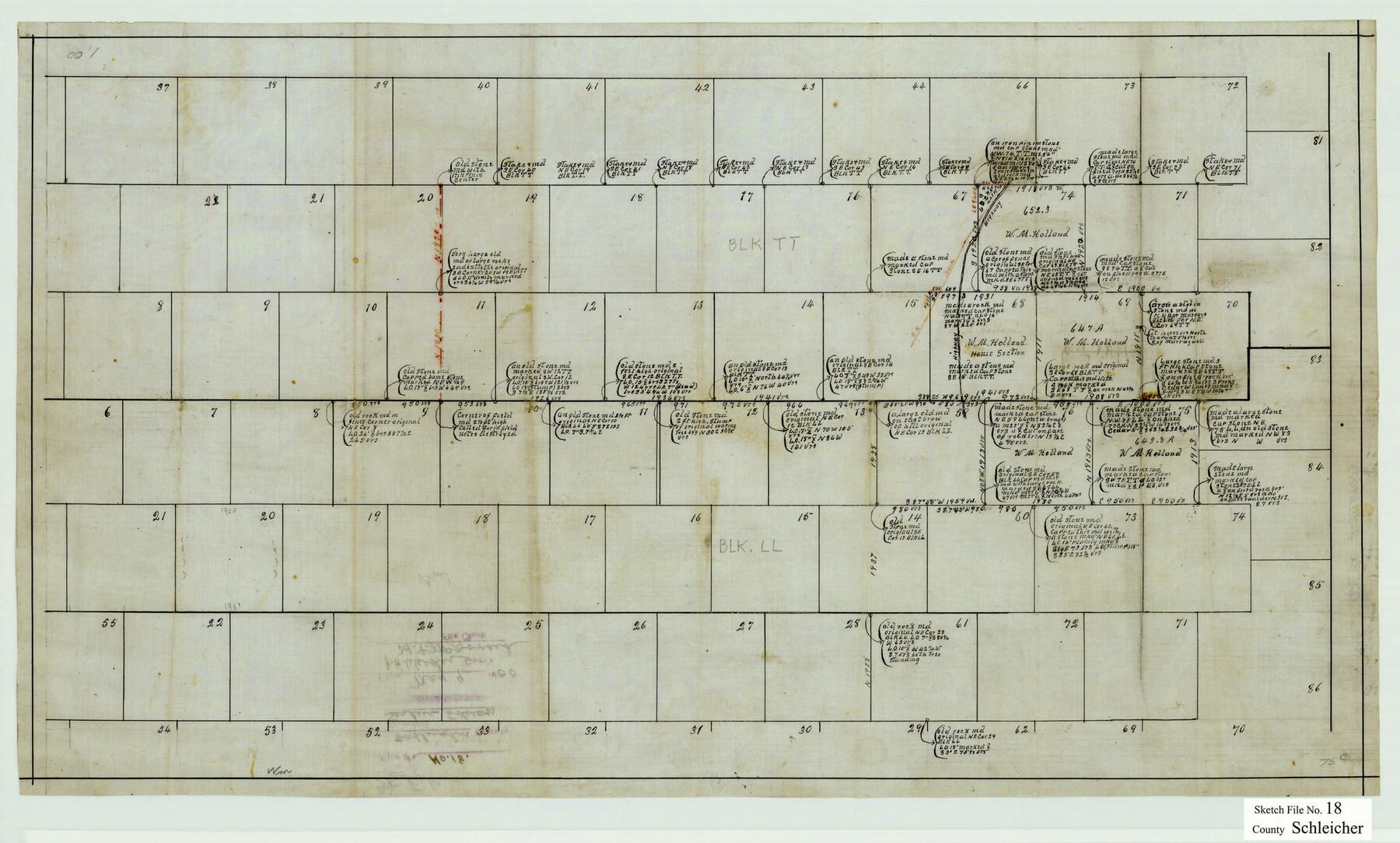
Schleicher County Sketch File 18
[Sketch of surveys in the south part of Block TT and north part of Block LL]
-
Map/Doc
12300
-
Collection
General Map Collection
-
Object Dates
1930/5/9 (File Date)
-
People and Organizations
Edgar C. Saunders (Surveyor/Engineer)
-
Counties
Schleicher
-
Subjects
Surveying Sketch File
-
Height x Width
15.1 x 25.0 inches
38.4 x 63.5 cm
-
Medium
paper, manuscript
Part of: General Map Collection
Cooke County Sketch File 38 1/2

Print $20.00
- Digital $50.00
Cooke County Sketch File 38 1/2
Size 21.5 x 16.6 inches
Map/Doc 11175
Glasscock County

Print $20.00
- Digital $50.00
Glasscock County
1933
Size 41.1 x 34.7 inches
Map/Doc 77290
Runnels County Rolled Sketch 29

Print $20.00
- Digital $50.00
Runnels County Rolled Sketch 29
1928
Size 19.6 x 37.0 inches
Map/Doc 7517
Ochiltree County

Print $20.00
- Digital $50.00
Ochiltree County
1958
Size 41.0 x 33.1 inches
Map/Doc 77386
Flight Mission No. DQO-8K, Frame 40, Galveston County

Print $20.00
- Digital $50.00
Flight Mission No. DQO-8K, Frame 40, Galveston County
1952
Size 18.5 x 22.3 inches
Map/Doc 85147
Map No. 8-A, Calhoun Co. - Revision of the East portion of Espiritu Santo Bay Tracts

Print $5.00
- Digital $50.00
Map No. 8-A, Calhoun Co. - Revision of the East portion of Espiritu Santo Bay Tracts
1978
Size 21.2 x 28.0 inches
Map/Doc 2498
Presidio County

Print $40.00
- Digital $50.00
Presidio County
1875
Size 98.1 x 36.4 inches
Map/Doc 88866
Flight Mission No. BQR-16K, Frame 31, Brazoria County

Print $20.00
- Digital $50.00
Flight Mission No. BQR-16K, Frame 31, Brazoria County
1952
Size 18.5 x 22.1 inches
Map/Doc 84098
Red River County Sketch File 24

Print $6.00
- Digital $50.00
Red River County Sketch File 24
1920
Size 11.4 x 8.8 inches
Map/Doc 35158
Flight Mission No. CRC-3R, Frame 47, Chambers County

Print $20.00
- Digital $50.00
Flight Mission No. CRC-3R, Frame 47, Chambers County
1956
Size 18.6 x 22.3 inches
Map/Doc 84820
National Map Company's Ohio showing Counties, Townships, Cities, Villages, Post Offices, Steam and Electric Railways, With Stations and Distances Between Stations

Print $20.00
- Digital $50.00
National Map Company's Ohio showing Counties, Townships, Cities, Villages, Post Offices, Steam and Electric Railways, With Stations and Distances Between Stations
1920
Size 38.7 x 32.3 inches
Map/Doc 97109
Rusk County Working Sketch 35

Print $20.00
- Digital $50.00
Rusk County Working Sketch 35
2005
Size 28.7 x 42.0 inches
Map/Doc 83584
You may also like
Cottle County

Print $20.00
- Digital $50.00
Cottle County
1908
Size 43.9 x 39.0 inches
Map/Doc 66788
Dickens County Sketch File G

Print $8.00
- Digital $50.00
Dickens County Sketch File G
Size 12.0 x 8.7 inches
Map/Doc 20854
[Blocks M17, M18, M23, H, I, Z, and XO2]
![91245, [Blocks M17, M18, M23, H, I, Z, and XO2], Twichell Survey Records](https://historictexasmaps.com/wmedia_w700/maps/91245-1.tif.jpg)
Print $20.00
- Digital $50.00
[Blocks M17, M18, M23, H, I, Z, and XO2]
Size 34.5 x 27.2 inches
Map/Doc 91245
Rockwall County Boundary File 9a

Print $4.00
- Digital $50.00
Rockwall County Boundary File 9a
Size 14.0 x 8.8 inches
Map/Doc 58437
[Sketch showing A. B. & M. Block 2 in Potter and Randall Counties]
![91822, [Sketch showing A. B. & M. Block 2 in Potter and Randall Counties], Twichell Survey Records](https://historictexasmaps.com/wmedia_w700/maps/91822-1.tif.jpg)
Print $20.00
- Digital $50.00
[Sketch showing A. B. & M. Block 2 in Potter and Randall Counties]
1916
Size 27.2 x 33.4 inches
Map/Doc 91822
Montague County Working Sketch 33

Print $20.00
- Digital $50.00
Montague County Working Sketch 33
1976
Size 30.6 x 43.3 inches
Map/Doc 71099
Foard County Working Sketch 15

Print $40.00
- Digital $50.00
Foard County Working Sketch 15
1982
Size 43.7 x 76.0 inches
Map/Doc 69206
Fort Bend County State Real Property Sketch 3

Print $40.00
- Digital $50.00
Fort Bend County State Real Property Sketch 3
1986
Size 34.5 x 43.6 inches
Map/Doc 61677
Energy Map of Texas

Print $20.00
- Digital $50.00
Energy Map of Texas
2020
Size 36.0 x 36.0 inches
Map/Doc 96436
Gaines County Rolled Sketch 9

Print $20.00
- Digital $50.00
Gaines County Rolled Sketch 9
Size 20.9 x 29.8 inches
Map/Doc 5929
San Antonio Bay and Vicinity in Aransas and Calhoun Counties, showing Subdivsion for Mineral Development

Print $40.00
- Digital $50.00
San Antonio Bay and Vicinity in Aransas and Calhoun Counties, showing Subdivsion for Mineral Development
1948
Size 37.0 x 74.5 inches
Map/Doc 1912
Dickens County Sketch File H2

Print $2.00
- Digital $50.00
Dickens County Sketch File H2
Size 12.9 x 8.2 inches
Map/Doc 20874